Howell Fen
Downs, Moorland in Lincolnshire North Kesteven
England
Howell Fen
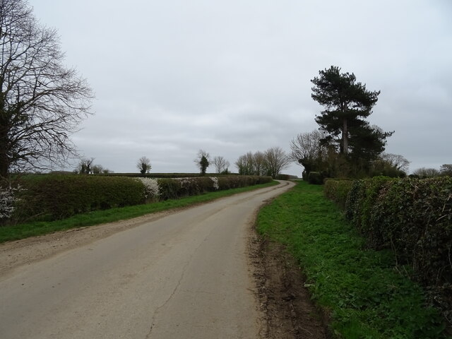
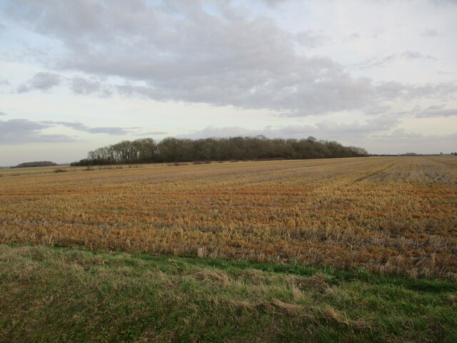
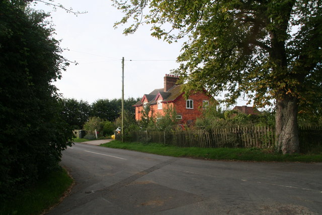
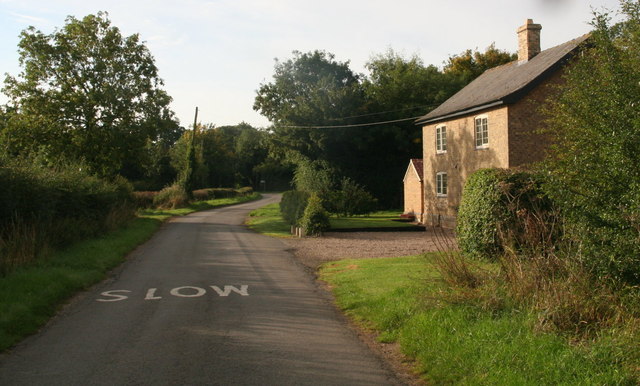
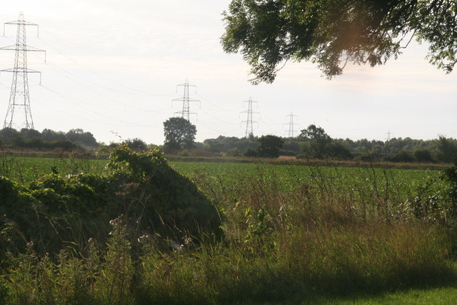
Howell Fen is a picturesque area located in Lincolnshire, England. It is known for its stunning landscapes, which consist of downs and moorland. The fen is situated in a rural part of the county, offering a tranquil and peaceful environment for visitors.
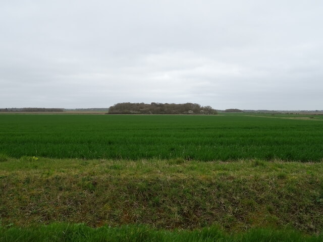
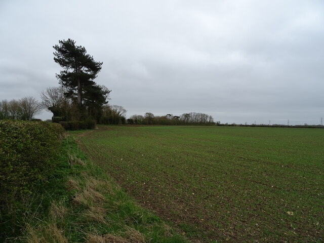
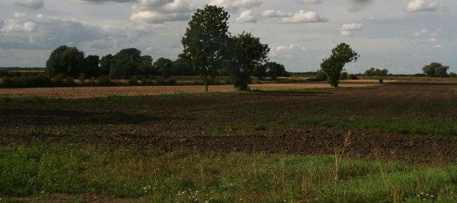
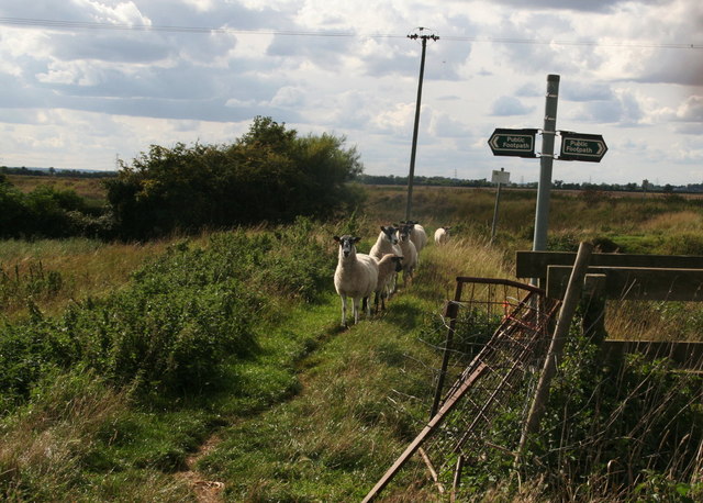
The downs in Howell Fen are characterized by their gently rolling hills and open grasslands. These areas provide breathtaking views of the surrounding countryside, making it a popular spot for nature enthusiasts and hikers. The downs are also home to a diverse range of flora and fauna, including wildflowers, birds, and small mammals.
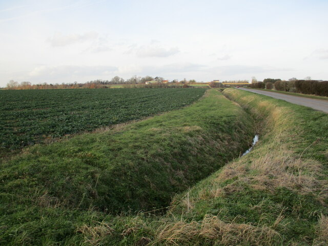
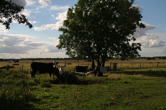
The moorland in Howell Fen is a unique ecosystem with its own set of characteristics. It is characterized by its low-lying, waterlogged areas and heath vegetation, including heather and gorse. The moorland provides a habitat for a variety of wildlife, such as rabbits, foxes, and various species of birds.
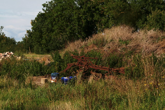
In addition to its natural beauty, Howell Fen has a rich history and cultural heritage. It is believed to have been inhabited since ancient times, with evidence of human activity dating back to the prehistoric era. The area has also been the site of archaeological discoveries, including Roman artifacts and medieval settlements.
Today, Howell Fen attracts visitors from near and far who come to explore its stunning landscapes, enjoy outdoor activities such as hiking and birdwatching, and learn about its fascinating history. The fen offers a unique blend of natural beauty, tranquility, and cultural significance, making it a must-visit destination in Lincolnshire.
If you have any feedback on the listing, please let us know in the comments section below.
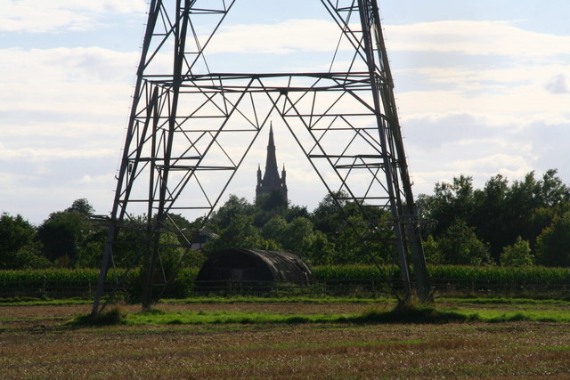
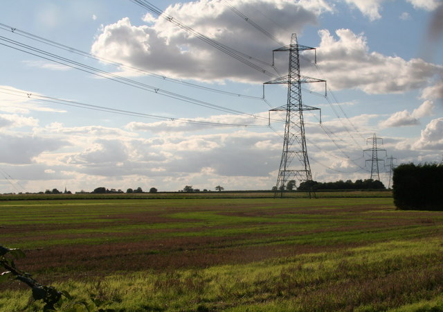
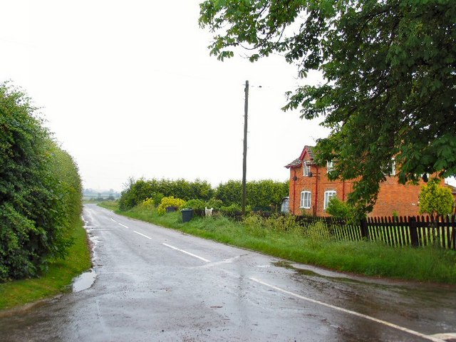
Howell Fen Images
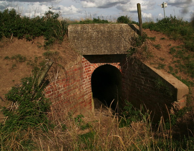
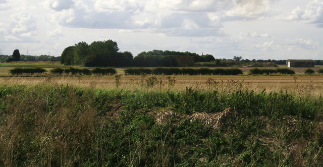
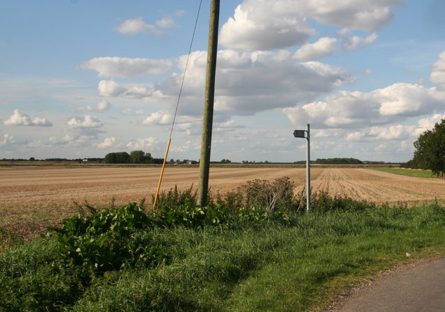
Images are sourced within 2km of 53.005648/-0.28667205 or Grid Reference TF1546. Thanks to Geograph Open Source API. All images are credited.
Howell Fen is located at Grid Ref: TF1546 (Lat: 53.005648, Lng: -0.28667205)
Administrative County: Lincolnshire
District: North Kesteven
Police Authority: Lincolnshire
What 3 Words
///strong.fewer.payout. Near Heckington, Lincolnshire
Nearby Locations
Related Wikis

Car Dyke
The Car Dyke was, and to a large extent still is, a long ditch which runs along the western edge of the Fens in eastern England for a distance of over...

Howell, Lincolnshire
Howell is a village in the civil parish of Asgarby and Howell, in the North Kesteven district of Lincolnshire, England, approximately 1 mile (1.6 km) north...
Ewerby Thorpe
Ewerby Thorpe is a hamlet in the civil parish of Ewerby and Evedon, in the North Kesteven district of Lincolnshire, England. It lies 2 miles (3.2 km) north...

Asgarby and Howell
Asgarby and Howell is a civil parish in the North Kesteven district of Lincolnshire, England, consisting of the villages of Asgarby and Howell. According...
Nearby Amenities
Located within 500m of 53.005648,-0.28667205Have you been to Howell Fen?
Leave your review of Howell Fen below (or comments, questions and feedback).