Otter Island
Downs, Moorland in Yorkshire
England
Otter Island
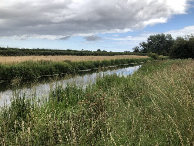
Otter Island is a small, picturesque island located off the coast of Yorkshire, England. Situated amidst the Yorkshire Downs and Moorland, it is known for its stunning natural beauty and rich wildlife. The island is accessible by boat and is a popular destination for nature enthusiasts, hikers, and bird watchers.
Covering an area of approximately 50 acres, Otter Island is characterized by its rugged terrain, with rocky cliffs and rolling hills. The landscape is dominated by heather moorland, providing a spectacular display of purple hues during the summer months. The island is also home to a variety of wildlife, including otters, after which it is named. These elusive creatures can often be spotted in the island's surrounding waters and along its rocky shores.
The island offers several walking trails, allowing visitors to explore its diverse habitats. A highlight is the coastal path, which offers breathtaking views of the North Sea and the surrounding coastline. The island is also home to a small lighthouse, which adds to its charm and serves as a landmark for ships passing by.
In addition to its natural beauty, Otter Island has a rich history. The ruins of an ancient monastery can be found on the island, dating back to the medieval period. This historical site attracts history enthusiasts and provides a glimpse into the island's past.
Overall, Otter Island is a hidden gem in Yorkshire, offering visitors a unique blend of natural beauty, wildlife, and history. Its unspoiled landscapes and tranquil atmosphere make it a must-visit destination for those seeking a peaceful retreat in the heart of nature.
If you have any feedback on the listing, please let us know in the comments section below.
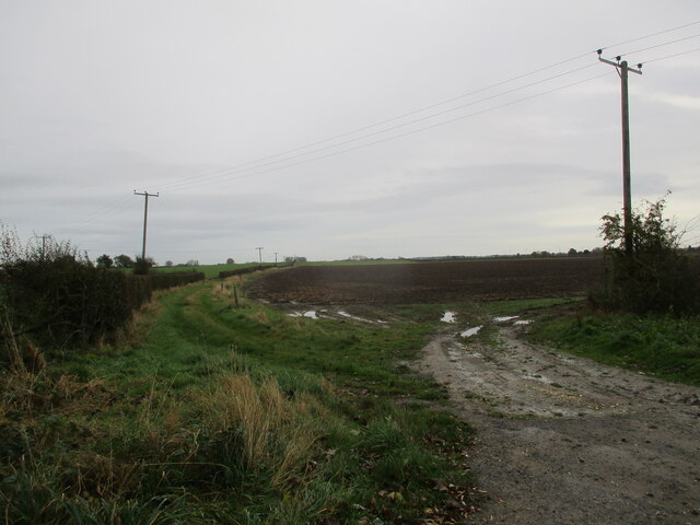
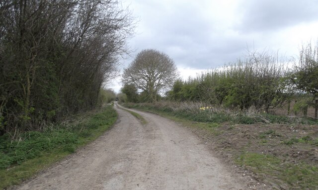
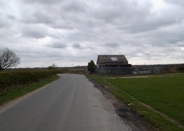
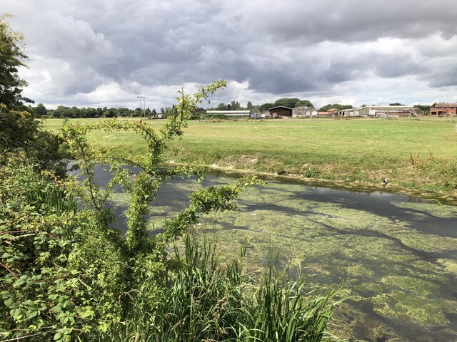
Otter Island Images
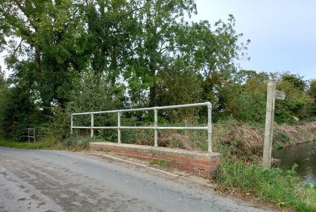
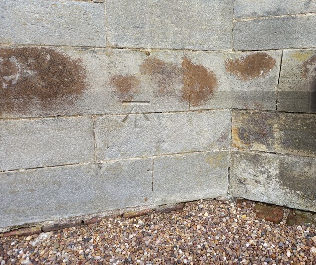
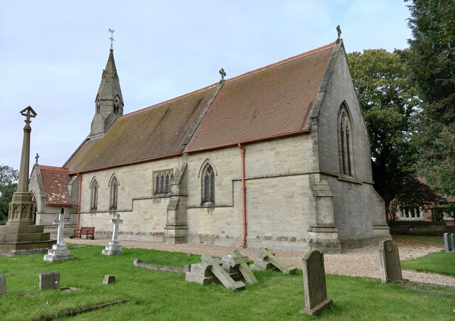
Images are sourced within 2km of 53.996781/-0.401265 or Grid Reference TA0456. Thanks to Geograph Open Source API. All images are credited.
![Wansford village hall The OS flush bracket [S6525] is on the south facing wall of the village hall.](https://s1.geograph.org.uk/geophotos/07/01/76/7017613_a65100e8.jpg)

Otter Island is located at Grid Ref: TA0456 (Lat: 53.996781, Lng: -0.401265)
Division: East Riding
Unitary Authority: East Riding of Yorkshire
Police Authority: Humberside
What 3 Words
///media.drawn.meanwhile. Near Nafferton, East Yorkshire
Nearby Locations
Related Wikis
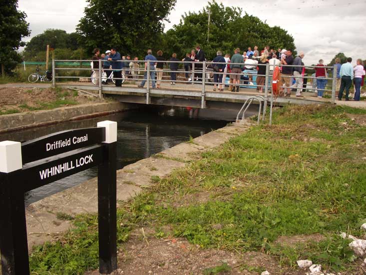
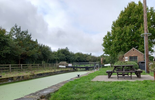
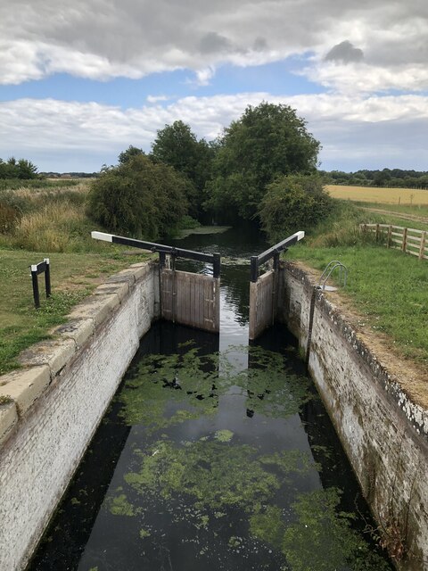
Whinhill Lock
Whinhill Lock was built as part of the Driffield Navigation in the East Riding of Yorkshire, England. It was originally opened in 1770, and was restored...

Wansford, East Riding of Yorkshire
Wansford is a village and former civil parish, now in the parish of Skerne and Wansford, in the East Riding of Yorkshire, England. It is situated on the...
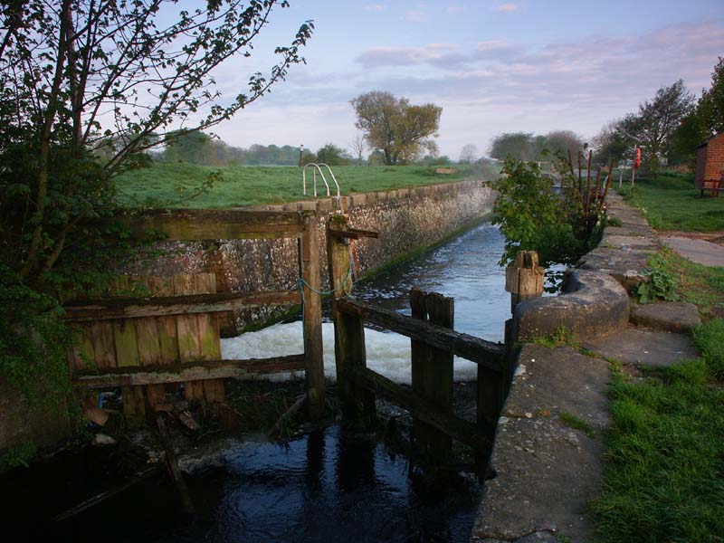
Wansford Lock
Wansford Lock was built as part of the Driffield Navigation in the East Riding of Yorkshire, England. It was opened in 1770, and restored in 2009. It was...

Skerne, East Riding of Yorkshire
Skerne is a village and former civil parish, now in the parish of Skerne and Wansford, in the East Riding of Yorkshire, England. The village is situated...

Nafferton railway station
Nafferton railway station serves the village of Nafferton in the East Riding of Yorkshire, England. It is located on the Yorkshire Coast Line and is operated...

Driffield railway station
Driffield railway station serves the town of Driffield in the East Riding of Yorkshire, England. It is located on the Hull–Scarborough line and is operated...

Driffield School
Driffield School & Sixth Form is a coeducational comprehensive school which is situated on Manorfield Road in Driffield, in the East Riding of Yorkshire...

Alfred Bean Hospital
Alfred Bean Hospital is a health facility in Bridlington Road, Driffield, East Riding of Yorkshire, England. == History == The facility has its origins...
Nearby Amenities
Located within 500m of 53.996781,-0.401265Have you been to Otter Island?
Leave your review of Otter Island below (or comments, questions and feedback).