West Field

Downs, Moorland in Yorkshire

England

West Field

Northfield Road Looking across the A163 from Street Lane on the east side of Bubwith.
Northfield Road Credit: DS Pugh

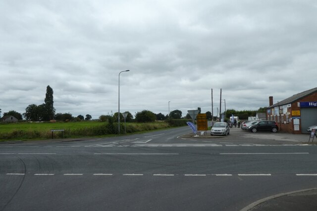
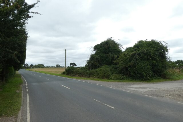
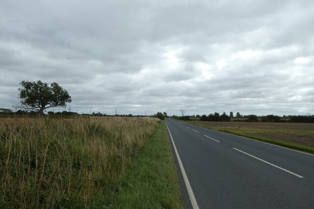
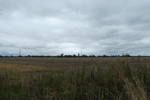
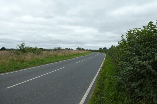
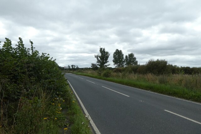
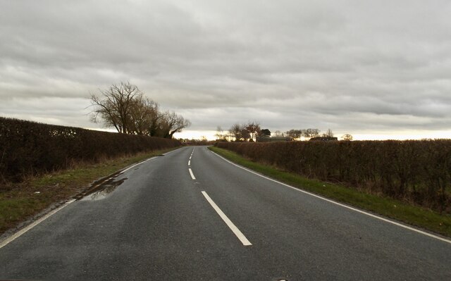
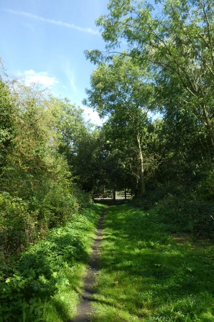
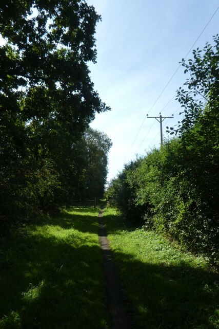
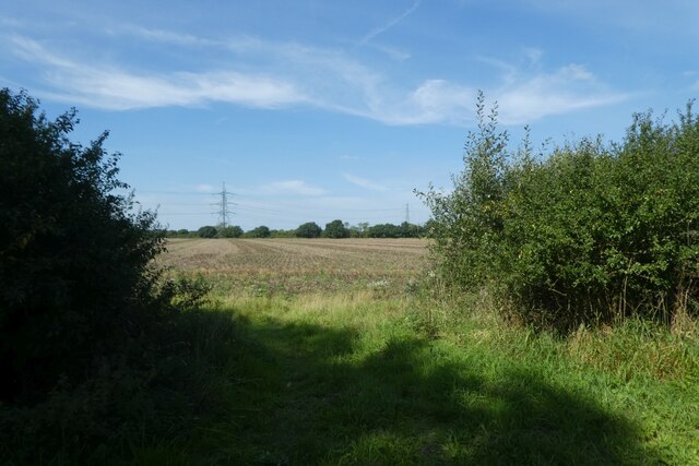
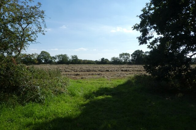
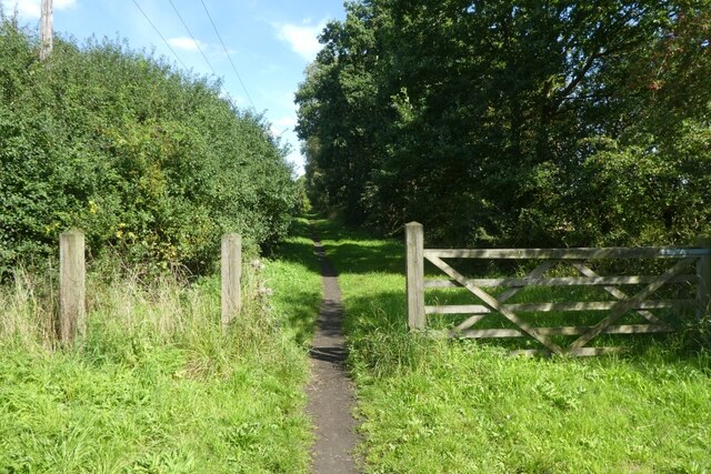
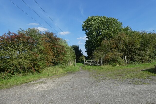
West Field in Yorkshire is a picturesque area known for its stunning downs and moorland landscapes. Located in the northern part of England, West Field is characterized by its rolling hills, vast open spaces, and rugged terrain. The area is home to a variety of wildlife, including birds of prey, sheep, and other native species.

Visitors to West Field can enjoy hiking, cycling, and horseback riding along the many trails that wind through the countryside. The views from the top of the hills are breathtaking, offering panoramic vistas of the surrounding countryside. In the summer, the moorland is alive with colorful wildflowers, while in the winter, the snow-covered landscape creates a magical winter wonderland.

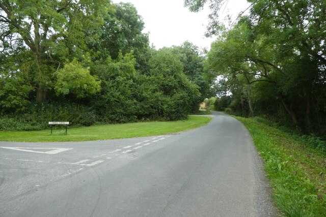
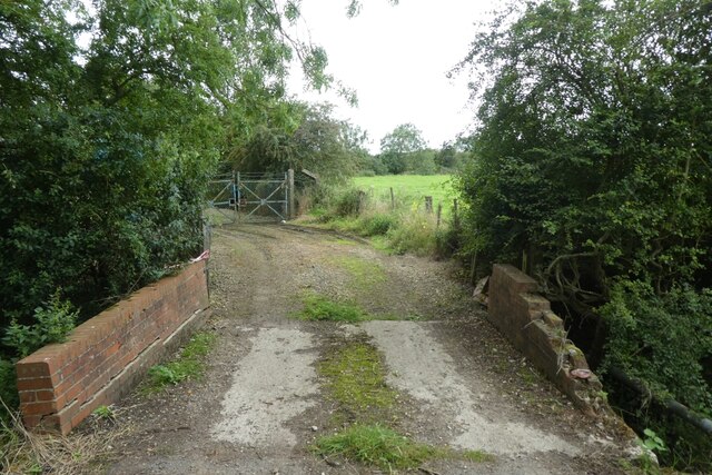
West Field is also rich in history, with ancient ruins and stone circles scattered throughout the area. Visitors can explore these archaeological sites and learn about the area's past inhabitants. The small villages that dot the landscape offer quaint accommodations and cozy pubs where visitors can relax and unwind after a day of exploring. Overall, West Field is a peaceful and serene destination for nature lovers and outdoor enthusiasts alike.

If you have any feedback on the listing, please let us know in the comments section below.

West Field Images

Images are sourced within 2km of 53.825295/-0.88466234 or Grid Reference SE7337. Thanks to Geograph Open Source API. All images are credited.

Northfield Road Looking across the A163 from Street Lane on the east side of Bubwith.
Northfield Road
Looking across the A163 from Street Lane on the east side of Bubwith.
Street Lane near Bubwith station site Looking along Street Lane where it meets the Bubwith Rail Trail.
Street Lane near Bubwith station site
Looking along Street Lane where it meets the Bubwith Rail Trail.
B1228 Street Lane Looking along Street Lane to the south of Bubwith.
B1228 Street Lane
Looking along Street Lane to the south of Bubwith.
Farmland east of Street Lane Looking across fields beside the B1228.
Farmland east of Street Lane
Looking across fields beside the B1228.
North along the B1228 Looking along Street Lane towards Bubwith.
North along the B1228
Looking along Street Lane towards Bubwith.
Road near Service Timber Looking along the B1228 Street Lane to the east of Breighton Airfield.
Road near Service Timber
Looking along the B1228 Street Lane to the east of Breighton Airfield.
Bell Lane Looking along Bell Lane at the junction with Hall Lane.
Bell Lane
Looking along Bell Lane at the junction with Hall Lane.
Track to sewerage works Looking along a track leading to the sewerage pumping station beside Bell Lane.
Track to sewerage works
Looking along a track leading to the sewerage pumping station beside Bell Lane.
December light on Northfield Road
Old milestone At Harlthorpe on the A163 between Selby and Market Weighton a very short section of the road has been realigned slightly and this stone stands on the grass between the old and newer sections.  Originally it would have had an oval metal plate with the legend Selby 9 Weighn 9.  It may have been taken off in 1940 and never put back.  So the legend was then painted on.   Although it is not very clear, the mileage to Market Weighton looks like 8 when it should be 9.  The tollroad from Selby Ferry to Market Weighton was operative between 1793 to 1879.
Old milestone
At Harlthorpe on the A163 between Selby and Market Weighton a very short section of the road has been realigned slightly and this stone stands on the grass between the old and newer sections. Originally it would have had an oval metal plate with the legend Selby 9 Weighn 9. It may have been taken off in 1940 and never put back. So the legend was then painted on. Although it is not very clear, the mileage to Market Weighton looks like 8 when it should be 9. The tollroad from Selby Ferry to Market Weighton was operative between 1793 to 1879.
Old milestone The top of the milestone in Harlethorpe on the Selby to Market Weighton road is covered in several kinds of lichens.  And this photograph also shows the OS benchmark and metal pin.
Old milestone
The top of the milestone in Harlethorpe on the Selby to Market Weighton road is covered in several kinds of lichens. And this photograph also shows the OS benchmark and metal pin.
Old milestone This milestone near the crossroads of the minor road from Seaton Ross to the north and the main Selby to Market Weighton Road is in front of White House Cottage.   The stone was once painted the same as the house walls.  It is another milestone probably dating from the turnpike era.  The Selby Ferry to Market Weighton tollroad was operative between 1793 to 1879 so this stone may date from the early to mid 19C.   There is a bench mark and hole (for a metal peg) in the top edge.   It is Grade II Listed 165265.
Old milestone
This milestone near the crossroads of the minor road from Seaton Ross to the north and the main Selby to Market Weighton Road is in front of White House Cottage. The stone was once painted the same as the house walls. It is another milestone probably dating from the turnpike era. The Selby Ferry to Market Weighton tollroad was operative between 1793 to 1879 so this stone may date from the early to mid 19C. There is a bench mark and hole (for a metal peg) in the top edge. It is Grade II Listed 165265.
Rail trail near Foggathorpe Station The former Market Weighton to Selby via Bubwith railway line is now a cycle path called the Bubwith Rail Trail. The station was across the road on the east side.
Rail trail near Foggathorpe Station
The former Market Weighton to Selby via Bubwith railway line is now a cycle path called the Bubwith Rail Trail. The station was across the road on the east side.
Rail trail near Farfield Drain The former Market Weighton to Selby via Bubwith railway line is now a cycle path called the Bubwith Rail Trail.
Rail trail near Farfield Drain
The former Market Weighton to Selby via Bubwith railway line is now a cycle path called the Bubwith Rail Trail.
Fields north of the rail trail The former Market Weighton to Selby via Bubwith railway line is now a cycle path called the Bubwith Rail Trail.
Fields north of the rail trail
The former Market Weighton to Selby via Bubwith railway line is now a cycle path called the Bubwith Rail Trail.
Fields south of the rail trail The former Market Weighton to Selby via Bubwith railway line is now a cycle path called the Bubwith Rail Trail.
Fields south of the rail trail
The former Market Weighton to Selby via Bubwith railway line is now a cycle path called the Bubwith Rail Trail.
Gate along the rail trail The former Market Weighton to Selby via Bubwith railway line is now a cycle path called the Bubwith Rail Trail.
Gate along the rail trail
The former Market Weighton to Selby via Bubwith railway line is now a cycle path called the Bubwith Rail Trail.
Rail trail east of Leyfield Road The former Market Weighton to Selby via Bubwith railway line is now a cycle path called the Bubwith Rail Trail.
Rail trail east of Leyfield Road
The former Market Weighton to Selby via Bubwith railway line is now a cycle path called the Bubwith Rail Trail.
Show me another place!

West Field is located at Grid Ref: SE7337 (Lat: 53.825295, Lng: -0.88466234)

Division: East Riding

Unitary Authority: East Riding of Yorkshire

Police Authority: Humberside

What 3 Words

///supple.lectured.grins. Near Bubwith, East Yorkshire

Nearby Locations

Harlthorpe West Field

Related Wikis

Harlthorpe

Harlthorpe is a hamlet and former civil parish, now in the parish of Foggathorpe, in the East Riding of Yorkshire, England. It is situated approximately...

High Field railway station

High Field railway station was a station on the Selby to Driffield Line in the East Riding of Yorkshire, England serving the east end of the village of...

ARTTS International

ARTTS International was a multi-discipline film, television, radio and stage training centre in Bubwith, East Riding of Yorkshire, England established...

Foggathorpe

Foggathorpe is a village and civil parish on the A163 road in the East Riding of Yorkshire, England. The village is situated approximately 9 miles (14...

Nearby Amenities

Located within 500m of 53.825295,-0.88466234
Telephone
Booth: K6
Covered: booth
Lat/Long: 53.8275671/-0.8787936
Harlthorpe
Is In: East Riding of Yorkshire, England, UK
Is In County: East Riding of Yorkshire
Place: hamlet
Source: survey
Wikidata: Q5659000
Lat/Long: 53.8268382/-0.8804613
Bus Stop
Harlthorpe Hall
Naptan AtcoCode: 2200YEA01157
Naptan Bearing: E
Naptan CommonName: Harlthorpe Hall
Naptan Landmark: Farm
Naptan Street: Harlthorpe Green
Naptan Verified: no
Source: naptan_import
Lat/Long: 53.8274812/-0.8798842
Bus Stop
Harlthorpe Hall
Naptan AtcoCode: 2200YEA01158
Naptan Bearing: W
Naptan CommonName: Harlthorpe Hall
Naptan Landmark: Farm
Naptan Street: Harlthorpe Green
Naptan Verified: no
Source: naptan_import
Lat/Long: 53.8273768/-0.8802516
Parking
Parking: layby
Lat/Long: 53.827583/-0.8786488
The data included in this document is from www.openstreetmap.org. The data is made available under ODbL.

Have you been to West Field?

Leave your review of West Field below (or comments, questions and feedback).