Maltby Far Common
Downs, Moorland in Yorkshire
England
Maltby Far Common
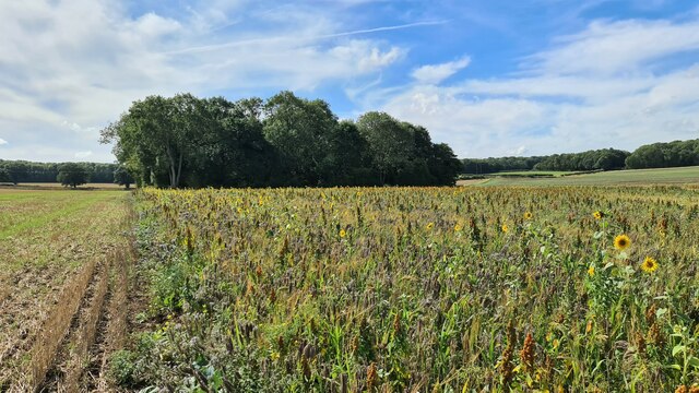
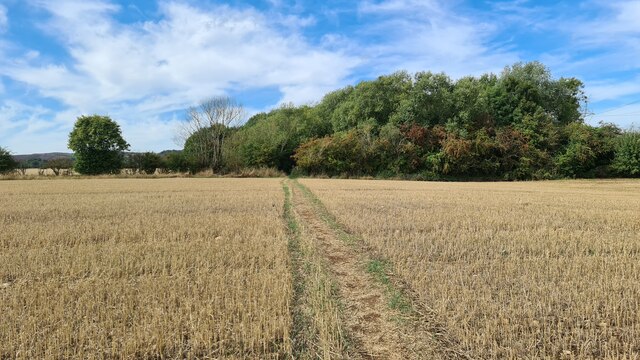
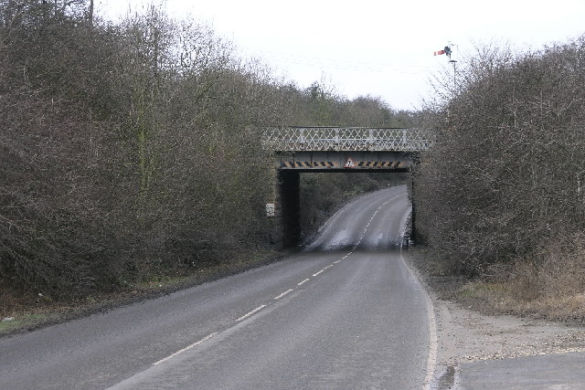
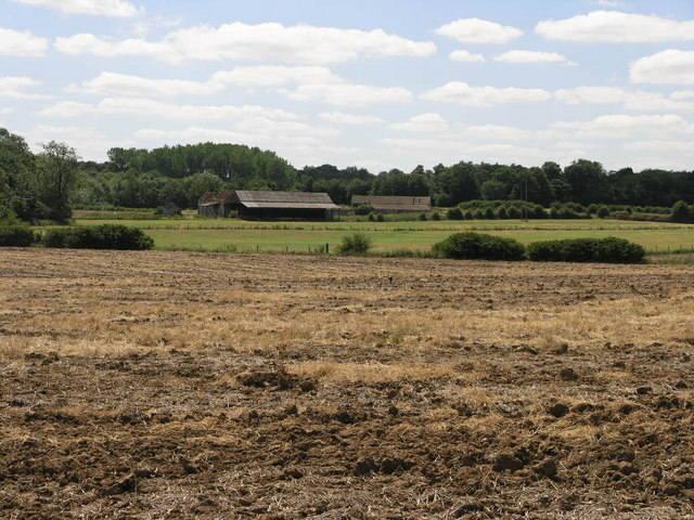
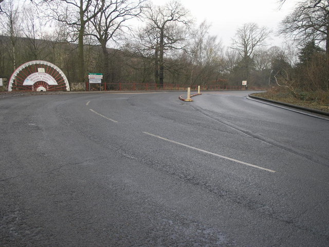
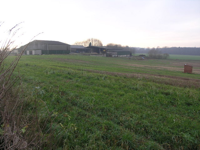
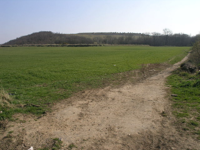
Maltby Far Common is a picturesque area located in Yorkshire, England. Situated on the eastern edge of the beautiful Yorkshire Downs, this region boasts a diverse landscape of rolling hills, expansive moorland, and charming countryside. Spanning over several square miles, Maltby Far Common is a haven for nature enthusiasts and those seeking a tranquil escape from city life.
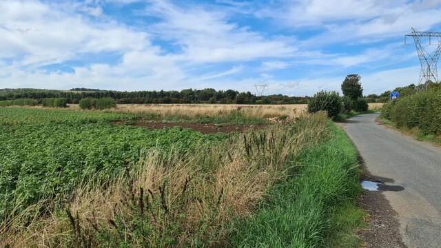
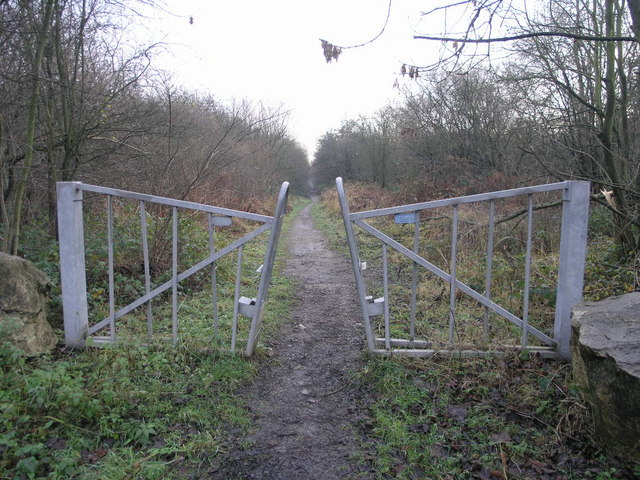
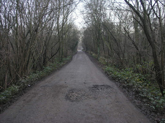
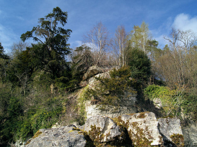
The area is known for its stunning natural beauty, with lush green meadows stretching as far as the eye can see. The Yorkshire Downs provide a striking backdrop, offering panoramic views of the surrounding countryside. The moorland is characterized by its wild, rugged terrain, dotted with heather and bracken, making it a popular spot for hikers and walkers.
Maltby Far Common is also home to a variety of wildlife, including birds of prey, such as kestrels and buzzards, as well as smaller creatures like rabbits and foxes. It is not uncommon to spot deer grazing in the fields or hear the calls of various bird species echoing through the air.
For those interested in history, the area has a rich heritage, with evidence of ancient settlements and archaeological sites. The remnants of old stone walls and ancient burial mounds can still be seen, offering a glimpse into the past.
Overall, Maltby Far Common offers a unique blend of natural beauty and historical significance, making it an ideal destination for outdoor enthusiasts and history buffs alike. Whether you're seeking a peaceful countryside retreat or an adventurous trek through the moorland, this area has something to offer everyone.
If you have any feedback on the listing, please let us know in the comments section below.
Maltby Far Common Images
Images are sourced within 2km of 53.418979/-1.1709536 or Grid Reference SK5591. Thanks to Geograph Open Source API. All images are credited.
Maltby Far Common is located at Grid Ref: SK5591 (Lat: 53.418979, Lng: -1.1709536)
Division: West Riding
Unitary Authority: Rotherham
Police Authority: South Yorkshire
What 3 Words
///passively.pointed.buying. Near Stainton, South Yorkshire
Nearby Locations
Related Wikis

Maltby railway station
Maltby railway station was located on the South Yorkshire Joint Railway (SYJR) on the eastern edge of Maltby, South Yorkshire, England. It opened 1910...

ROF Maltby
ROF Maltby was a Royal Ordnance Factory rifle manufacturing plant near Maltby, South Yorkshire which manufactured weapons such as the Lee–Enfield rifle...
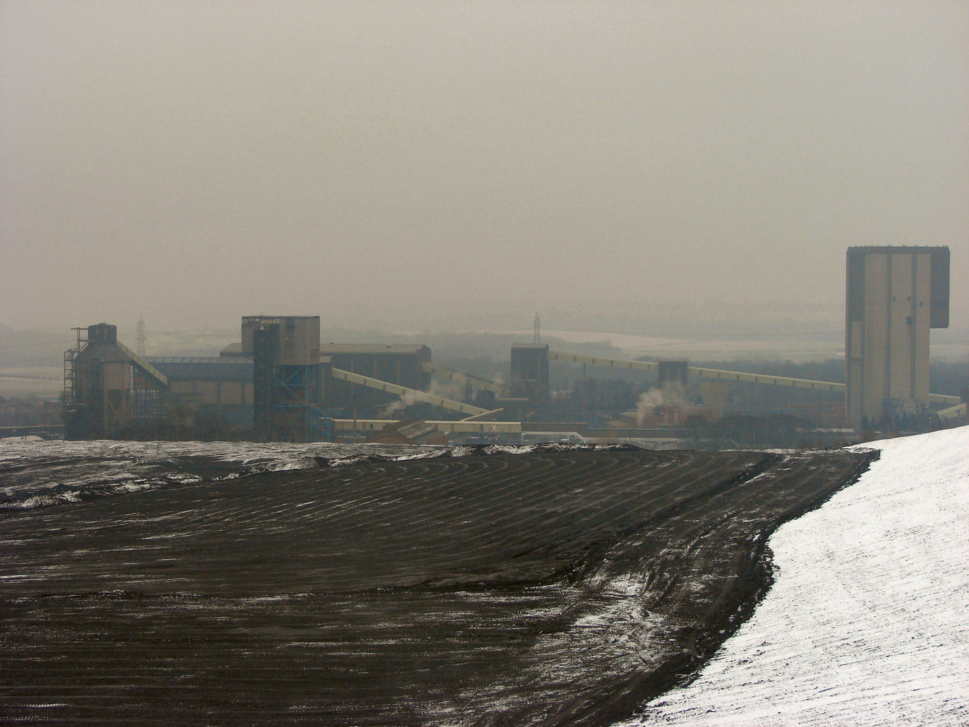
Maltby Main Colliery
The Maltby Main Colliery was a coal mine located 7 miles (11 km) east of Rotherham on the eastern edge of Maltby, South Yorkshire, England. The mine was...
Maltby Main F.C.
Maltby Main Football Club is a football club based in Maltby, Rotherham, South Yorkshire. They are currently members of the Northern Counties East League...

Stone, South Yorkshire
Stone is a hamlet in the civil parish of Maltby, in the Rotherham district lying to the south of Rotherham, South Yorkshire, England. Roche Abbey stands...

Stainton, South Yorkshire
Stainton is a village and civil parish in the Metropolitan Borough of Doncaster in South Yorkshire, England. The parish has a population of 269, increasing...

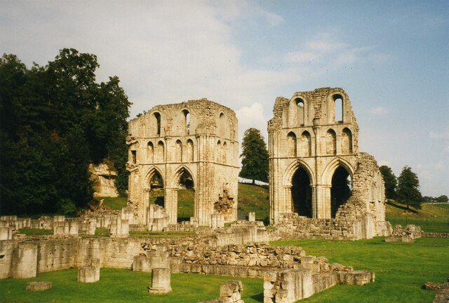
Roche Abbey
Roche Abbey is a now-ruined abbey in the civil parish of Maltby, Rotherham, South Yorkshire, England. It is in the valley of Maltby Dyke, known locally...
Maltby Academy
Maltby Academy is an academy school in the former mining town of Maltby in South Yorkshire, England. == Admissions == The school has a sixth form. The...
Nearby Amenities
Located within 500m of 53.418979,-1.1709536Have you been to Maltby Far Common?
Leave your review of Maltby Far Common below (or comments, questions and feedback).