Pill Heath

Downs, Moorland in Hampshire Test Valley

England

Pill Heath

Leyswood, Wildhern, Hampshire House, once a row of 3. Originally a 3-bay timber frame of c1600, with cladding and extension of the late C18. Flint and thatch. 1 storey and attic, 4 above 6 windows. ½-hipped roof with exposed frame (C17 at the south C18 at the north) in the gables, eaves raised above dormers and lowered above a C20 open shallow porch. Horizontal flint panels, brick quoins, bands, cambered arches, plinth (indicating altered doorways). Casements. Plain door.

(Source:Historic England)
Leyswood, Wildhern, Hampshire Credit: Oswald Bertram

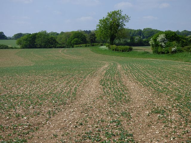
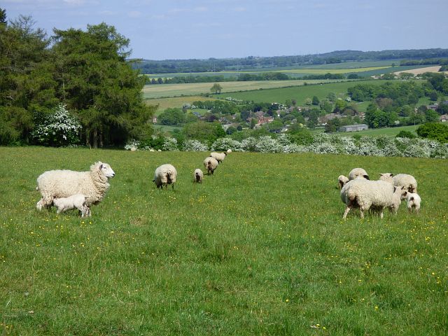
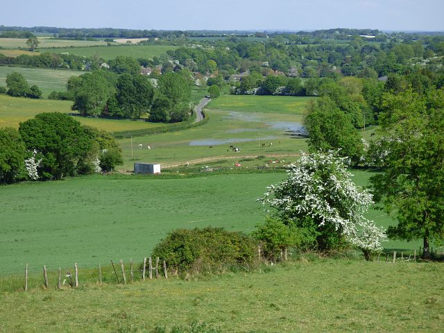
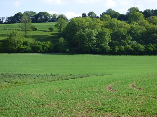
Pill Heath is a picturesque area located in Hampshire, England, renowned for its stunning downs and expansive moorland. Situated in the southern region of the country, Pill Heath is known for its natural beauty and tranquil surroundings.

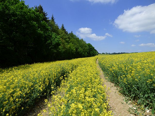
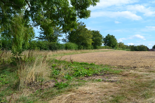
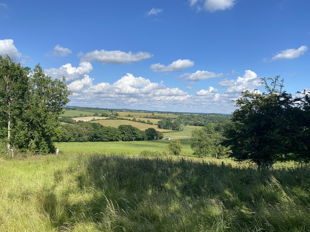
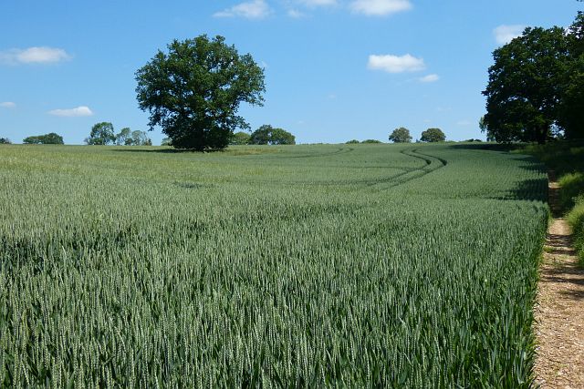
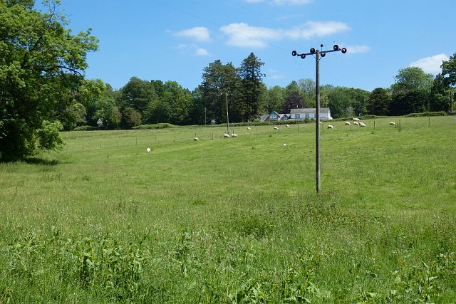
The downs of Pill Heath offer visitors breathtaking views of the surrounding countryside. With rolling hills covered in lush green grass and dotted with wildflowers, the downs are a haven for hikers, nature enthusiasts, and those seeking a peaceful retreat. The area is home to a variety of wildlife, including birds of prey, deer, and rabbits, making it a popular destination for birdwatching and wildlife spotting.

Adjacent to the downs, Pill Heath boasts vast moorland, characterized by its open, flat terrain and heather-covered landscapes. The moorland provides a unique habitat for a diverse range of plant and animal species, including rare orchids and reptiles. This makes it a prime location for nature lovers and botanists alike.

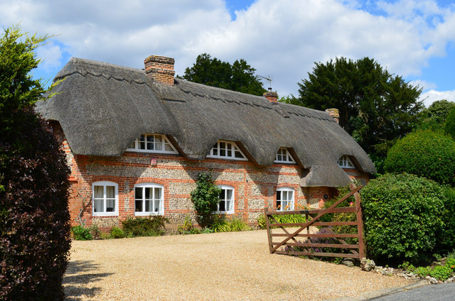
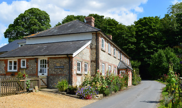
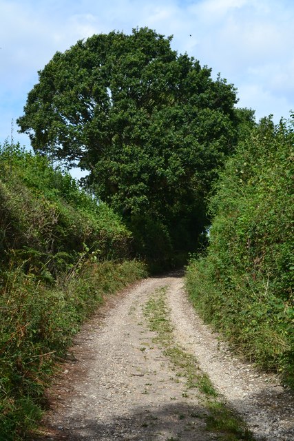
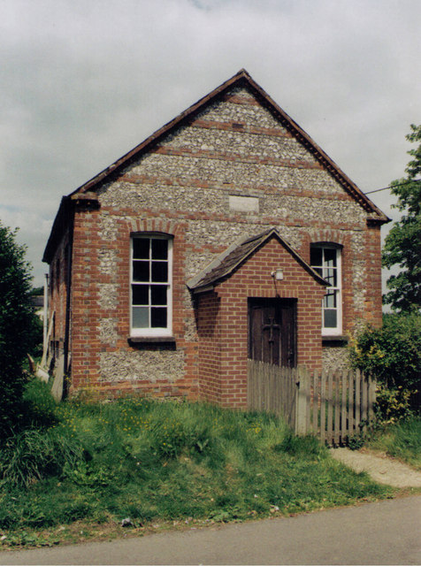
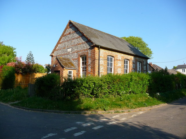
Pill Heath also offers a range of recreational activities. The downs and moorland provide ample opportunities for walking, cycling, and horse riding, with numerous trails and paths to explore. Additionally, the area is home to several quaint villages and country pubs, providing visitors with the chance to experience traditional English charm and hospitality.

In summary, Pill Heath in Hampshire is a captivating area that combines stunning downs, vast moorland, and a range of outdoor activities. With its natural beauty, diverse wildlife, and peaceful atmosphere, it is an ideal destination for anyone seeking an escape into nature.

If you have any feedback on the listing, please let us know in the comments section below.
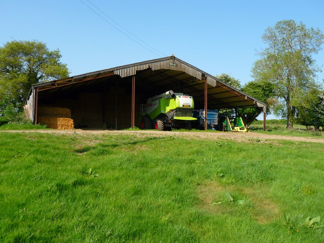
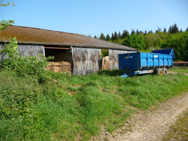
Pill Heath Images

Images are sourced within 2km of 51.273231/-1.4923851 or Grid Reference SU3552. Thanks to Geograph Open Source API. All images are credited.

Leyswood, Wildhern, Hampshire House, once a row of 3. Originally a 3-bay timber frame of c1600, with cladding and extension of the late C18. Flint and thatch. 1 storey and attic, 4 above 6 windows. ½-hipped roof with exposed frame (C17 at the south C18 at the north) in the gables, eaves raised above dormers and lowered above a C20 open shallow porch. Horizontal flint panels, brick quoins, bands, cambered arches, plinth (indicating altered doorways). Casements. Plain door.

(Source:Historic England)
Leyswood, Wildhern, Hampshire
House, once a row of 3. Originally a 3-bay timber frame of c1600, with cladding and extension of the late C18. Flint and thatch. 1 storey and attic, 4 above 6 windows. ½-hipped roof with exposed frame (C17 at the south C18 at the north) in the gables, eaves raised above dormers and lowered above a C20 open shallow porch. Horizontal flint panels, brick quoins, bands, cambered arches, plinth (indicating altered doorways). Casements. Plain door. (Source:Historic England)
Country lane, Tangley, Hampshire
Old Milestone by the A343, Bourne Park, Hurstbourne Tarrant parish Carved stone post by the A343, in parish of HURSTBOURNE TARRANT (TEST VALLEY District), Bourne Park, on grass verge in front of woodland, on West side of road. Newbury waist, erected by the Andover & Chilton Pond turnpike trust in the 19th century. 

Inscription reads:-
: NEWBURY / 12 : : SARUM / 21 : : OXFORD / 38 : : ANDOVER / 4 :
Carved benchmark on front lower.  

Milestone Society National ID: HA_NEAN12.
Old Milestone by the A343, Bourne Park, Hurstbourne Tarrant parish
Carved stone post by the A343, in parish of HURSTBOURNE TARRANT (TEST VALLEY District), Bourne Park, on grass verge in front of woodland, on West side of road. Newbury waist, erected by the Andover & Chilton Pond turnpike trust in the 19th century. Inscription reads:- : NEWBURY / 12 : : SARUM / 21 : : OXFORD / 38 : : ANDOVER / 4 : Carved benchmark on front lower. Milestone Society National ID: HA_NEAN12.
Farmland, Hurstbourne Tarrant Oil-seed rape and the eastern edge of Blagden Copse.
Farmland, Hurstbourne Tarrant
Oil-seed rape and the eastern edge of Blagden Copse.
Farmland, Tangley A crop of beans to the north-east of Wildhern.
Farmland, Tangley
A crop of beans to the north-east of Wildhern.
Pasture, Hurstbourne Tarrant Ewes and lambs beside Locke's Drove with Ibthorpe in the valley below.
Pasture, Hurstbourne Tarrant
Ewes and lambs beside Locke's Drove with Ibthorpe in the valley below.
Farmland, Hurstbourne Tarrant Below are Ibthorpe and the River Swift in a stretch where it lacks a defined channel.
Farmland, Hurstbourne Tarrant
Below are Ibthorpe and the River Swift in a stretch where it lacks a defined channel.
Farmland, Hurstbourne Tarrant Spring-sown cereal to the west of Rushmore Farm.
Farmland, Hurstbourne Tarrant
Spring-sown cereal to the west of Rushmore Farm.
Field beside Wildhern Lane
White Hill Track following the line of a Roman road.
White Hill
Track following the line of a Roman road.
Old signpost at Pill Heath It is interesting to note that some of the mileages are shown to the nearest eighth.
Old signpost at Pill Heath
It is interesting to note that some of the mileages are shown to the nearest eighth.
View down Upton/ Bourne Valley Disused shed just to the left off-camera. Looking down to Ibthorpe
The photo was taken from path that was applied to be a restricted Byway
View down Upton/ Bourne Valley
Disused shed just to the left off-camera. Looking down to Ibthorpe The photo was taken from path that was applied to be a restricted Byway
Farmland, Tangley An oak standing in wheat to the south of Tangley Farm.
Farmland, Tangley
An oak standing in wheat to the south of Tangley Farm.
Pasture, Tangley Sheep grazing below one of the houses on Holt Lane.
Pasture, Tangley
Sheep grazing below one of the houses on Holt Lane.
Wildhern Methodist Chapel Erected in 1818.  The chapel looks disused.
Wildhern Methodist Chapel
Erected in 1818. The chapel looks disused.
Wildhern - Methodist Chapel This Primitive Methodist Chapel was built in 1880.
Wildhern - Methodist Chapel
This Primitive Methodist Chapel was built in 1880.
Wildhern - Doles Farm A large barn at Doles Farm
Wildhern - Doles Farm
A large barn at Doles Farm
Wildhern - Doles Farm A barn just off the footpath at Doles Farm.
Wildhern - Doles Farm
A barn just off the footpath at Doles Farm.
Show me another place!

Pill Heath is located at Grid Ref: SU3552 (Lat: 51.273231, Lng: -1.4923851)

Administrative County: Hampshire

District: Test Valley

Police Authority: Hampshire

What 3 Words

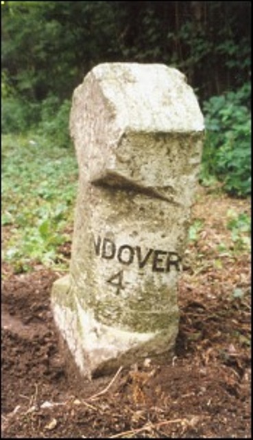
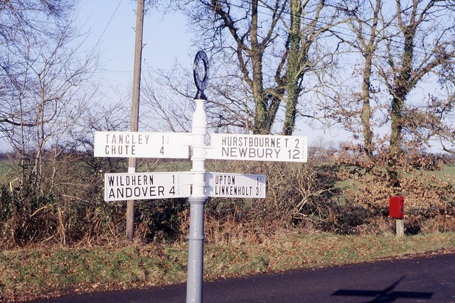
///reverses.rushed.wonderful. Near Andover, Hampshire

Nearby Locations

Pill Heath

Related Wikis

Pill Heath

Pill Heath is a hamlet in the civil parish of Tangley situated in the North Wessex Downs Area of Outstanding Natural Beauty in the Test Valley district...

Wildhern

Wildhern is a small village and civil parish in the Test Valley district of Hampshire, England. It is in the civil parish of Tangley. Its nearest town...

Rushmore and Conholt Downs

Rushmore and Conholt Downs is a 111.5-hectare (276-acre) biological Site of Special Scientific Interest north of Andover in Hampshire. It is a Nature Conservation...

Ibthorpe

Ibthorpe is a village in Hampshire, England. Ibthorpe is in the civil parish of Hurstbourne Tarrant. == Name == Ibthorpe is named after "Ibbaprop" which...

Upton, north Test Valley

Upton is a hamlet in Hampshire, located approximately 7 miles north of Andover. It has a population of approximately 250. The River Swift, a winterbourne...

Tangley

Tangley is a village in the English county of Hampshire. Tangley is situated north of the old market town of Andover and the village of Charlton, Hampshire...

Hatherden

Hatherden is a village and civil parish in the Test Valley district of Hampshire, England. Its nearest town is Andover, which lies approximately 3.3 miles...

Little Hatherden

Little Hatherden is a small village in the civil parish of Hatherden in the Test Valley district of Hampshire, England. It is in the civil parish of Tangley...

Nearby Amenities

Located within 500m of 51.273231,-1.4923851
Barrier: stile
Lat/Long: 51.2712062/-1.4914202
Post Box
Post Box Type: lamp
Ref: SP11 117
Royal Cypher: EIIR
Royal Cypher Wikidata: Q33102113
Lat/Long: 51.2736653/-1.4954736
Give Way
Source: Hampshire-Aerial-FCIR
Lat/Long: 51.2735123/-1.4955809
Give Way
Source: Hampshire-Aerial-FCIR
Lat/Long: 51.2725586/-1.4960693
Give Way
Source: Hampshire-Aerial-FCIR
Lat/Long: 51.2736105/-1.4954544
Pill Heath
Place: locality
Wikidata: Q7194097
Lat/Long: 51.2739168/-1.4903836
The data included in this document is from www.openstreetmap.org. The data is made available under ODbL.

Have you been to Pill Heath?

Leave your review of Pill Heath below (or comments, questions and feedback).