Tansley Moor

Downs, Moorland in Derbyshire Derbyshire Dales

England

Tansley Moor

Sandy Lane heading to Sandy Lane Farm
Sandy Lane heading to Sandy Lane Farm Credit: Neil Theasby

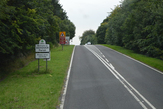
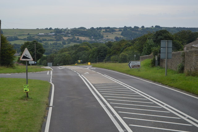
Tansley Moor is a picturesque area located in Derbyshire, England. Situated on the eastern edge of the Peak District National Park, it encompasses a diverse landscape of downs and moorland. Covering an area of approximately 2,000 acres, it is a popular destination for nature enthusiasts and hikers alike.

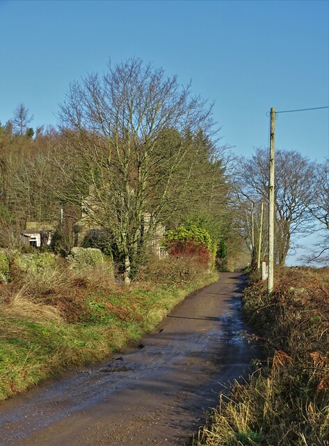
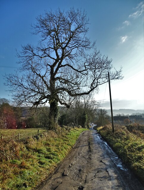
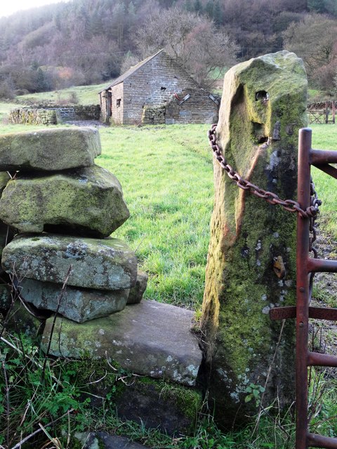
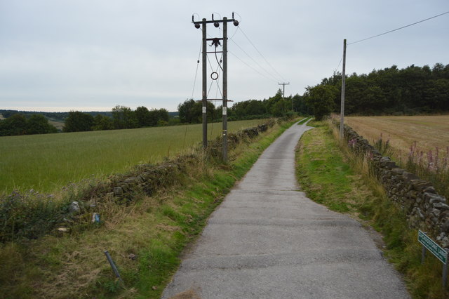
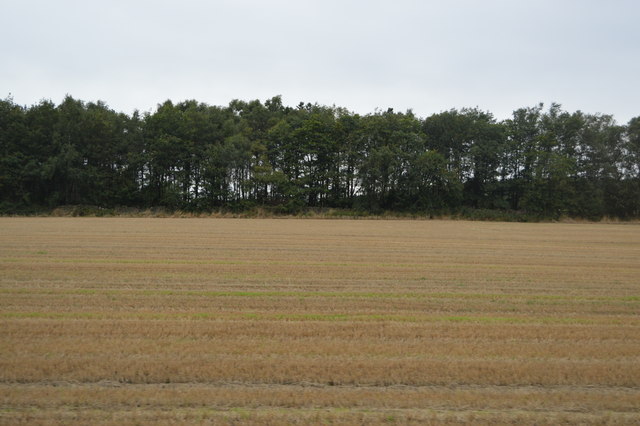
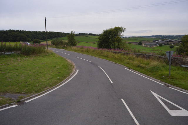
The moorland of Tansley Moor offers stunning panoramic views, with rolling hills and heather-clad slopes stretching as far as the eye can see. The landscape is dotted with rocky outcrops and scattered trees, adding to its natural beauty. The area is also home to a variety of wildlife, including birds, rabbits, and deer, making it a haven for birdwatchers and photographers.

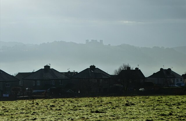
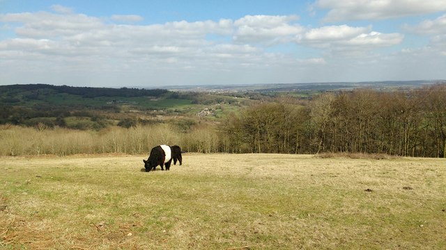
The Tansley Moor Downs, on the other hand, feature expansive grassy slopes that are perfect for grazing livestock. The fertile soil and ample rainfall contribute to the lush greenery that blankets the downs, creating a picturesque countryside scene. The area is often used for sheep farming, with flocks of sheep grazing peacefully on the hillsides.

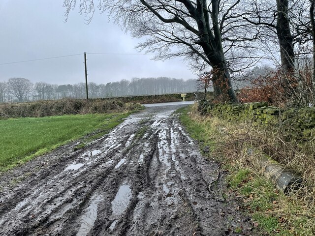
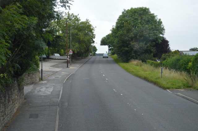
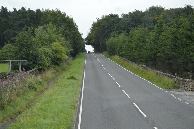
Tansley Moor offers a network of walking and hiking trails, allowing visitors to explore its natural wonders. The paths meander through the moorland and downs, providing opportunities for leisurely strolls or more challenging hikes. The area is also intersected by a few small streams, adding a soothing element to the surroundings.

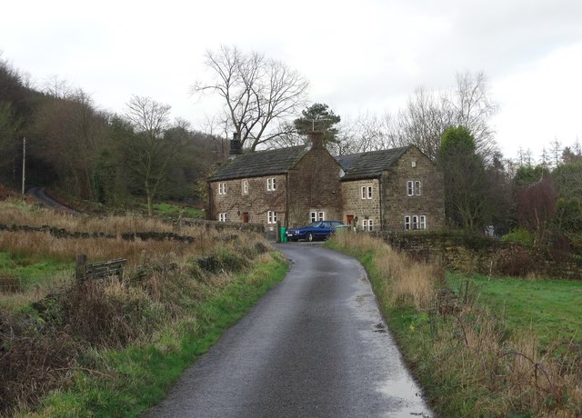
Overall, Tansley Moor in Derbyshire is a captivating destination that showcases the beauty of English countryside. It offers a peaceful retreat from the bustling city life, allowing visitors to immerse themselves in nature and enjoy the tranquility of the moorland and downs.

If you have any feedback on the listing, please let us know in the comments section below.
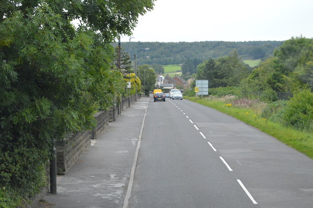
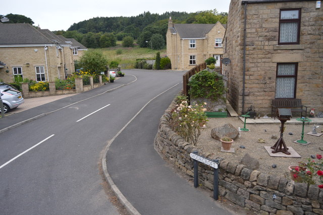
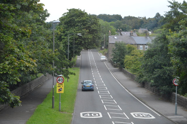
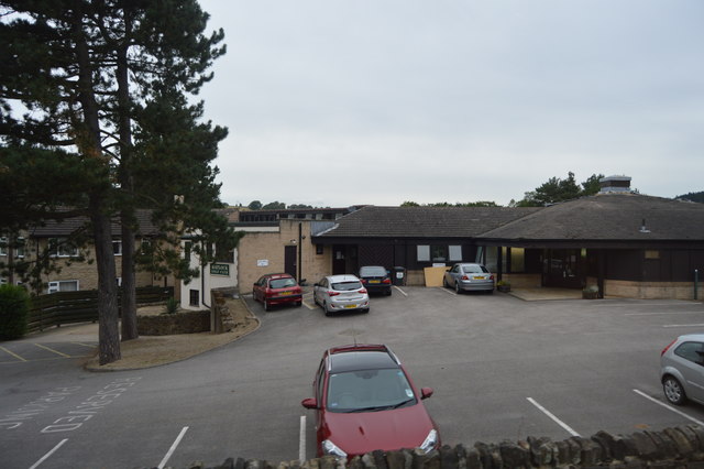
Tansley Moor Images

Images are sourced within 2km of 53.147764/-1.5128686 or Grid Reference SK3261. Thanks to Geograph Open Source API. All images are credited.

Sandy Lane heading to Sandy Lane Farm
View to Riber Castle Over the rooftops of Gritstone Road. Riber Castle can be seen through misty air as a high pressure weather system settles over England.
View to Riber Castle
Over the rooftops of Gritstone Road. Riber Castle can be seen through misty air as a high pressure weather system settles over England.
Sandy Lane heading to Chesterfield Road The surface of this lane is dreadful. Speaking from personal experience, it is inadvisable to drive low-slung saloon cars along it.
Sandy Lane heading to Chesterfield Road
The surface of this lane is dreadful. Speaking from personal experience, it is inadvisable to drive low-slung saloon cars along it.
Looking across Lant Lane to the woodland of Lant Lodges
View to an old farm building at Greenend
On Gin Lane near Goss Hall
Galloway cattle in a field above Ravensnest Wood
Chesterfield Rd The A632 is a non-primary A-road connecting the Peak District with the Dukeries. It runs 22 miles from Matlock to Cuckney, via Chesterfield.
<span class="nowrap"><a title="http://www.sabre-roads.org.uk/wiki/index.php?title=A632" rel="nofollow ugc noopener" href="http://www.sabre-roads.org.uk/wiki/index.php?title=A632">Link</a><img style="margin-left:2px;" alt="External link" title="External link - shift click to open in new window" src="https://s1.geograph.org.uk/img/external.png" width="10" height="10"/></span>
Chesterfield Rd
The A632 is a non-primary A-road connecting the Peak District with the Dukeries. It runs 22 miles from Matlock to Cuckney, via Chesterfield. LinkExternal link
Moorcroft
Moorcroft
Chesterfield Rd The A632 is a non-primary A-road connecting the Peak District with the Dukeries. It runs 22 miles from Matlock to Cuckney, via Chesterfield.
<span class="nowrap"><a title="http://www.sabre-roads.org.uk/wiki/index.php?title=A632" rel="nofollow ugc noopener" href="http://www.sabre-roads.org.uk/wiki/index.php?title=A632">Link</a><img style="margin-left:2px;" alt="External link" title="External link - shift click to open in new window" src="https://s1.geograph.org.uk/img/external.png" width="10" height="10"/></span>
Chesterfield Rd
The A632 is a non-primary A-road connecting the Peak District with the Dukeries. It runs 22 miles from Matlock to Cuckney, via Chesterfield. LinkExternal link
Matlock Golf Club
Matlock Golf Club
Cuckoostone Lane
Cuckoostone Lane
Field by Chesterfield Rd
Chesterfield Rd The A632 is a non-primary A-road connecting the Peak District with the Dukeries. It runs 22 miles from Matlock to Cuckney, via Chesterfield.
<span class="nowrap"><a title="http://www.sabre-roads.org.uk/wiki/index.php?title=A632" rel="nofollow ugc noopener" href="http://www.sabre-roads.org.uk/wiki/index.php?title=A632">Link</a><img style="margin-left:2px;" alt="External link" title="External link - shift click to open in new window" src="https://s1.geograph.org.uk/img/external.png" width="10" height="10"/></span>
Chesterfield Rd
The A632 is a non-primary A-road connecting the Peak District with the Dukeries. It runs 22 miles from Matlock to Cuckney, via Chesterfield. LinkExternal link
Welcome to Ashover The A632 is a non-primary A-road connecting the Peak District with the Dukeries. It runs 22 miles from Matlock to Cuckney, via Chesterfield.
<span class="nowrap"><a title="http://www.sabre-roads.org.uk/wiki/index.php?title=A632" rel="nofollow ugc noopener" href="http://www.sabre-roads.org.uk/wiki/index.php?title=A632">Link</a><img style="margin-left:2px;" alt="External link" title="External link - shift click to open in new window" src="https://s1.geograph.org.uk/img/external.png" width="10" height="10"/></span>
Welcome to Ashover
The A632 is a non-primary A-road connecting the Peak District with the Dukeries. It runs 22 miles from Matlock to Cuckney, via Chesterfield. LinkExternal link
A632, Amber Hill The A632 is a non-primary A-road connecting the Peak District with the Dukeries. It runs 22 miles from Matlock to Cuckney, via Chesterfield.
<span class="nowrap"><a title="http://www.sabre-roads.org.uk/wiki/index.php?title=A632" rel="nofollow ugc noopener" href="http://www.sabre-roads.org.uk/wiki/index.php?title=A632">Link</a><img style="margin-left:2px;" alt="External link" title="External link - shift click to open in new window" src="https://s1.geograph.org.uk/img/external.png" width="10" height="10"/></span>
A632, Amber Hill
The A632 is a non-primary A-road connecting the Peak District with the Dukeries. It runs 22 miles from Matlock to Cuckney, via Chesterfield. LinkExternal link
Wirestone Lane
Wirestone Lane
Show me another place!

Tansley Moor is located at Grid Ref: SK3261 (Lat: 53.147764, Lng: -1.5128686)

Administrative County: Derbyshire

District: Derbyshire Dales

Police Authority: Derbyshire

What 3 Words

///dime.comic.reduce. Near Tansley, Derbyshire

Nearby Locations

Tansley Moor

Related Wikis

Holy Trinity Church, Tansley

Holy Trinity Church, Tansley is a parish church in the Church of England in Tansley, Derbyshire. == History == The foundation stone was laid on 1 May 1839...

Bentley Brook

Bentley Brook is a stream in Derbyshire, England. It rises on Matlock Moor, flowing south through Cuckoostone Dale, under the A632, into Lumsdale, gathering...

Highfields School, Matlock

Highfields School is a coeducational secondary school and sixth form located in Matlock, Derbyshire, England. At the time of its September 2012 Ofsted...

Lumsdale Valley

Lumsdale Valley is a steep-sided wooded gorge in the Peak District near Matlock, Derbyshire, in England. It is the location of a series of historic water...

Nearby Amenities

Located within 500m of 53.147764,-1.5128686
Barrier: stile
Material: wood
Source: survey;gps
Stile: stepover
Lat/Long: 53.1501952/-1.5179781
Barrier: stile
Material: stone
Stile: stepover
Lat/Long: 53.1501361/-1.5181854
Barrier: stile
Steps: 1
Stile: wall
Lat/Long: 53.1461073/-1.5077668
Barrier: stile
Steps: 1
Stile: stepover
Lat/Long: 53.1461122/-1.5077449
Description: Fridge at farm that sells milk
Shop: milk
Lat/Long: 53.1475505/-1.5090454
Fixme: Looks like caravan site on Bing but needs survey to confirm.
Tourism: caravan_site
Lat/Long: 53.1482809/-1.5118888
The data included in this document is from www.openstreetmap.org. The data is made available under ODbL.

Have you been to Tansley Moor?

Leave your review of Tansley Moor below (or comments, questions and feedback).