Punch Bowl Coverts
Downs, Moorland in Yorkshire Harrogate
England
Punch Bowl Coverts
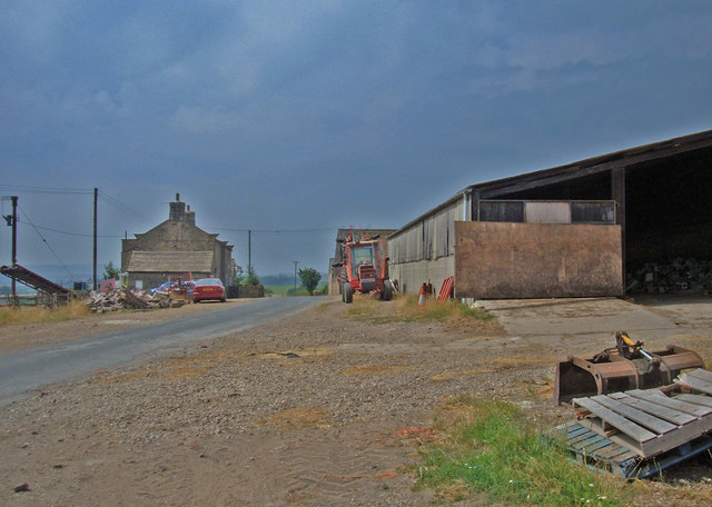
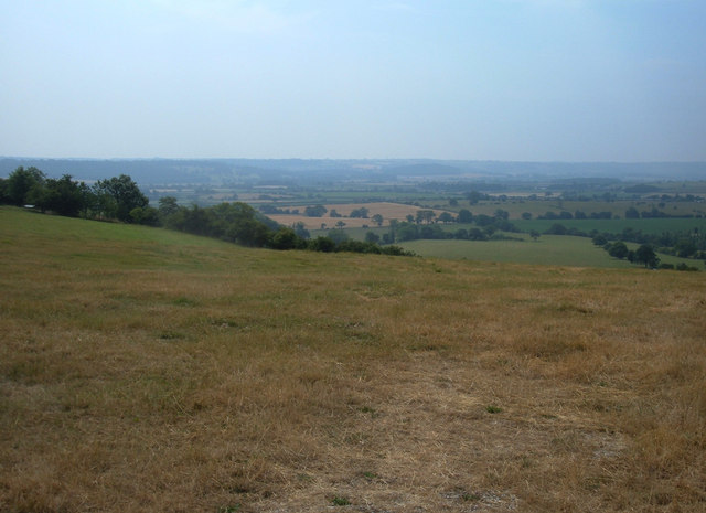
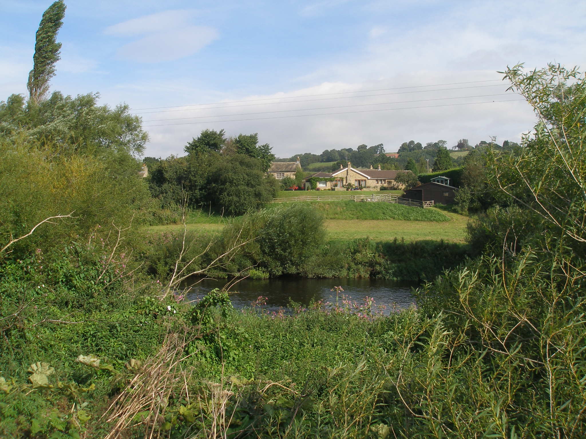
Punch Bowl Coverts, located in Yorkshire, England, is a picturesque area known for its stunning downs and moorland landscapes. Spanning over a vast expanse, this region offers a diverse range of natural features and habitats, making it a haven for wildlife enthusiasts and nature lovers alike.
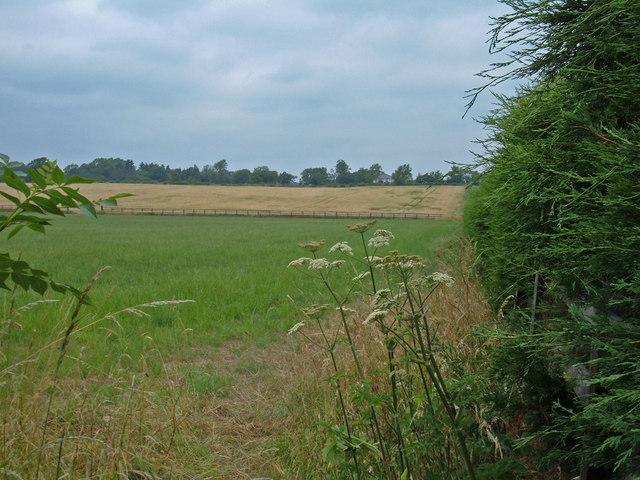
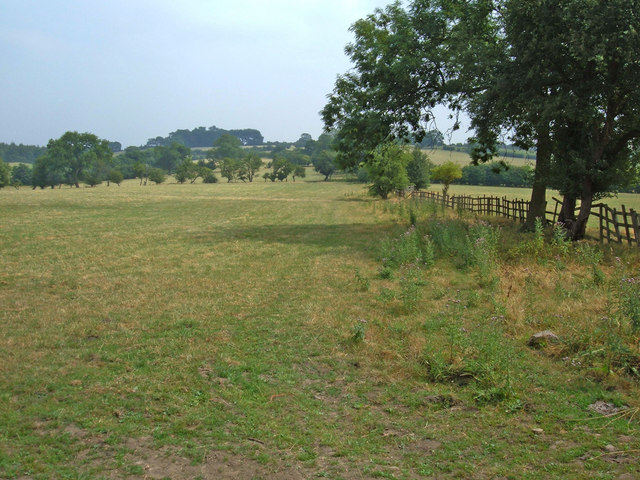
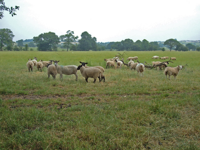
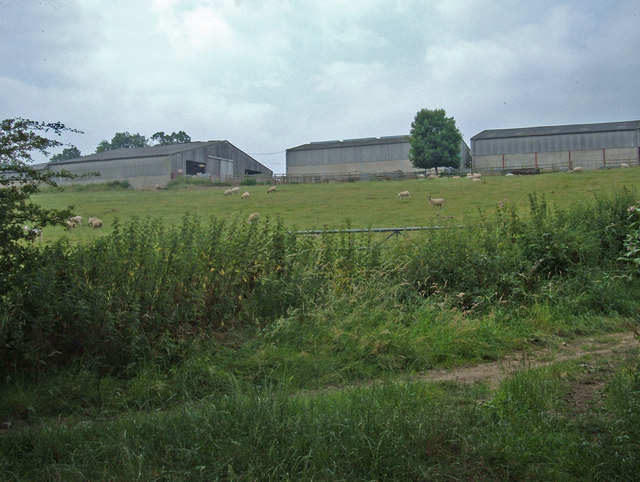
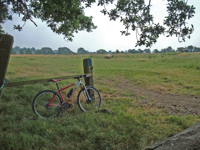
The downs of Punch Bowl Coverts are characterized by rolling hills and expansive grasslands. These areas are often covered in a tapestry of colorful wildflowers during the warmer months, creating a vibrant and picturesque scene. The downs also provide a habitat for various species of birds, including skylarks and lapwings, which can be seen soaring through the sky.
Moving towards the moorland areas, visitors are greeted with a rugged and untamed landscape. Moorland vegetation, such as heather and bracken, dominates the scenery, creating a rich tapestry of hues ranging from deep greens to vibrant purples. The moorland is also home to unique wildlife, including grouse, curlews, and rare species like the black grouse.
Punch Bowl Coverts is a popular destination for outdoor activities such as hiking and birdwatching. Numerous trails and paths crisscross the area, allowing visitors to explore the diverse landscapes and encounter the rich flora and fauna. The peaceful and tranquil atmosphere of the coverts offers a perfect escape from the hustle and bustle of daily life.
Overall, Punch Bowl Coverts in Yorkshire provides a captivating blend of downs and moorland scenery, showcasing the natural beauty and biodiversity of the region. Whether it's admiring the rolling hills or spotting rare bird species, visitors are sure to be enthralled by the charm and tranquility of this stunning location.
If you have any feedback on the listing, please let us know in the comments section below.
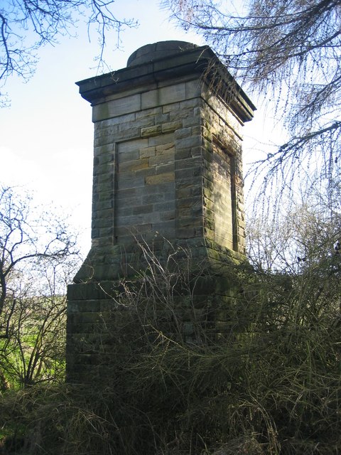
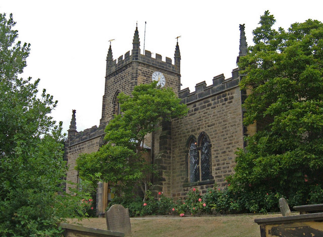
Punch Bowl Coverts Images
Images are sourced within 2km of 53.92828/-1.5051253 or Grid Reference SE3248. Thanks to Geograph Open Source API. All images are credited.


Punch Bowl Coverts is located at Grid Ref: SE3248 (Lat: 53.92828, Lng: -1.5051253)
Division: West Riding
Administrative County: North Yorkshire
District: Harrogate
Police Authority: North Yorkshire
What 3 Words
///besotted.fizzle.archduke. Near Pannal, North Yorkshire
Nearby Locations
Related Wikis

Kirkby Overblow
Kirkby Overblow is a village and civil parish in North Yorkshire, England. It is situated between Wetherby and Harrogate and lies to the west of Sicklinghall...
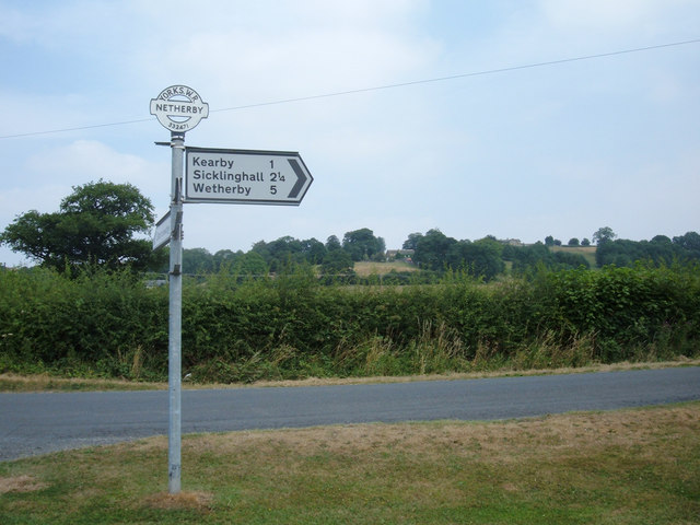
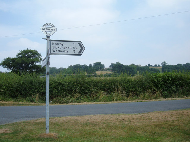
Kearby with Netherby
Kearby with Netherby is a civil parish in North Yorkshire, England. The parish includes the hamlets of Barrowby, Netherby and Kearby Town End. The parish...
Netherby, North Yorkshire
Netherby is a village in the Harrogate district of North Yorkshire, England.

Knight Air Flight 816
Knight Air Flight 816, being flown by G-OEAA, an Embraer 110 Bandeirante belonging to Knight Air, was an internal (domestic) scheduled flight operating...

Dunkeswick
Dunkeswick is a hamlet in the civil parish of Kirkby Overblow, in North Yorkshire, England, just north of the River Wharfe, off the A61, around a kilometre...

Harewood Castle
Harewood Castle is a 14th-century stone hall house and courtyard fortress, located on the Harewood Estate, Harewood, in West Yorkshire, England (Grid Reference...
Harewood speed Hillclimb
Harewood speed Hillclimb (the form with italics and a lower-case s is used officially) is a hillclimb near the village of Harewood, West Yorkshire, England...

Harewood, West Yorkshire
Harewood ( HAIR-wuud) is a village, civil parish, former manor and ecclesiastical parish, in West Yorkshire, England, today in the metropolitan borough...
Nearby Amenities
Located within 500m of 53.92828,-1.5051253Have you been to Punch Bowl Coverts?
Leave your review of Punch Bowl Coverts below (or comments, questions and feedback).