Roughs
Downs, Moorland in Lancashire Rossendale
England
Roughs
Roughs is a picturesque area located in the county of Lancashire, England. Situated amidst rolling downs and vast moorland, this region offers visitors a unique and stunning natural landscape.
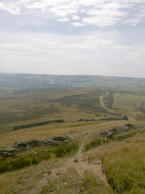
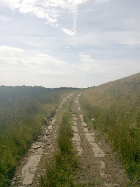
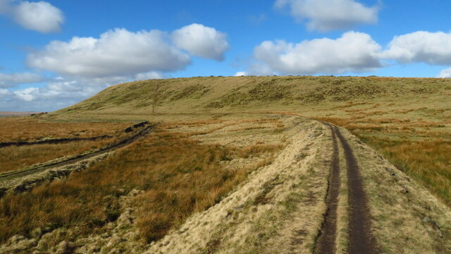
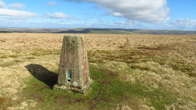
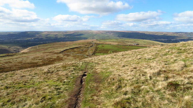
The downs of Roughs are characterized by their gentle slopes and lush greenery, providing an ideal setting for leisurely walks and picnics. The grassy hills offer breathtaking panoramic views of the surrounding countryside, making it a popular spot for nature enthusiasts and photographers alike. The area is also home to a diverse range of flora and fauna, including wildflowers, rabbits, and various bird species.
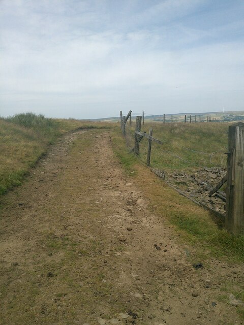
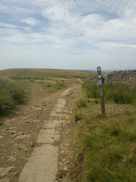
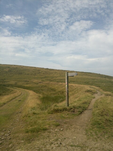
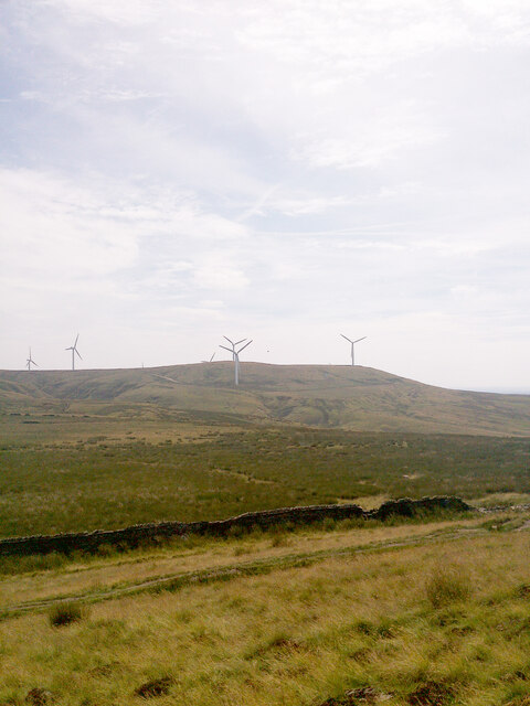
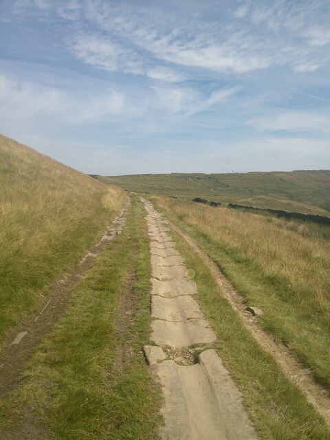
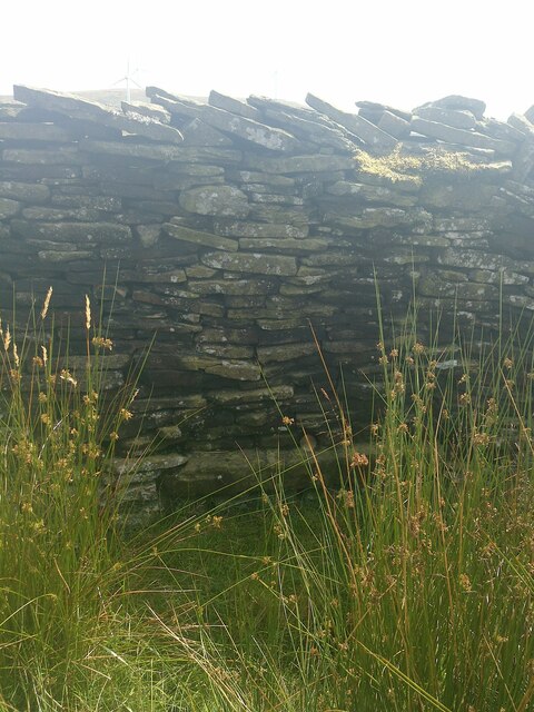
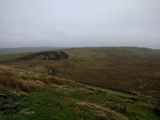
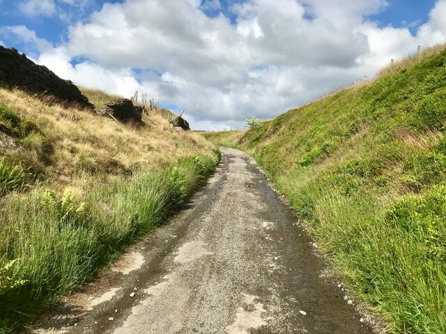
In contrast to the downs, the moorland of Roughs offers a more rugged and untamed experience. Here, visitors can explore the extensive heathland, characterized by its wide expanses of open space and sparse vegetation. The moorland is intersected by meandering streams and dotted with rocky outcrops, creating a dramatic and wild atmosphere. It is an ideal location for hikers and outdoor adventurers seeking a challenging and immersive experience.
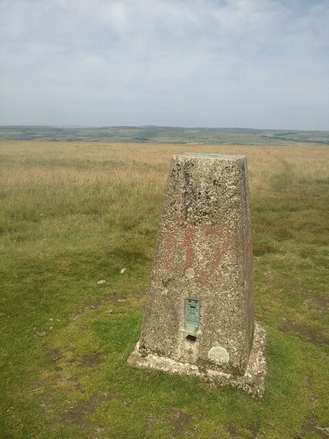
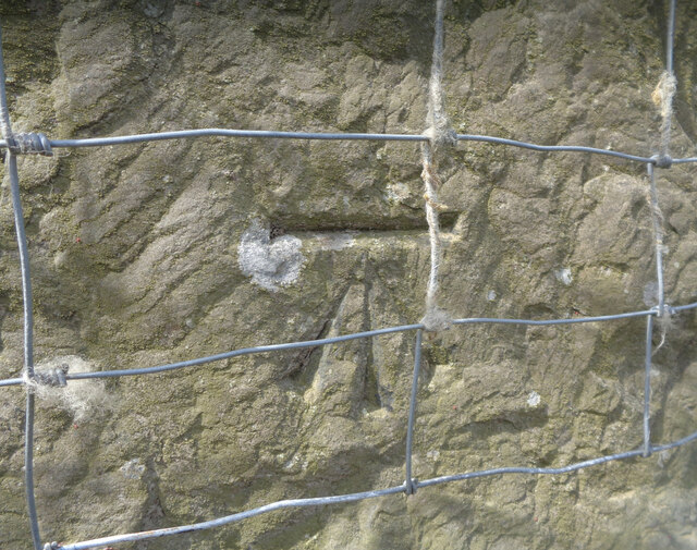
Roughs, Lancashire, is also home to a number of historic landmarks and cultural sites. The area boasts ancient stone circles and burial mounds, providing glimpses into its rich history. Additionally, there are several quaint villages nearby, offering visitors a chance to experience traditional English countryside life.
Overall, Roughs, Lancashire, offers a diverse range of natural landscapes, from the gentle downs to the wild moorland. With its stunning vistas, abundant wildlife, and historical significance, it is a must-visit destination for those seeking a true taste of rural England.
If you have any feedback on the listing, please let us know in the comments section below.
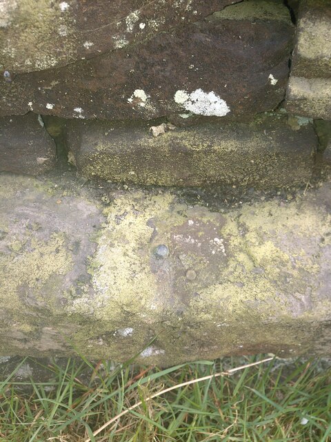
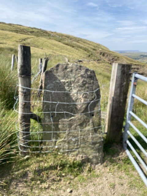
Roughs Images
Images are sourced within 2km of 53.670099/-2.2841216 or Grid Reference SD8119. Thanks to Geograph Open Source API. All images are credited.
Roughs is located at Grid Ref: SD8119 (Lat: 53.670099, Lng: -2.2841216)
Administrative County: Lancashire
District: Rossendale
Police Authority: Lancashire
What 3 Words
///gossip.final.flip. Near Edenfield, Lancashire
Nearby Locations
Related Wikis

Turn Village
Turn Village is a hamlet in the Rossendale borough of Lancashire, England. It is located in the South Pennines, on the A680 road between Edenfield and...

Edenfield
Edenfield is a village within the Rossendale borough of Lancashire, England. Lying on the River Irwell, it is around 1.25 miles (2.0 km) north of Ramsbottom...

Shuttleworth, Greater Manchester
Shuttleworth is a hamlet at the northeastern extremity of the Metropolitan Borough of Bury, in Greater Manchester, England. It lies amongst the South Pennines...

Irwell Valley
The Irwell Valley in North West England extends from the Forest of Rossendale through the cities of Salford and Manchester. The River Irwell runs through...
Nearby Amenities
Located within 500m of 53.670099,-2.2841216Have you been to Roughs?
Leave your review of Roughs below (or comments, questions and feedback).