Wife Park

Downs, Moorland in Yorkshire Craven

England

Wife Park

The Pennine Way near Fair Bottom Hill
The Pennine Way near Fair Bottom Hill Credit: Dave Kelly

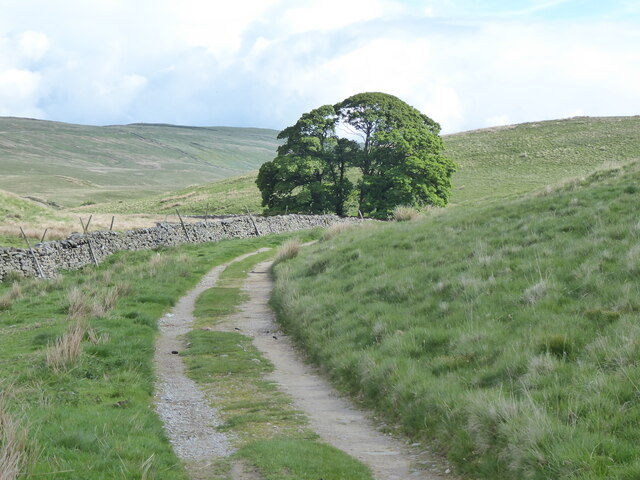
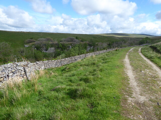
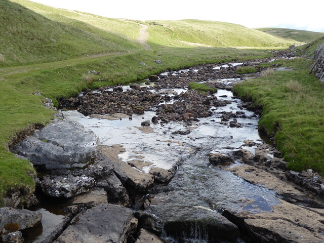
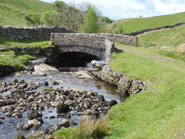
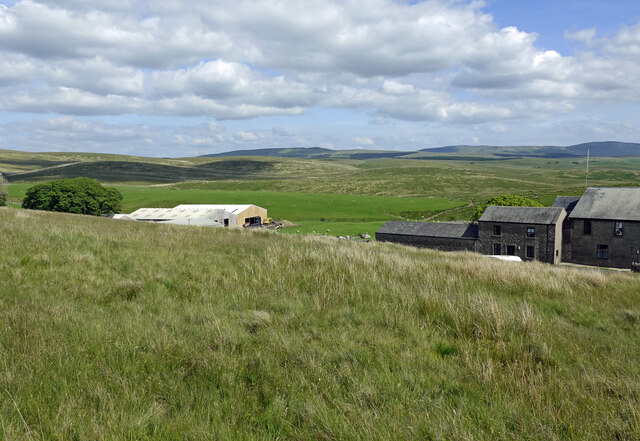
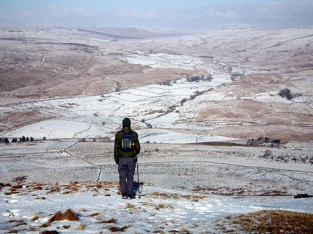
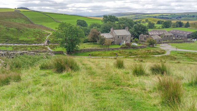
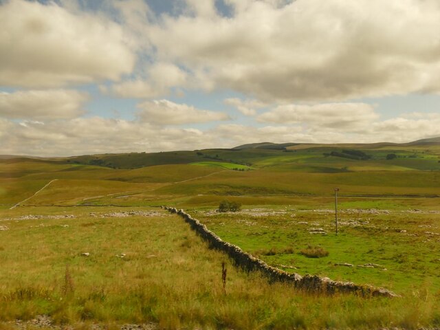
Wife Park, located in the scenic region of Yorkshire, England, is a captivating destination known for its picturesque landscape and natural beauty. Nestled amidst the rolling hills of the Yorkshire Downs and surrounded by vast stretches of moorland, this idyllic park offers visitors a unique experience in the heart of the countryside.

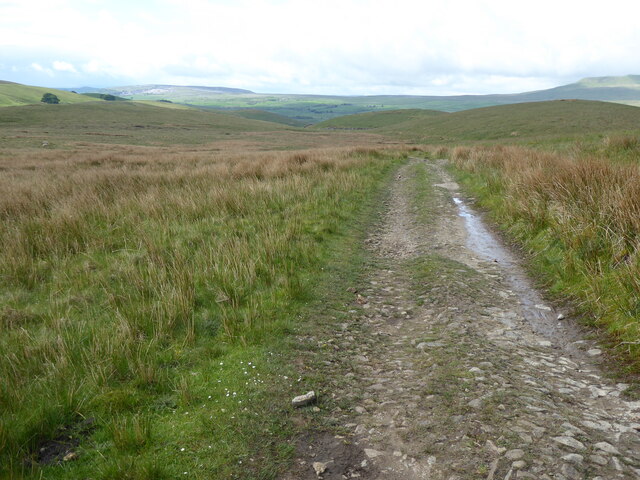
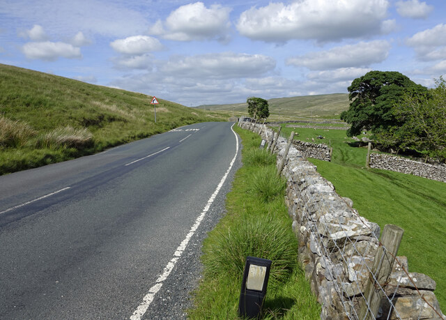
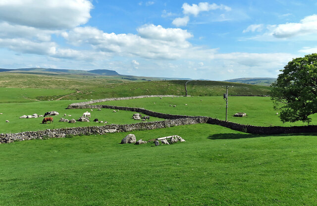
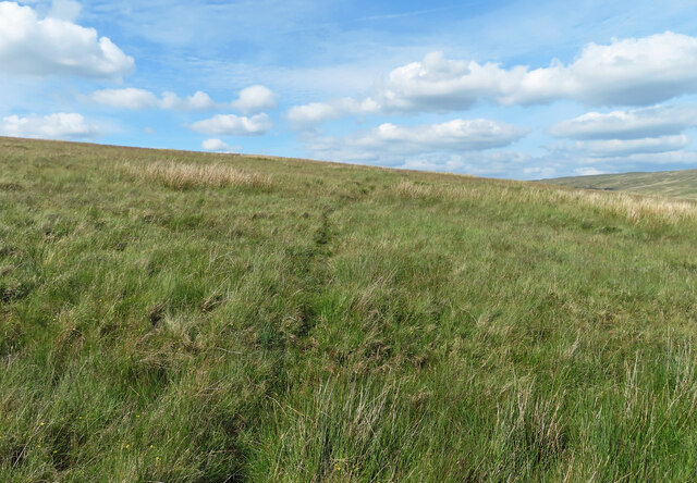
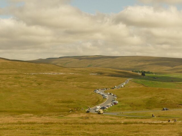
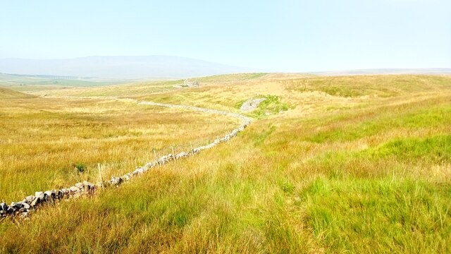
The park boasts an extensive network of well-maintained walking trails, which allow visitors to explore the diverse terrain and discover hidden gems along the way. Hikers can revel in the breathtaking views of the verdant valleys, meandering rivers, and expansive meadows that dot the landscape.

Wife Park is also home to a rich variety of wildlife, making it a haven for nature enthusiasts. Visitors can spot an array of bird species, including kestrels, lapwings, and curlews, as well as glimpses of elusive mammals such as hares and foxes. The park's moorland areas are particularly renowned for their vibrant displays of wildflowers, creating a kaleidoscope of colors during the spring and summer months.

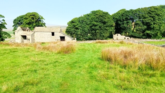
For those seeking a tranquil retreat, Wife Park offers several peaceful picnic spots and serene picnic areas where visitors can unwind and savor the captivating surroundings. Additionally, the park provides facilities such as visitor centers and information boards, ensuring that visitors have access to essential amenities and are well-informed about the park's history and conservation efforts.

Whether it's a leisurely stroll, an exploratory hike, or a peaceful picnic, Wife Park offers an enchanting escape into Yorkshire's natural wonders, making it a must-visit destination for nature lovers and outdoor enthusiasts alike.

If you have any feedback on the listing, please let us know in the comments section below.

Wife Park Images

Images are sourced within 2km of 54.202816/-2.3321778 or Grid Reference SD7878. Thanks to Geograph Open Source API. All images are credited.

The Pennine Way near Fair Bottom Hill
The Pennine Way near Ling Gill
The Pennine Way from Ling Gill Bridge
The Pennine Way at Ling Gill Bridge
The Pennine Way near New Head Hill
Passing Far Gearstones The B6255 climbs up the moor from Ribblehead before descending into Widdale.
Passing Far Gearstones
The B6255 climbs up the moor from Ribblehead before descending into Widdale.
At Far Gearstones Fields near the farm buildings, marked out by traditional dry-stone walls.
At Far Gearstones
Fields near the farm buildings, marked out by traditional dry-stone walls.
On Green Slack Hill A sort of a path on the moor near Gearstones.
On Green Slack Hill
A sort of a path on the moor near Gearstones.
From Green Slack Hill This view taken from the edge of the hill shows Far Gearstones on the left and Gearstones Lodge on the right.
From Green Slack Hill
This view taken from the edge of the hill shows Far Gearstones on the left and Gearstones Lodge on the right.
Old milestone The 13 mile section of the route from Burton in Lonsdale to the old West Riding/North Riding boundary was, prior to 1974, in the West Riding but is now  North Yorkshire.   The previous photograph of this stone at the entrance to Far Gearstones Farm <a href="https://www.geograph.org.uk/photo/6044877">SD7880 : Old Milestone by the B6255, Blea Moor Road, Ingleton Parish</a> was actually taken in April 2015 not as stated.   It has been painted since then but rust is once again showing through.   Grade II listed 1132231.
Old milestone
The 13 mile section of the route from Burton in Lonsdale to the old West Riding/North Riding boundary was, prior to 1974, in the West Riding but is now North Yorkshire. The previous photograph of this stone at the entrance to Far Gearstones Farm SD7880 : Old Milestone by the B6255, Blea Moor Road, Ingleton Parish was actually taken in April 2015 not as stated. It has been painted since then but rust is once again showing through. Grade II listed 1132231.
A view over the upper Ribble valley from Park Fell With the cottages at Gauber visible on the right.
A view over the upper Ribble valley from Park Fell
With the cottages at Gauber visible on the right.
Nether Lodge Ribblesdale Farm.
Nether Lodge
Ribblesdale Farm.
Dry stone wall at Selside Along with the limestone pavement from which the stone was presumably taken, this is typical Ribblesdale scenery.
Dry stone wall at Selside
Along with the limestone pavement from which the stone was presumably taken, this is typical Ribblesdale scenery.
Cars parked at Gearstones This road junction at Ribblehead is popular with both visitors to the famous viaduct, and longer distance walkers.
Cars parked at Gearstones
This road junction at Ribblehead is popular with both visitors to the famous viaduct, and longer distance walkers.
Thorns Old farm, now abandoned.
Thorns
Old farm, now abandoned.
Ribble Way Looking back in the direction of Whernside with a crumbling old lime kiln in the near distance on Thorns Moss.
Ribble Way
Looking back in the direction of Whernside with a crumbling old lime kiln in the near distance on Thorns Moss.
Viaduct walkers An official event allowing people to walk across Ribblehead Viaduct. Here people are awaiting their turn to do the walk. Walkers are seen across the viaduct. This was the last day of repairs to the viaduct and no trains were running.
Viaduct walkers
An official event allowing people to walk across Ribblehead Viaduct. Here people are awaiting their turn to do the walk. Walkers are seen across the viaduct. This was the last day of repairs to the viaduct and no trains were running.
God's Bridge on the Ribble Way near Selside From the cave entrance it is possible to see daylight from the far end.
God's Bridge on the Ribble Way near Selside
From the cave entrance it is possible to see daylight from the far end.
Show me another place!

Wife Park is located at Grid Ref: SD7878 (Lat: 54.202816, Lng: -2.3321778)

Division: West Riding

Administrative County: North Yorkshire

District: Craven

Police Authority: North Yorkshire

What 3 Words

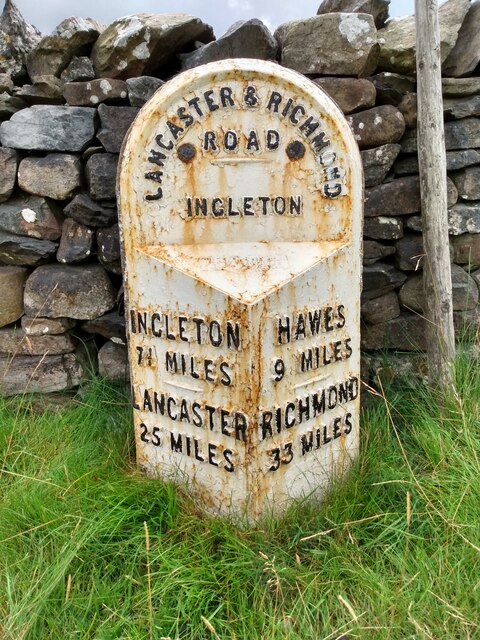
///irritate.roadshow.courier. Near Ingleton, North Yorkshire

Related Wikis

Ribblehead

Ribblehead is the area of moorland at the head of the River Ribble in the area known as Ribblesdale, in the Yorkshire Dales National Park, England. Ribblehead...
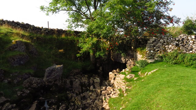
Ling Gill

Ling Gill is a gill (or narrow valley) in the Yorkshire Dales in North Yorkshire, England. Cam Beck, a tributary of the River Ribble, flows through the...

Ribblehead Quarry

Ribblehead Quarry is a former limestone quarry next to Ribblehead railway station in the Yorkshire Dales National Park, North Yorkshire, England. It had...

Ribblehead railway station

Ribblehead is a railway station on the Settle and Carlisle Line, which runs between Carlisle and Leeds via Settle. The station, situated 52 miles 17 chains...

High Birkwith

High Birkwith is a hamlet in the Craven district of North Yorkshire, England. It is located north of the village of Horton in Ribblesdale and in the same...
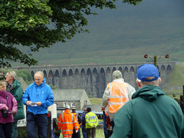
Ribblehead Viaduct

The Ribblehead Viaduct or Batty Moss Viaduct carries the Settle–Carlisle railway across Batty Moss in the Ribble Valley at Ribblehead, in North Yorkshire...

Selside, North Yorkshire

Selside is a small village in Ribblesdale in North Yorkshire, England. It lies 2 miles (3 km) north west of Horton in Ribblesdale. Selside was mentioned...

Alum Pot

Alum Pot is a pothole with a large open shaft at a surface elevation of 343 metres (1,125 ft) on the eastern flanks of Simon Fell, North Yorkshire, England...

Nearby Amenities

Located within 500m of 54.202816,-2.3321778
Barrier: stile
Material: stone
Source: survey;gps
Stile: stepover
Lat/Long: 54.2046452/-2.3278803
Ashes Eller Bank
Ele: 282
Ele Ft: 925
Natural: peak
Source: OS 1:25k
Lat/Long: 54.2035229/-2.3396552
Pry Hill
Ele: 267
Ele Ft: 875
Natural: peak
Source: OS 1:25k
Lat/Long: 54.2013642/-2.3374665
Barrier: stile
Material: stone
Source: survey;gps
Stile: stepover
Lat/Long: 54.206244/-2.3319775
Barrier: entrance
Source: survey;gps
Lat/Long: 54.2061919/-2.3322799
pot-hole
Fixme: name? exact location needs checking
Source: OS 1851 Yorkshire sheet 97
Lat/Long: 54.2060119/-2.3287075
Hipping House
Archaeological Site: building
Description: Building extant here in mid-C19th.
Historic: archaeological_site
Source: OS sheet 96, publ. 1851
Lat/Long: 54.2050318/-2.3355796
Entrance: yes
Source: EsriWorldImageryClarity
Lat/Long: 54.2016204/-2.3346001
The data included in this document is from www.openstreetmap.org. The data is made available under ODbL.

Have you been to Wife Park?

Leave your review of Wife Park below (or comments, questions and feedback).