Ash Moss

Downs, Moorland in Cumberland Carlisle

England

Ash Moss

Bridleway in Dumblar Rigg Plantation Little-trodden by hoof or foot by the look of it.
Bridleway in Dumblar Rigg Plantation Credit: Karl and Ali

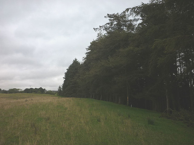
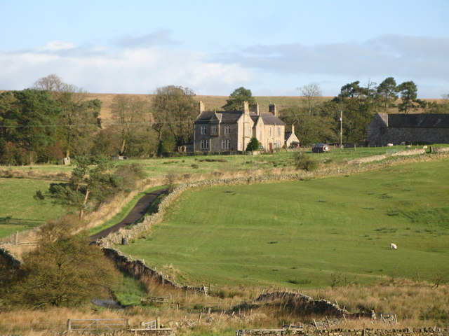
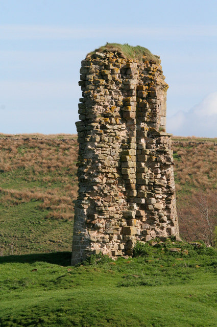
Ash Moss is a vast and picturesque area located in Cumberland, England. It encompasses various terrains, including downs, moorland, and marshes, making it a diverse and ecologically rich landscape. Covering a considerable expanse of land, Ash Moss is a popular destination for nature lovers, hikers, and wildlife enthusiasts.

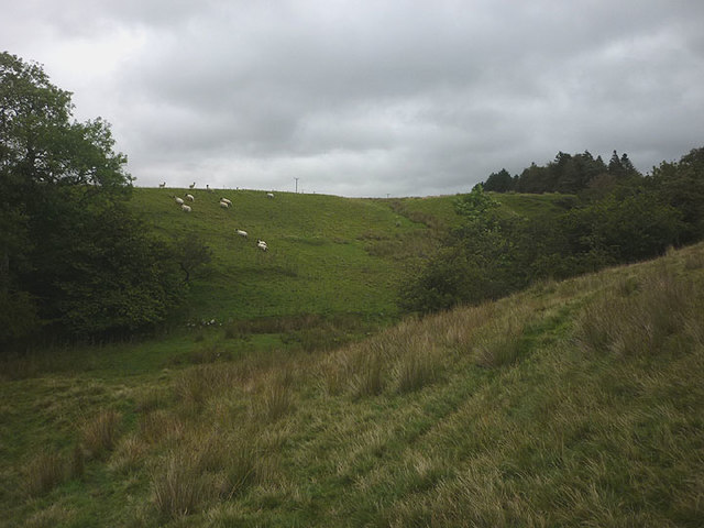
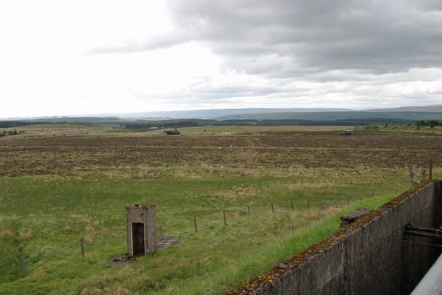
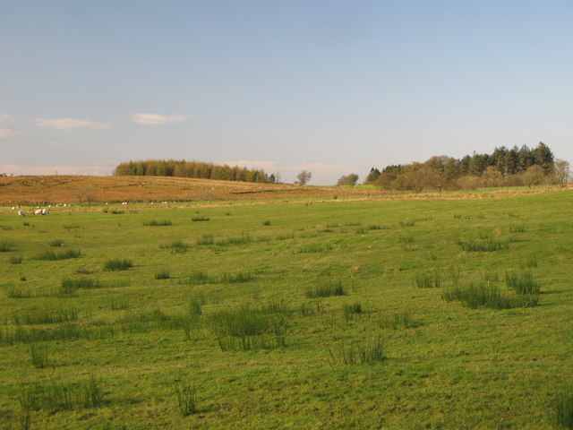
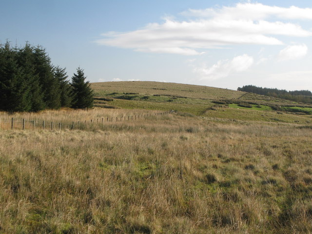
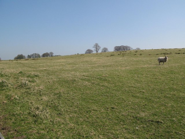
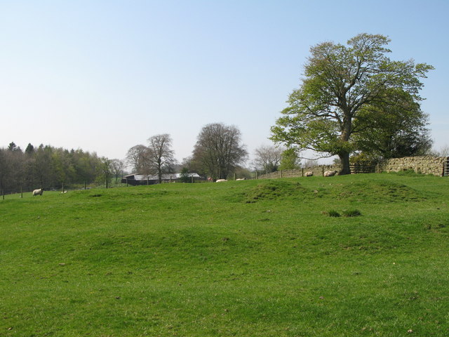
The downs in Ash Moss are characterized by their gently rolling hills, covered in lush green grasses and interspersed with patches of heather. These open spaces offer stunning panoramic views of the surrounding countryside, making it a haven for photography enthusiasts.

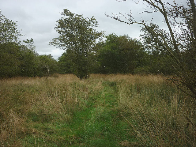
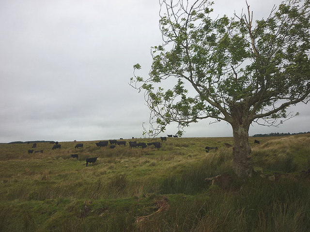
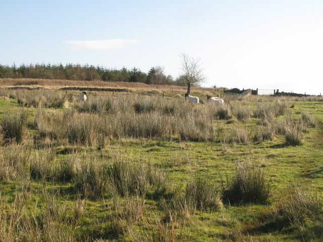
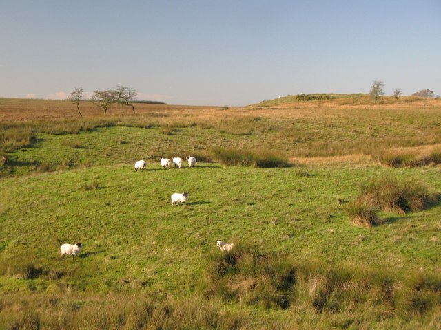
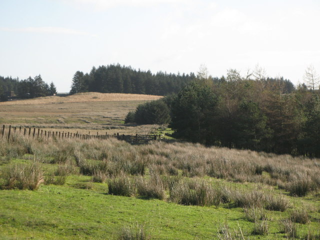
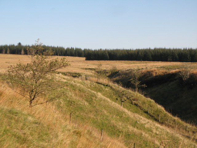
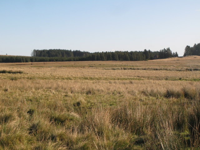
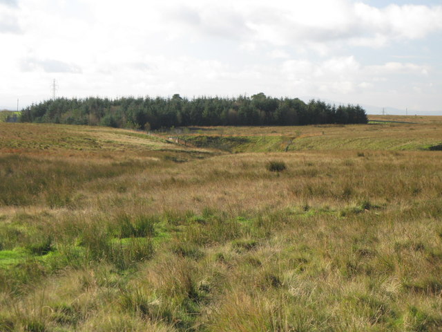
The moorland in Ash Moss is a unique feature that adds to the area's charm. This rugged and wild terrain is covered in heather, bracken, and scattered trees, creating a beautiful and untamed landscape. Moorland birds such as curlews and lapwings can often be spotted here, adding to the area's rich biodiversity.

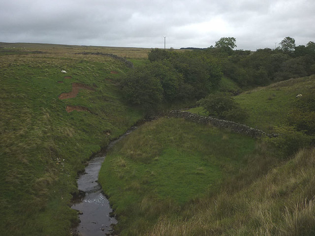
The marshes in Ash Moss are another significant feature, providing a habitat for a wide range of flora and fauna. These wetland areas are home to numerous species of water-loving plants, including reeds and sedges. They also attract a variety of bird species, such as herons and ducks, making it a prime spot for birdwatching.

Overall, Ash Moss in Cumberland offers a diverse and captivating natural environment, with its downs, moorland, and marshes providing a habitat for a wide array of plant and animal life. Whether visitors are seeking scenic views, wildlife encounters, or a peaceful retreat in nature, Ash Moss has something to offer for everyone.

If you have any feedback on the listing, please let us know in the comments section below.
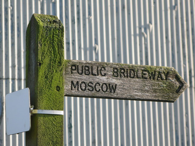
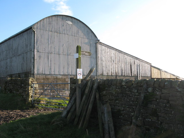
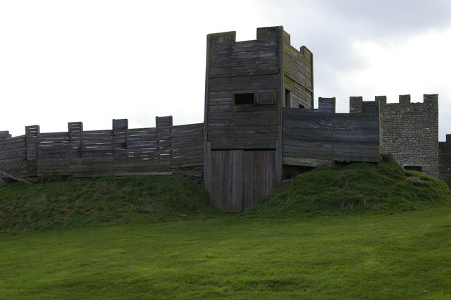
Ash Moss Images

Images are sourced within 2km of 55.020157/-2.6346637 or Grid Reference NY5969. Thanks to Geograph Open Source API. All images are credited.

Bridleway in Dumblar Rigg Plantation Little-trodden by hoof or foot by the look of it.
Bridleway in Dumblar Rigg Plantation
Little-trodden by hoof or foot by the look of it.
Green's Burn A moorland stream, tributary of Cam Beck which feeds into the River Irthing.
Green's Burn
A moorland stream, tributary of Cam Beck which feeds into the River Irthing.
The valley of Green's Burn Following the line of the invisible public footpath to a crossing of the burn in its lightly wooded valley.
The valley of Green's Burn
Following the line of the invisible public footpath to a crossing of the burn in its lightly wooded valley.
Path above Green's Burn The burn is shielded from view by a plantation of tall conifers.
Path above Green's Burn
The burn is shielded from view by a plantation of tall conifers.
Black Cattle on Ash Moss Rough grazing on the appropriately-named (the solitary tree is an ash) patch of moorland by Spadeadam Plantation.
Black Cattle on Ash Moss
Rough grazing on the appropriately-named (the solitary tree is an ash) patch of moorland by Spadeadam Plantation.
RAF Spadeadam These are the remains of the BOC liquid oxygen plant that produced fuel for the Blue Streak rockets assembled and tested here in the 1950/60s.
RAF Spadeadam
These are the remains of the BOC liquid oxygen plant that produced fuel for the Blue Streak rockets assembled and tested here in the 1950/60s.
RAF Spadeadam - Prior Lancy View roughly south west from the roof of the engine testing control bunker.
RAF Spadeadam - Prior Lancy
View roughly south west from the roof of the engine testing control bunker.
Spadeadam Farm
Spadeadam Farm
Public bridleway to Moscow This <a href="https://www.geograph.org.uk/photo/891635">NY6268 : Moscow</a>.
Public bridleway to Moscow
Barns at Spadeadam Farm Shows the location of <a href="https://www.geograph.org.uk/photo/2656060">NY5870 : Public bridleway to Moscow</a>.
Barns at Spadeadam Farm
Shows the location of NY5870 : Public bridleway to Moscow.
Rough pastures south of Spadeadam Farm
Rough pastures west of Spadeadam Plantation
Rough pastures west of Milking Hill
Ash Moss
Ash Moss
Rough pastures north of Dumblar Rigg Plantation
The cleugh of Trout Beck
Middle Shield Park (2)
Middle Shield Park and Dumblar Rigg Plantation
Show me another place!

Ash Moss is located at Grid Ref: NY5969 (Lat: 55.020157, Lng: -2.6346637)

Administrative County: Cumbria

District: Carlisle

Police Authority: Cumbria

What 3 Words

///socket.selection.plastic. Near Greenhead, Northumberland

Related Wikis

Nearby Amenities

Located within 500m of 55.020157,-2.6346637
Power: tower
Lat/Long: 55.0210415/-2.6305343
Power: pole
Lat/Long: 55.0208813/-2.6412377
Power: pole
Lat/Long: 55.0210049/-2.6398507
Power: pole
Lat/Long: 55.0211546/-2.638332
Power: pole
Lat/Long: 55.0212837/-2.6369282
Power: pole
Lat/Long: 55.0214031/-2.6355579
Power: pole
Lat/Long: 55.021638/-2.6341709
Power: pole
Lat/Long: 55.0218879/-2.6327743
Power: pole
Lat/Long: 55.0221268/-2.6313753
Power: pole
Lat/Long: 55.0223727/-2.6299668
Power: pole
Lat/Long: 55.0226089/-2.6285606
The data included in this document is from www.openstreetmap.org. The data is made available under ODbL.

Have you been to Ash Moss?

Leave your review of Ash Moss below (or comments, questions and feedback).