Sour Down
Downs, Moorland in Somerset Mendip
England
Sour Down
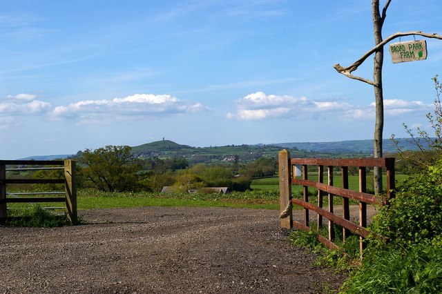
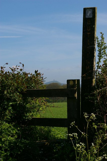
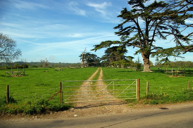
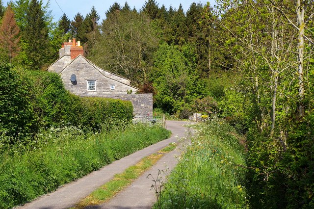
Sour Down is a picturesque area located in Somerset, England. Nestled amidst the rolling hills and moorlands, it offers breathtaking views and a tranquil atmosphere. The region is known for its rugged beauty and rich natural landscapes, making it a popular destination for nature enthusiasts and hikers.
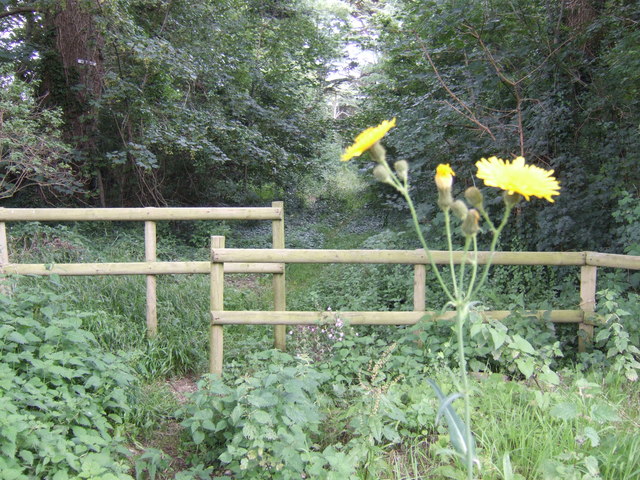
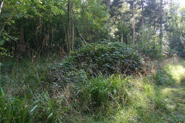
The Downs of Sour Down are characterized by their steep slopes and grassy plains, which are home to a variety of flora and fauna. The area is renowned for its diverse wildlife, including rare bird species and grazing animals such as wild ponies and deer. The moorland, on the other hand, is marked by its open expanses and heather-covered hills, creating a distinctive and striking landscape.
Visitors to Sour Down can enjoy a range of outdoor activities, such as hiking, cycling, and picnicking. The well-maintained trails and pathways offer opportunities for exploration, allowing visitors to immerse themselves in the natural beauty of the area. Additionally, the region is dotted with charming villages and historic sites, providing visitors with a glimpse into the local culture and heritage.
Sour Down is also known for its vibrant community, with residents who are proud of their surroundings and actively engage in the preservation of the area's natural beauty. The local authorities work tirelessly to maintain the ecological balance and protect the diverse wildlife that inhabits the region.
In conclusion, Sour Down, Somerset (Downs, Moorland) is a captivating destination that offers stunning landscapes, diverse wildlife, and a peaceful ambiance. Whether it's for a leisurely stroll or an immersive nature experience, visitors to Sour Down are sure to be captivated by its beauty and tranquility.
If you have any feedback on the listing, please let us know in the comments section below.
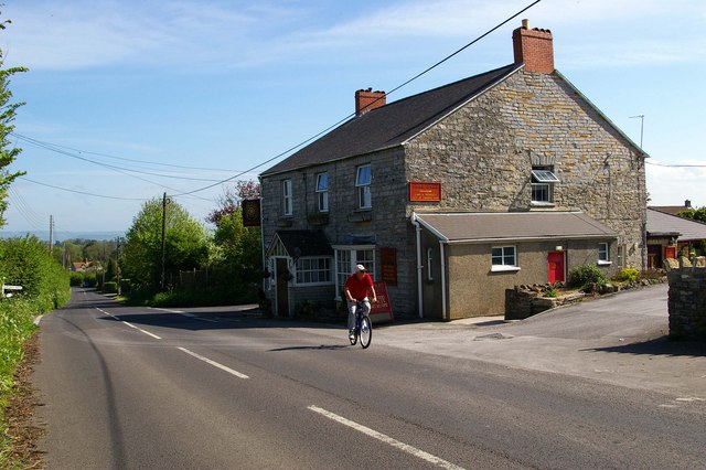
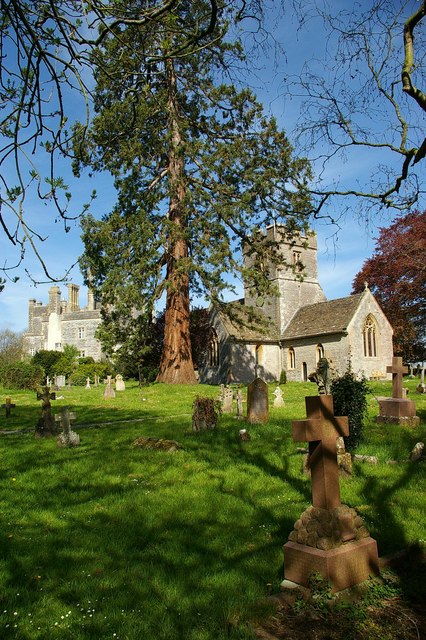
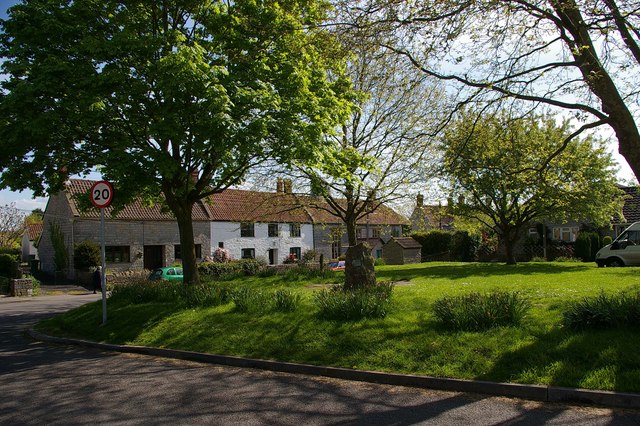
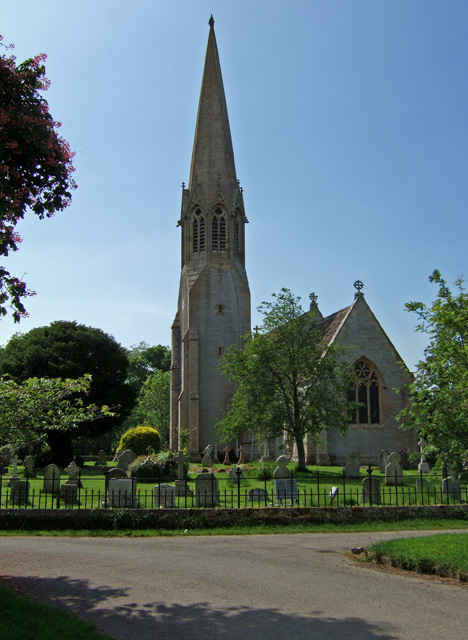
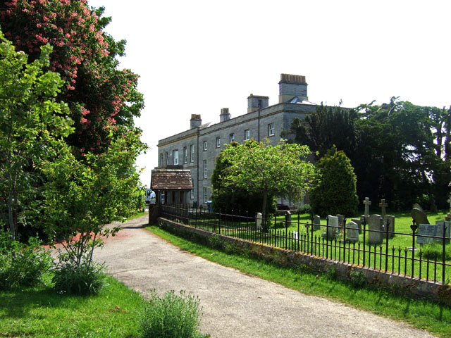
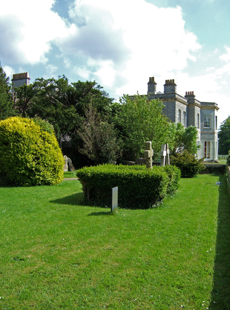
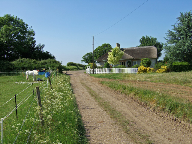
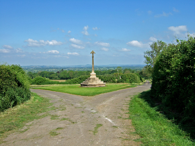
Sour Down Images
Images are sourced within 2km of 51.09004/-2.6951552 or Grid Reference ST5132. Thanks to Geograph Open Source API. All images are credited.


Sour Down is located at Grid Ref: ST5132 (Lat: 51.09004, Lng: -2.6951552)
Administrative County: Somerset
District: Mendip
Police Authority: Avon and Somerset
What 3 Words
///increment.tracks.plod. Near Street, Somerset
Nearby Locations
Related Wikis

New Ditch
New Ditch is a linear earthwork of possible Iron Age or Medieval construction. It partially crosses the Polden Hills in woodlands approximately 1.1 miles...
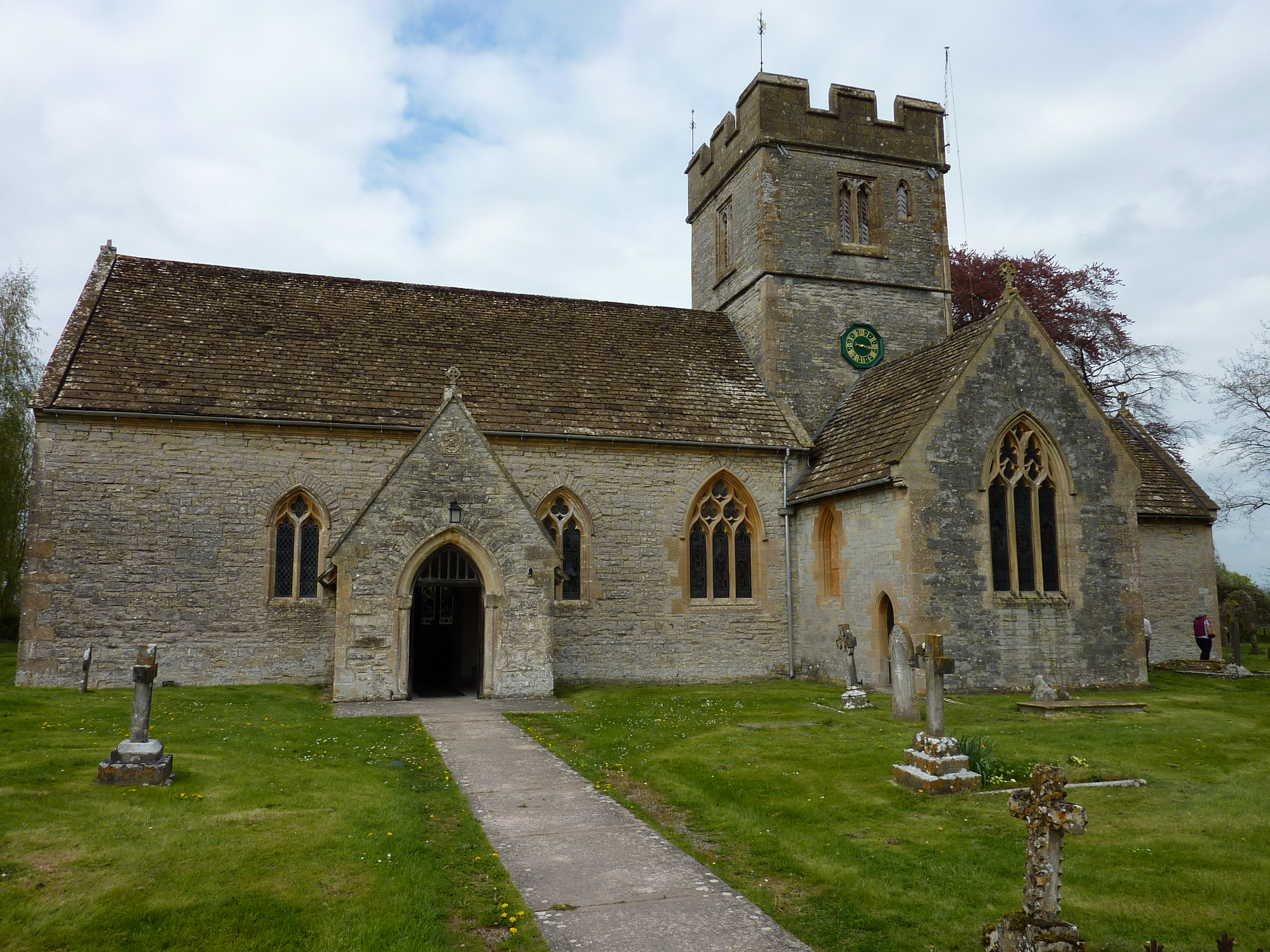
Church of St Leonard, Butleigh
The Anglican Church Of St Leonard in Butleigh, within the English county of Somerset, was built in the 14th century. It is a Grade II* listed building...

Great Breach and Copley Woods
Great Breach and Copley Woods (grid reference ST500320) is a 64.8 hectare (160 acre) biological Site of Special Scientific Interest 1 km south of Compton...

Butleigh
Butleigh is a small village and civil parish, located in Somerset. The nearest village to it is Barton St David, and it is located a short distance from...

Church of All Saints, Kingweston
The Anglican Church of All Saints in Kingweston, Somerset, England was rebuilt between 1852 and 1855 by Charles Edmund Giles. It is a Grade II* listed...
Kingweston
Kingweston is a village and civil parish in Somerset, England, situated on Combe Hill, 3 miles (4.8 km) north east of Somerton in the South Somerset district...
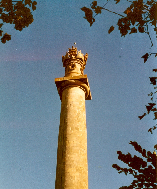
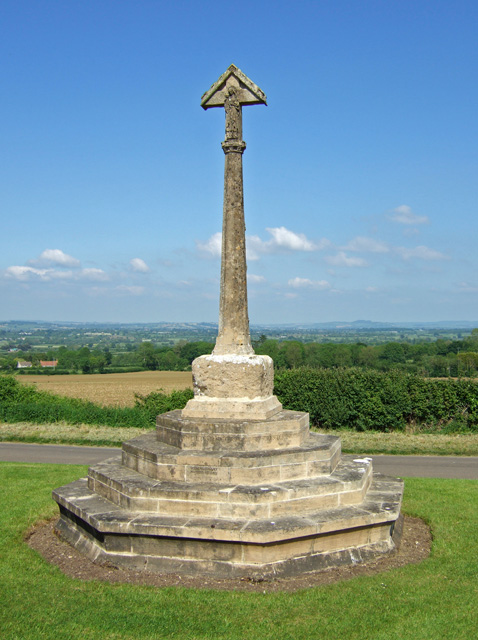
Admiral Hood Monument
The Admiral Hood Monument is a memorial column to Sir Samuel Hood on a hill near Butleigh in the parish of Compton Dundon, Somerset, England. It was completed...

Compton Dundon
Compton Dundon is a village and civil parish in Somerset, England, lying beside King's Sedgemoor and the Polden Hills, 5 miles (8 km) south of Glastonbury...
Have you been to Sour Down?
Leave your review of Sour Down below (or comments, questions and feedback).