Leasowe Common
Downs, Moorland in Cheshire
England
Leasowe Common
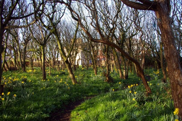
Leasowe Common is a 200-acre area located in Cheshire, England. It is a diverse landscape consisting of downs and moorland. The common is situated on the Wirral Peninsula, near the town of Leasowe. It is a popular destination for outdoor enthusiasts and nature lovers.
The downs at Leasowe Common are characterized by their gently rolling hills and wide-open spaces. The grassy slopes provide stunning panoramic views of the surrounding countryside. This area is home to a variety of plant species, including wildflowers such as heather, gorse, and orchids. The downs also provide a habitat for numerous bird species, making it an ideal spot for birdwatching.
The moorland section of Leasowe Common offers a stark contrast to the downs. It is characterized by its wild and rugged nature, with areas of heathland and peat bogs. This diverse landscape provides a habitat for various wildlife, including rabbits, foxes, and numerous bird species.
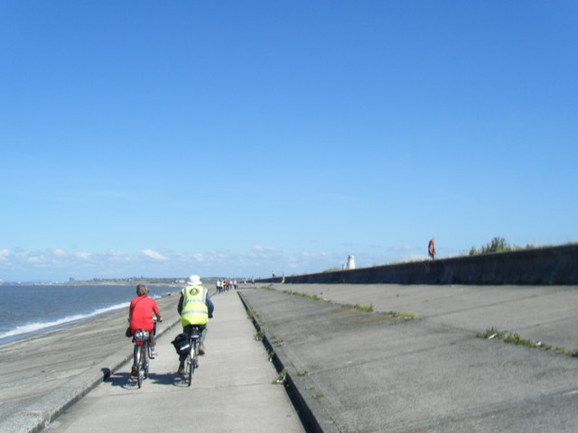
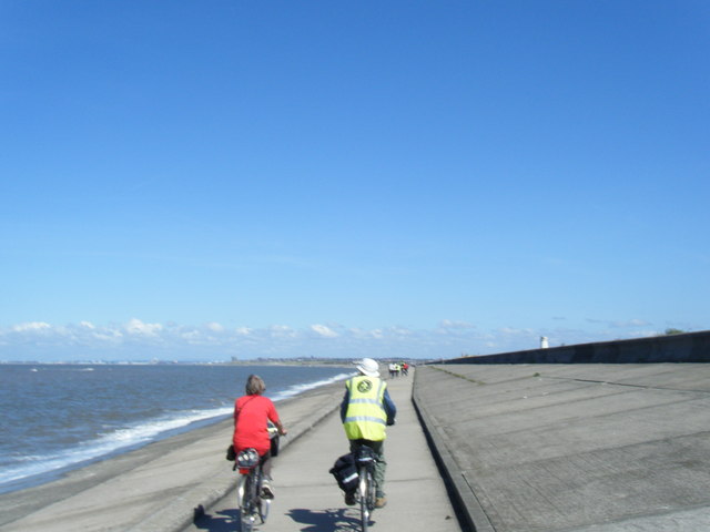
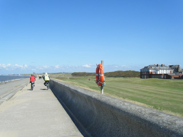
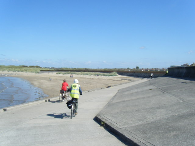
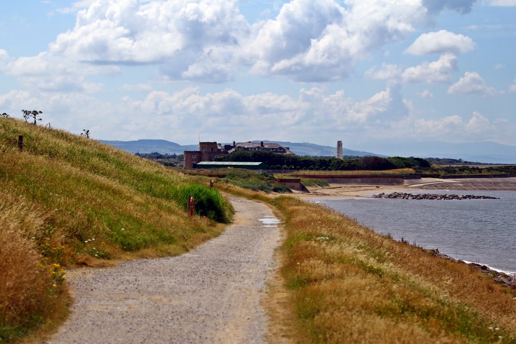
Leasowe Common is a designated Site of Special Scientific Interest (SSSI) due to its ecological importance. It is managed by the local authorities to preserve its unique biodiversity and natural beauty. The common is also a popular recreational area, with walking and cycling trails that allow visitors to explore the stunning scenery.
In addition to its natural beauty, Leasowe Common is historically significant. It is believed to be the site of a medieval hunting ground and has archaeological remains dating back thousands of years.
Overall, Leasowe Common offers a unique and diverse landscape, combining downs and moorland, making it a captivating destination for both nature enthusiasts and history buffs.
If you have any feedback on the listing, please let us know in the comments section below.
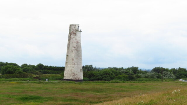
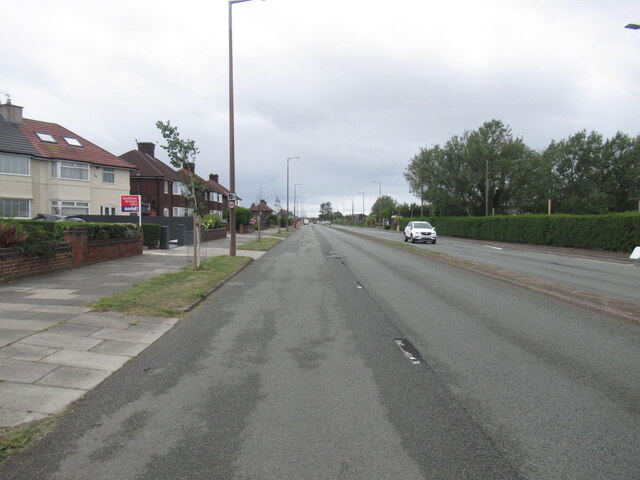
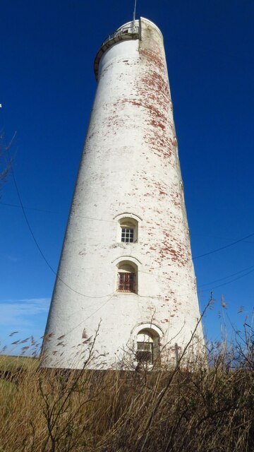
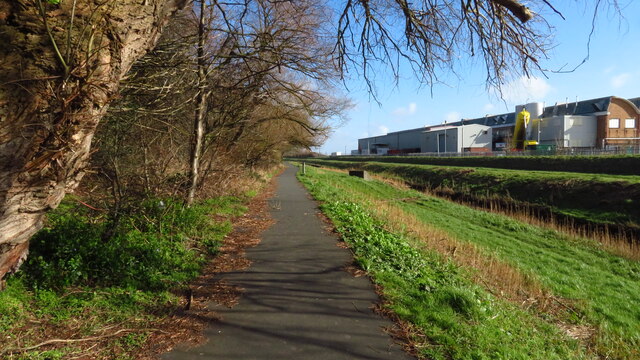
Leasowe Common Images
Images are sourced within 2km of 53.414963/-3.1201593 or Grid Reference SJ2591. Thanks to Geograph Open Source API. All images are credited.

Leasowe Common is located at Grid Ref: SJ2591 (Lat: 53.414963, Lng: -3.1201593)
Unitary Authority: Wirral
Police Authority: Merseyside
What 3 Words
///straw.share.enhancement. Near Moreton, Merseyside
Nearby Locations
Related Wikis

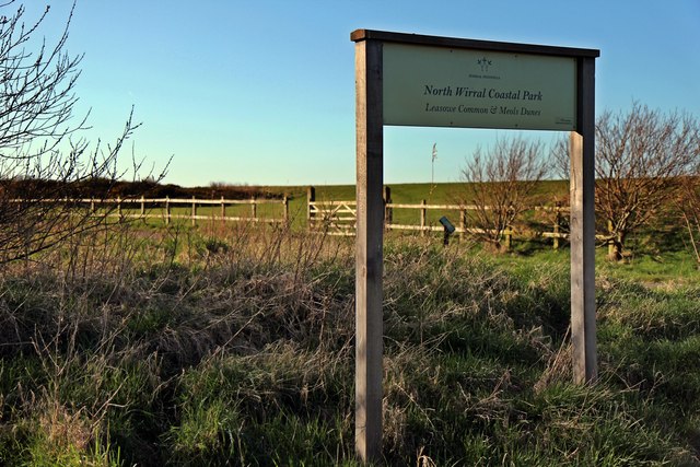
North Wirral Coastal Park
The North Wirral Coastal Park, on the Wirral Peninsula, England is a coastal park including public open space, common land, natural foreshore and sand...
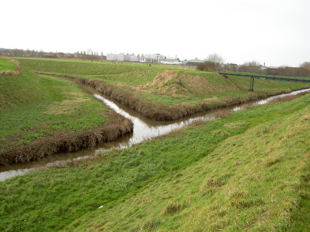
The Birket
The Birket is a tributary of the River Mersey, on the Wirral, Merseyside. The watercourse starts as lowland field drainage south of Hoylake and flows along...

Moreton railway station (Merseyside)
Moreton railway station serves the town of Moreton, in Merseyside, England. The station is on the West Kirby branch of the Wirral Line, which is part of...

New Brighton F.C. (rugby union)
New Brighton Football Club (Rugby Union) are a rugby union team based in Moreton, Merseyside, UK. They currently play in the ADM Lancashire Championship...
Leasowe
Leasowe () is a village in the Metropolitan Borough of Wirral in Merseyside, England. Historically within Cheshire (ceased to be in 1974), Leasowe was...

Leasowe railway station
Leasowe railway station is a station serving the village of Leasowe, in Merseyside, England. It lies on the West Kirby branch of the Wirral Line, part...
Town Meadow railway station
Town Meadow is a proposed railway station to serve the west of Moreton near Meols in the Wirral, England. The station would be situated on the West Kirby...

Moreton, Merseyside
Moreton is a town in the Metropolitan Borough of Wirral in Merseyside, England. It is located approximately 3 mi (4.8 km) to the west of Wallasey. Historically...
Nearby Amenities
Located within 500m of 53.414963,-3.1201593Have you been to Leasowe Common?
Leave your review of Leasowe Common below (or comments, questions and feedback).