Whiteknowe Moss

Downs, Moorland in Dumfriesshire

Scotland

Whiteknowe Moss

Minsca wind farm On Risp Hill, 36.8 MW at the moment but as usual it's due to expand.   Opened in 2008.
Minsca wind farm Credit: Richard Webb

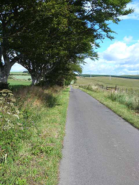
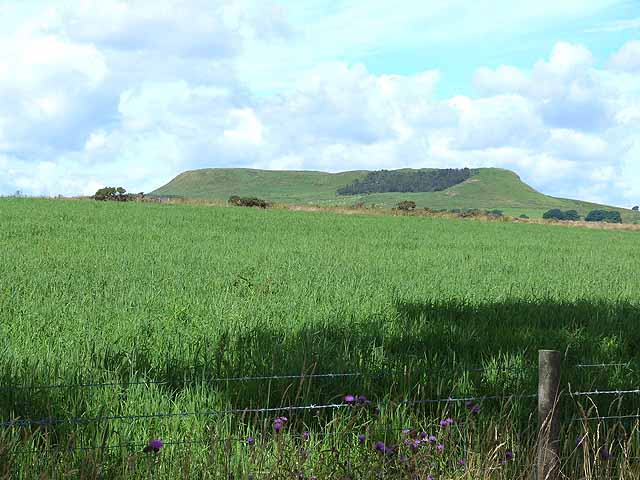
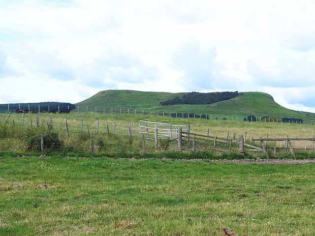
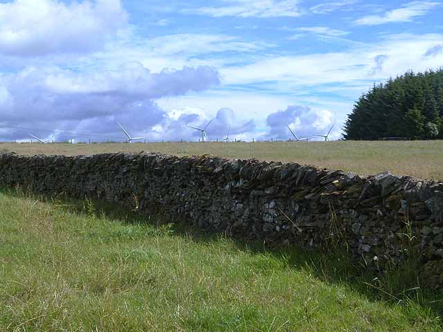
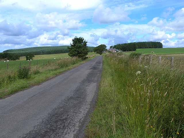
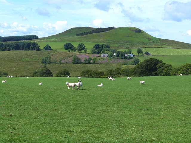
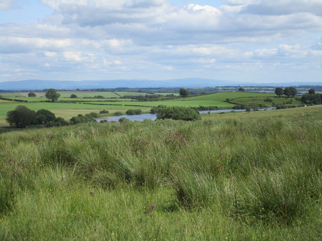
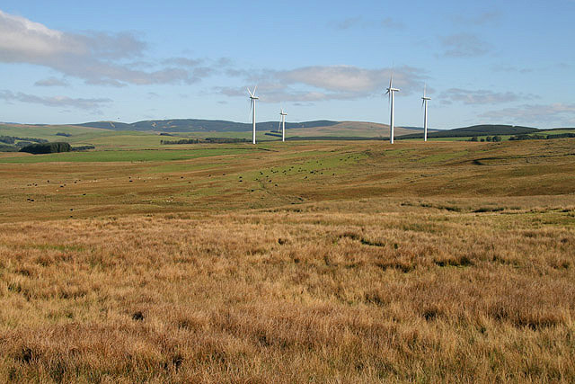
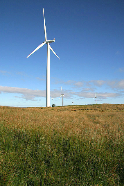
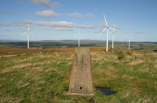
Whiteknowe Moss is a nature reserve located in Dumfriesshire, Scotland. It is a prime example of a lowland raised bog, characterized by its wet and peaty terrain. The moss is situated on a plateau, surrounded by rolling hills and moorland, creating a picturesque and serene landscape.

The vegetation at Whiteknowe Moss is diverse and includes a variety of mosses, heather, and grasses. These plants provide habitat for a range of wildlife, including birds such as curlews, lapwings, and skylarks. The reserve is also home to a number of rare plant species, making it an important site for conservation.

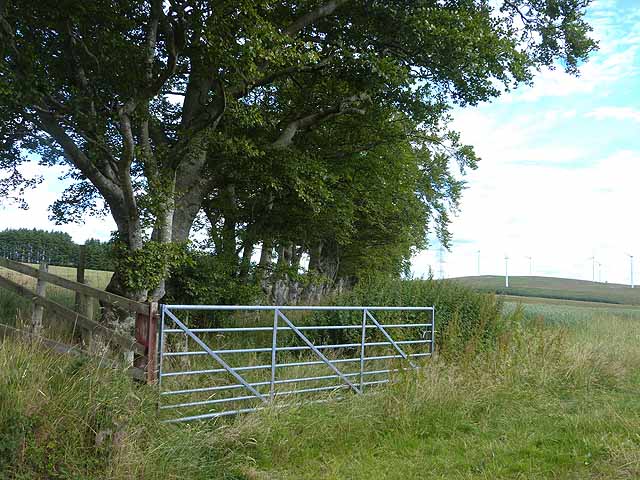
Visitors to Whiteknowe Moss can enjoy peaceful walks through the bog, taking in the sights and sounds of this unique environment. Interpretive signs provide information about the flora and fauna found in the area, as well as the geological history of the moss.

Overall, Whiteknowe Moss is a valuable natural resource, offering a glimpse into the biodiversity of the Dumfriesshire region. Its remote location and unspoiled landscape make it a popular destination for nature lovers and outdoor enthusiasts alike.

If you have any feedback on the listing, please let us know in the comments section below.

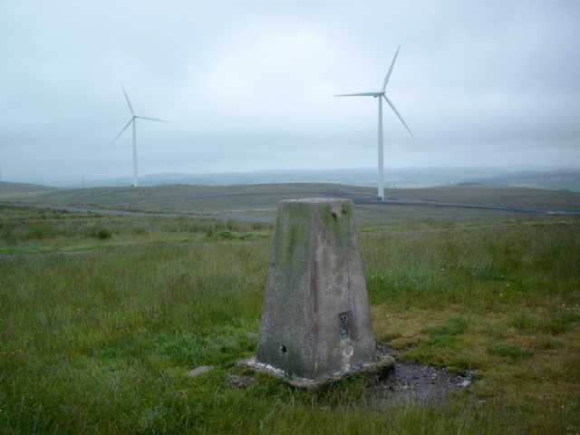
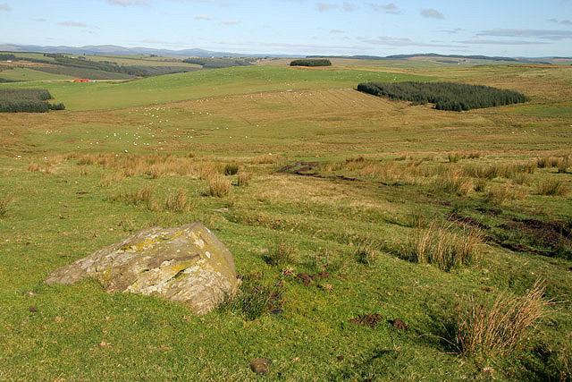
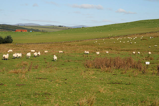
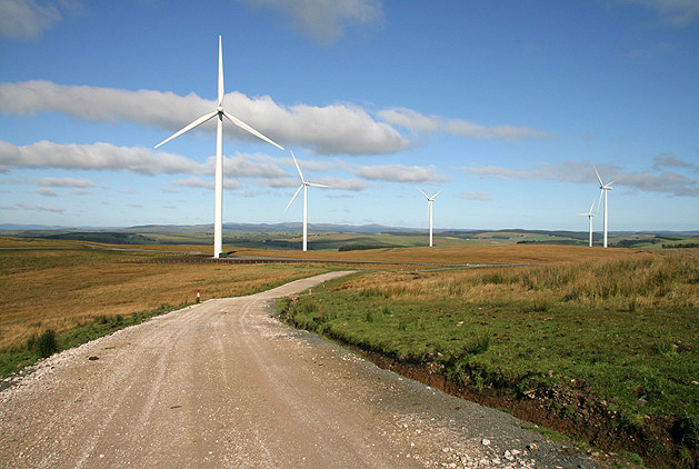
Whiteknowe Moss Images

Images are sourced within 2km of 55.104334/-3.2349195 or Grid Reference NY2179. Thanks to Geograph Open Source API. All images are credited.

Minsca wind farm On Risp Hill, 36.8 MW at the moment but as usual it's due to expand.   Opened in 2008.
Minsca wind farm
On Risp Hill, 36.8 MW at the moment but as usual it's due to expand. Opened in 2008.
Country road near Lochan-Lea
Field at Lochan Lea On the skyline is the distinctive flat-topped Burnswark Hill <a href="https://www.geograph.org.uk/gridref/NY1878">NY1878</a> which although only 287 metres high is a very prominent landmark visible over huge distances, being clearly visible from Hadrian's Wall.
Field at Lochan Lea
On the skyline is the distinctive flat-topped Burnswark Hill NY1878 which although only 287 metres high is a very prominent landmark visible over huge distances, being clearly visible from Hadrian's Wall.
Row of trees near Stockbridgehill In the distance is the Minsca windfarm on Risp Hill <a href="https://www.geograph.org.uk/gridref/NY2280">NY2280</a>.
Row of trees near Stockbridgehill
In the distance is the Minsca windfarm on Risp Hill NY2280.
Fields above Stockbridge Farm On the skyline is the distinctive flat-topped Burnswark Hill <a href="https://www.geograph.org.uk/gridref/NY1878">NY1878</a> which although only 287 metres high is a very prominent landmark visible over huge distances, being clearly visible from Hadrian's Wall.
Fields above Stockbridge Farm
On the skyline is the distinctive flat-topped Burnswark Hill NY1878 which although only 287 metres high is a very prominent landmark visible over huge distances, being clearly visible from Hadrian's Wall.
Wall and fields near Stockbridgehill Farm Peeping above the horizon are the turbine blades of the Minsca windfarm on Risp Hill <a href="https://www.geograph.org.uk/gridref/NY2280">NY2280</a>.
Wall and fields near Stockbridgehill Farm
Peeping above the horizon are the turbine blades of the Minsca windfarm on Risp Hill NY2280.
The road to Stockbridgehill Stockbridgehill Farm <a href="https://www.geograph.org.uk/gridref/NY1979">NY1979</a> can be seen in the distance.
The road to Stockbridgehill
Stockbridgehill Farm NY1979 can be seen in the distance.
Sheep near Stockbridgehill Farm Across the valley is Burnswark Farm <a href="https://www.geograph.org.uk/gridref/NY1978">NY1978</a> and beyond it is Burnswark Hill <a href="https://www.geograph.org.uk/gridref/NY1878">NY1878</a> which although only 287 metres high is a very prominent landmark visible over huge distances.
Sheep near Stockbridgehill Farm
Across the valley is Burnswark Farm NY1978 and beyond it is Burnswark Hill NY1878 which although only 287 metres high is a very prominent landmark visible over huge distances.
View towards Purdhamstone Reservoir The North Pennines visible in the distance.
View towards Purdhamstone Reservoir
The North Pennines visible in the distance.
Risp Hill Trig Pillar S9847 Surrounded by recently built windfarm. Flush bracket S9847 faces 79° easterly. Excellent long views all round.
Risp Hill Trig Pillar S9847
Surrounded by recently built windfarm. Flush bracket S9847 faces 79° easterly. Excellent long views all round.
Farmland at Powhaffet Hill grazing for cattle and sheep.
Farmland at Powhaffet
Hill grazing for cattle and sheep.
Farmland to the east of Crow Wood A sheep farming area, although there were also cattle in this field.
Farmland to the east of Crow Wood
A sheep farming area, although there were also cattle in this field.
An access road at Minsca Wind Farm The wind farm has 17 turbines with a 42.5 MW capacity.
An access road at Minsca Wind Farm
The wind farm has 17 turbines with a 42.5 MW capacity.
Rough grazing at Powhaffet Hill grazing for cattle and sheep with turbines at Minsca Wind Farm in the distance.
Rough grazing at Powhaffet
Hill grazing for cattle and sheep with turbines at Minsca Wind Farm in the distance.
Minsca Wind Farm The wind farm has 17 turbines with a 42.5MW capacity.
Minsca Wind Farm
The wind farm has 17 turbines with a 42.5MW capacity.
The trig point on Risp Hill At 276m with a flush bracket number S9847. The turbines are part of the Minsca Wind Farm.
The trig point on Risp Hill
At 276m with a flush bracket number S9847. The turbines are part of the Minsca Wind Farm.
Tree planting on Risp Hill Some deciduous planting on the west side of the Mein Water.
Tree planting on Risp Hill
Some deciduous planting on the west side of the Mein Water.
A wind turbine on Blackcleuchedge Moss This turbine is at the northern edge of the Minsca Wind Farm in a rough grazing area.
A wind turbine on Blackcleuchedge Moss
This turbine is at the northern edge of the Minsca Wind Farm in a rough grazing area.
Show me another place!

Whiteknowe Moss is located at Grid Ref: NY2179 (Lat: 55.104334, Lng: -3.2349195)

Unitary Authority: Dumfries and Galloway

Police Authority: Dumfries and Galloway

What 3 Words

///foreheads.reseller.nests. Near Lockerbie, Dumfries & Galloway

Related Wikis

Scotsbrig

Scotsbrig is a farm near Ecclefechan, Dumfries and Galloway, Scotland, and a Category B listed building. Thomas Carlyle lived there with his family in...

Burnswark Hill

Burnswark Hill (also known as Birrenswark), to the east of the A74(M) between Ecclefechan and Lockerbie in Dumfries and Galloway, Scotland, is a prominent...

Dogslacks

Dogslacks is a farmstead in the Parish of Middlebie, in the Stewartry of Kirkcudbright in Scotland. == References == Dogslacks at the National Archives...

Middlebie

Middlebie is a hamlet and parish in the historic county of Dumfriesshire in Dumfries and Galloway, south-west Scotland. It is approximately 2 miles (3...

Nearby Amenities

Located within 500m of 55.104334,-3.2349195
Minsca Farm
Generator Method: wind_turbine
Generator Source: wind
Generator Type: horizontal_axis
Power: generator
Lat/Long: 55.1079598/-3.2310312
The data included in this document is from www.openstreetmap.org. The data is made available under ODbL.

Have you been to Whiteknowe Moss?

Leave your review of Whiteknowe Moss below (or comments, questions and feedback).