Ferny Brae

Downs, Moorland in Dumfriesshire

Scotland

Ferny Brae

Garro Gill on Romans & Reivers Route Looking WSW towards summit of Scaw'd Fell on skyline. Steep climb up Garro Gill in foreground. On this section, the way is suited to hiking but for off-road cyclists it is a very difficult push (although it's preceded and followed by sections of forestry tracks, suited to riding).
Garro Gill on Romans & Reivers Route Credit: Kim McGillivray

Ferny Brae is a charming area located in Dumfriesshire, Scotland. Nestled amidst the picturesque landscape, it is a place known for its beautiful downs and moorland. With its natural splendor and serene surroundings, Ferny Brae attracts visitors and locals alike who seek tranquility and a break from the urban hustle.

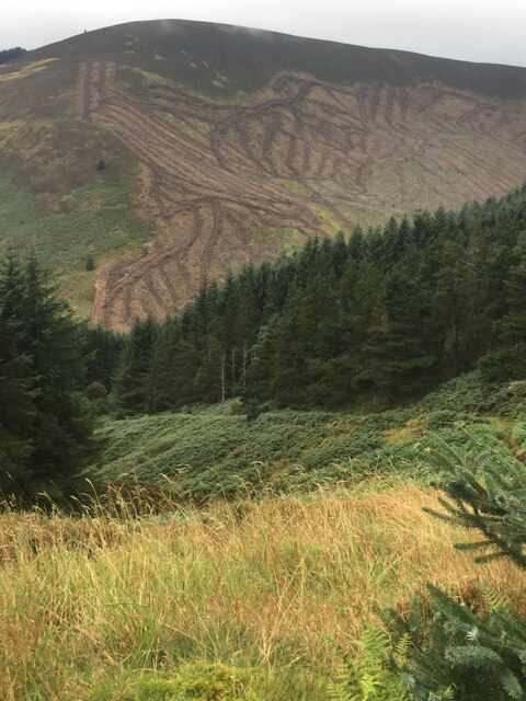
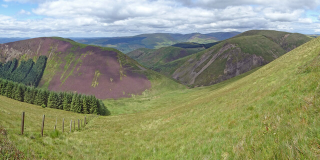
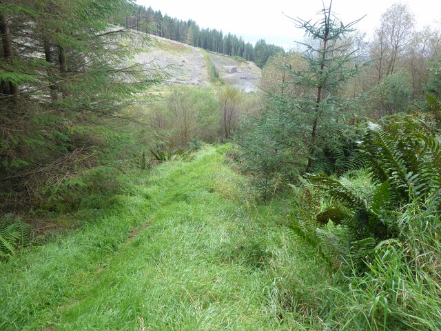
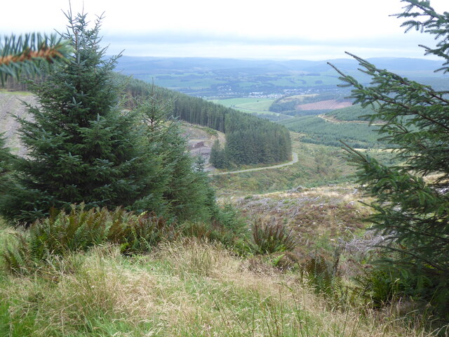
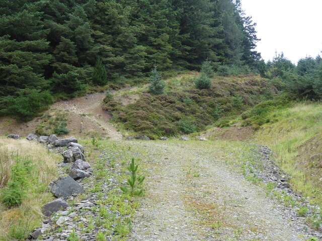
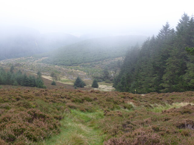
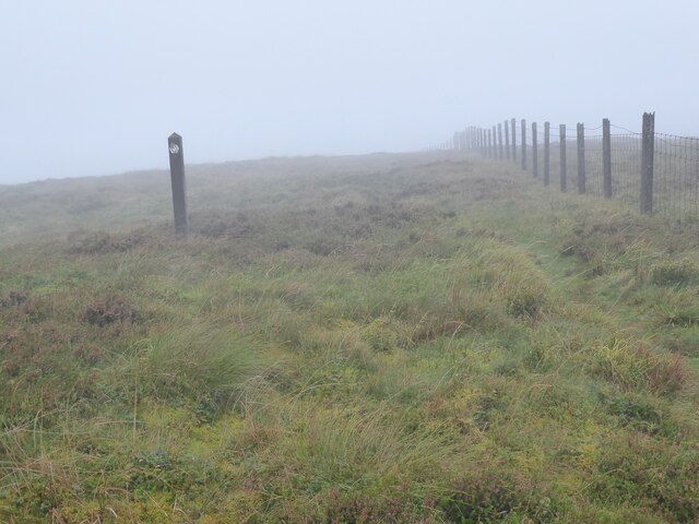
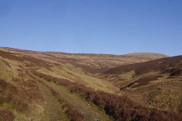
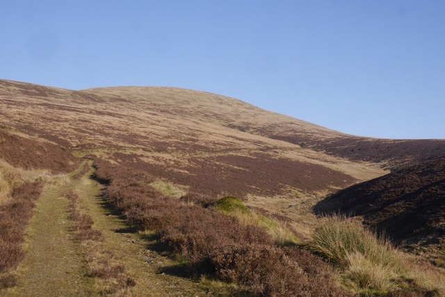
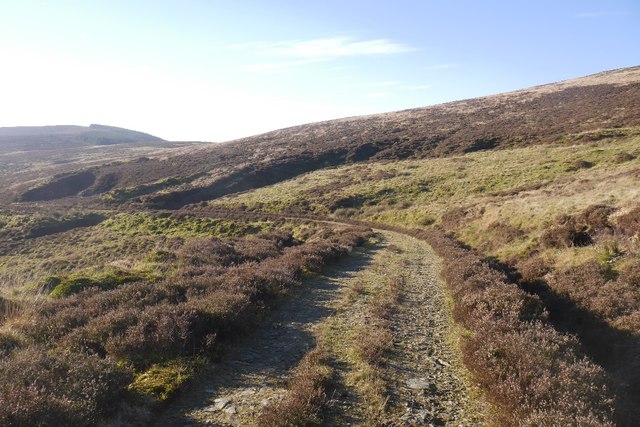
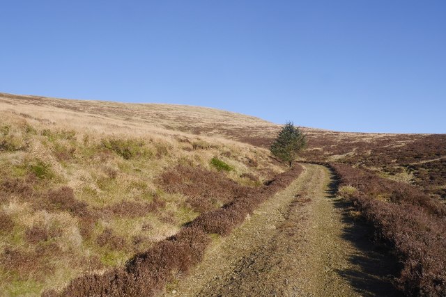
The downs of Ferny Brae are characterized by gently rolling hills covered in lush green grasses and scattered with vibrant wildflowers. These downs offer breathtaking views of the surrounding countryside and are a haven for nature enthusiasts. Visitors can enjoy leisurely walks or hikes, immersing themselves in the peaceful atmosphere while spotting various species of birds and wildlife.

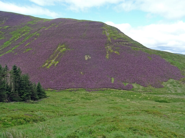
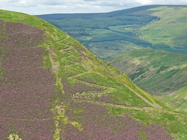
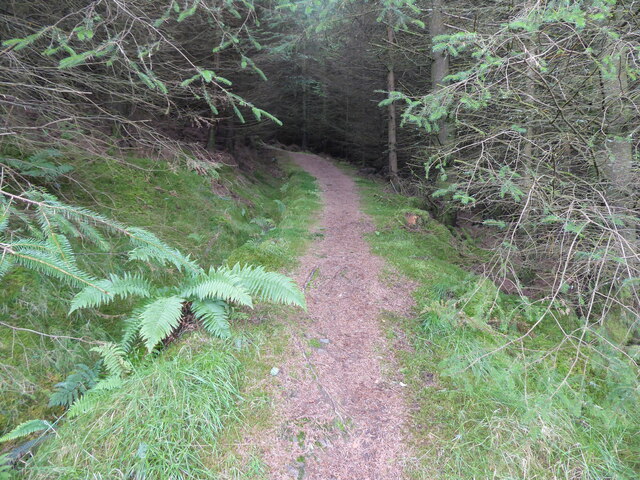
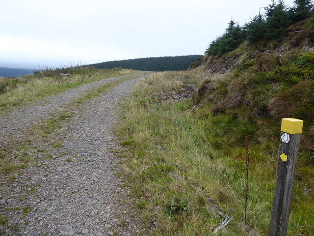
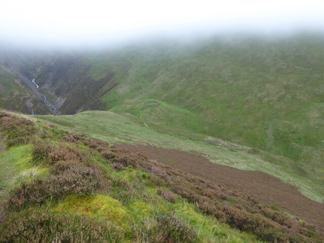
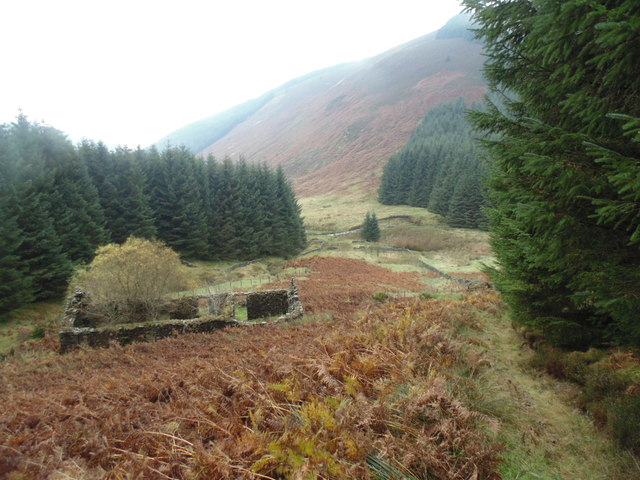
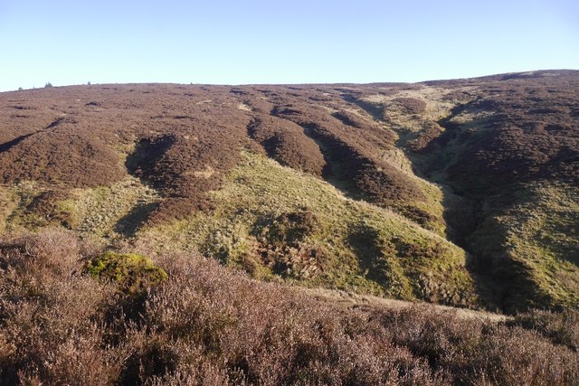
The moorland of Ferny Brae offers a different kind of beauty. It is characterized by expanses of open, heather-clad land stretching as far as the eye can see. The moorland is interspersed with scattered boulders and patches of woodland, creating a diverse and captivating landscape. It provides a unique opportunity for exploration and discovery, with its winding paths and hidden nooks.

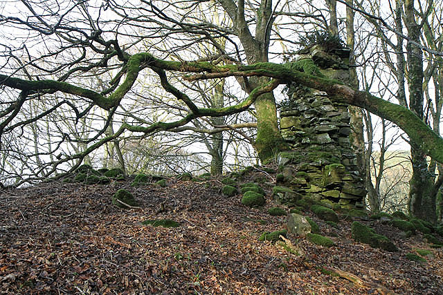
Ferny Brae is not only a place of natural wonder but also holds historical significance. The area is dotted with ancient ruins, standing as a testament to its rich past. These include old stone circles, burial mounds, and remnants of ancient settlements, offering glimpses into the lives of those who once called this place home.

In summary, Ferny Brae in Dumfriesshire captivates with its downs and moorland, offering a peaceful retreat for nature lovers and a glimpse into the region's history. Its stunning vistas and serene ambiance make it a must-visit destination for those seeking solace in the beauty of the Scottish countryside.

If you have any feedback on the listing, please let us know in the comments section below.

Ferny Brae Images

Images are sourced within 2km of 55.322697/-3.337508 or Grid Reference NT1503. Thanks to Geograph Open Source API. All images are credited.

Garro Gill on Romans & Reivers Route Looking WSW towards summit of Scaw'd Fell on skyline. Steep climb up Garro Gill in foreground. On this section, the way is suited to hiking but for off-road cyclists it is a very difficult push (although it's preceded and followed by sections of forestry tracks, suited to riding).
Garro Gill on Romans & Reivers Route
Looking WSW towards summit of Scaw'd Fell on skyline. Steep climb up Garro Gill in foreground. On this section, the way is suited to hiking but for off-road cyclists it is a very difficult push (although it's preceded and followed by sections of forestry tracks, suited to riding).
Blooming Heather on Croft Head The purple heather was eye catching on the slopes of Croft Head and it is amazing to see the change in colour in just over a month in the year to this picture taken in July 2 years ago:-
<a title="https://www.geograph.org.uk/photo/6889106" href="https://www.geograph.org.uk/photo/6889106">Link</a>
Photo taken on the very steep slopes of West Knowe. Southern Upland Way path can clearly be seen zigzagging up Croft Head, and the bad weather alternative can also be seen in the valley.
Blooming Heather on Croft Head
The purple heather was eye catching on the slopes of Croft Head and it is amazing to see the change in colour in just over a month in the year to this picture taken in July 2 years ago:- Link Photo taken on the very steep slopes of West Knowe. Southern Upland Way path can clearly be seen zigzagging up Croft Head, and the bad weather alternative can also be seen in the valley.
Above the Southern Upland Way Dumfries and Galloway scenery with the Southern Upland Way traversing over Croft Head, with the bad weather alternative in the valley. Capel Fell is the hill to the right, while in the distance is the Hart Fell group of hills.
Above the Southern Upland Way
Dumfries and Galloway scenery with the Southern Upland Way traversing over Croft Head, with the bad weather alternative in the valley. Capel Fell is the hill to the right, while in the distance is the Hart Fell group of hills.
Croft Head Zigzags These zigzags ease the climb of Croft Head on the Southern Upland Way. Taken from West Knowe opposite. In the distance the forestry plantation is on the slopes of Swatte Fell.
Croft Head Zigzags
These zigzags ease the climb of Croft Head on the Southern Upland Way. Taken from West Knowe opposite. In the distance the forestry plantation is on the slopes of Swatte Fell.
The Southern Upland Way near Craigbeck Rig
View from the Southern Upland Way near Craigbeck Rig
The Southern Upland Way near Craigbeck Rig
The Southern Upland Way near Gateshaw Rig
The Southern Upland Way near Croft Head
Garrogill The ruins of Garrogill - October,2014.
Garrogill
The ruins of Garrogill - October,2014.
Head of the Dryfe Water The road follows the burn to cross a pass high on Loch Fell.
Head of the Dryfe Water
The road follows the burn to cross a pass high on Loch Fell.
South Loch Fell Moorland near the source of the Dryfe Water.
South Loch Fell
Moorland near the source of the Dryfe Water.
Road on Loch Fell The road crosses the pass to the south of Loch Fell and connects the sheep grazing on the Dryfe Water with the farm in Eskdale.
Road on Loch Fell
The road crosses the pass to the south of Loch Fell and connects the sheep grazing on the Dryfe Water with the farm in Eskdale.
Road on Loch Fell Descent following the Dryfe Water.
Road on Loch Fell
Descent following the Dryfe Water.
Road over Loch Fell Climbing to a pass at 540m which links a farm in Eskdale with sheep grazing along the upper Dryfe Water.
Road over Loch Fell
Climbing to a pass at 540m which links a farm in Eskdale with sheep grazing along the upper Dryfe Water.
Show me another place!

Ferny Brae is located at Grid Ref: NT1503 (Lat: 55.322697, Lng: -3.337508)

Unitary Authority: Dumfries and Galloway

Police Authority: Dumfries and Galloway

What 3 Words

///bedding.thudding.tearfully. Near Moffat, Dumfries & Galloway

Nearby Locations

Ferny Brae

Related Wikis

Croft Head

Croft Head is a hill in the Ettrick Hills range, part of the Southern Uplands of Scotland. It offers unobstructed views to the Solway Firth, the fells...

Cornal Tower

Cornal Tower is the ruins of a tower house located near Moffat, Dumfries-shire, Scotland. Alternative names are Polcornare, Cornal Burn, or Logan. The...

Ettrick Pen

Ettrick Pen is a hill in the Ettrick Hills range, part of the Southern Uplands of Scotland. A remote peak, It lies southwest of the village of Ettrick...

Moffat Academy

Moffat Academy is a school in Moffat, Dumfries and Galloway, Scotland. It educates children from nursery to Secondary 6. == History == Moffat Academy traces...

Have you been to Ferny Brae?

Leave your review of Ferny Brae below (or comments, questions and feedback).