Lead Flats
Downs, Moorland in Peeblesshire
Scotland
Lead Flats
Lead Flats is a rugged and picturesque area located in Peeblesshire, Scotland. Situated amidst the stunning Scottish Borders, this region is known for its scenic beauty, encompassing both downs and moorland landscapes. The area gets its name from the presence of significant lead deposits in the past, which played a vital role in the local economy.
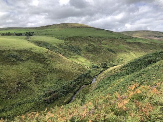
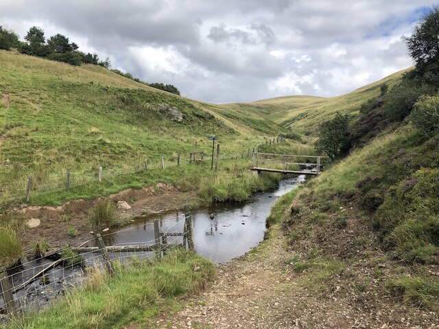
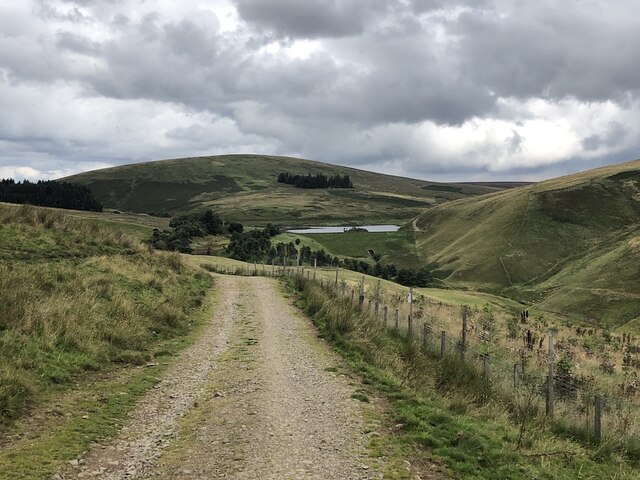
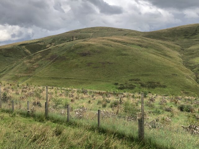
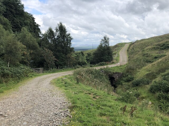
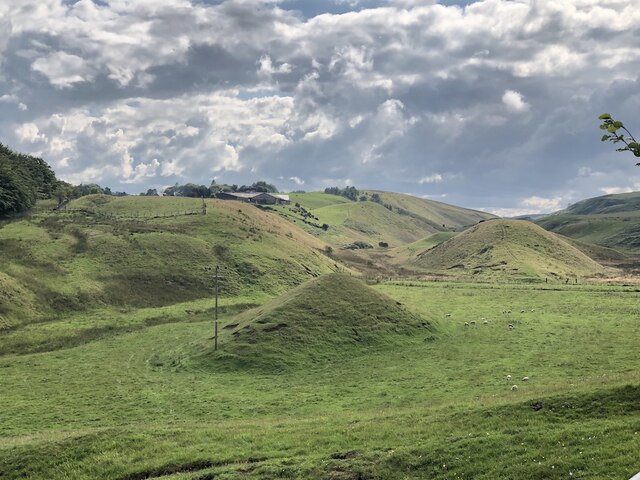
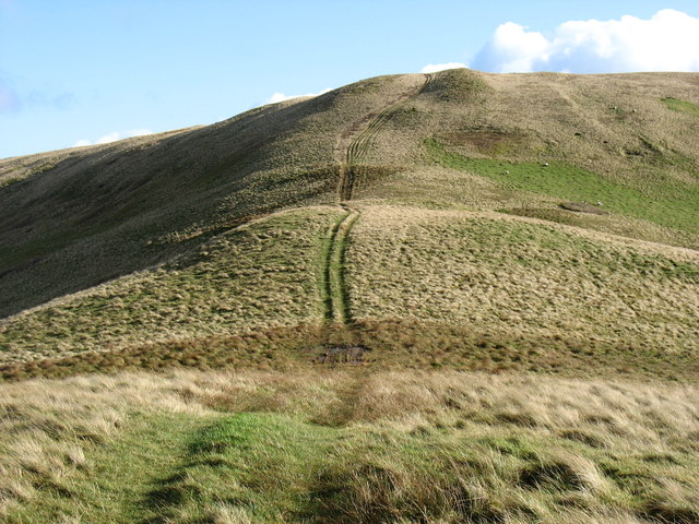
Covering a vast expanse of land, Lead Flats features undulating downs with rolling hills and expansive grasslands. These downs offer breathtaking panoramic views of the surrounding countryside, providing a haven for nature enthusiasts and hikers. The moorland areas are characterized by vast stretches of heather, moss, and peat bogs, creating a unique and diverse habitat for various wildlife species.
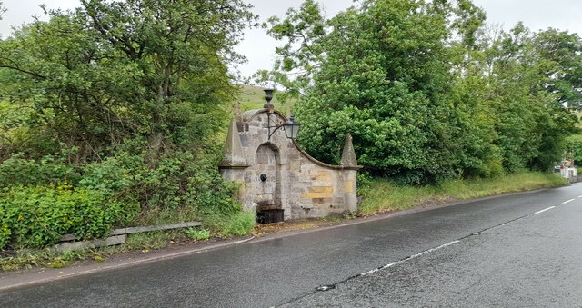
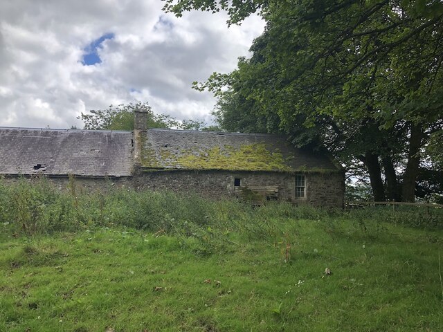
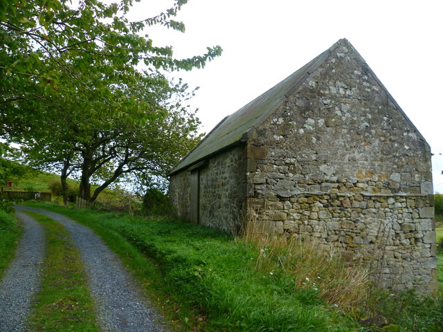
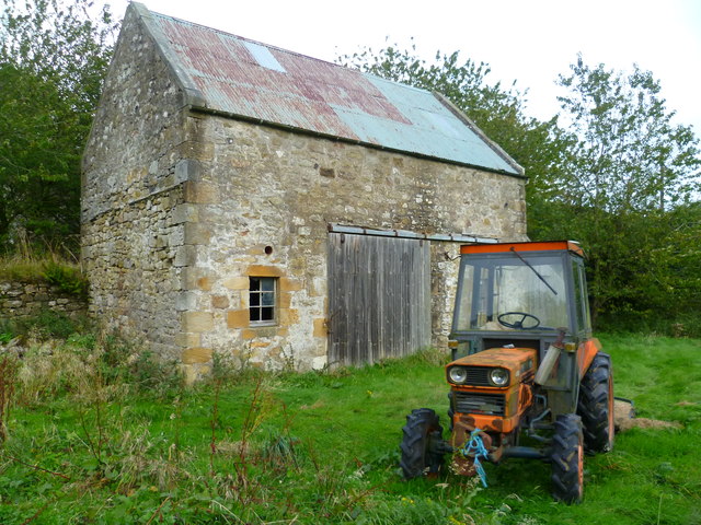
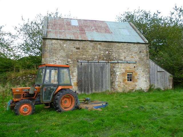
Lead Flats boasts a rich history, with evidence of human activity dating back to ancient times. The region's lead mining industry thrived in the 18th and 19th centuries, attracting a significant number of settlers who sought livelihoods in this lucrative trade. Although the mining activity has ceased, remnants of the industry, such as abandoned mine shafts and ruins of former settlements, can still be found, adding an intriguing historical dimension to the area.
Today, Lead Flats is a popular destination for outdoor enthusiasts, offering opportunities for hiking, birdwatching, and photography. The diverse landscape provides habitat for various wildlife species, including red grouse, mountain hares, and golden eagles. Visitors can explore the area through well-marked trails, immersing themselves in the natural beauty of this unspoiled Scottish landscape.
In summary, Lead Flats in Peeblesshire is a captivating region that combines downs and moorland landscapes, offering breathtaking views and rich historical significance. It is a haven for nature lovers and outdoor enthusiasts seeking to experience the wild beauty of the Scottish Borders.
If you have any feedback on the listing, please let us know in the comments section below.
Lead Flats Images
Images are sourced within 2km of 55.783231/-3.3547446 or Grid Reference NT1555. Thanks to Geograph Open Source API. All images are credited.


Lead Flats is located at Grid Ref: NT1555 (Lat: 55.783231, Lng: -3.3547446)
Unitary Authority: The Scottish Borders
Police Authority: The Lothians and Scottish Borders
What 3 Words
///slimy.awestruck.corrupted. Near West Linton, Scottish Borders
Nearby Locations
Related Wikis
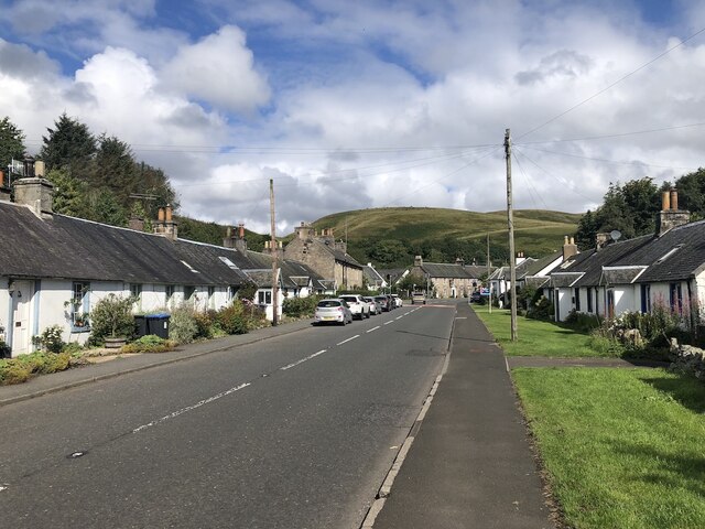
Carlops
Carlops (Scottish Gaelic: Leum na Caillich) is a small village in the Pentland Hills, within the Scottish Borders area of Scotland, close to the boundary...

Baddinsgill Reservoir
Baddinsgill Reservoir is a small reservoir in the Scottish Borders area of Scotland close to Carlops, West Linton, and the boundary with Midlothian. It...

Baddinsgill
Baddinsgill is a hamlet in the Scottish Borders area of Scotland. The Baddinsgill Reservoir is a few hundred metres north of the hamlet. == See also... ==
Pentland Hills
The Pentland Hills are a range of hills southwest of Edinburgh, Scotland. The range is around twenty miles (thirty kilometres) in length, and runs southwest...
Nearby Amenities
Located within 500m of 55.783231,-3.3547446Have you been to Lead Flats?
Leave your review of Lead Flats below (or comments, questions and feedback).