White Moss
Downs, Moorland in Dumfriesshire
Scotland
White Moss
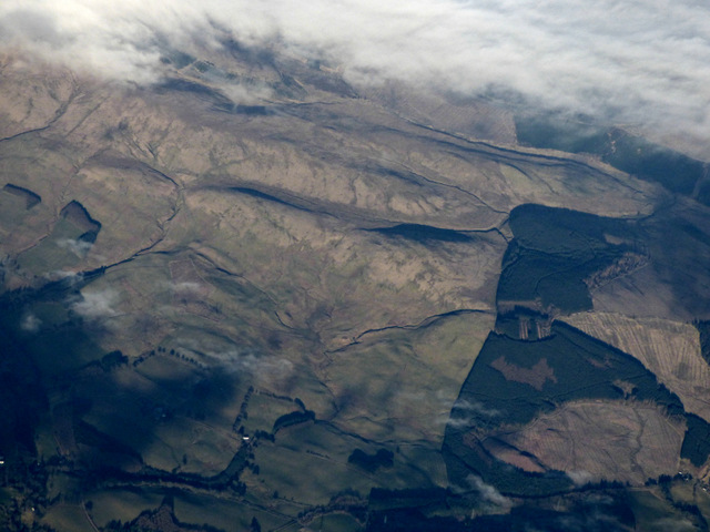
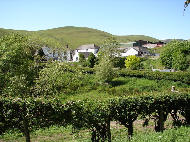
White Moss is a vast and picturesque area located in Dumfriesshire, Scotland. Stretching across an impressive expanse of downs and moorland, it offers visitors a diverse and captivating natural landscape. Covering an area of approximately 10 square kilometers, White Moss is home to a rich variety of flora and fauna, making it a popular destination for nature enthusiasts and hikers alike.
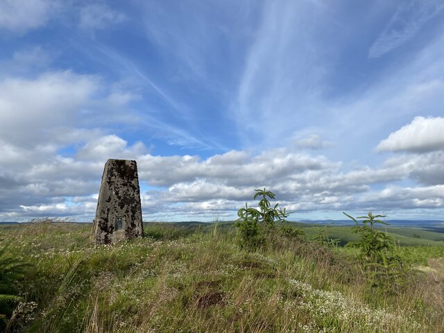
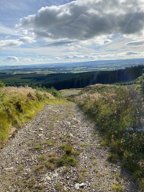
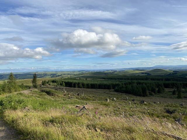
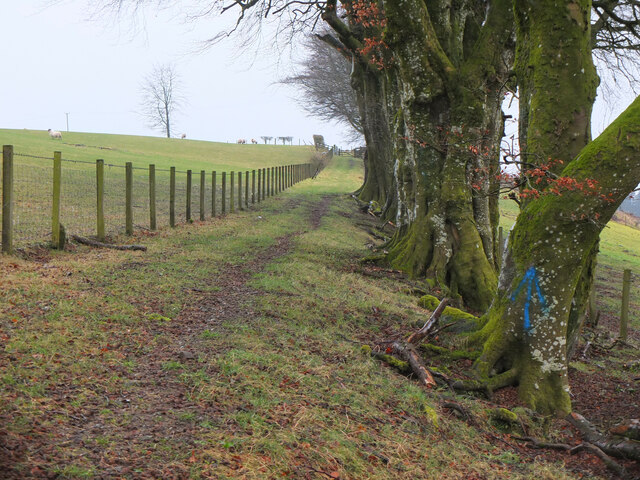
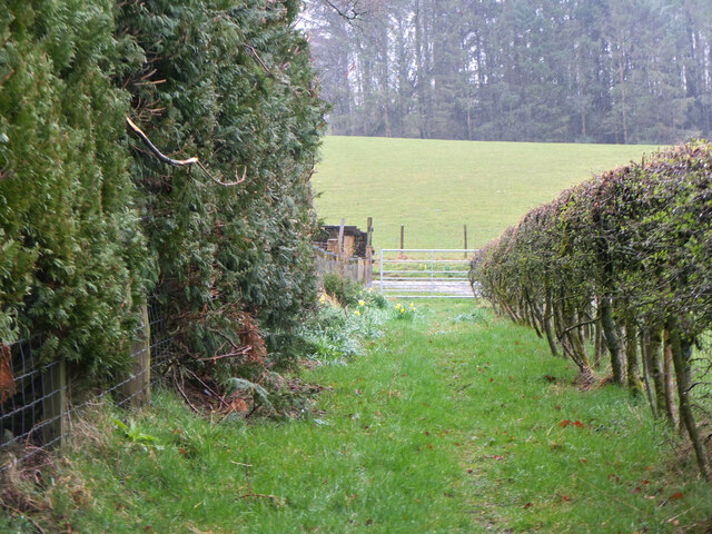
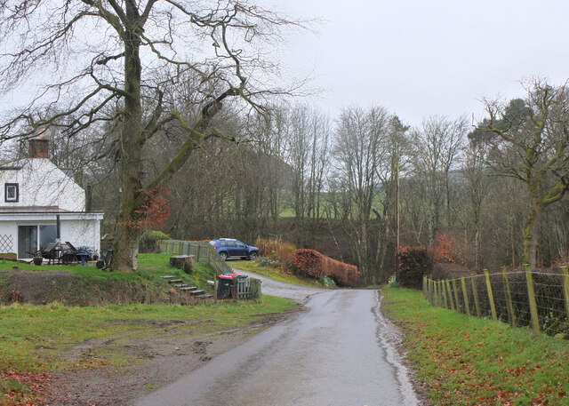
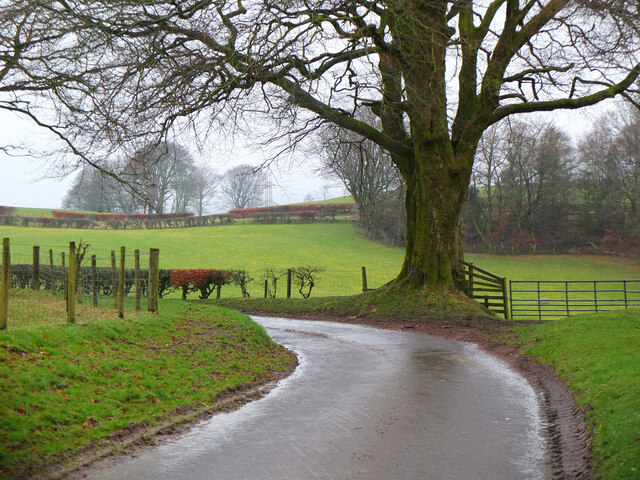
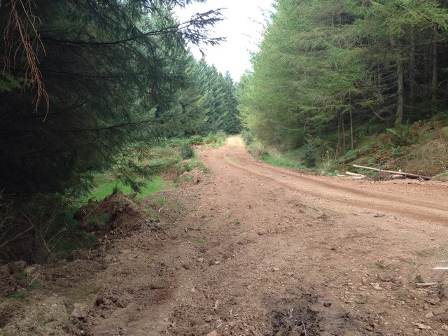
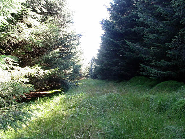
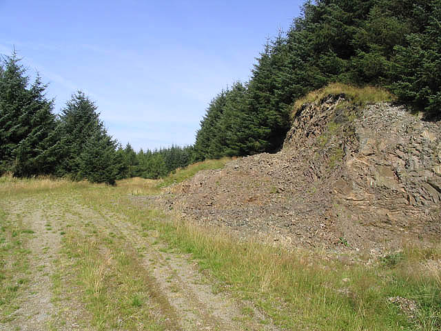
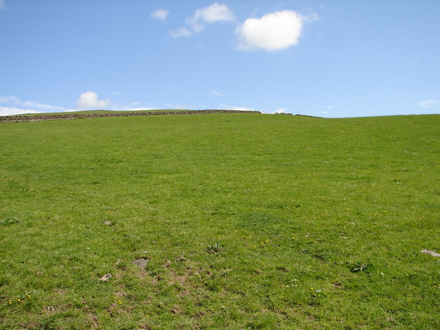
The downs of White Moss are characterized by rolling hills and wide open spaces, providing breathtaking views of the surrounding countryside. The undulating terrain is covered in lush green grass, dotted with occasional clusters of trees, and offers ample opportunities for exploration and outdoor activities. Hiking trails crisscross the downs, allowing visitors to discover hidden valleys, ancient ruins, and even remnants of prehistoric settlements.
The moorland of White Moss presents a different kind of beauty, with its rugged and wild terrain. Here, visitors can immerse themselves in the untamed wilderness and experience the solitude and tranquility of the Scottish countryside. The moorland is blanketed by heather, providing a striking purple hue during the summer months. It is also home to a variety of bird species, including curlews, lapwings, and red grouse.
White Moss is a haven for wildlife enthusiasts, as it is home to a wide range of animals. Visitors may catch a glimpse of red deer, roe deer, or even the elusive Scottish wildcat. The area also boasts a significant population of smaller mammals, such as rabbits, hares, and foxes.
In summary, White Moss in Dumfriesshire offers a captivating blend of downs and moorland, providing visitors with stunning landscapes, diverse flora and fauna, and a unique opportunity to reconnect with nature.
If you have any feedback on the listing, please let us know in the comments section below.
White Moss Images
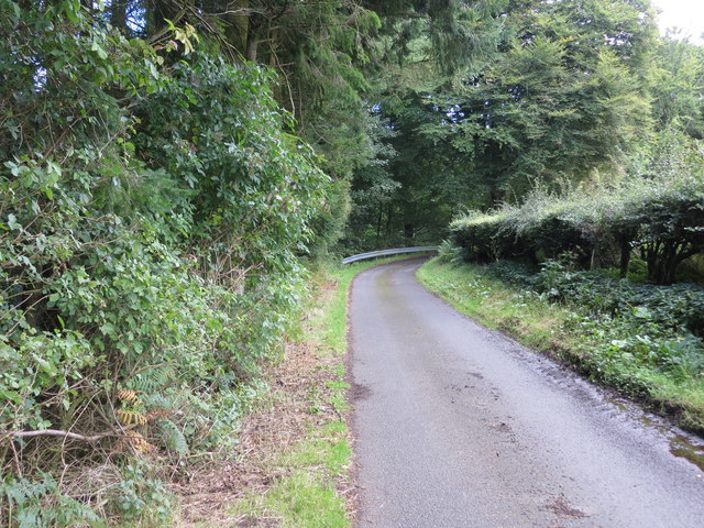
Images are sourced within 2km of 55.25466/-3.3374713 or Grid Reference NY1596. Thanks to Geograph Open Source API. All images are credited.
White Moss is located at Grid Ref: NY1596 (Lat: 55.25466, Lng: -3.3374713)
Unitary Authority: Dumfries and Galloway
Police Authority: Dumfries and Galloway
What 3 Words
///cuter.slicing.cyber. Near Johnstonebridge, Dumfries & Galloway
Nearby Locations
Related Wikis

Wamphray railway station
Wamphray railway station served Newton Wamphray, near Beattock, in the Scottish county of Dumfries and Galloway. It was served by local trains on what...

Newton Wamphray
Newton Wamphray is a village in Dumfries and Galloway. Wamphray is the name of the surrounding parish and of the Wamphray Water, which flows south-west...

Annandale Water services
Annandale Water services is a motorway service station in the village of Johnstonebridge, Scotland. The service station is located next to the A74(M) motorway...

Annandale Water
Annandale Water is a loch in Annandale, Dumfries and Galloway, in the south west of Scotland. It is part of Annandale Water service station at Junction...
Nearby Amenities
Located within 500m of 55.25466,-3.3374713Have you been to White Moss?
Leave your review of White Moss below (or comments, questions and feedback).