Monkslade Common
Downs, Moorland in Somerset Somerset West and Taunton
England
Monkslade Common
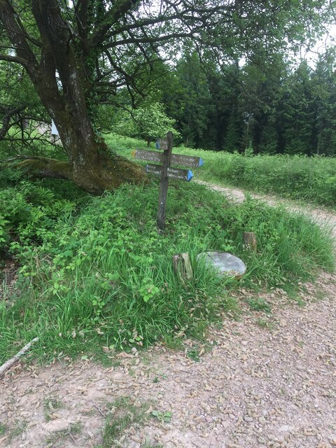
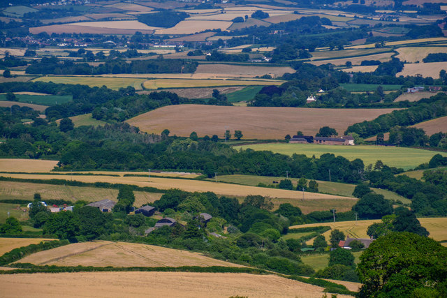
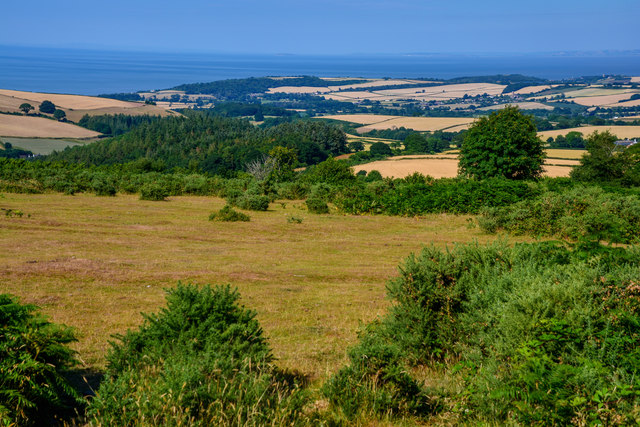
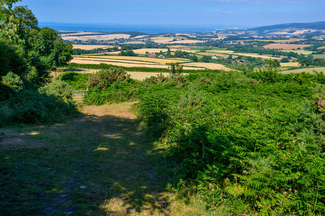
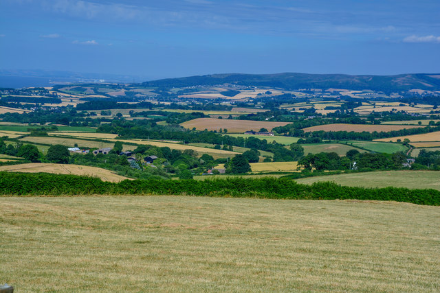
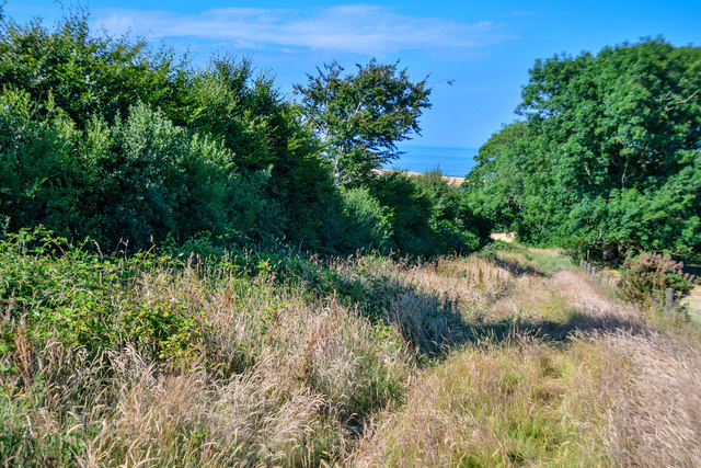
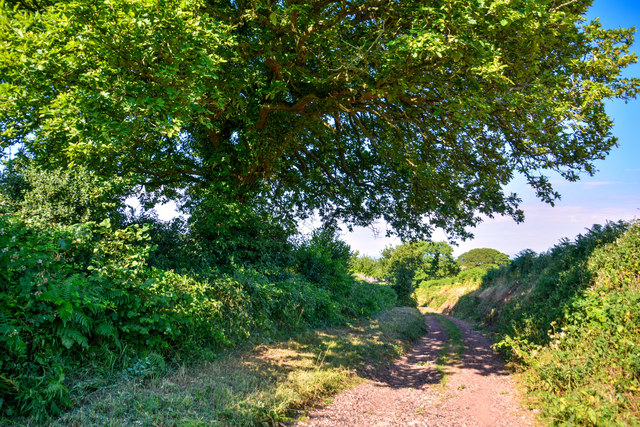
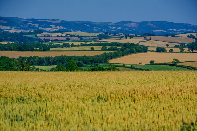
Monkslade Common is a picturesque area located in Somerset, England. Situated amidst the stunning hills of the Mendip Range, this common is known for its diverse landscape, encompassing downs and moorland. Covering an area of approximately 250 acres, Monkslade Common is a designated Site of Special Scientific Interest (SSSI) due to its ecological significance.
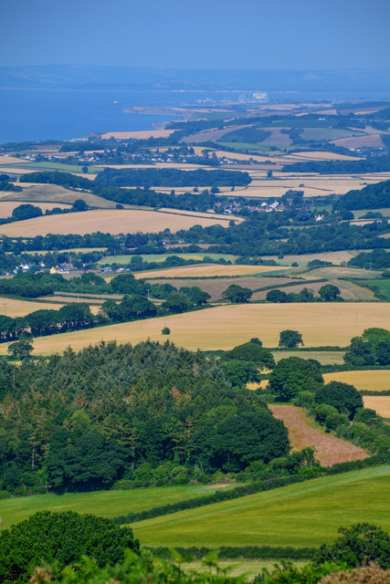
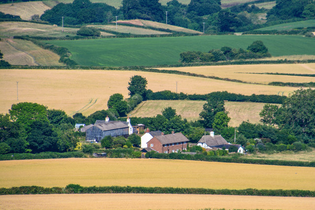
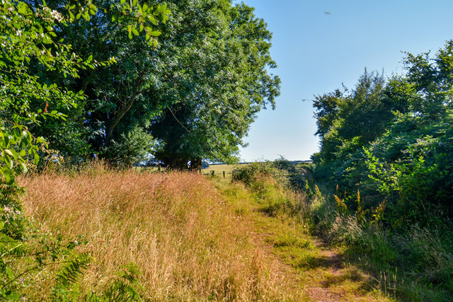
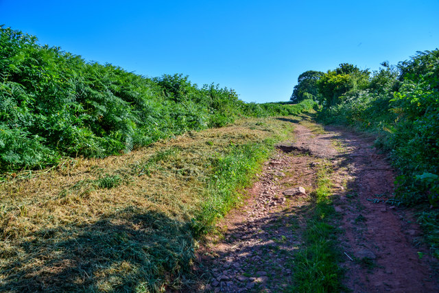
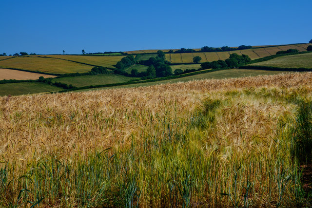
The common is characterized by its rolling hills and expansive grasslands, providing a habitat for a wide range of plant and animal species. The downs, with their gently sloping hills, are covered with a patchwork of grasses and wildflowers, creating a vibrant and colorful landscape during the summer months. This area is home to various species of birds, including skylarks and meadow pipits, which can often be seen soaring above the grassy plains.
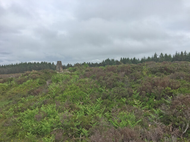
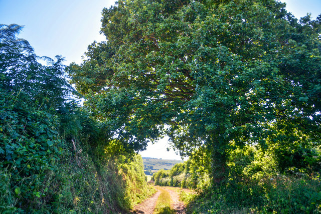
Moving towards the moorland, the landscape becomes more rugged, with heather-covered hills and rocky outcrops. The moorland is interspersed with small streams and ponds, providing a crucial water source for the wildlife inhabiting the area. This habitat is particularly important for the rare and protected Exmoor pony, which can be spotted grazing on the open moorland.
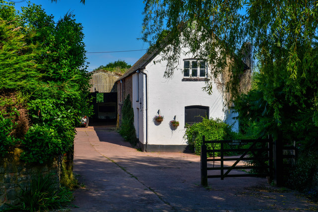
Monkslade Common is a popular destination for nature enthusiasts, offering opportunities for walking, birdwatching, and wildlife photography. The common is also a place of historical interest, with ancient burial mounds and remnants of prehistoric settlements scattered throughout the area. Its natural beauty and rich biodiversity make Monkslade Common a valuable gem in the Somerset countryside.
If you have any feedback on the listing, please let us know in the comments section below.
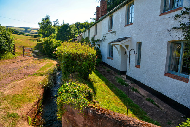
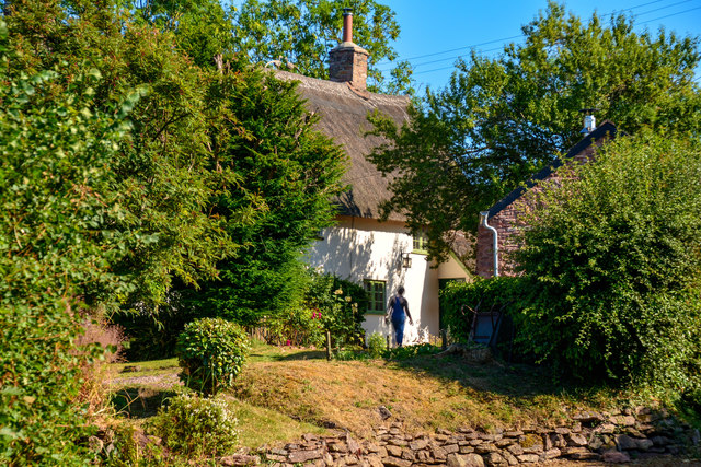
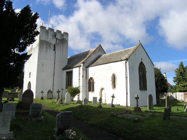
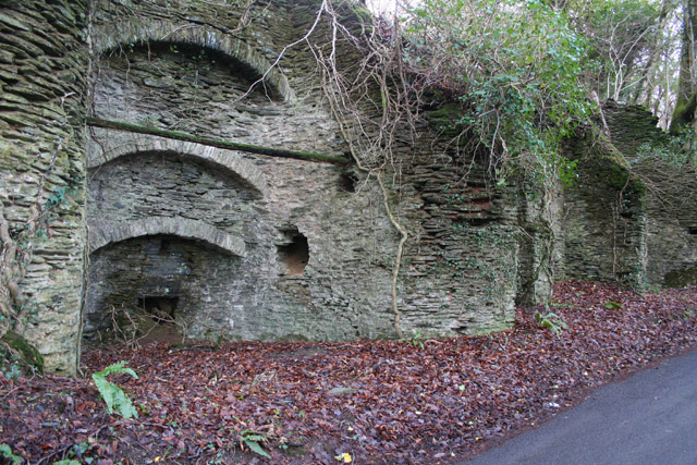
Monkslade Common Images
Images are sourced within 2km of 51.141953/-3.4352853 or Grid Reference SS9939. Thanks to Geograph Open Source API. All images are credited.
Monkslade Common is located at Grid Ref: SS9939 (Lat: 51.141953, Lng: -3.4352853)
Administrative County: Somerset
District: Somerset West and Taunton
Police Authority: Avon and Somerset
What 3 Words
///regaining.exacts.appointed. Near Minehead, Somerset
Nearby Locations
Related Wikis

Rodhuish Common
Rodhuish Common is a univallate Iron Age hill fort in the West Somerset district of Somerset, England. There is a small oval enclosure which is thought...

Church of St Bartholomew, Rodhuish
The Anglican Church of St Bartholomew in Rodhuish, Somerset, England was built in the 15th century. It is a Grade II* listed building. == History == The...

Luxborough
Luxborough is a small village and civil parish located some 6 miles (9.7 km) south of Dunster, lying amongst the Brendon Hills and the Exmoor National...

St Mary's Church, Luxborough
The Anglican St Mary's Church at Luxborough within the English county of Somerset dates from the 13th century. It is a Grade II listed building.The chancel...

Church of St Peter, Williton
The Anglican Church of St Peter in Williton in the English county of Somerset is recorded in the National Heritage List for England as a designated Grade...

St Peter's Church, Treborough
The Anglican St Peter's Church at Treborough within the English county of Somerset dates from the 14th century. It is a Grade II* listed building.Although...
Withycombe
Withycombe is a village, civil parish, and former manor 2.5 miles (4 km) south east of Dunster, and 5 miles (8 km) from Minehead within the Exmoor National...
Treborough
Treborough is a small village and civil parish 7 miles (11 km) south of Dunster, lying amongst the Brendon Hills within the Exmoor National Park in the...
Have you been to Monkslade Common?
Leave your review of Monkslade Common below (or comments, questions and feedback).