The Moor
Downs, Moorland in Lanarkshire
Scotland
The Moor
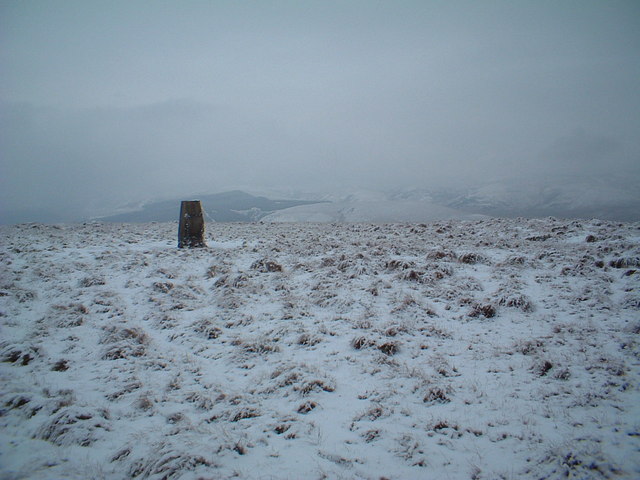
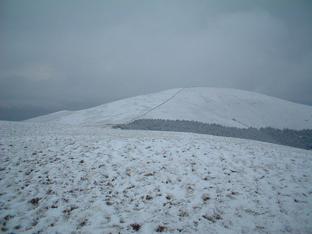
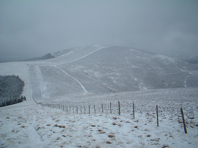
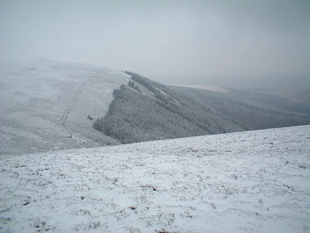
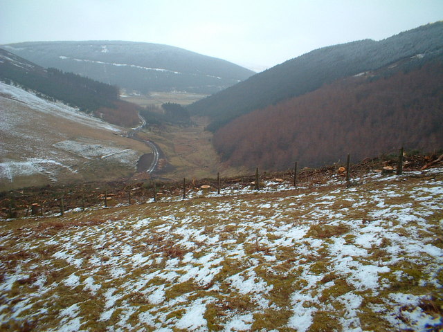
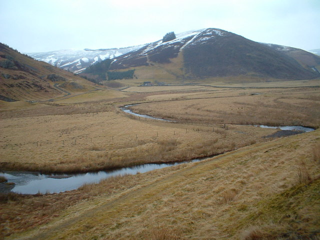
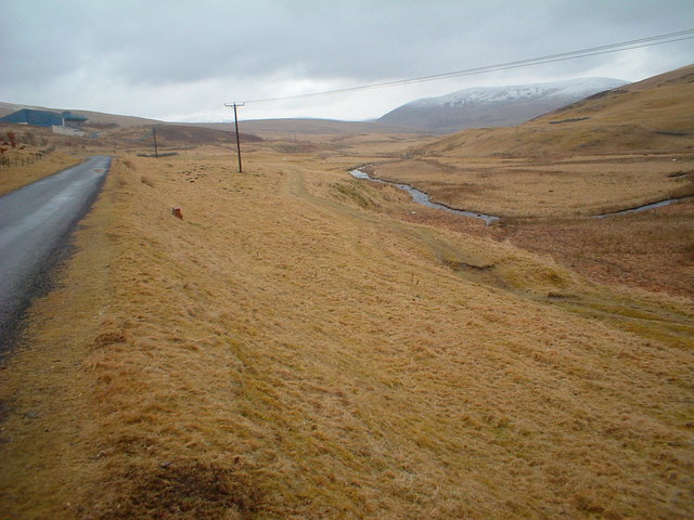
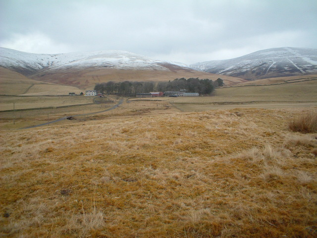
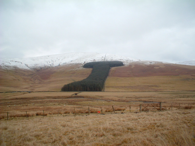
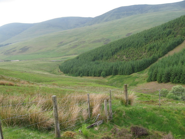
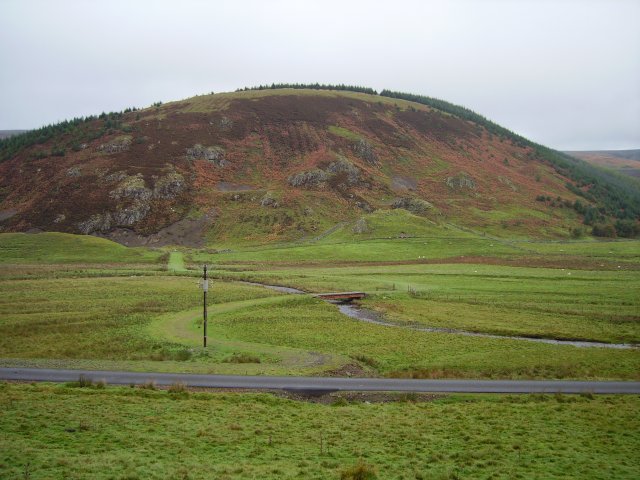
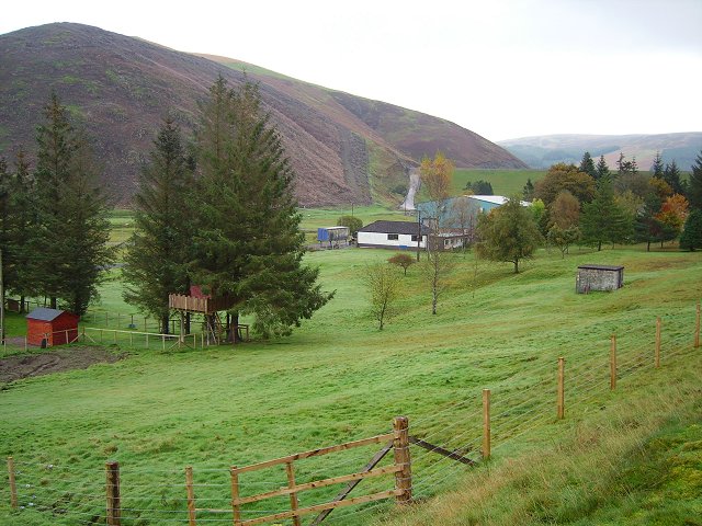
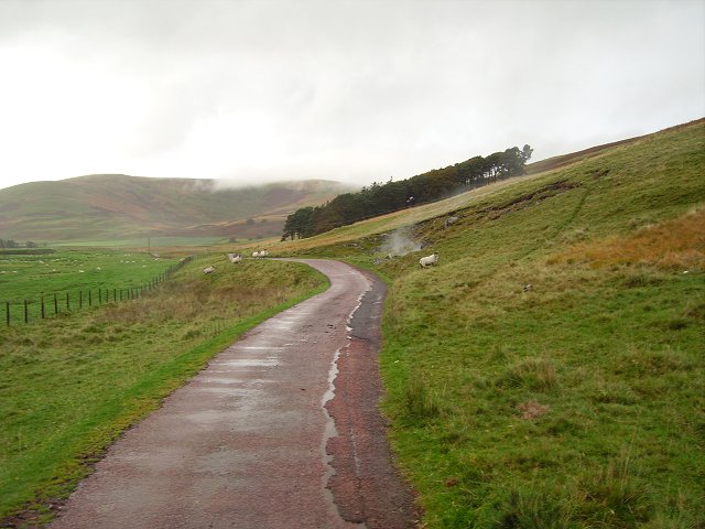
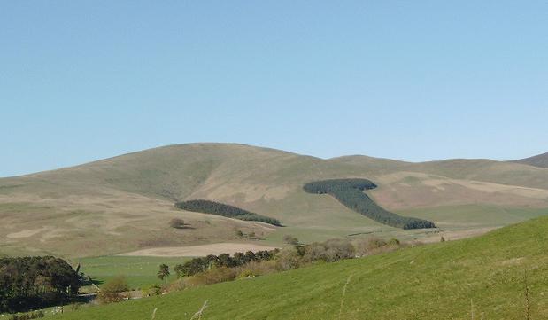
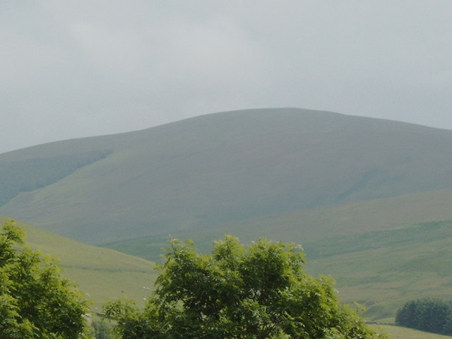
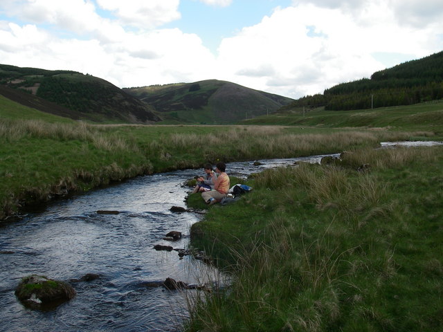
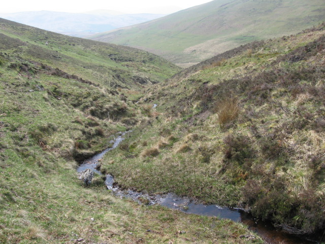
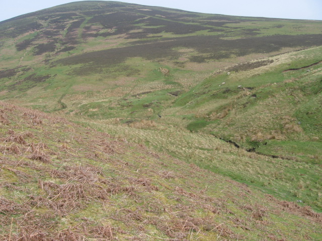
The Moor, located in Lanarkshire, Scotland, is a vast and picturesque expanse of moorland that covers an extensive area. The landscape is characterized by its rolling hills, heather-covered terrain, and scattered patches of woodland. With its remote and tranquil atmosphere, The Moor offers a unique experience for nature enthusiasts and outdoor adventurers.
Spanning across several miles, The Moor is home to a diverse range of flora and fauna. The heather, which blooms into a vibrant purple hue during the summer months, dominates the landscape and creates a stunning backdrop for visitors. The area is also inhabited by various species of birds, including skylarks, curlews, and red grouse, making it a haven for birdwatchers.
The Moor offers a range of outdoor activities for visitors to enjoy. Hiking and walking trails crisscross the area, allowing explorers to discover its hidden gems. The terrain is suitable for both leisurely strolls and challenging hikes, offering something for all levels of fitness and experience. Additionally, The Moor is a popular destination for mountain biking, with its undulating landscape providing an exhilarating ride.
The Moor also holds historical significance, with remnants of its past scattered throughout the area. Ancient stone circles and burial grounds serve as reminders of the rich history and cultural heritage of the region, attracting history enthusiasts and archaeologists alike.
Overall, The Moor in Lanarkshire is a captivating destination that showcases the natural beauty and historical significance of the moorland. Its tranquil atmosphere, diverse wildlife, and range of outdoor activities make it an ideal spot for nature lovers and those seeking a peaceful escape from the bustling city life.
If you have any feedback on the listing, please let us know in the comments section below.
The Moor Images
Images are sourced within 2km of 55.489657/-3.617371 or Grid Reference NS9722. Thanks to Geograph Open Source API. All images are credited.
The Moor is located at Grid Ref: NS9722 (Lat: 55.489657, Lng: -3.617371)
Unitary Authority: South Lanarkshire
Police Authority: Lanarkshire
What 3 Words
///lectured.grub.initiates. Near Biggar, South Lanarkshire
Nearby Locations
Related Wikis

Crawford Castle
Crawford Castle, substantially in ruins, is located on the north bank of the River Clyde, around 1⁄2 mile (800 metres) north of Crawford, South Lanarkshire...

Crawford railway station (Scotland)
Crawford railway station was a station which served the village of Crawford, near Abington, in the Scottish county of South Lanarkshire. It was served...
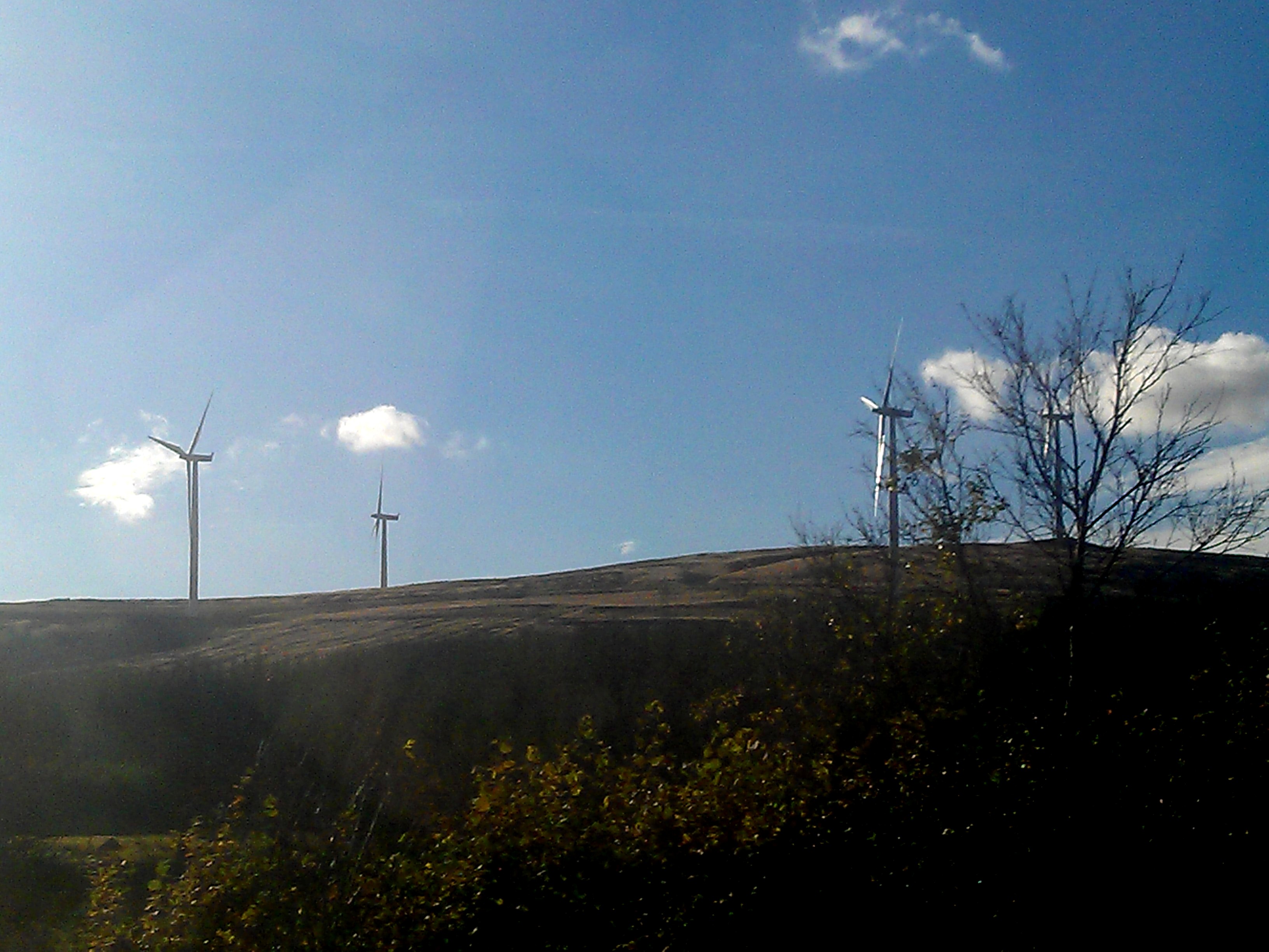
Clyde Wind Farm
The Clyde Wind Farm is a 522 megawatt (MW) wind farm near Abington in South Lanarkshire, Scotland. == Planning == The first stage of the project consists...
Crawford, South Lanarkshire
Crawford is a village and civil parish in South Lanarkshire, Scotland.Crawford is close to the source of the River Clyde and the A74(M) motorway, 50 miles...
Have you been to The Moor?
Leave your review of The Moor below (or comments, questions and feedback).