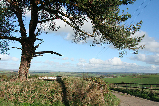
Lower Kingstree Moor
Downs, Moorland in Devon North Devon
England
Lower Kingstree Moor
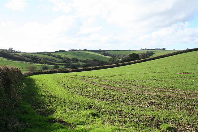
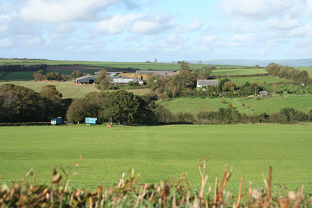
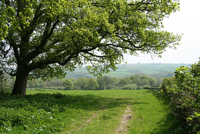
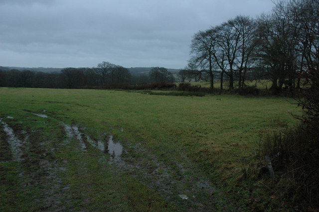
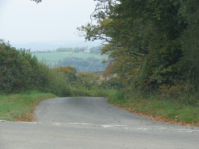
Lower Kingstree Moor is a picturesque area located in Devon, England. Situated on the southern edge of Dartmoor National Park, it is a popular destination for nature enthusiasts and hikers alike. The moorland landscape is characterized by rolling hills, heather-covered expanses, and scattered granite outcrops.
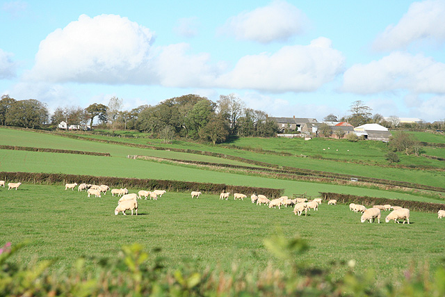
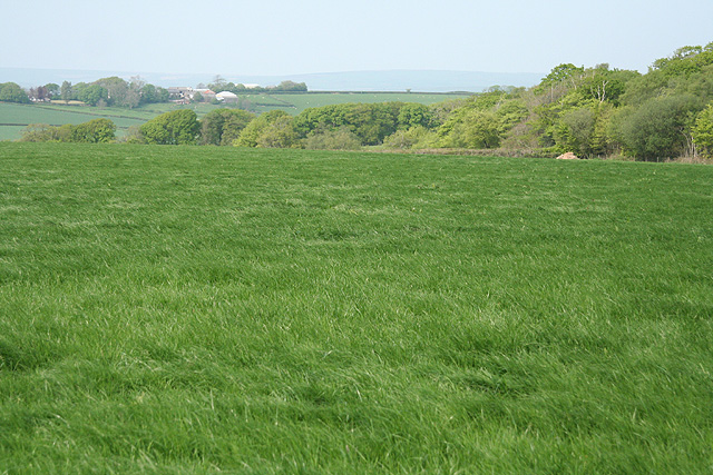
Covering an area of approximately 2,000 acres, Lower Kingstree Moor is a designated Site of Special Scientific Interest (SSSI) due to its rich biodiversity. The moorland is home to a variety of plant species, including bilberry, gorse, and cotton grass, which thrive in the acidic soil. The area also provides a vital habitat for several bird species, such as skylarks and stonechats, as well as a diverse range of insects and small mammals.
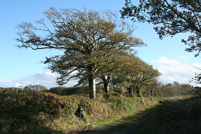
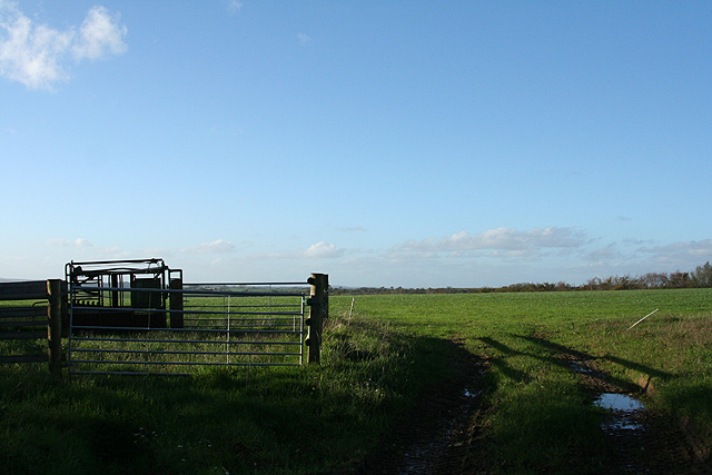
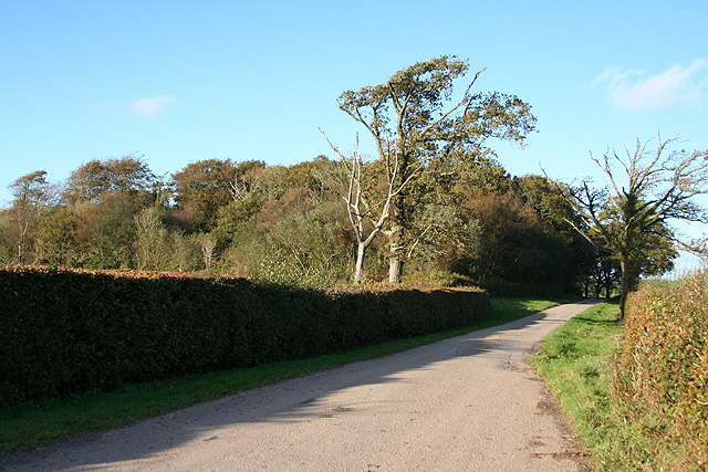
Visitors to Lower Kingstree Moor can enjoy a network of footpaths and bridleways that crisscross the area, allowing for exploration and appreciation of the stunning natural surroundings. The picturesque Taw River runs through the moorland, adding to its charm and providing opportunities for riverside walks and picnics.
The tranquility and unspoiled beauty of Lower Kingstree Moor make it an ideal destination for those seeking a peaceful escape from the hustle and bustle of everyday life. Whether it's taking in the panoramic views, observing the abundant wildlife, or simply enjoying a leisurely walk, this hidden gem offers a true taste of Devon's natural splendor.
If you have any feedback on the listing, please let us know in the comments section below.
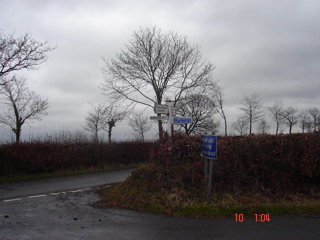
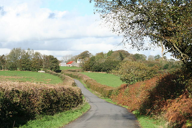
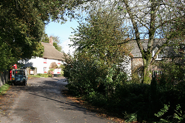
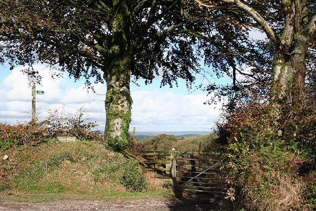
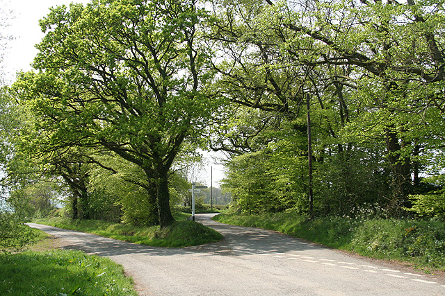
Lower Kingstree Moor Images
Images are sourced within 2km of 50.955288/-3.8291514 or Grid Reference SS7118. Thanks to Geograph Open Source API. All images are credited.
Lower Kingstree Moor is located at Grid Ref: SS7118 (Lat: 50.955288, Lng: -3.8291514)
Administrative County: Devon
District: North Devon
Police Authority: Devon and Cornwall
What 3 Words
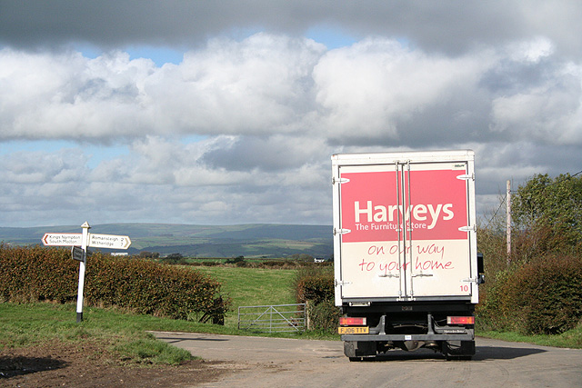
///demanding.conned.eclipses. Near Chulmleigh, Devon
Nearby Locations
Related Wikis

Romansleigh
Romansleigh is a village and civil parish in the North Devon district of Devon, England. It is surrounded clockwise from the north by the parishes of Mariansleigh...

Alswear
Alswear is a village in Devon, England, approximately 25 miles (40 km) northwest of Exeter. == References == == External links == Media related to Alswear...

Week, Devon
Week is a small village in the civil parish of Chulmleigh, in the North Devon district of Devon, England. Its nearest town is Chulmleigh, which lies approximately...

Queen's Nympton
Queen's Nympton or Queensnympton is a small civil parish in the North Devon district of Devon, England. According to the 2001 census it had a population...
Have you been to Lower Kingstree Moor?
Leave your review of Lower Kingstree Moor below (or comments, questions and feedback).