Lawers Acres

Downs, Moorland in Perthshire

Scotland

Lawers Acres

A827, eastbound The A827 is a cross-country route through the glens of central Scotland, running 35 miles along the entire length of Loch Tay, from Lix Toll to Ballinluig. 
<span class="nowrap"><a title="https://www.sabre-roads.org.uk/wiki/index.php?title=A827" rel="nofollow ugc noopener" href="https://www.sabre-roads.org.uk/wiki/index.php?title=A827">Link</a><img style="margin-left:2px;" alt="External link" title="External link - shift click to open in new window" src="https://s1.geograph.org.uk/img/external.png" width="10" height="10"/></span>
A827, eastbound Credit: N Chadwick

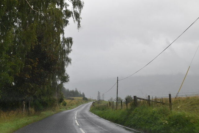
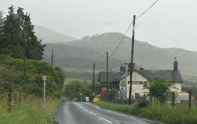
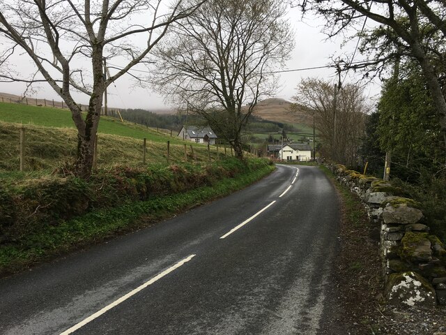
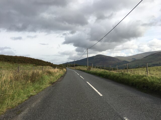
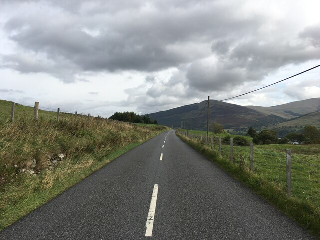
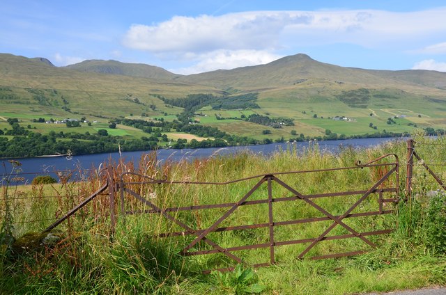
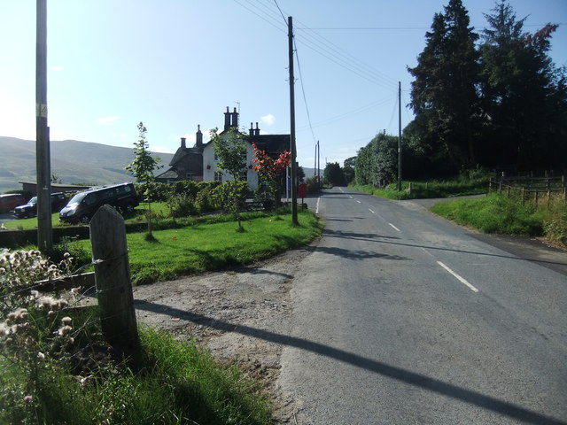
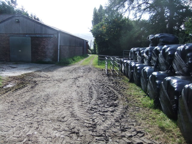
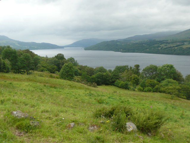
Lawers Acres is a picturesque area located in Perthshire, Scotland, known for its stunning downs and moorland landscapes. Situated amidst the breathtaking scenery of the Scottish Highlands, this tranquil destination attracts nature enthusiasts and outdoor adventurers alike.

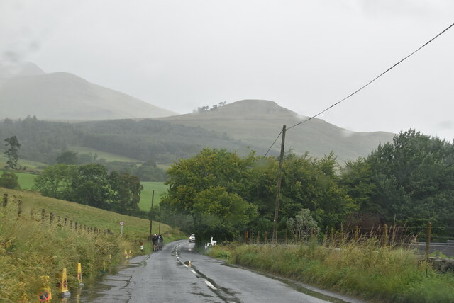
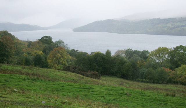
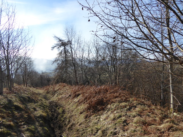
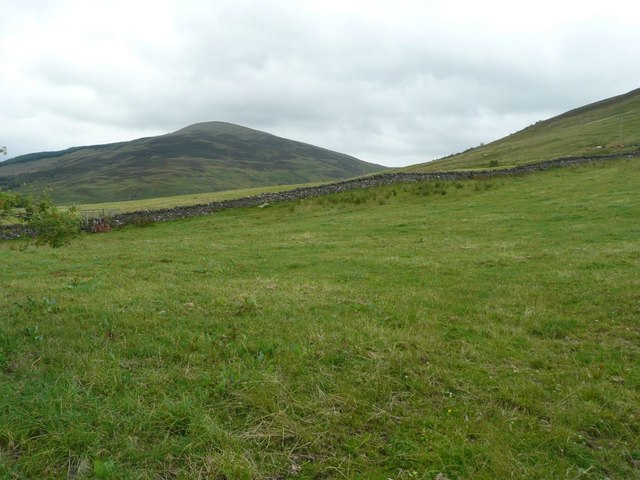
The downs of Lawers Acres boast vast expanses of rolling hills and open grasslands. Visitors can indulge in long walks or hikes, enjoying panoramic views of the surrounding countryside. The undulating terrain is dotted with wildflowers during the spring and summer months, creating a vibrant and colorful backdrop.

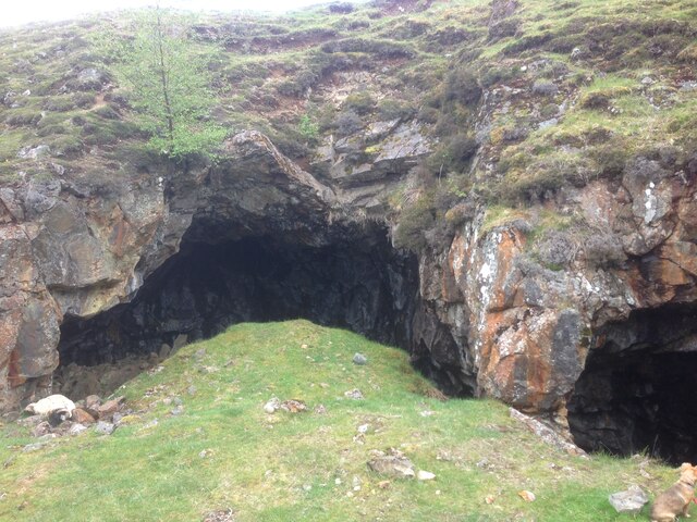
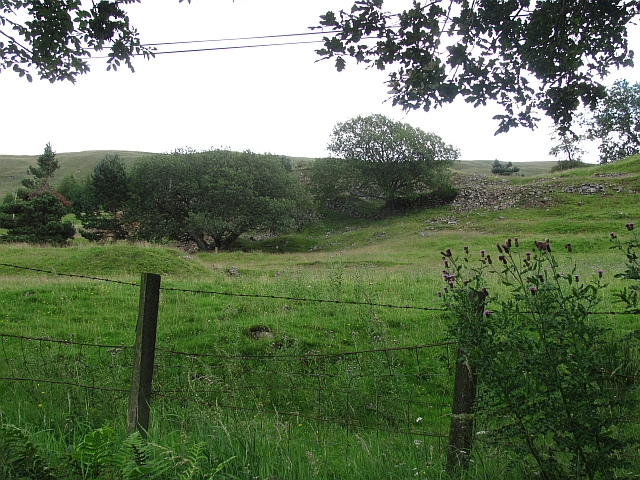
The moorland of Lawers Acres is equally captivating, with its rugged beauty and unique ecosystem. This vast expanse of open land offers a haven for a variety of wildlife species, including red deer, grouse, and golden eagles. Birdwatchers will be delighted by the opportunity to spot rare and elusive species nesting in the moorland.

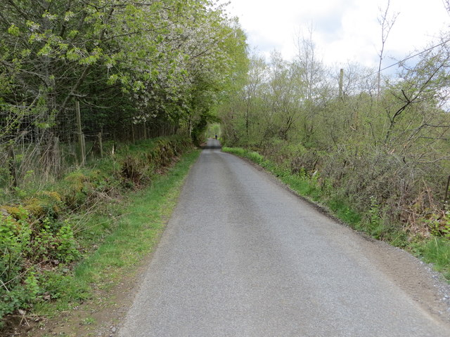
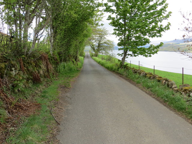
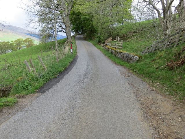
Lawers Acres is also home to several walking trails and nature reserves, providing visitors with ample opportunities to explore and immerse themselves in the natural wonders of the area. The Lawers Nature Reserve, in particular, offers guided walks and interpretive displays, allowing visitors to learn more about the local flora and fauna.

For those seeking a peaceful retreat surrounded by unspoiled nature, Lawers Acres in Perthshire is a must-visit destination. With its stunning downs and moorland, this idyllic location offers a respite from the hustle and bustle of everyday life and a chance to reconnect with the beauty of the natural world.

If you have any feedback on the listing, please let us know in the comments section below.

Lawers Acres Images

Images are sourced within 2km of 56.527758/-4.1473682 or Grid Reference NN6839. Thanks to Geograph Open Source API. All images are credited.

A827, eastbound The A827 is a cross-country route through the glens of central Scotland, running 35 miles along the entire length of Loch Tay, from Lix Toll to Ballinluig. 
<span class="nowrap"><a title="https://www.sabre-roads.org.uk/wiki/index.php?title=A827" rel="nofollow ugc noopener" href="https://www.sabre-roads.org.uk/wiki/index.php?title=A827">Link</a><img style="margin-left:2px;" alt="External link" title="External link - shift click to open in new window" src="https://s1.geograph.org.uk/img/external.png" width="10" height="10"/></span>
A827, eastbound
The A827 is a cross-country route through the glens of central Scotland, running 35 miles along the entire length of Loch Tay, from Lix Toll to Ballinluig. LinkExternal link
A827 near The Lawers Hotel The A827 is a cross-country route through the glens of central Scotland, running 35 miles along the entire length of Loch Tay, from Lix Toll to Ballinluig. 
<span class="nowrap"><a title="https://www.sabre-roads.org.uk/wiki/index.php?title=A827" rel="nofollow ugc noopener" href="https://www.sabre-roads.org.uk/wiki/index.php?title=A827">Link</a><img style="margin-left:2px;" alt="External link" title="External link - shift click to open in new window" src="https://s1.geograph.org.uk/img/external.png" width="10" height="10"/></span>
A827 near The Lawers Hotel
The A827 is a cross-country route through the glens of central Scotland, running 35 miles along the entire length of Loch Tay, from Lix Toll to Ballinluig. LinkExternal link
A dull, wet day on the A827 The A827 is a cross-country route through the glens of central Scotland, running 35 miles along the entire length of Loch Tay, from Lix Toll to Ballinluig. 
<span class="nowrap"><a title="https://www.sabre-roads.org.uk/wiki/index.php?title=A827" rel="nofollow ugc noopener" href="https://www.sabre-roads.org.uk/wiki/index.php?title=A827">Link</a><img style="margin-left:2px;" alt="External link" title="External link - shift click to open in new window" src="https://s1.geograph.org.uk/img/external.png" width="10" height="10"/></span>
A dull, wet day on the A827
The A827 is a cross-country route through the glens of central Scotland, running 35 miles along the entire length of Loch Tay, from Lix Toll to Ballinluig. LinkExternal link
A827 at Lawers
A827 at Lawers
A827 towards Kenmore
Roadside view to Loch Tay From the minor road near Ardtullich looking across the loch to Meall Greigh (1001m) and the valley of the Lawers Burn.
Roadside view to Loch Tay
From the minor road near Ardtullich looking across the loch to Meall Greigh (1001m) and the valley of the Lawers Burn.
Lawers Hotel
Lawers Hotel
Rough grazing near Ardtalnaig Looking along Loch Tay.
Rough grazing near Ardtalnaig
Looking along Loch Tay.
Road between Ardtalnaig and Ardtullich Looking south-westward.
Road between Ardtalnaig and Ardtullich
Looking south-westward.
Road near to Ardtullich Looking south-westward.
Road near to Ardtullich
Looking south-westward.
Road between Wester Tullich and Ardtullich Looking north-eastward.
Road between Wester Tullich and Ardtullich
Looking north-eastward.
Disused Mines - Tomnadashan Copper Mine
Path above Machuim The path provides access to the Ben Lawers National Nature Reserve.
Path above Machuim
The path provides access to the Ben Lawers National Nature Reserve.
Farm building at Machuim
Pasture above Ardtalnaig Meall nan Oighreag in the distance.
Pasture above Ardtalnaig
Meall nan Oighreag in the distance.
Looking up Loch Tay  Over rough grazing from south west of Ardtalnaig.
Looking up Loch Tay
Over rough grazing from south west of Ardtalnaig.
Tomnadashan mine Trees surround the site of a copper mine.
Tomnadashan mine
Trees surround the site of a copper mine.
Show me another place!

Lawers Acres is located at Grid Ref: NN6839 (Lat: 56.527758, Lng: -4.1473682)

Unitary Authority: Perth and Kinross

Police Authority: Tayside

What 3 Words

///gear.distorts.generals. Near Aberfeldy, Perth & Kinross

Nearby Locations

Lawers Acres

Related Wikis

Lawers

Lawers is a village situated in rural Perthshire, Scotland. It lies on the banks of Loch Tay and at the foot of Ben Lawers. It was once part of a vibrant...

Loch Tay

Loch Tay (Scottish Gaelic: Loch Tatha) is a freshwater loch in the central highlands of Scotland, in the Perth and Kinross and Stirling council areas....

Tomnadashan

Tomnadashan was a hamlet southwest of Ardtalnaig in Scotland. John Campbell, 2nd Marquess of Breadalbane tried to mine copper, gold, and sulphur there...

Ardtalnaig

Ardtalnaig (; Àird Talanaig) is a hamlet on the south shore of Loch Tay in Perth and Kinross in Scotland. It is approximately 6 miles (10 km) from Kenmore...

Ardeonaig

Ardeonaig (Gaelic: Aird Eòdhanaig) is a hamlet on the southern shore of Loch Tay in the Stirling Council area of Scotland. It is approximately 7 miles...

Meall Greigh

Meall Greigh is a mountain in the southern part of the Scottish Highlands. With Meall Garbh it forms the north-eastern end of the Ben Lawers range. �...

Ben Lawers

Ben Lawers (Scottish Gaelic: Beinn Labhair) is the highest mountain in the Breadalbane region of the Scottish Highlands. It lies north of Loch Tay and...

An Stùc

An Stùc, meaning "The Peak" in Gaelic, is a conically shaped Scottish mountain in the Ben Lawers range to the north of Loch Tay. It has been listed as...

Nearby Amenities

Located within 500m of 56.527758,-4.1473682
Lawers
Is In: Scotland
Name Gd: Labhar
Place: hamlet
Lat/Long: 56.5286656/-4.1528718
Old Lawers Village
Lat/Long: 56.5286095/-4.1412952
Telephone
Booth: K6
Covered: booth
Man Made: telephone_box
Source: survey
Lat/Long: 56.5288584/-4.1520237
Bus Stop
Lawers, Hotel
Naptan AtcoCode: 64801779
Naptan NaptanCode: 73726935
Lat/Long: 56.5293292/-4.1519908
Restaurant
Lat/Long: 56.5290542/-4.1518299
Power: pole
Lat/Long: 56.5288071/-4.1548907
Material: wood
Power: pole
Lat/Long: 56.5284406/-4.1524636
Material: wood
Power: pole
Lat/Long: 56.528176/-4.1526711
Power: pole
Lat/Long: 56.528336/-4.1532237
Power: pole
Lat/Long: 56.5285725/-4.1540295
Material: wood
Power: pole
Lat/Long: 56.5266716/-4.1539334
Material: wood
Power: pole
Lat/Long: 56.5270436/-4.153621
Material: wood
Power: pole
Lat/Long: 56.5273311/-4.1533845
Material: wood
Power: pole
Lat/Long: 56.5277418/-4.1530389
Material: wood
Power: pole
Lat/Long: 56.5288701/-4.1522036
Power: pole
Lat/Long: 56.5292748/-4.1521112
Power: pole
Lat/Long: 56.5295275/-4.1518654
Power: pole
Lat/Long: 56.5298557/-4.15159
Power: pole
Lat/Long: 56.5302012/-4.15125
Milton
Name Gd: Baile Mhuilinn
Place: hamlet
Lat/Long: 56.5320503/-4.1488468
Post Box
Post Box Type: lamp
Royal Cypher: scottish_crown
Lat/Long: 56.5293896/-4.1519431
The data included in this document is from www.openstreetmap.org. The data is made available under ODbL.

Have you been to Lawers Acres?

Leave your review of Lawers Acres below (or comments, questions and feedback).