Stowford Moor
Downs, Moorland in Devon Torridge
England
Stowford Moor
Stowford Moor is a picturesque area located in the county of Devon, England. Situated on the eastern edge of Dartmoor National Park, it is a diverse landscape encompassing both downs and moorland. Covering an area of approximately 500 hectares, Stowford Moor is a haven for nature enthusiasts and outdoor adventurers.
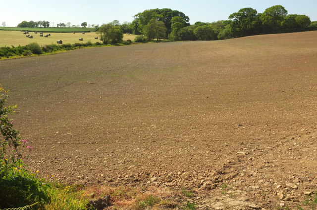
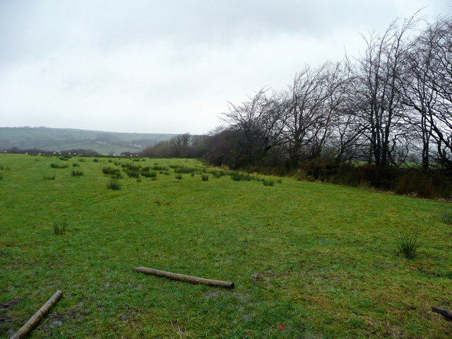
The downs of Stowford Moor are characterized by rolling hills and wide open spaces. The grassy slopes are interspersed with patches of heather and gorse, creating a vibrant tapestry of colors throughout the year. Visitors can enjoy leisurely walks or picnics on the downs, taking in the breathtaking panoramic views of the surrounding countryside.
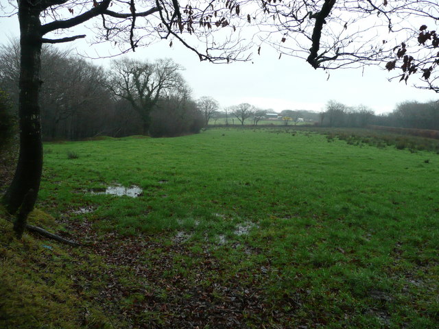
The moorland section of Stowford Moor offers a contrasting experience, with its rugged terrain and wild beauty. Here, visitors can explore vast expanses of open moorland, dotted with granite tors and ancient stone circles. The moor is home to a rich variety of flora and fauna, including wild ponies, sheep, and numerous species of birds.
Stowford Moor is also known for its archaeological significance, with various prehistoric remains scattered throughout the area. Stone rows, hut circles, and ancient burial sites offer glimpses into the region's long and fascinating history.
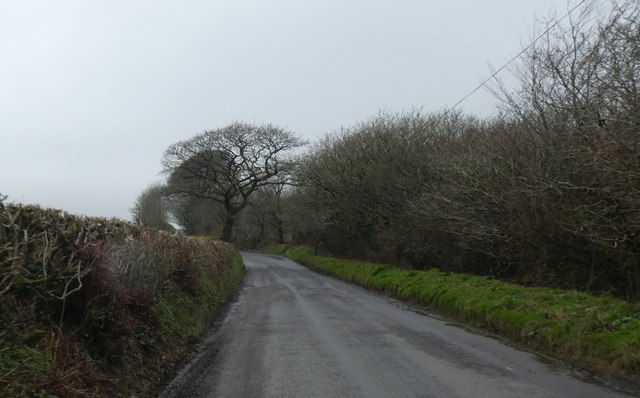
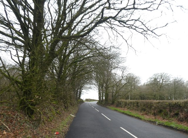
The accessibility of Stowford Moor makes it a popular destination for both locals and tourists alike. It offers ample parking facilities and well-maintained footpaths, ensuring a safe and enjoyable experience for visitors of all ages. Whether one seeks solitude and tranquility or an active outdoor adventure, Stowford Moor has something to offer everyone.
If you have any feedback on the listing, please let us know in the comments section below.
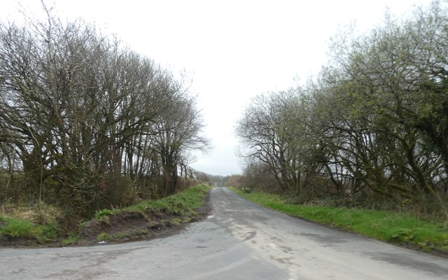
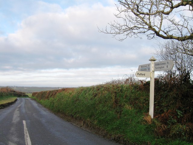
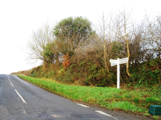
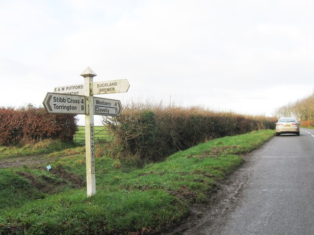
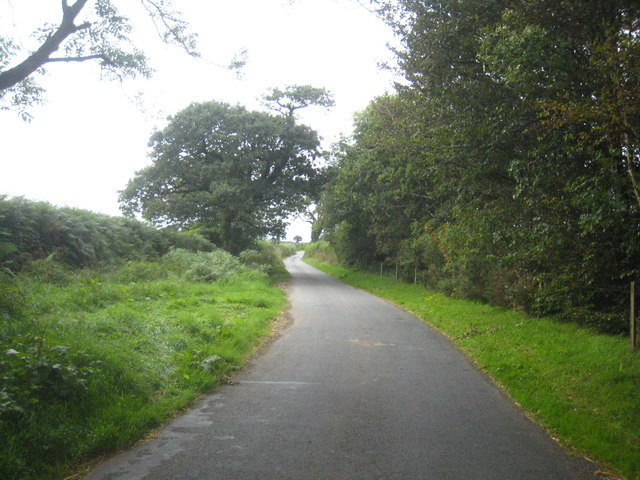
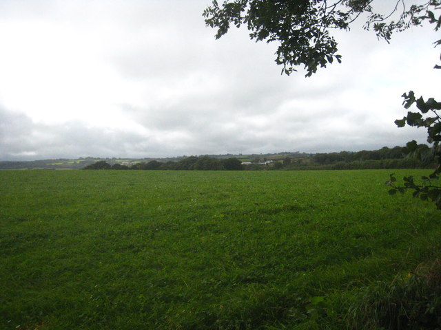
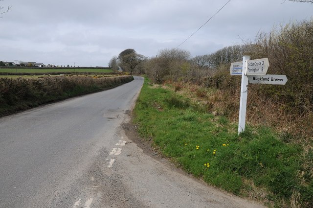
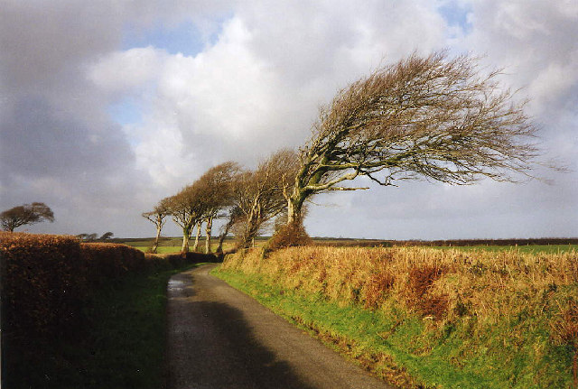
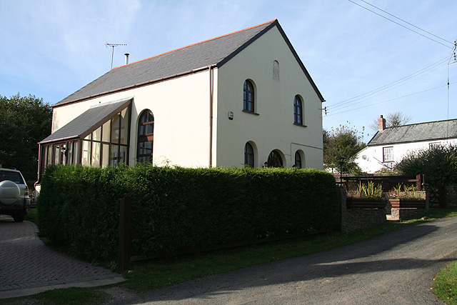
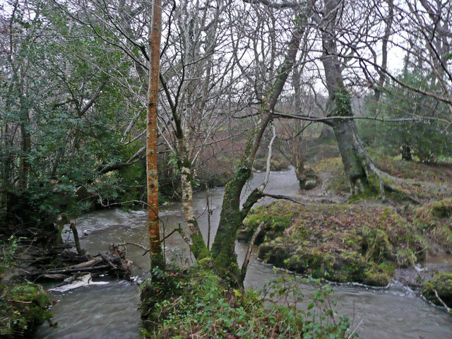
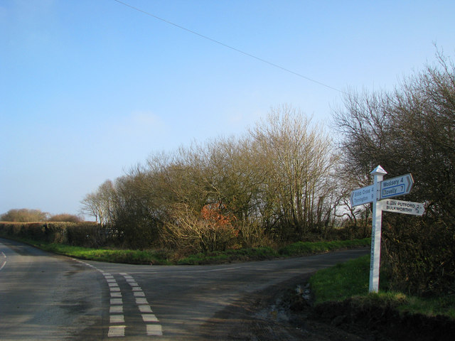
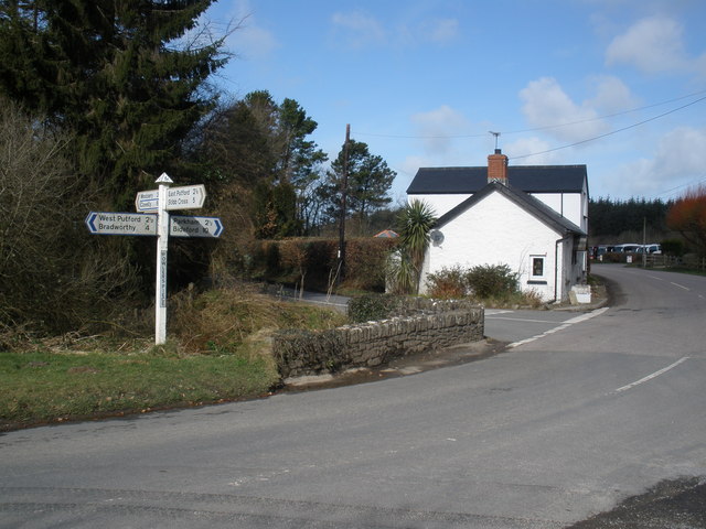
Stowford Moor Images
Images are sourced within 2km of 50.922747/-4.292339 or Grid Reference SS3816. Thanks to Geograph Open Source API. All images are credited.

Stowford Moor is located at Grid Ref: SS3816 (Lat: 50.922747, Lng: -4.292339)
Administrative County: Devon
District: Torridge
Police Authority: Devon and Cornwall
What 3 Words
///ticking.airfields.inspects. Near Great Torrington, Devon
Nearby Locations
Related Wikis

West Putford
West Putford is a small settlement and civil parish in the local government district of Torridge, Devon, England. The parish, which lies about 8.5 miles...
East Putford
East Putford is a small settlement and civil parish in the local government district of Torridge, Devon, England. The parish, which lies about halfway...

Bulkworthy
Bulkworthy is a village and civil parish in the Torridge district of Devon, England, about 9 miles southwest of Great Torrington, and on the River Torridge...

Abbots Bickington
Abbots Bickington is a village and civil parish in the English county of Devon, located 7.7 mi (12.4 km) north-northeast of Holsworthy and near the River...
Have you been to Stowford Moor?
Leave your review of Stowford Moor below (or comments, questions and feedback).