Emblance Downs
Downs, Moorland in Cornwall
England
Emblance Downs
Emblance Downs, located in Cornwall, England, is a picturesque expanse of moorland that stretches across approximately 500 acres. Situated within the larger Bodmin Moor area, it offers visitors a unique opportunity to explore the rugged beauty of the region.
The landscape of Emblance Downs is characterized by rolling hills, heather-covered moorland, and scattered granite outcrops. The area is renowned for its rich biodiversity, boasting a variety of flora and fauna. Visitors can expect to encounter a range of bird species, including skylarks and buzzards, as well as small mammals like rabbits and voles.
The moorland offers several walking trails, allowing visitors to immerse themselves in the natural beauty of the area. The paths wind through the heather-clad hills, offering panoramic views of the surrounding countryside. Additionally, Emblance Downs is intersected by a small river, providing a tranquil spot for picnicking or simply enjoying the peaceful ambiance.
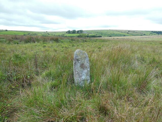
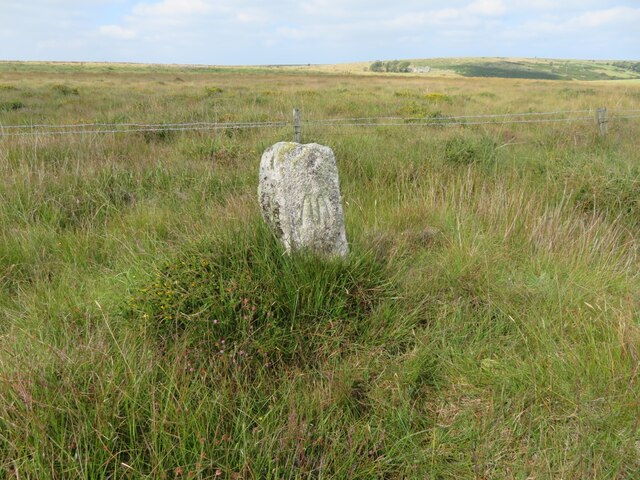
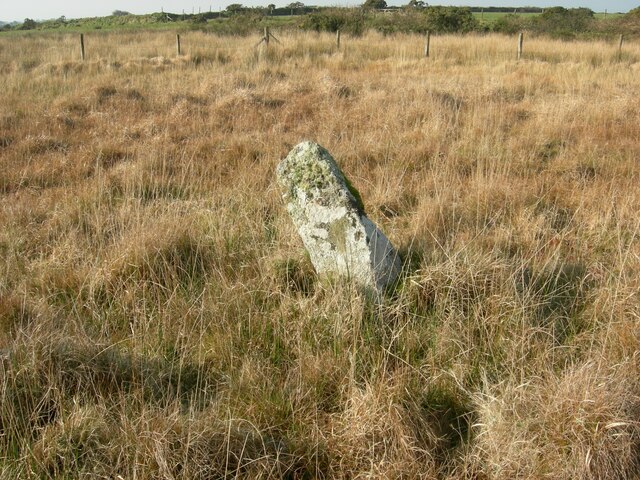
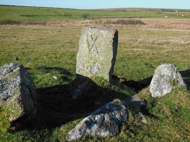
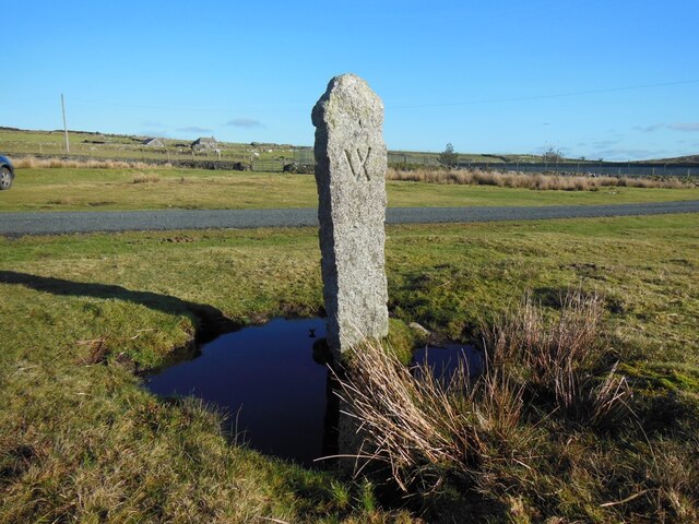
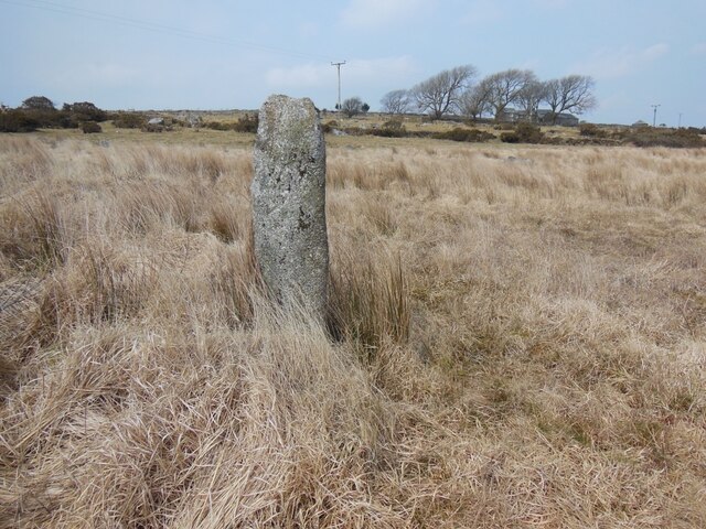
As a designated Area of Outstanding Natural Beauty, Emblance Downs is protected and managed by local conservation organizations. This ensures that the moorland remains unspoiled and accessible for future generations to enjoy. The area is also of historical significance, with evidence of prehistoric settlements and ancient stone circles scattered throughout the landscape.
Overall, Emblance Downs offers visitors a chance to escape the hustle and bustle of modern life and immerse themselves in the raw beauty of Cornwall's moorland. Whether it's hiking, birdwatching, or simply enjoying the peaceful atmosphere, this stunning natural landscape is sure to captivate all who visit.
If you have any feedback on the listing, please let us know in the comments section below.
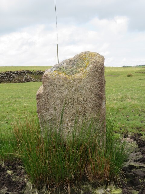
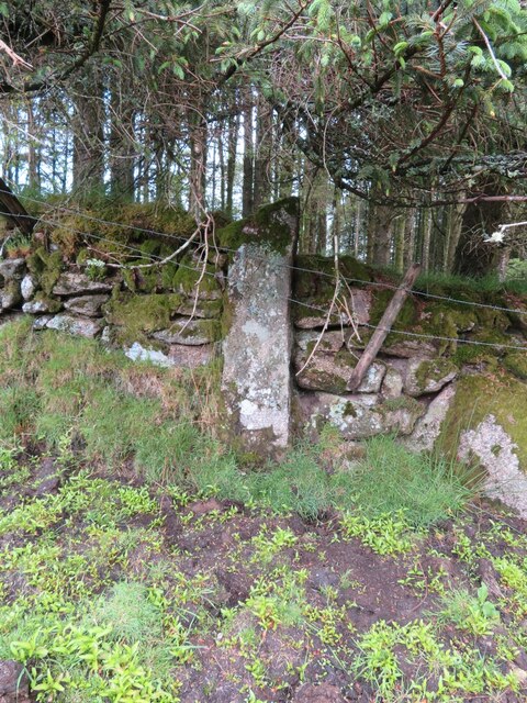
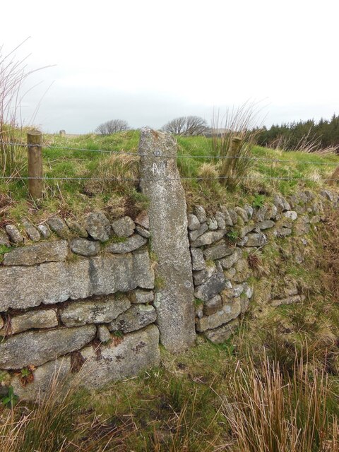
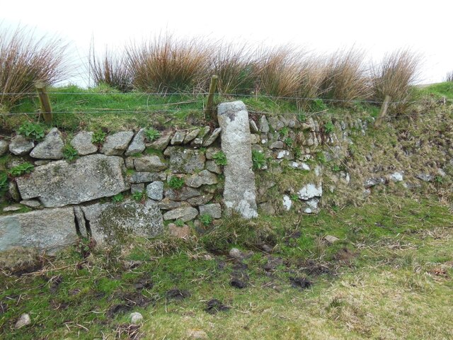
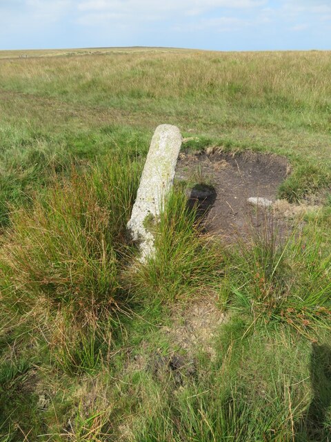
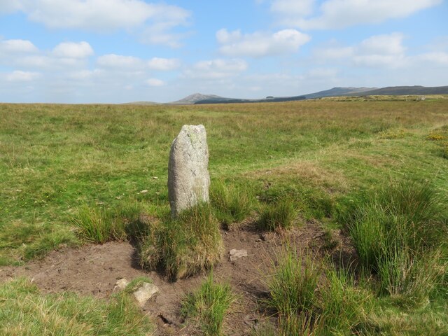
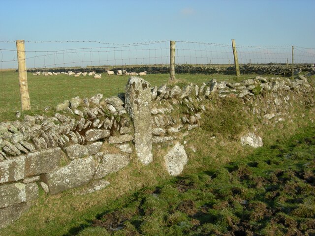
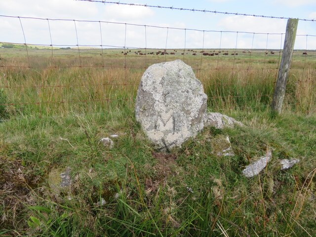
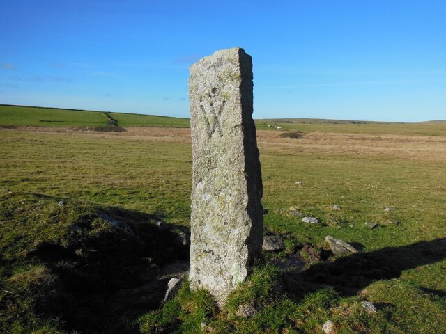
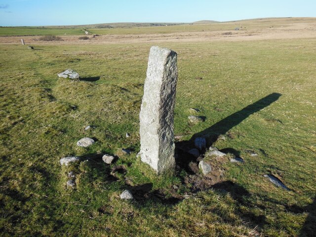
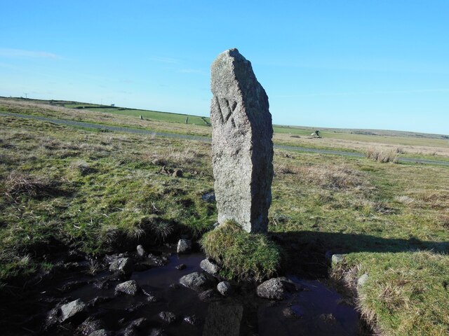
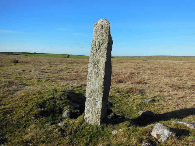
Emblance Downs Images
Images are sourced within 2km of 50.564487/-4.6466935 or Grid Reference SX1277. Thanks to Geograph Open Source API. All images are credited.
Emblance Downs is located at Grid Ref: SX1277 (Lat: 50.564487, Lng: -4.6466935)
Unitary Authority: Cornwall
Police Authority: Devon and Cornwall
What 3 Words
///activism.forgotten.squirts. Near Camelford, Cornwall
Nearby Locations
Related Wikis
King Arthur's Hall
King Arthur's Hall is a megalithic enclosure on Bodmin Moor in Cornwall, England. It is thought to be a late Neolithic or early Bronze Age ceremonial site...

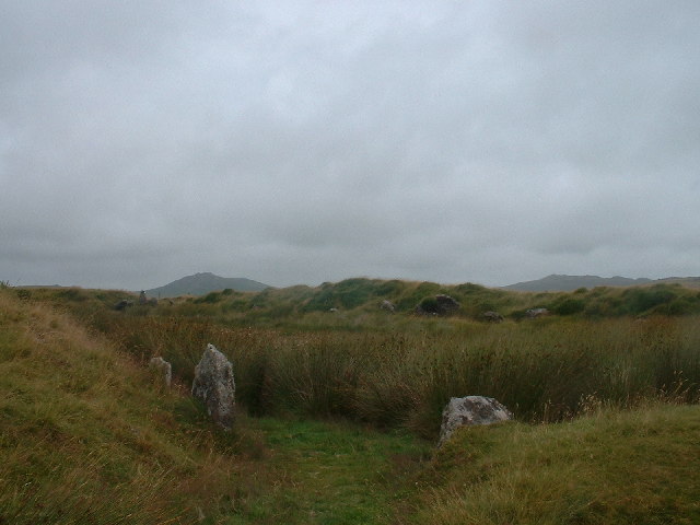
Emblance Downs stone circles
Emblance Downs stone circles are a pair of stone circles located in the parish of St. Breward on Bodmin Moor in Cornwall, England. == Description == The...

Leaze stone circle
Leaze stone circle is a stone circle located in the parish of St. Breward on Bodmin Moor in Cornwall, UK (grid reference SX13667728). == Description... ==
Bradford, Cornwall
Bradford is a hamlet in the county of Cornwall, England, UK, 10.3 km north-northeast of the town of Bodmin, north of the A30 road. Bradford is in the valley...
Nearby Amenities
Located within 500m of 50.564487,-4.6466935Have you been to Emblance Downs?
Leave your review of Emblance Downs below (or comments, questions and feedback).