Easton Cliffs
Cliff, Slope in Suffolk East Suffolk
England
Easton Cliffs
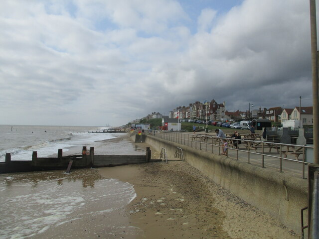
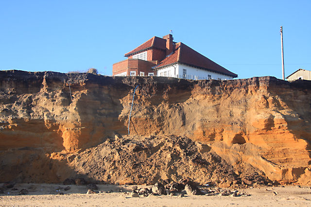
Easton Cliffs, located in Suffolk, England, is a prominent coastal feature that stretches along the eastern shoreline of the county. With its picturesque landscape and geological significance, it attracts both nature enthusiasts and geologists alike.
These cliffs are composed of sedimentary rocks, primarily consisting of sand and clay. The layers of rock reveal a fascinating history of the area, spanning millions of years. Geologists have identified various fossilized remains, including ancient mollusks and marine creatures, which provide valuable insights into the region's prehistoric past.
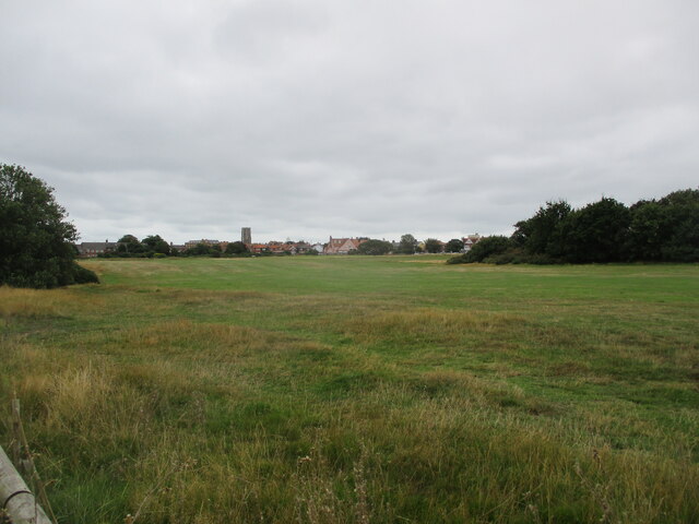
The cliffs themselves rise to an impressive height, reaching up to 30 meters in certain areas. They offer panoramic views of the North Sea and have become a popular spot for hiking and birdwatching. The diverse range of plant and animal species found here enhances the area's ecological significance.
Due to the exposure to coastal erosion, the cliffs are subject to ongoing geological processes. Erosion has shaped the landscape over time, resulting in the formation of caves, arches, and other distinctive features. It is advisable for visitors to exercise caution when exploring the cliffs, as their unstable nature may pose potential risks.
Easton Cliffs is not only a natural wonder but also holds historical significance. It is believed that ancient settlements existed on these cliffs, with remnants of prehistoric human activity discovered in the surrounding areas.
In conclusion, Easton Cliffs in Suffolk offer a captivating blend of geological, ecological, and historical features. Its breathtaking landscape and rich heritage make it an ideal destination for both nature lovers and those interested in uncovering the secrets of the past.
If you have any feedback on the listing, please let us know in the comments section below.
Easton Cliffs Images
Images are sourced within 2km of 52.343141/1.6887744 or Grid Reference TM5178. Thanks to Geograph Open Source API. All images are credited.


Easton Cliffs is located at Grid Ref: TM5178 (Lat: 52.343141, Lng: 1.6887744)
Administrative County: Suffolk
District: East Suffolk
Police Authority: Suffolk
What 3 Words
///covers.fresh.husky. Near Southwold, Suffolk
Nearby Locations
Related Wikis
Easton Bavents
Easton Bavents is a hamlet and former civil parish, now in the parish of Reydon, in the East Suffolk district of the county of Suffolk, England. Once an...

Reydon
Reydon is a village and civil parish, 1.0 mile (1.6 km) north-west of Southwold and 2.5 miles (4.0 km) south-east of Wangford, in the East Suffolk district...

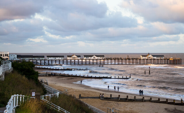
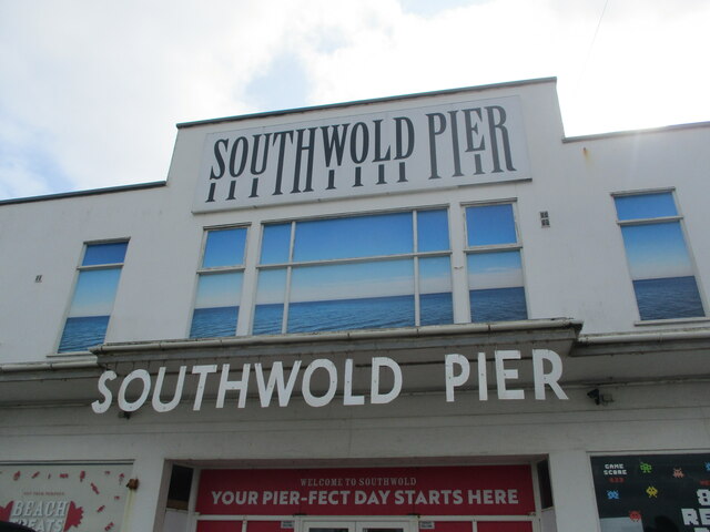
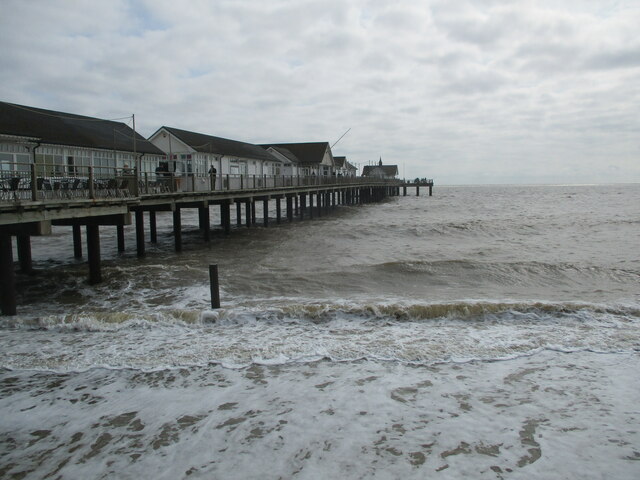
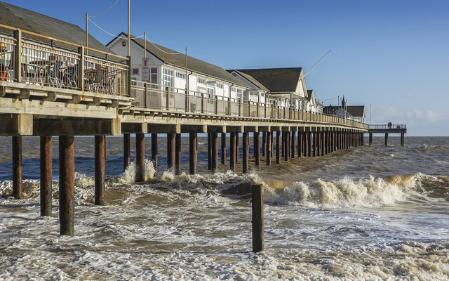
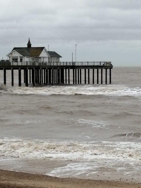
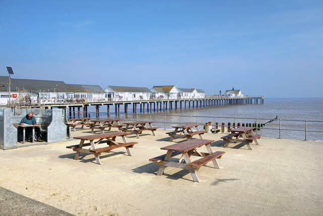
Southwold Pier
Southwold Pier is a pier in the coastal town of Southwold in the English county of Suffolk. It is on the northern edge of the town and extends 190 metres...

Southwold railway station
Southwold railway station was located in Southwold, Suffolk. It closed in 1929, 50 years after it had opened for passenger traffic. The station was demolished...

St Edmund's Church, Southwold
St Edmund's Church, Southwold is a Grade I listed parish church in the Church of England in Southwold, Suffolk. == History == The parish church of Southwold...

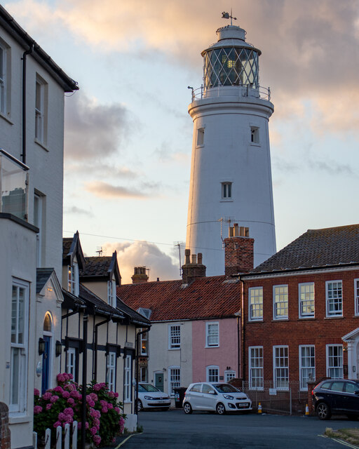
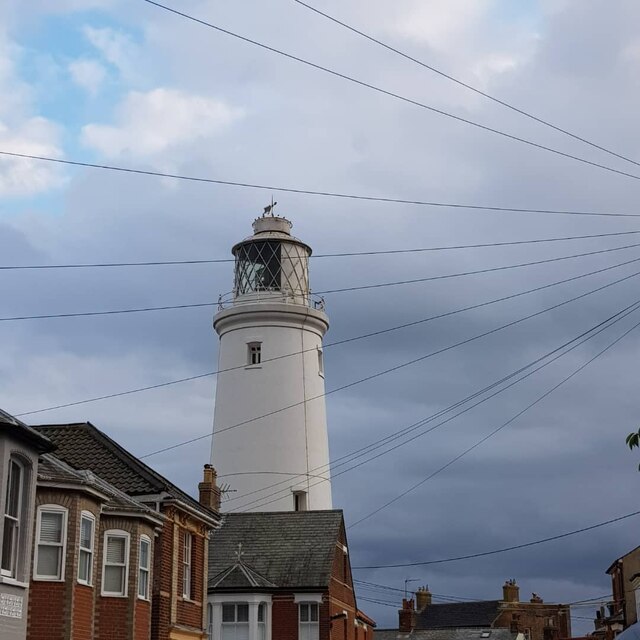
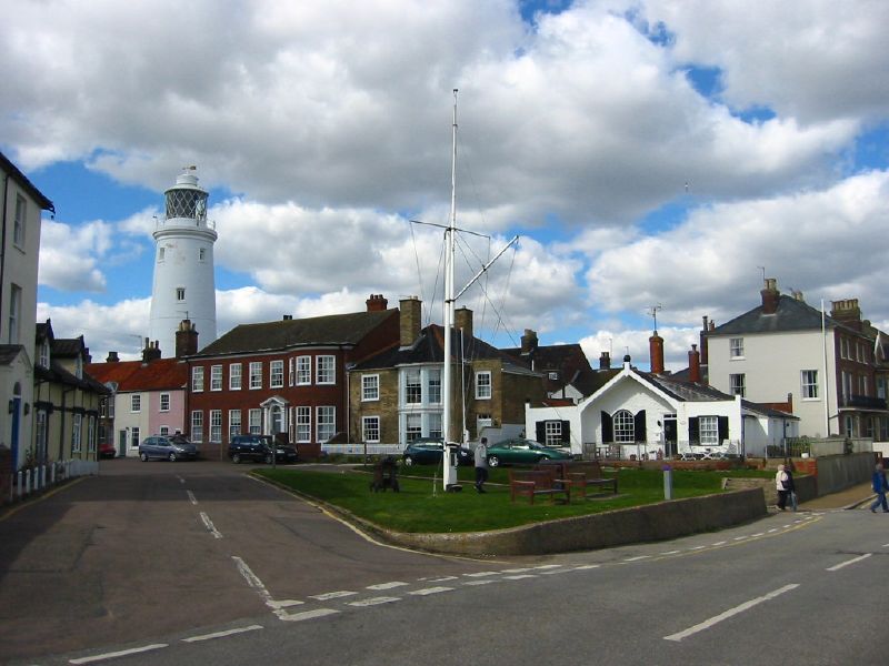
Southwold Lighthouse
Southwold Lighthouse is a lighthouse operated by Trinity House in the centre of Southwold in Suffolk, England. It stands on the North Sea coast, acting...
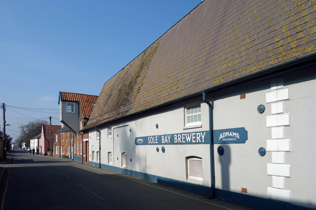
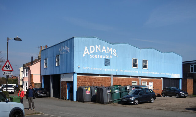
Adnams
Adnams is a regional brewery founded in 1872 in Southwold, Suffolk, England, by George and Ernest Adnams. It produces cask ale and bottled beers. Annual...
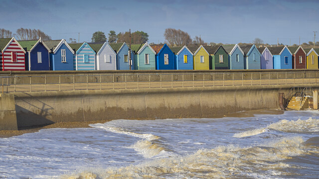
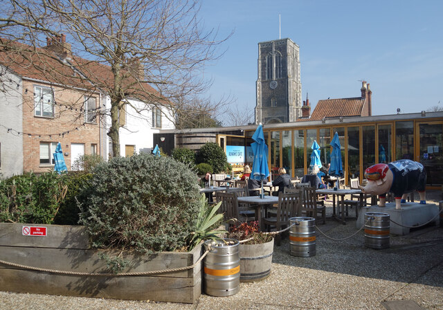
Southwold
Southwold is a seaside town on the North Sea in Suffolk, England. It lies at the mouth of the River Blyth in the Suffolk Coast and Heaths Area of Outstanding...
Nearby Amenities
Located within 500m of 52.343141,1.6887744Have you been to Easton Cliffs?
Leave your review of Easton Cliffs below (or comments, questions and feedback).