Haining Head
Landscape Feature in Northumberland
England
Haining Head
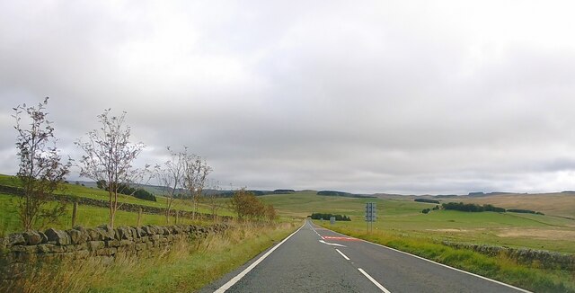
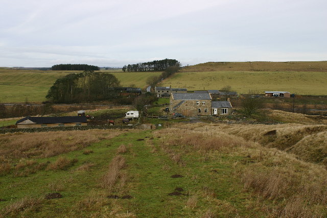
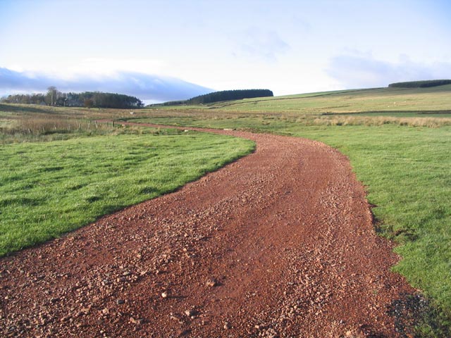
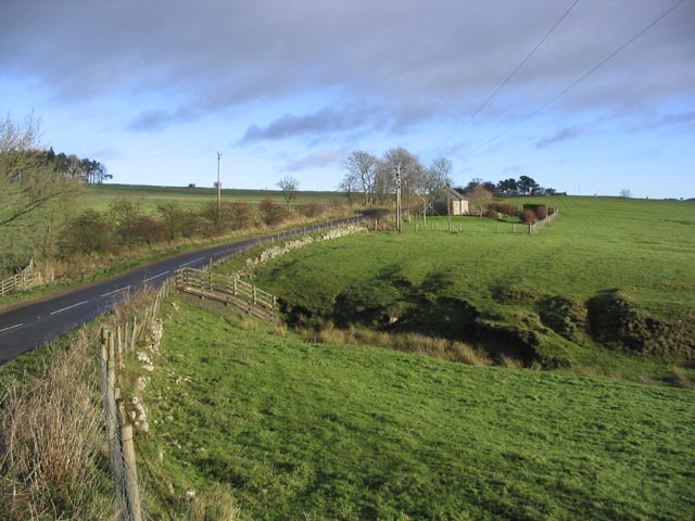
Haining Head is a prominent landscape feature located in the county of Northumberland, England. Situated in the heart of the North Pennines Area of Outstanding Natural Beauty, it offers stunning views and ample opportunities for outdoor activities.
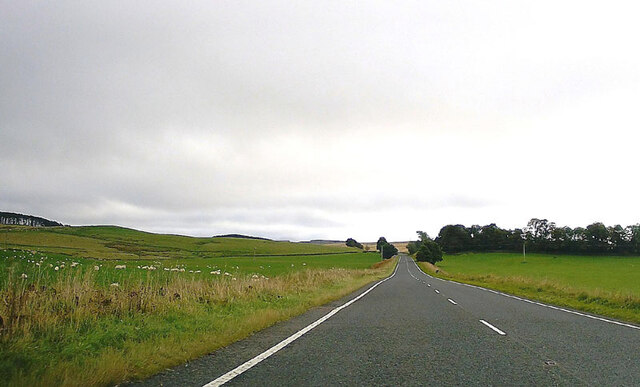
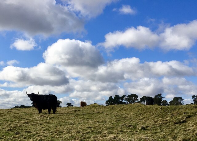
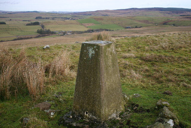
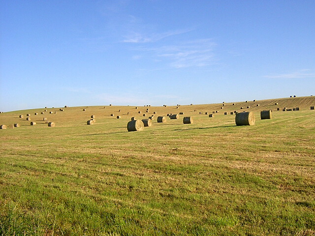
Rising to an elevation of 482 meters (1,581 feet), Haining Head is a notable hill in the region. Its distinctive shape and commanding presence make it a popular destination for hikers, nature enthusiasts, and photographers. The hill is characterized by its gentle slopes and grassy terrain, which are often dotted with sheep grazing peacefully.
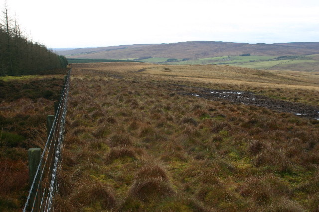
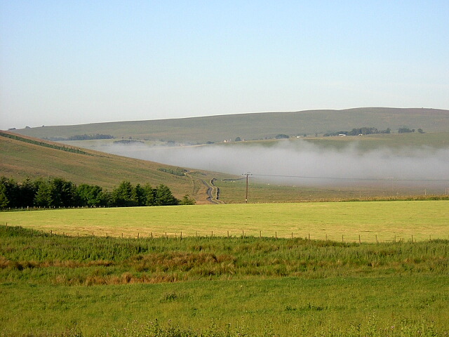
The summit of Haining Head provides panoramic vistas of the surrounding countryside, including the picturesque valleys, rolling hills, and the nearby Northumberland National Park. On clear days, it is possible to see as far as the Cheviot Hills, the Scottish Borders, and even the North Sea.
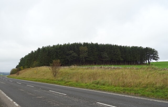
The area around Haining Head is rich in flora and fauna, with heather moorland covering much of the landscape. This creates a diverse habitat for numerous bird species, including red grouse and curlews, as well as various mammals like hares, rabbits, and foxes.
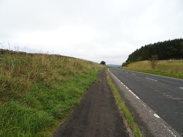
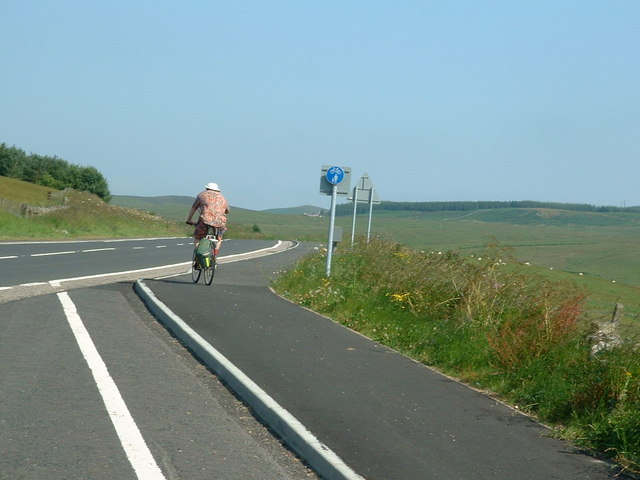
Haining Head is also home to several walking trails, offering visitors the chance to explore the area at their own pace. These routes range in difficulty, catering to both seasoned walkers and those seeking a more leisurely stroll. The hill's accessibility and natural beauty make it a popular destination for both locals and tourists alike, all year round.
In conclusion, Haining Head is a prominent and picturesque landscape feature in Northumberland, offering breathtaking views, diverse wildlife, and a range of outdoor activities for visitors to enjoy.
If you have any feedback on the listing, please let us know in the comments section below.
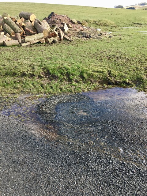
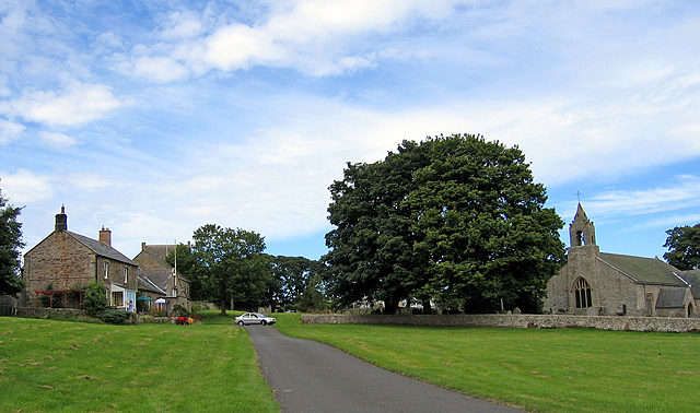
Haining Head Images
Images are sourced within 2km of 55.224419/-2.1249143 or Grid Reference NY9292. Thanks to Geograph Open Source API. All images are credited.
Haining Head is located at Grid Ref: NY9292 (Lat: 55.224419, Lng: -2.1249143)
Unitary Authority: Northumberland
Police Authority: Northumbria
What 3 Words
///matchbox.washroom.invoices. Near Otterburn, Northumberland
Nearby Locations
Related Wikis

Elsdon, Northumberland
Elsdon is a village and civil parish in the English county of Northumberland about 10 miles (16 km) to the southwest of Rothbury. The name is derived from...

Redesdale Studios
Redesdale Studios was a Northumberland recording studio founded in 1996. It was situated in Elsdon in North Northumberland. It began as a partnership between...
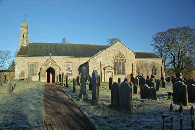
St Cuthbert's Church, Elsdon
St Cuthbert's Church is located in Elsdon, Alnwick, northeast England. The church was one of the resting places of St. Cuthbert's body in the wanderings...

Elsdon Tower
Elsdon Tower is a Grade I listed medieval tower house converted for use as a Rectory situated at Elsdon, Northumberland. Originally part of the estate...

Elsdon Castle
Elsdon Castle is a castle in the village of Elsdon about 10 miles (16 km) to the southwest of Rothbury, in Northumberland, England, and also known as Mote...

Great Northumberland Forest
The Great Northumberland Forest is a proposed new forest in the north of England. Announced in September 2019, it is intended that up to a million trees...
Otterburn Tower
Otterburn Tower (sometimes spelled Otiburne; originally Otterburn Castle; currently Otterburn Tower Hotel) is a Grade II listed castellated, three star...

Otterburn Mill
Otterburn Mill is a former textile mill in Otterburn, Northumberland, northeast England. It lies just south of the Otterburn Tower along the A696 road...
Related Videos

Van Camping Trip - 1st night Elsdon
Oldest Friend and I are on a van/car camping trip heading up to Scotland. We visited Hadrian's Wall and a tree from the film Prince ...
Nearby Amenities
Located within 500m of 55.224419,-2.1249143Have you been to Haining Head?
Leave your review of Haining Head below (or comments, questions and feedback).