Greenmere Head

Landscape Feature in Durham

England

Greenmere Head

Road to Crook's Altar Westgate to Rookhope road.
Road to Crook's Altar Credit: Ashley Dace

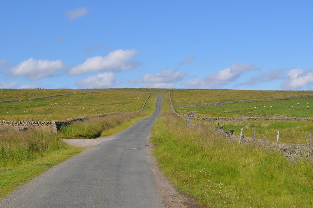
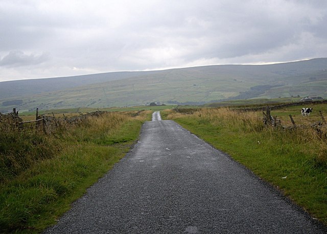
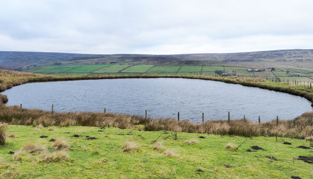
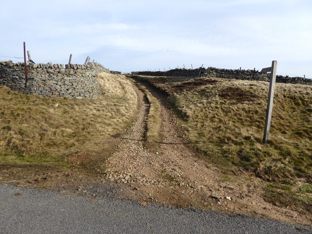
Greenmere Head is a prominent landscape feature located in Durham, England. Situated near the village of Greenmere, it is a notable hill that stands at an elevation of approximately 300 meters (984 feet) above sea level. The hill is characterized by its distinctive conical shape and is a popular attraction for hikers and nature enthusiasts.

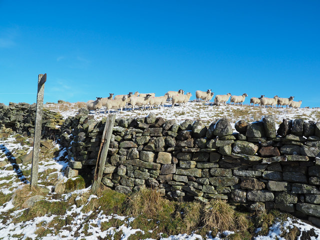
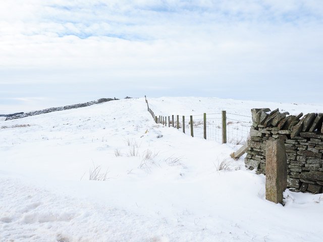
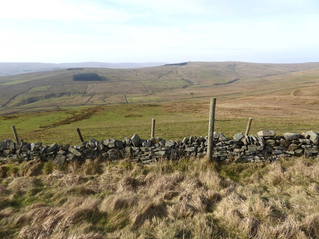
Covered in lush green vegetation, Greenmere Head offers breathtaking panoramic views of the surrounding countryside. From the summit, visitors can admire the picturesque Durham Dales, with its rolling hills, dense woodlands, and meandering rivers. On clear days, it is even possible to see as far as the distant Pennine Mountains to the west.

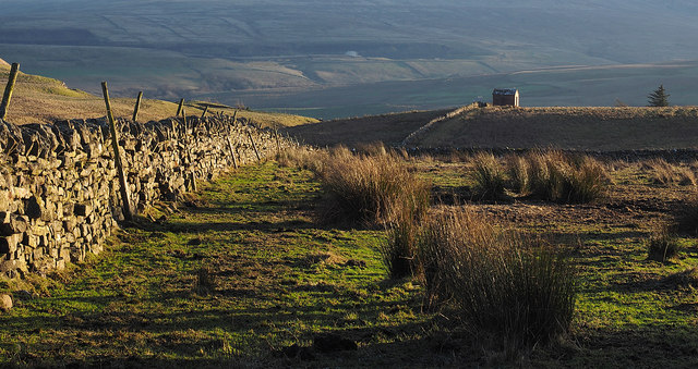
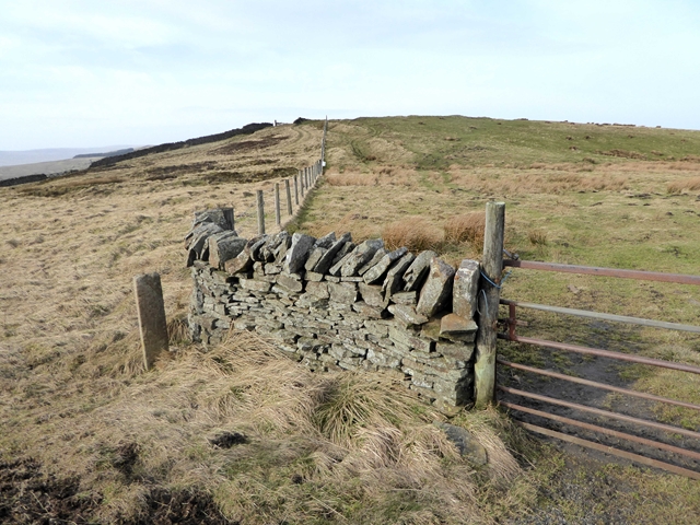
The hill is part of the larger North Pennines Area of Outstanding Natural Beauty, recognized for its exceptional landscapes and diverse wildlife. Greenmere Head itself is home to a variety of plant and animal species, including heather, bilberries, and various bird species such as curlews and lapwings.

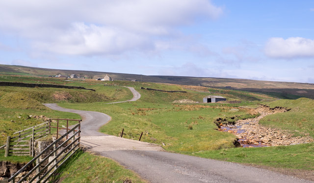
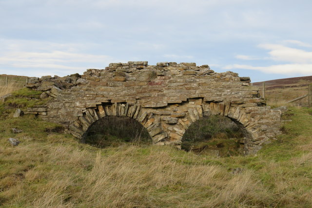
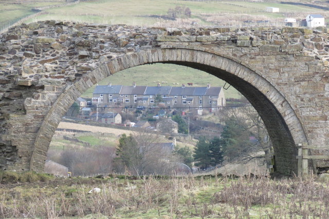
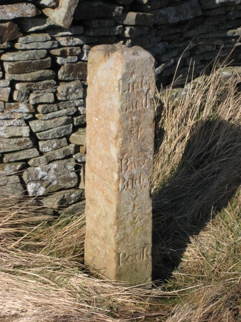
The area surrounding Greenmere Head is rich in history, with evidence of ancient settlements and human activity dating back thousands of years. The hill is also dotted with remnants of old mining operations, a reminder of the region's industrial past.

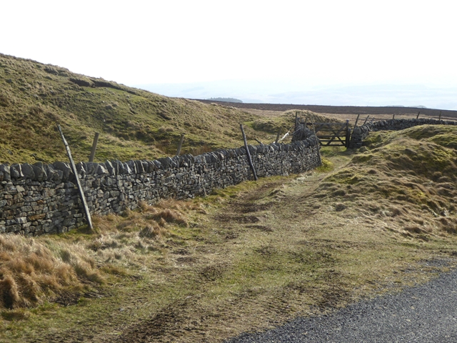
Accessible by footpaths and trails, Greenmere Head offers visitors a chance to immerse themselves in the natural beauty of Durham and experience the tranquility of the countryside. Whether it is for a leisurely stroll or a challenging hike, Greenmere Head is a must-visit destination for anyone seeking to explore the stunning landscapes of Durham.

If you have any feedback on the listing, please let us know in the comments section below.

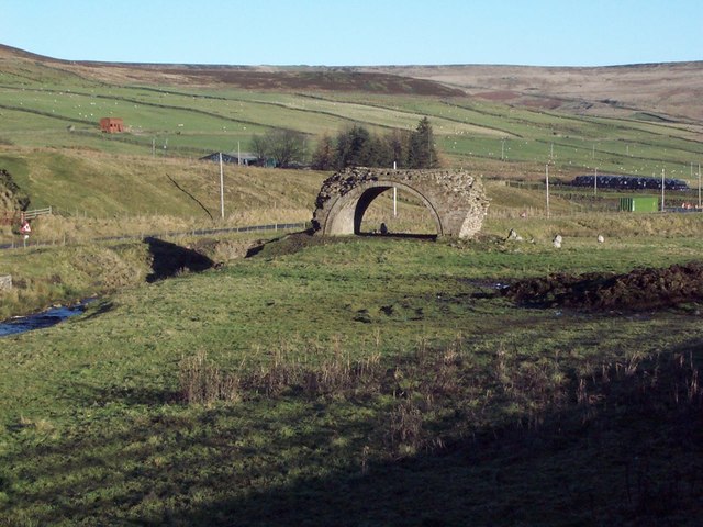
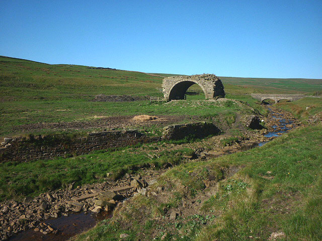
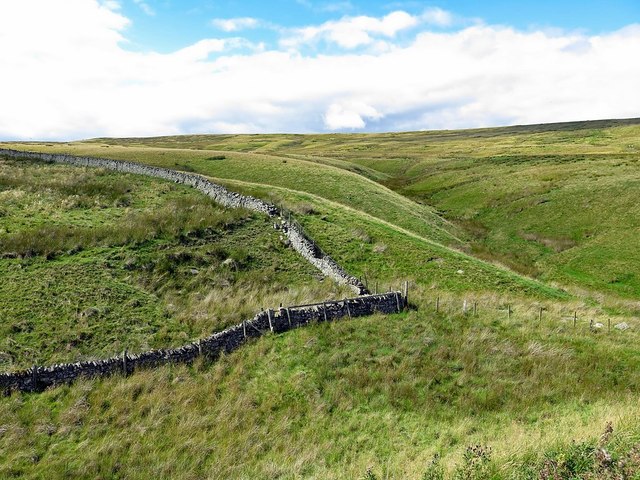
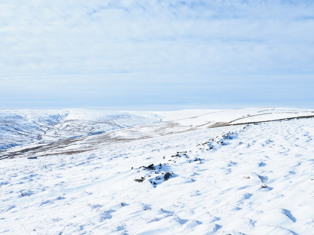
Greenmere Head Images

Images are sourced within 2km of 54.76475/-2.1241599 or Grid Reference NY9241. Thanks to Geograph Open Source API. All images are credited.

Road to Crook's Altar Westgate to Rookhope road.
Road to Crook's Altar
Westgate to Rookhope road.
Westgate Heights Pastures On the run down from Scarsike junction to Westgate.
Westgate Heights Pastures
On the run down from Scarsike junction to Westgate.
Dry stone wall near to Park Burn Park Burn is on the far side of the wall and descends close to the line of it into Weardale. The hillside in the distance is the southern slope of Weardale and there can be seen the now disused and landscaped quarry which once supplied limestone to the Blue Circle cement works at Eastgate. There's a working quarry - Heights Quarry - just out of view to the left side of the image; it's likely that the small building is connected with that or another extractive operation.
Dry stone wall near to Park Burn
Park Burn is on the far side of the wall and descends close to the line of it into Weardale. The hillside in the distance is the southern slope of Weardale and there can be seen the now disused and landscaped quarry which once supplied limestone to the Blue Circle cement works at Eastgate. There's a working quarry - Heights Quarry - just out of view to the left side of the image; it's likely that the small building is connected with that or another extractive operation.
Bridge over Rookhope Burn The bridge carries the farm access road for Wolf Cleugh, the buildings of which can be seen high on the slope at the left side of the image.
Bridge over Rookhope Burn
The bridge carries the farm access road for Wolf Cleugh, the buildings of which can be seen high on the slope at the left side of the image.
Lintzgarth Arch
Lintzgarth Arch
Rookhope Arch Not built by the Romans, this is the last surviving arch of six that were built by lead miners to carry a flue from smelting hearths nearby.
Rookhope Arch
Not built by the Romans, this is the last surviving arch of six that were built by lead miners to carry a flue from smelting hearths nearby.
Boundary wall near Crow's Cleugh
Ruined wall in Walton's Allotment Walton's Allotment is a moorland enclosure high on slopes falling to the valley of the Middlehope Burn. The distant view is across the upper valley to Black Hill and Burtree Fell.
Ruined wall in Walton's Allotment
Walton's Allotment is a moorland enclosure high on slopes falling to the valley of the Middlehope Burn. The distant view is across the upper valley to Black Hill and Burtree Fell.
Sheep above wall in Middle Hope Animals on a snowed slope adjacent to a rough hill road climbing out of the valley; the finger post indicates that the route is also a public right of way.
Sheep above wall in Middle Hope
Animals on a snowed slope adjacent to a rough hill road climbing out of the valley; the finger post indicates that the route is also a public right of way.
Guide stone and fence line at Scarsike Head Scarsike Head is a crossing point of a minor road between Rook Hope and Weardale reaching 539 m.
The boundary stone there had been noted by the photographer many years ago; there were inscriptions on some of the faces, perhaps all of them. And then some time ago the stone was seen to be missing, perhaps stolen for use as a display ornament! On this visit however, the stone was found to have been replaced following an absence of many years. It appears to have been cleaned but perhaps too thoroughly; the inscriptions seem to be decidedly less clear than previously!
Guide stone and fence line at Scarsike Head
Scarsike Head is a crossing point of a minor road between Rook Hope and Weardale reaching 539 m. The boundary stone there had been noted by the photographer many years ago; there were inscriptions on some of the faces, perhaps all of them. And then some time ago the stone was seen to be missing, perhaps stolen for use as a display ornament! On this visit however, the stone was found to have been replaced following an absence of many years. It appears to have been cleaned but perhaps too thoroughly; the inscriptions seem to be decidedly less clear than previously!
Chimney flue, Rookhope The flue connected a lead smelting plant to the Rookhope Chimney to take the lead fumes up the hillside.
Chimney flue, Rookhope
The flue connected a lead smelting plant to the Rookhope Chimney to take the lead fumes up the hillside.
Rookhope Arch The remaining arch of a series that carried a flue from the lead smelting plant to the rookhope chimney, directing fumes up the hillside for release away from the village.
Rookhope Arch
The remaining arch of a series that carried a flue from the lead smelting plant to the rookhope chimney, directing fumes up the hillside for release away from the village.
Circular reservoir above Rookhope village The small reservoir lies on the moorland of Smailsburn Common south-west of the village.
Circular reservoir above Rookhope village
The small reservoir lies on the moorland of Smailsburn Common south-west of the village.
Old Guide Stone by Scarsike Head, Stanhope parish Eggleston Guidestone by the UC road, in parish of Stanhope (Wear Valley District), Scarsike Head, North of Westgate; East of T-junction, at corner of first wall.

See listing for inscriptions.

Grade II listed.
List Entry Number: 1232200 <span class="nowrap"><a title="https://historicengland.org.uk/listing/the-list/list-entry/1232200" rel="nofollow ugc noopener" href="https://historicengland.org.uk/listing/the-list/list-entry/1232200">Link</a><img style="margin-left:2px;" alt="External link" title="External link - shift click to open in new window" src="https://s1.geograph.org.uk/img/external.png" width="10" height="10"/></span>

Surveyed

Milestone Society National ID: DU_XSSH
Old Guide Stone by Scarsike Head, Stanhope parish
Eggleston Guidestone by the UC road, in parish of Stanhope (Wear Valley District), Scarsike Head, North of Westgate; East of T-junction, at corner of first wall. See listing for inscriptions. Grade II listed. List Entry Number: 1232200 LinkExternal link Surveyed Milestone Society National ID: DU_XSSH
High above Weardale Looking west towards the valley of the Middlehope Burn.
High above Weardale
Looking west towards the valley of the Middlehope Burn.
Path into field near Scarsike Head
Start of the Red Road Leading to the disused Marden Quarry.
Start of the Red Road
Leading to the disused Marden Quarry.
Show me another place!

Greenmere Head is located at Grid Ref: NY9241 (Lat: 54.76475, Lng: -2.1241599)

Unitary Authority: County Durham

Police Authority: Durham

What 3 Words

///advantage.extra.thumbnail. Near Stanhope, Co. Durham

Nearby Locations

Greenmere Head

Related Wikis

Lintzgarth

Lintzgarth is a village in the civil parish of Stanhope, in County Durham, England. It is situated to the west of Rookhope. The Lintzgarth smeltmill was...

West Rigg Open Cutting

West Rigg Open Cutting is a Site of Special Scientific Interest in the Wear Valley district of west County Durham, England. It is a disused ironstone...

Slit Woods

Slitt Woods is a Site of Special Scientific Interest in the Wear Valley district of County Durham, England. It occupies the valley of Middlehope Burn,...

Rookhope

Rookhope is a village in the civil parish of Stanhope, in County Durham, England. A former lead and fluorspar mining community, it first existed as a group...

Related Videos

The Durham Cow's Rookhope Burn Rocks!

Recently I did a 5 mile circular walk in beautiful early autumn weather along both banks of a stream known as the Rookhope Burn ...

Nearby Amenities

Located within 500m of 54.76475,-2.1241599
Lintzgarth Common
Ele: 554.5
Image: https://www.geograph.org.uk/photo/6590843
Man Made: survey_point
Ref: NY86S011
Tpuk Ref: TP4431
Website: https://trigpointing.uk/trig/4431
Lat/Long: 54.7663209/-2.1302815
The data included in this document is from www.openstreetmap.org. The data is made available under ODbL.

Have you been to Greenmere Head?

Leave your review of Greenmere Head below (or comments, questions and feedback).