Fiskes Point
Coastal Feature, Headland, Point in Lancashire Lancaster
England
Fiskes Point
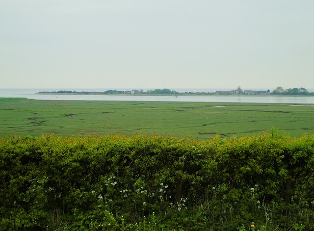
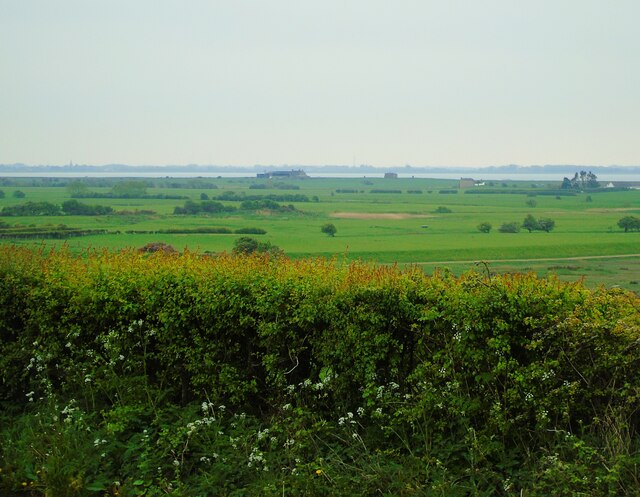
Fiskes Point is a prominent coastal feature located in Lancashire, England. It is a headland that juts out into the Irish Sea, forming a distinct point along the coastline.
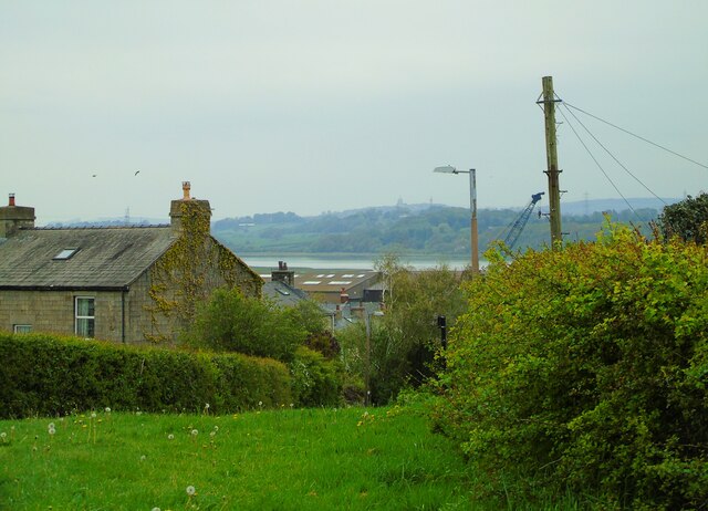
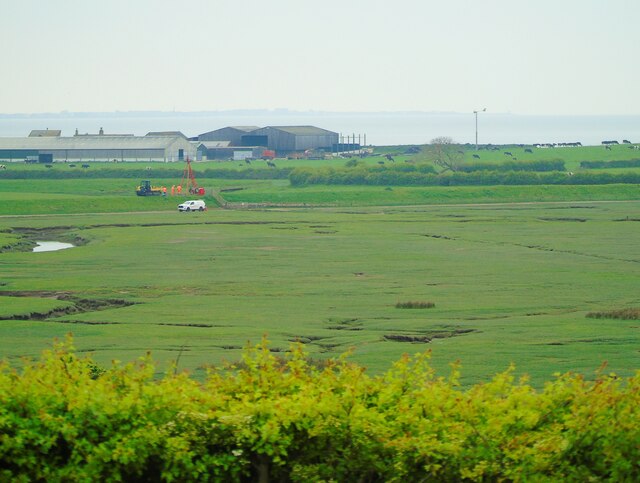
Situated in the northwestern part of the county, Fiskes Point offers stunning views of the surrounding landscape. The rugged cliffs that line the headland provide a dramatic backdrop, while the expansive sea stretches out to the horizon. The point itself is characterized by its rocky terrain and is covered in vegetation, including grasses and shrubs that cling to the cliffs.
Fiskes Point is a popular destination for nature enthusiasts and hikers. Its location within a designated Area of Outstanding Natural Beauty (AONB) attracts visitors who come to explore the diverse flora and fauna that inhabit the area. The headland is home to various bird species, including gulls and cormorants, making it a haven for birdwatchers.
The coastal path that winds around Fiskes Point offers a chance to admire the panoramic views and enjoy the fresh sea breeze. The point also provides access to secluded coves and hidden beaches, which are perfect for those seeking a quiet spot to relax or engage in water activities such as swimming or snorkeling.
Fiskes Point is easily accessible by both car and public transportation, with nearby parking facilities and bus stops. The headland attracts a steady flow of visitors throughout the year, who come to appreciate the natural beauty and tranquility that this coastal feature offers.
If you have any feedback on the listing, please let us know in the comments section below.
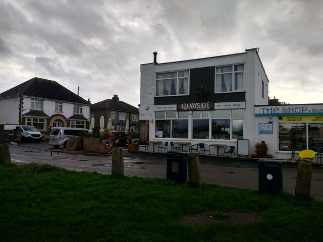
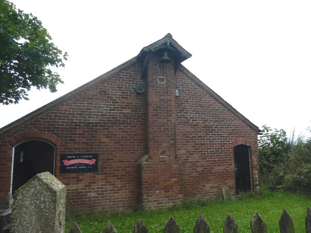
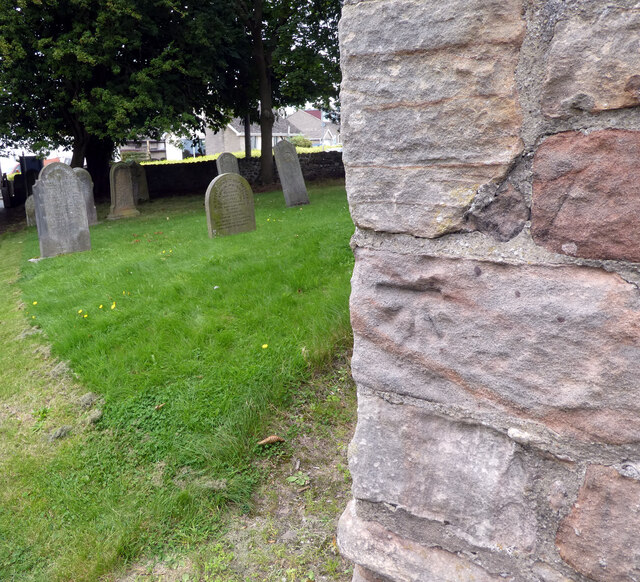
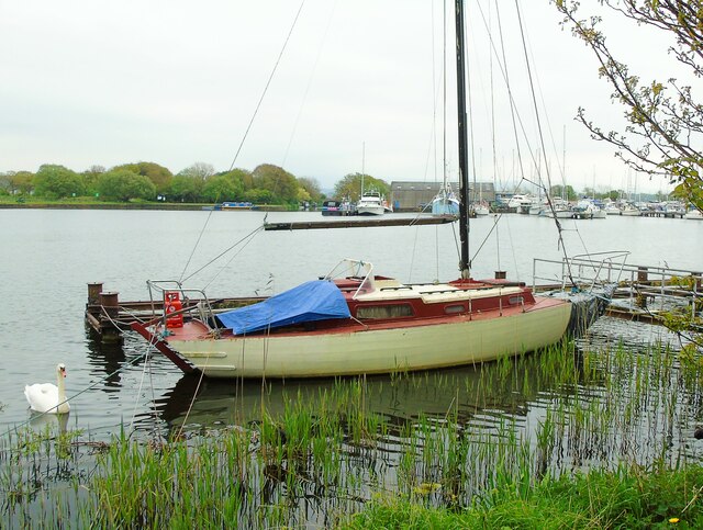
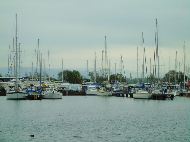
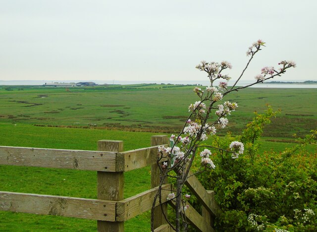
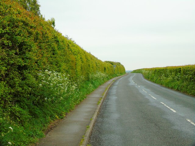
Fiskes Point Images
Images are sourced within 2km of 54.007116/-2.855295 or Grid Reference SD4457. Thanks to Geograph Open Source API. All images are credited.

Fiskes Point is located at Grid Ref: SD4457 (Lat: 54.007116, Lng: -2.855295)
Administrative County: Lancashire
District: Lancaster
Police Authority: Lancashire
What 3 Words
///explain.grips.overlook. Near Overton, Lancashire
Nearby Locations
Related Wikis
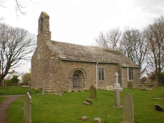
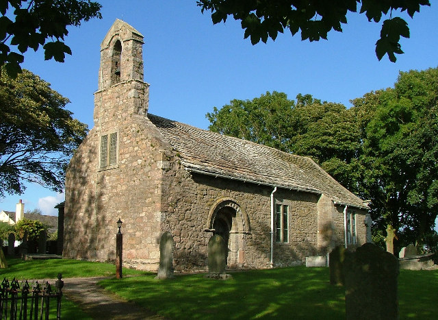
St Helen's Church, Overton
St Helen's Church, Overton, is located in Church Grove, Overton, Lancashire, England. It is an active Anglican parish church in the deanery of Lancaster...
Overton, Lancashire
Overton is a village and civil parish in Lancashire, England, south west of Lancaster and south of Morecambe between Heysham and the estuary of the River...

Glasson Dock
Glasson Dock, also known as Glasson, is a village in Lancashire, England, south of Lancaster at the mouth of the River Lune. In 2011, it had a population...
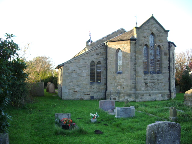
Christ Church, Glasson
Christ Church is in the village of Glasson, Lancashire, England. It is an active Anglican parish church in the deanery of Lancaster and Morecambe, the...
Nearby Amenities
Located within 500m of 54.007116,-2.855295Have you been to Fiskes Point?
Leave your review of Fiskes Point below (or comments, questions and feedback).