Hill Head

Landscape Feature in Ayrshire

Scotland

Hill Head

Minor road near New Cumnock
Minor road near New Cumnock Credit: Steven Brown

The requested URL returned error: 429 Too Many Requests

If you have any feedback on the listing, please let us know in the comments section below.
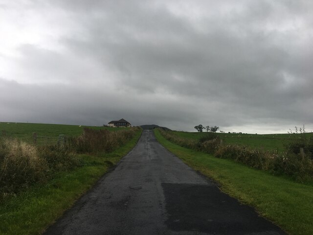
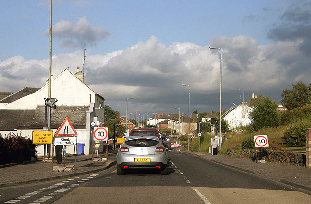
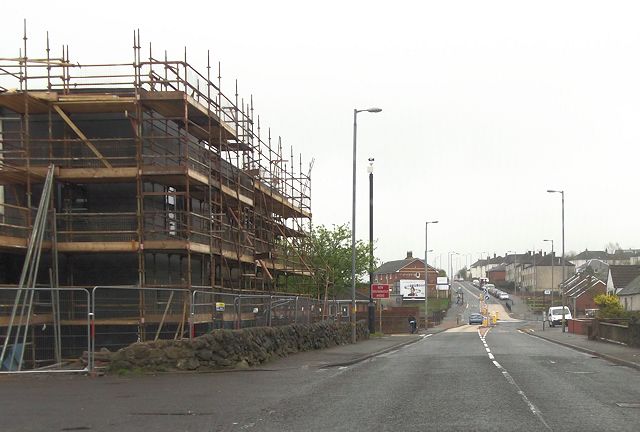
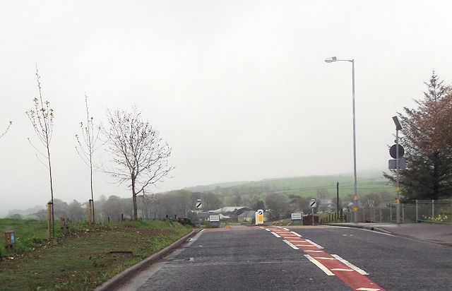
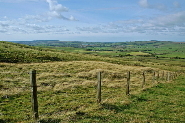
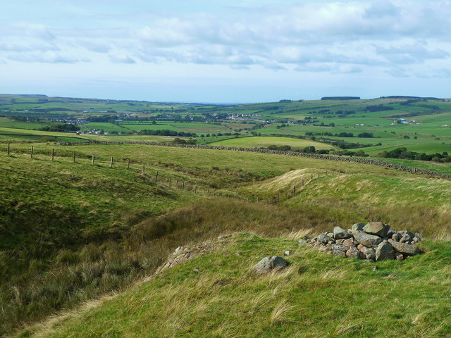
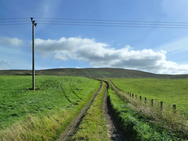
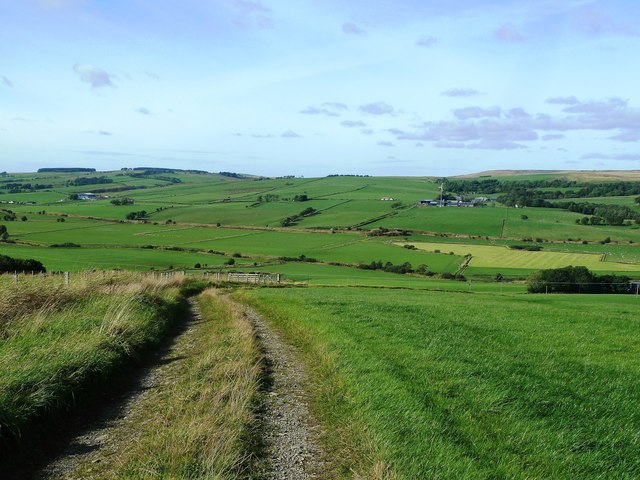
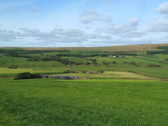
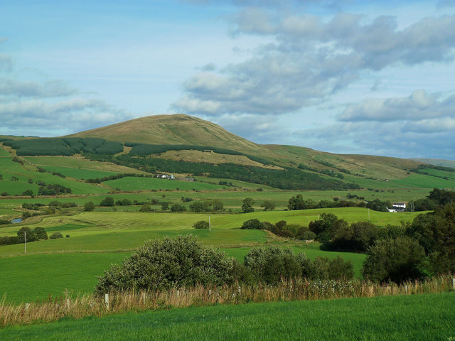
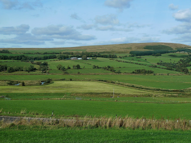
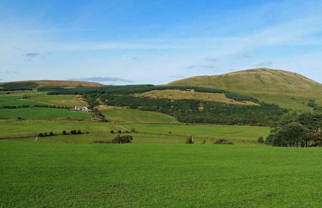
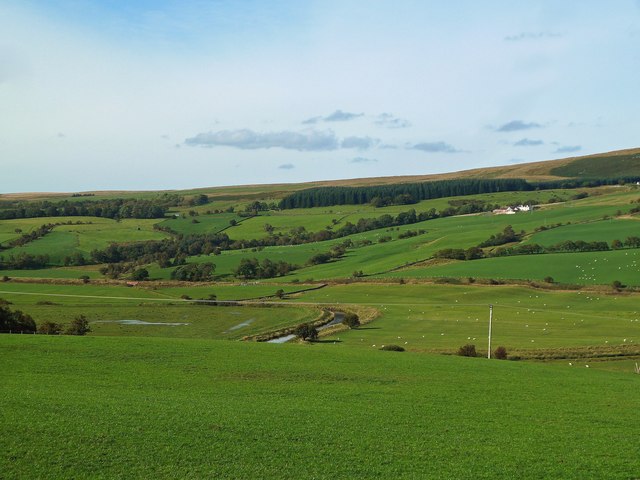
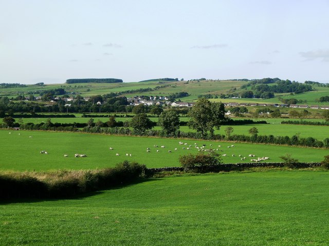
Hill Head Images

Images are sourced within 2km of 55.390153/-4.1515459 or Grid Reference NS6312. Thanks to Geograph Open Source API. All images are credited.

Minor road near New Cumnock
Roadworks in New Cumnock Traffic is guided along a fairly long stretch of the A76 through the town in a convoy system. These road improvement works have been going on for over a year.
Roadworks in New Cumnock
Traffic is guided along a fairly long stretch of the A76 through the town in a convoy system. These road improvement works have been going on for over a year.
Afton Bridgend from The Spar stores A76 looking east
Afton Bridgend from The Spar stores
A76 looking east
Leaving New Cumnock on A76
Lay by on A76 between Blackwood and Poleshill
Lay by on A76 by Burnton Bridge
Approaching sharp bend near Polshill
The Knipe View Looking towards The Knipe from rough grazing on Burnt Hill, near New Cumnock.
The Knipe View
Looking towards The Knipe from rough grazing on Burnt Hill, near New Cumnock.
Burnt Hill View Looking towards New Cumnock from the slopes of Burnt Hill near the headwaters of the Elder Burn.
Burnt Hill View
Looking towards New Cumnock from the slopes of Burnt Hill near the headwaters of the Elder Burn.
The Elder Burn Looking down the Elder Burn from the lower slopes of Burnt Hill towards New Cumnock and Mansfield. Viewed on a bright mid-September afternoon.
The Elder Burn
Looking down the Elder Burn from the lower slopes of Burnt Hill towards New Cumnock and Mansfield. Viewed on a bright mid-September afternoon.
Towards The Knipe This farm track goes only a short distance to the edge of the improved land. The Knipe, also known as Hare Hill, is the site of a wind farm.
Towards The Knipe
This farm track goes only a short distance to the edge of the improved land. The Knipe, also known as Hare Hill, is the site of a wind farm.
Nith Valley View Viewed from a farm track on the south side of the Nith Valley near New Cumnock. This is good farmland, with a heavy emphasis on grassland.
Nith Valley View
Viewed from a farm track on the south side of the Nith Valley near New Cumnock. This is good farmland, with a heavy emphasis on grassland.
Farmland View in the Nith Valley Viewed from a field on the south side of the valley, this is a productive farmland area with a heavy emphasis on grass. The meandering Nith and the farms are in the next square.
Farmland View in the Nith Valley
Viewed from a field on the south side of the valley, this is a productive farmland area with a heavy emphasis on grass. The meandering Nith and the farms are in the next square.
Corsencon Hill View Looking towards Corsencon Hill from farmland on the south side of the Nith Valley. Being such a prominent hill, Corsencon may have held a beacon site in days gone by. The nearby A76 trunk road is cut off from view by the lie of the land.
Corsencon Hill View
Looking towards Corsencon Hill from farmland on the south side of the Nith Valley. Being such a prominent hill, Corsencon may have held a beacon site in days gone by. The nearby A76 trunk road is cut off from view by the lie of the land.
Nith Valley View Looking across the Nith Valley from a field beside the A76 trunk road. The river meanders across a very wide valley that was shaped during the last Ice Age.
Nith Valley View
Looking across the Nith Valley from a field beside the A76 trunk road. The river meanders across a very wide valley that was shaped during the last Ice Age.
Towards Corsencon Hill Looking across the Nith Valley towards Corsencon Hill from fields near the A76. This is a good agricultural area with a heavy emphasis on grassland and livestock.
Towards Corsencon Hill
Looking across the Nith Valley towards Corsencon Hill from fields near the A76. This is a good agricultural area with a heavy emphasis on grassland and livestock.
Nith Valley View In this view, most of the river is blocked from sight by the lie of the land. This is a good agricultural area with an emphasis on grassland and livestock.
Nith Valley View
In this view, most of the river is blocked from sight by the lie of the land. This is a good agricultural area with an emphasis on grassland and livestock.
New Cumnock View Looking from the edge of the village across the Nith Valley towards Pathhead and Mansefield on the other side.
New Cumnock View
Looking from the edge of the village across the Nith Valley towards Pathhead and Mansefield on the other side.
Show me another place!

Hill Head is located at Grid Ref: NS6312 (Lat: 55.390153, Lng: -4.1515459)

Unitary Authority: East Ayrshire

Police Authority: Ayrshire

What 3 Words

///freezers.furnish.circular. Near New Cumnock, East Ayrshire

Nearby Locations

Hill Head

Related Wikis

River Afton

The River Afton (or Afton Water) is a small river in Ayrshire, Scotland, which flows north from Alwhat Hill in the Carsphairn and Scaur Hills, through...

Mansfield, East Ayrshire

Mansfield is a village in East Ayrshire in Scotland. It is north of New Cumnock from which it is separated by the River Nith and the adjacent village of...

New Cumnock

New Cumnock is a town in East Ayrshire, Scotland. It expanded during the coal-mining era from the late 18th century, and mining remained its key industry...

New Cumnock Town Hall

New Cumnock Town Hall is a municipal building in Castle, New Cumnock, East Ayrshire, Scotland. The structure, which is used as a community events venue...

Nearby Amenities

Located within 500m of 55.390153,-4.1515459
Power: pole
Lat/Long: 55.3894906/-4.1438385
Power: pole
Lat/Long: 55.3893352/-4.1449328
Power: pole
Lat/Long: 55.3891859/-4.1459682
Power: pole
Lat/Long: 55.3889772/-4.1475641
Power: pole
Lat/Long: 55.3884942/-4.1510322
Power: pole
Lat/Long: 55.3883205/-4.1524001
Power: pole
Lat/Long: 55.3881316/-4.1538163
Power: pole
Lat/Long: 55.387961/-4.1550045
Power: pole
Lat/Long: 55.387798/-4.1561954
Power: pole
Lat/Long: 55.387574/-4.1578745
Power: pole
Lat/Long: 55.3897321/-4.1439512
Power: pole
Lat/Long: 55.3895797/-4.1450106
Power: pole
Lat/Long: 55.3892445/-4.1475614
Power: pole
Lat/Long: 55.3887555/-4.1511797
Power: pole
Lat/Long: 55.3885818/-4.1525879
Power: pole
Lat/Long: 55.3883685/-4.1539504
Power: pole
Lat/Long: 55.3882131/-4.1552084
Power: pole
Lat/Long: 55.3880577/-4.1563617
Power: pole
Lat/Long: 55.387852/-4.1579147
Parking
Lat/Long: 55.3940332/-4.148209
Power: pole
Lat/Long: 55.3915382/-4.1579375
Power: pole
Lat/Long: 55.3897947/-4.1584555
Power: pole
Lat/Long: 55.3901403/-4.1574896
Power: pole
Lat/Long: 55.3908714/-4.1577181
Power: pole
Lat/Long: 55.3924632/-4.1582428
Power: pole
Lat/Long: 55.3946471/-4.1517102
Power: pole
Lat/Long: 55.3943529/-4.1514885
Power: pole
Lat/Long: 55.3940164/-4.1512035
Power: pole
Lat/Long: 55.3894523/-4.1459801
The data included in this document is from www.openstreetmap.org. The data is made available under ODbL.

Have you been to Hill Head?

Leave your review of Hill Head below (or comments, questions and feedback).