Old Quay Head
Landscape Feature in Devon North Devon
England
Old Quay Head
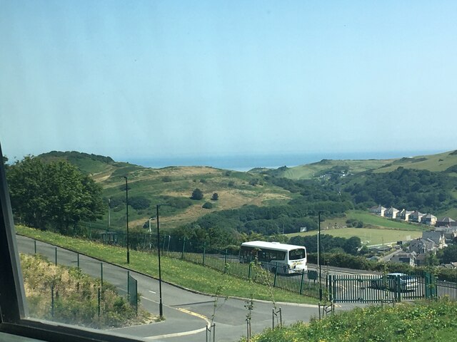
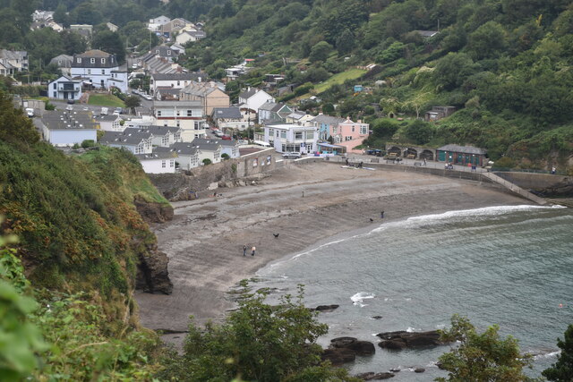
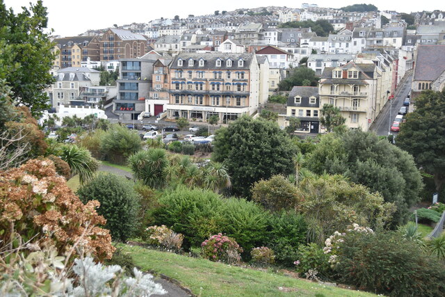
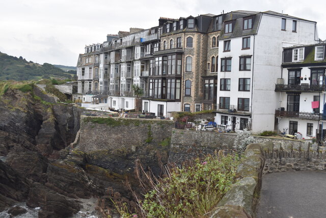
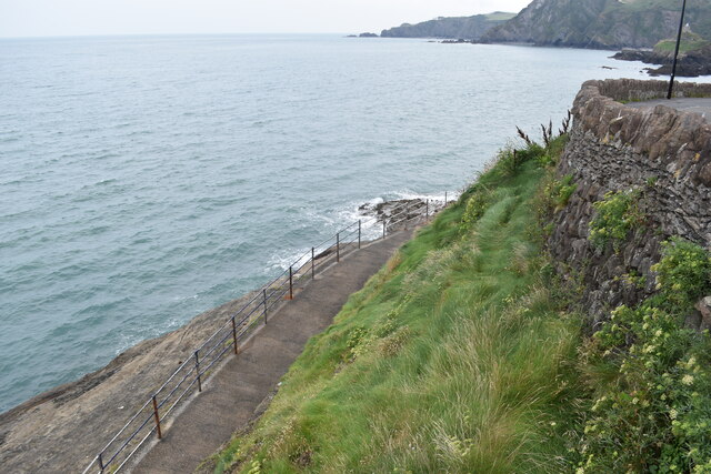
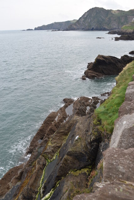
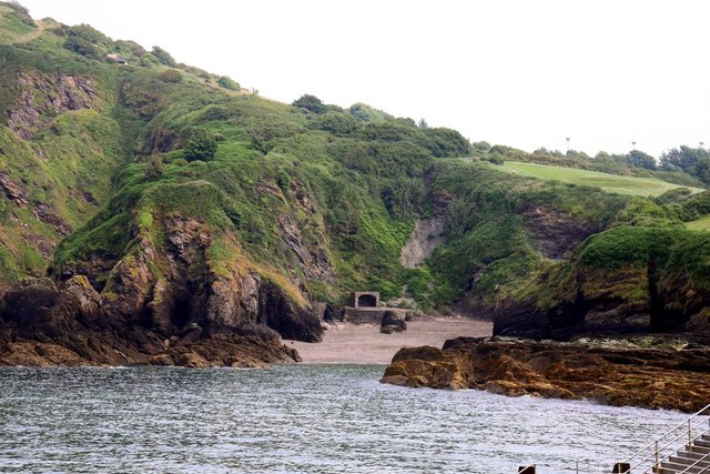
Old Quay Head is a prominent landscape feature located in the county of Devon, England. Situated on the southern coast, it is an iconic landmark that holds historical and cultural significance in the region. The headland is positioned on a peninsula jutting out into the English Channel, offering breathtaking views of the surrounding coastline.
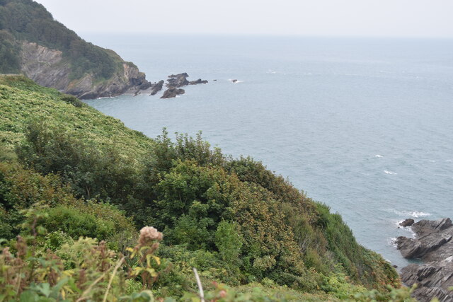
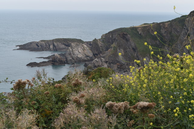
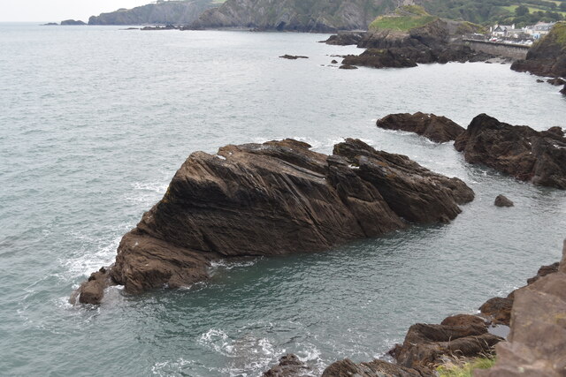
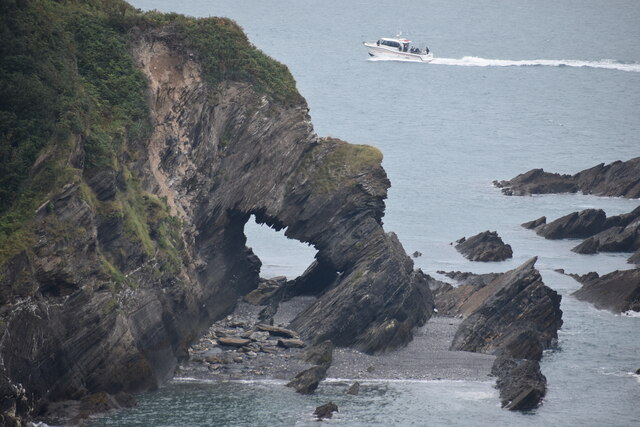
This natural formation is characterized by its rugged cliffs and rocky outcrops, which have been shaped by centuries of erosion from the relentless waves. The headland itself is composed of a mixture of sedimentary rocks, such as sandstone and limestone, adding to its geological interest.
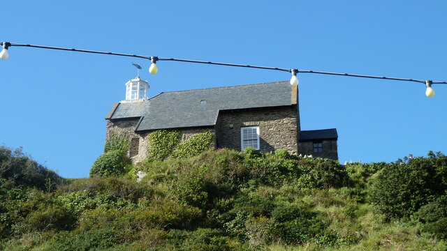
At the top of Old Quay Head, visitors can find an ancient fortification known as Old Quay Castle, which was constructed during the 17th century to defend the coastline from potential invasions. Despite its historical significance, the castle is in ruins and only remnants of its original structure remain.
The area surrounding Old Quay Head is a haven for wildlife enthusiasts, as it provides a habitat for a diverse range of species. Various seabirds, including gulls and cormorants, can be observed nesting along the cliffs, while marine creatures like seals and dolphins can often be spotted swimming in the waters below.
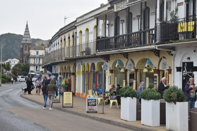
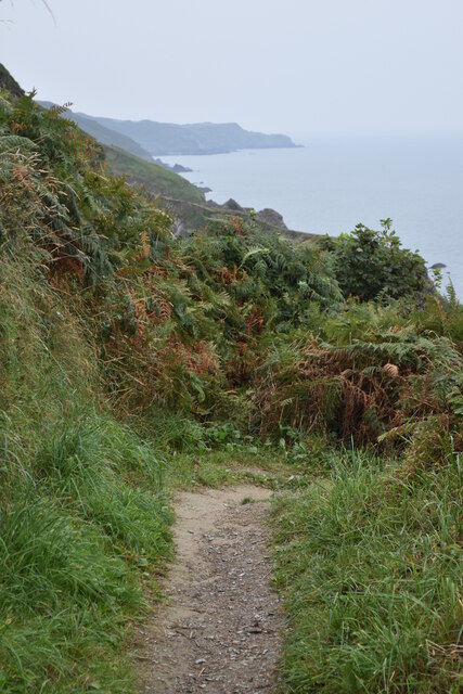
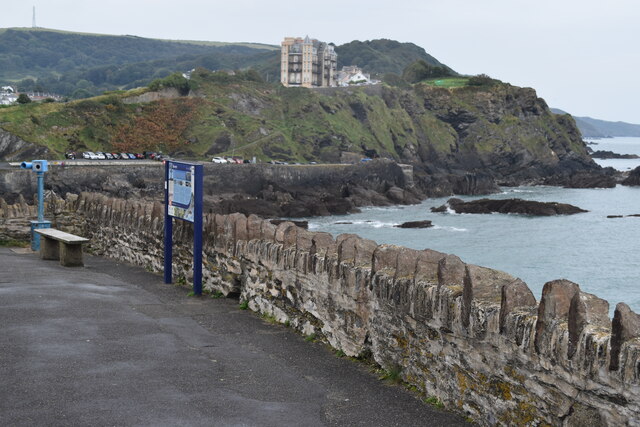
Tourists and locals alike flock to Old Quay Head to experience its natural beauty and immerse themselves in its rich history. The headland offers numerous walking trails that allow visitors to explore the stunning coastal scenery and enjoy panoramic vistas of the English Channel. Additionally, the area presents opportunities for fishing, rock climbing, and picnicking, making it a popular destination for outdoor activities.
Overall, Old Quay Head is a captivating landscape feature in Devon that combines striking geological formations, historical remnants, and abundant wildlife, attracting visitors from all over to marvel at its natural splendor.
If you have any feedback on the listing, please let us know in the comments section below.
Old Quay Head Images
Images are sourced within 2km of 51.210084/-4.1133231 or Grid Reference SS5247. Thanks to Geograph Open Source API. All images are credited.
Old Quay Head is located at Grid Ref: SS5247 (Lat: 51.210084, Lng: -4.1133231)
Administrative County: Devon
District: North Devon
Police Authority: Devon and Cornwall
What 3 Words
///obliging.worlds.farmed. Near Ilfracombe, Devon
Nearby Locations
Related Wikis
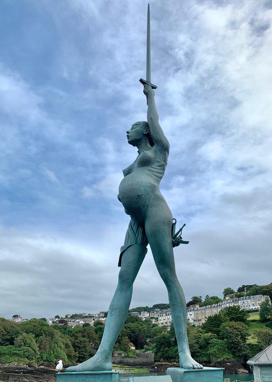
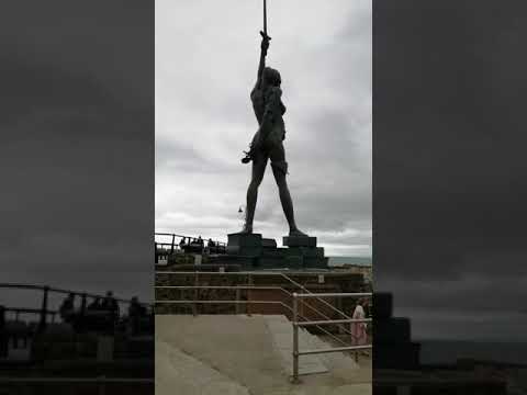
Verity (statue)
Verity is a 2012 stainless steel and bronze statue created by Damien Hirst. The 20.25-metre (66.4 ft) tall sculpture stands on the pier at the entrance...
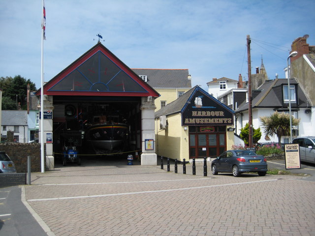
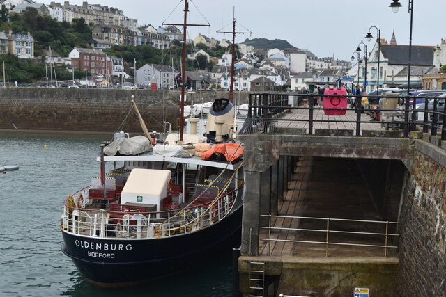
Ilfracombe Lifeboat Station
Ilfracombe Lifeboat Station is the base for Royal National Lifeboat Institution (RNLI) search and rescue operations at Ilfracombe, Devon, England. The...
Rapparee Cove
Rapparee is a cove in the North Devon town of Ilfracombe. The cove is the site of the shipwreck of the transport London, which sank on 9 October 1796 in...

Chambercombe
Chambercombe is a hilly suburb in the North Devon town of Ilfracombe. == References == The geographic coordinates are from the Ordnance Survey. == External... ==
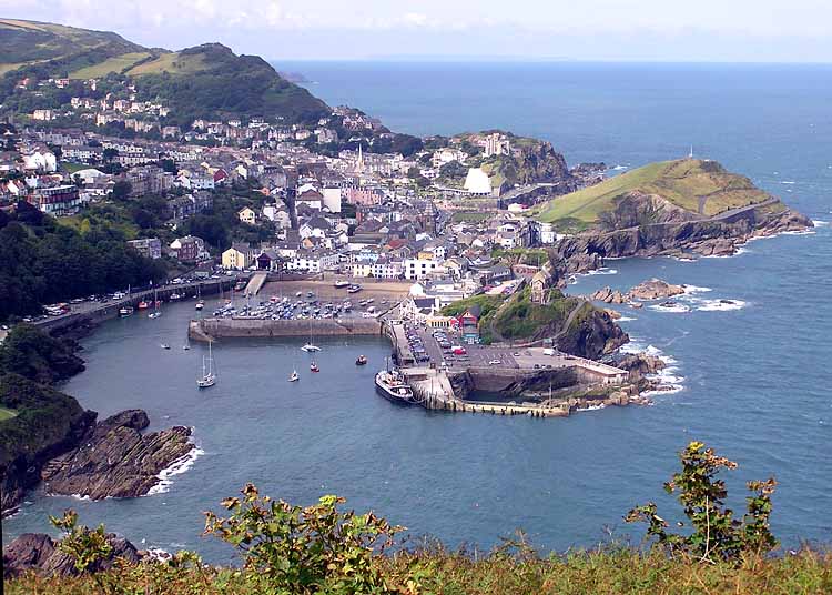
Ilfracombe
Ilfracombe ( IL-frə-koom) is a seaside resort and civil parish on the North Devon coast, England, with a small harbour surrounded by cliffs. The parish...

The Ilfracombe Academy
The Ilfracombe Academy is a coeducational secondary school and sixth form with academy status, located in the North Devon town of Ilfracombe, England...

Old Town Hall, Ilfracombe
The Old Town Hall is a former municipal building in the High Street in Ilfracombe, Devon, England. The structure, which currently operates as gym, is a...
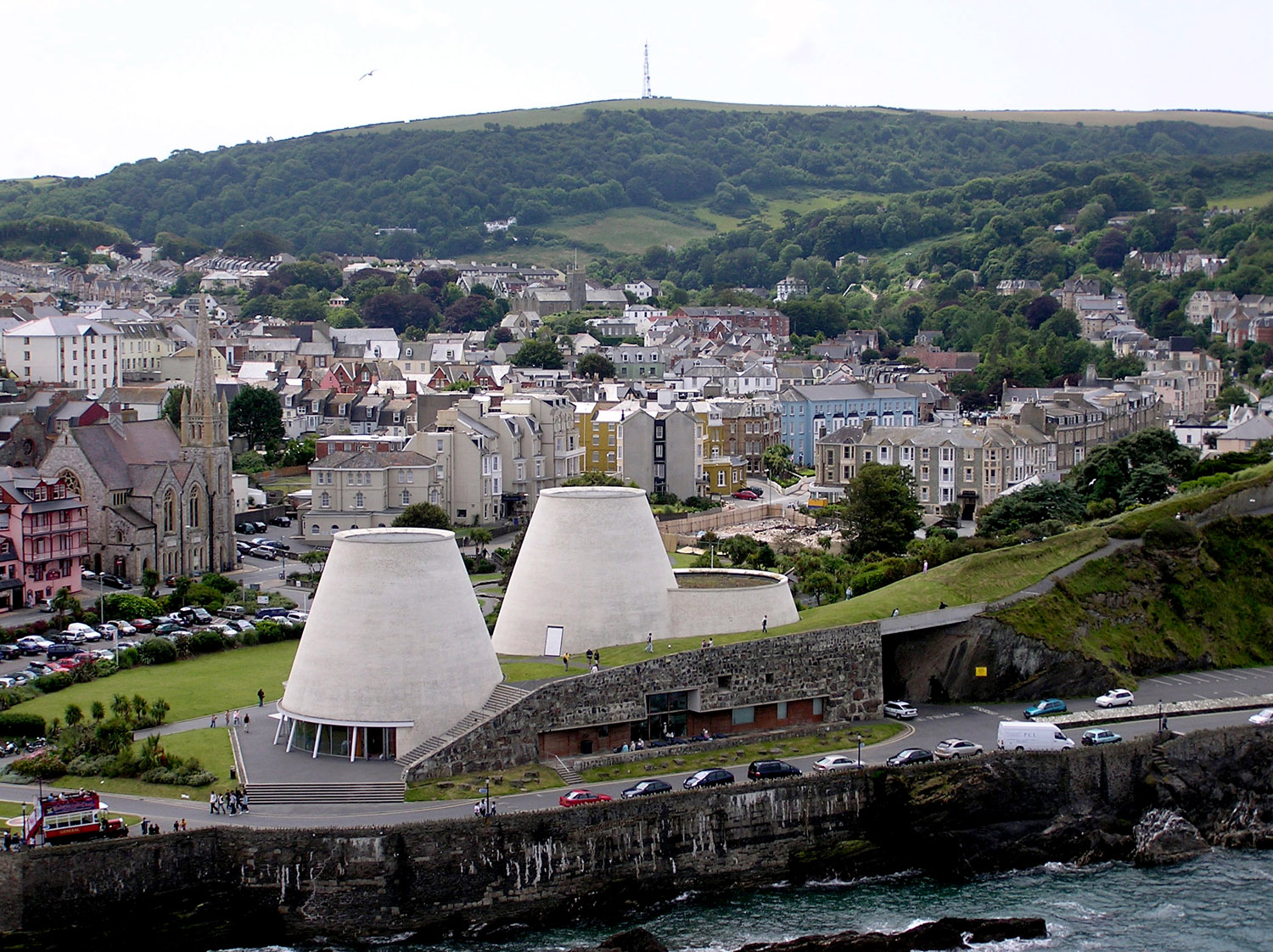
Landmark Theatre, Devon
The Landmark Theatre is a theatre in the North Devon coastal town of Ilfracombe. It has a distinctive double-conical design. It was built to replace The...
Related Videos
ILFRACOMBE DEVON | Full tour of seaside holiday town from harbour to beach
ILFRACOMBE DEVON | Full tour of seaside holiday town from harbour to beach A walk through a great place for a Devon holiday ...

Ilfracombe, #devon #england #harbour #aerialphotography #travel #welltravelledlife @Ilfracombe
Aerial views of Ilfracombe from the Harbour to Tunnels Beaches. #travel #uk #dronevideo.

Tunnels Beaches in #ilfracombe on the coast of #devon #welltravelledlife #travel #england
Tunnels Beaches on the coast of Ilfracombe in Devon, England is a series of tidal pools with hand carved tunnels through the ...
Ilfacombe Holiday UK 24 Aug 2022
Mum & Dads Holiday Ilfacombe Uk 24 Aug 2022 #Ilfracombe is a seaside resort and civil parish on the North Devon coast, ...
Nearby Amenities
Located within 500m of 51.210084,-4.1133231Have you been to Old Quay Head?
Leave your review of Old Quay Head below (or comments, questions and feedback).