Rubha Roide

Landscape Feature in Perthshire

Scotland

Rubha Roide

On Loch Katrine viewing Black Island To the right is the Black Island- obscured behind it, attached to the loch's shore, is the Clan McGregor burial ground. The smaller islet to the left is Eilean Ban. The peak is Meall na Boineide.
On Loch Katrine viewing Black Island Credit: Kim McGillivray

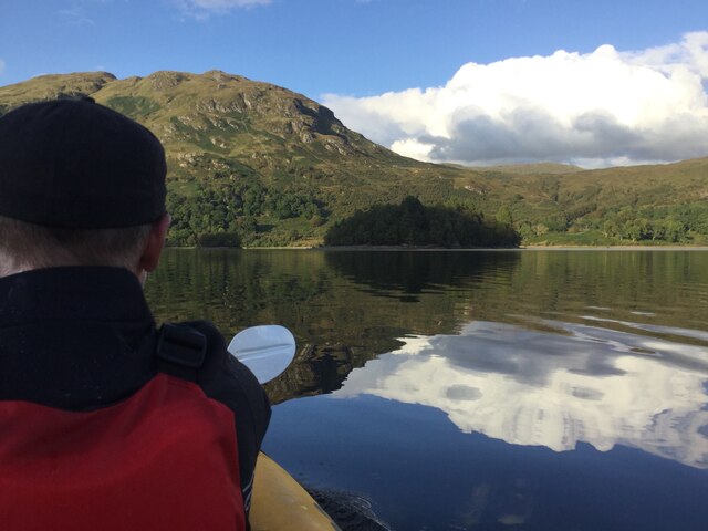
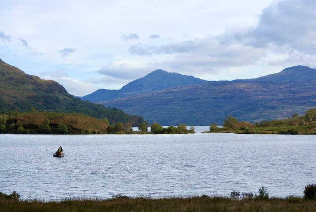
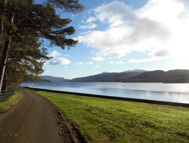
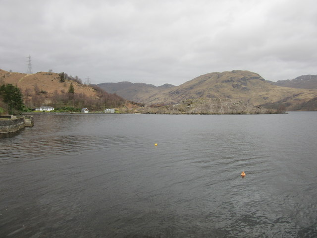
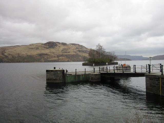
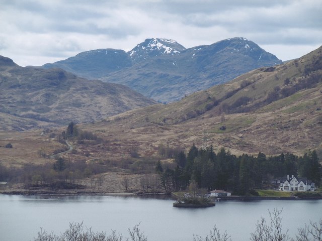
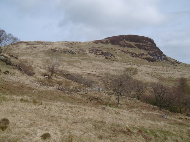
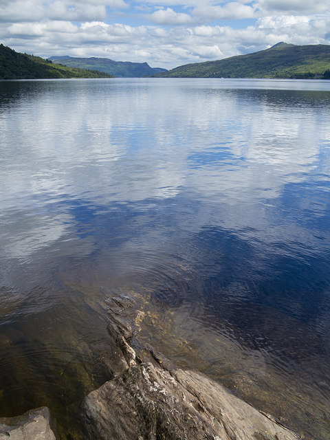
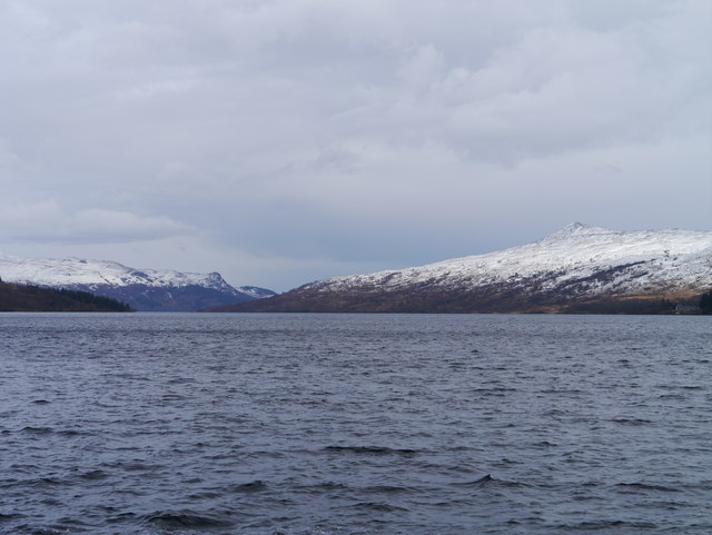
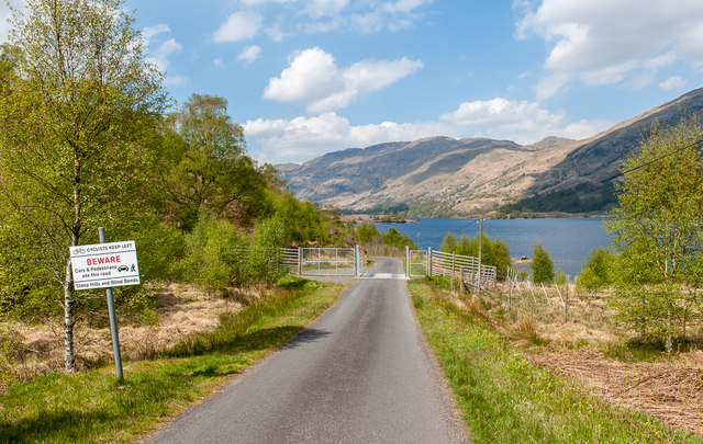
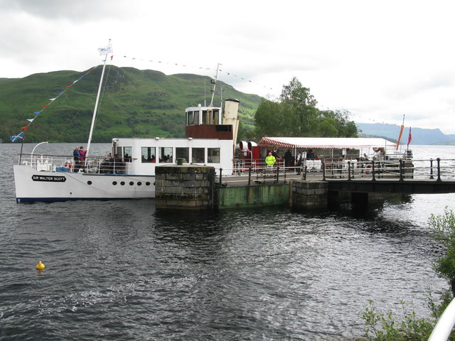
Rubha Roide is a stunning landscape feature located in Perthshire, Scotland. It is a peninsula that juts out into the picturesque Loch Tummel, offering breathtaking views of the surrounding natural beauty.

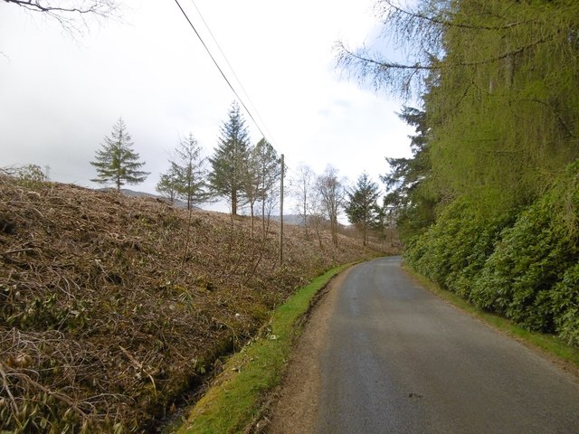
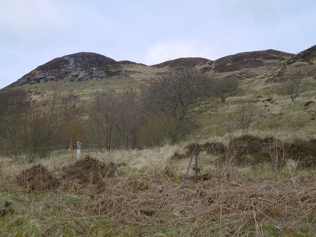
The peninsula is characterized by its rugged terrain, with steep slopes covered in thick vegetation. Towering pine trees dominate the landscape, lending an air of tranquility to the area. The rich greenery is interspersed with vibrant wildflowers, creating a colorful tapestry that changes with the seasons.

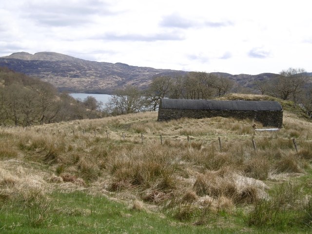
At the tip of Rubha Roide, there is a small sandy beach where visitors can relax and take in the serene atmosphere. The beach is framed by rocky outcrops, adding to the dramatic beauty of the location. From here, one can enjoy uninterrupted vistas of Loch Tummel, its shimmering waters reflecting the surrounding mountains.

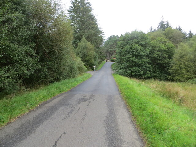
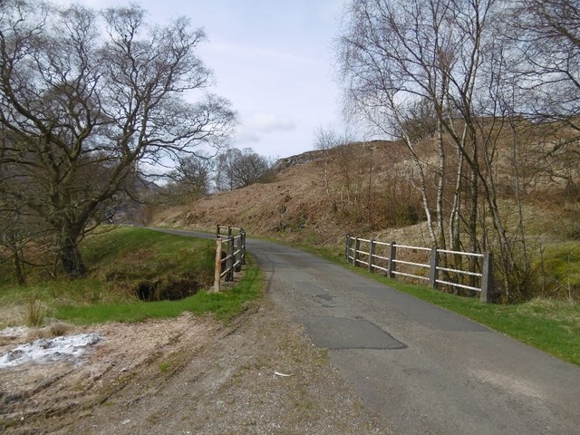
The area is also home to a variety of wildlife, including red squirrels, deer, and a range of bird species. Nature enthusiasts can explore the numerous walking trails that crisscross the peninsula, allowing them to discover hidden gems and enjoy the natural wonders up close.

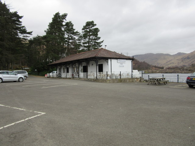
Rubha Roide is a popular destination for outdoor activities such as hiking, picnicking, and photography. Its untouched beauty and peaceful ambiance make it a perfect retreat for those seeking a peaceful escape from the hustle and bustle of everyday life.

If you have any feedback on the listing, please let us know in the comments section below.

Rubha Roide Images

Images are sourced within 2km of 56.25383/-4.5740384 or Grid Reference NN4009. Thanks to Geograph Open Source API. All images are credited.

On Loch Katrine viewing Black Island To the right is the Black Island- obscured behind it, attached to the loch's shore, is the Clan McGregor burial ground. The smaller islet to the left is Eilean Ban. The peak is Meall na Boineide.
On Loch Katrine viewing Black Island
To the right is the Black Island- obscured behind it, attached to the loch's shore, is the Clan McGregor burial ground. The smaller islet to the left is Eilean Ban. The peak is Meall na Boineide.
Minor road approaching Stronachlachar Looking north-eastward.
Minor road approaching Stronachlachar
Looking north-eastward.
Looking down Loch Katrine from the Glen Gyle end An autumnal view of a special place: Rob Roy country!  The Glen Gyle end of Loch Katrine is steeped in history, as is the whole area.  The fishing group in the boat appeared contented and the view down to Ben Venue is so good, there were many positives for me in this image. As is well known, Loch Katrine is a main source of water for the Glasgow conurbation. A natural loch, its level has been raised three times.
Looking down Loch Katrine from the Glen Gyle end
An autumnal view of a special place: Rob Roy country! The Glen Gyle end of Loch Katrine is steeped in history, as is the whole area. The fishing group in the boat appeared contented and the view down to Ben Venue is so good, there were many positives for me in this image. As is well known, Loch Katrine is a main source of water for the Glasgow conurbation. A natural loch, its level has been raised three times.
Loch Katrine at Stronachlachar
Pier Café, Stronachlachar
Stronachlachar pier and Eilean Dharag, Loch Katrine Eilean Dharag is also known as Factor's Island, where Rob Roy MacGregor held the Duke of Montrose's factor, Graham of Killearn, as prisoner following an attack on his wife and home.
Stronachlachar pier and Eilean Dharag, Loch Katrine
Eilean Dharag is also known as Factor's Island, where Rob Roy MacGregor held the Duke of Montrose's factor, Graham of Killearn, as prisoner following an attack on his wife and home.
Rhododendron clearance, Stronachlachar Contrast with the rhododendron choked other side of the road.
Rhododendron clearance, Stronachlachar
Contrast with the rhododendron choked other side of the road.
Stronachlachar Pier Not so far away, but the road still has about 10km to go, around the head of Loch Katrine.  Beinn Narnain forms the backdrop.
Stronachlachar Pier
Not so far away, but the road still has about 10km to go, around the head of Loch Katrine. Beinn Narnain forms the backdrop.
Woodland above Loch Katrine Now that the sheep have gone, the woodlands are spreading away from the shore.
Woodland above Loch Katrine
Now that the sheep have gone, the woodlands are spreading away from the shore.
Coilachra Old walls with a corrugated iron roof. There is a house marked here on 19th century maps.
Coilachra
Old walls with a corrugated iron roof. There is a house marked here on 19th century maps.
Bridge on the Loch Katrine road Near Coilachra.
Bridge on the Loch Katrine road
Near Coilachra.
Meall Dearg, Loch Katrine A craggy hillside on the north shore. There is a fence protecting young trees here.
Meall Dearg, Loch Katrine
A craggy hillside on the north shore. There is a fence protecting young trees here.
Former telephone box, Stronachlachar Now carrying a defibrillator.  BT don't really care that there is heehaw mobile reception in much of the Highlands, but there is still a 'phone in the nearby cafe.
Former telephone box, Stronachlachar
Now carrying a defibrillator. BT don't really care that there is heehaw mobile reception in much of the Highlands, but there is still a 'phone in the nearby cafe.
Loch Katrine at Stronachlachar An eastern view over Loch Katrine from the pier at Stronachlachar.
Loch Katrine at Stronachlachar
An eastern view over Loch Katrine from the pier at Stronachlachar.
Loch Katrine From Stronachlachar Pier A bleak view of Loch Katrine on a cold March afternoon.  The prominent peak on the right is Ben Venue, whilst Ben A'an can be noted left of centre in the distance.
Loch Katrine From Stronachlachar Pier
A bleak view of Loch Katrine on a cold March afternoon. The prominent peak on the right is Ben Venue, whilst Ben A'an can be noted left of centre in the distance.
Loch Katrine road On the private road round the loch, north of Stronachlachar.
Loch Katrine road
On the private road round the loch, north of Stronachlachar.
Steamship Sir Walter Scott moored at Stronachlachar Pier, Loch Katrine The 'Sir Walter Scott' has been sailing in Loch Katrine from Trossachs Pier to Stronachlachar since her maiden voyage in 1900.
Steamship Sir Walter Scott moored at Stronachlachar Pier, Loch Katrine
The 'Sir Walter Scott' has been sailing in Loch Katrine from Trossachs Pier to Stronachlachar since her maiden voyage in 1900.
Show me another place!

Rubha Roide is located at Grid Ref: NN4009 (Lat: 56.25383, Lng: -4.5740384)

Unitary Authority: Stirling

Police Authority: Forth Valley

What 3 Words

///export.extent.jiffy. Near Tyndrum, Stirling

Nearby Locations

Rubha Roide

Related Wikis

Loch Lomond and The Trossachs National Park

Loch Lomond and The Trossachs National Park (Scottish Gaelic: Pàirc Nàiseanta Loch Laomainn is nan Tròisichean) is a national park in Scotland centred...

Loch Arklet

Loch Arklet is a freshwater loch and reservoir in the Trossachs area of the Scottish Highlands. It is within the historic county and registration county...

Loch Katrine

Loch Katrine (; Scottish Gaelic: Loch Ceiteirein [l̪ˠɔx ˈkʲʰeʰtʲɪɾʲɛɲ] or Loch Ceathairne) is a freshwater loch in the Trossachs area of the Scottish Highlands...

Loch Chon

Loch Chon is a freshwater loch situated west of the village of Aberfoyle, near the small village of Kinlochard, Stirling, Scotland, UK. Loch Chon lies...

Nearby Amenities

Located within 500m of 56.25383,-4.5740384
Design: barrel
Power: tower
Lat/Long: 56.2511142/-4.5776304
Ferry Terminal
Ferry: yes
Lat/Long: 56.2578142/-4.5767284
Waterway: boatyard
Lat/Long: 56.2554052/-4.5789831
Leisure: slipway
Lat/Long: 56.2555518/-4.5786608
Telephone
Defibrillator
Booth: K6
Covered: booth
Defibrillator Location: in red phone box by car park next to Stronachlachar pier
Emergency: defibrillator
Ref GB The Circuit: AB5E0BF8-D537-42AD-BF62-71E5A1FA9DDD
Lat/Long: 56.2576627/-4.5777851
Post Box
Post Box Type: lamp
Royal Cypher: scottish_crown
Lat/Long: 56.2576436/-4.5777837
Power: pole
Lat/Long: 56.2540699/-4.5815122
Power: pole
Lat/Long: 56.253672/-4.5810311
Power: pole
Lat/Long: 56.2530944/-4.5803325
Power: pole
Lat/Long: 56.2527598/-4.579774
Power: pole
Lat/Long: 56.2523438/-4.5790503
Power: pole
Lat/Long: 56.2522136/-4.578816
Power: pole
Lat/Long: 56.2517976/-4.5781299
Power: pole
Lat/Long: 56.2515303/-4.5771552
Power: pole
Lat/Long: 56.2511608/-4.5758102
Power: pole
Lat/Long: 56.2509307/-4.5749358
Power: pole
Lat/Long: 56.2506018/-4.5737833
Power: pole
Lat/Long: 56.2502637/-4.5725889
Power: pole
Lat/Long: 56.2499278/-4.571407
Power: pole
Lat/Long: 56.2527307/-4.5787616
The data included in this document is from www.openstreetmap.org. The data is made available under ODbL.

Have you been to Rubha Roide?

Leave your review of Rubha Roide below (or comments, questions and feedback).