Claypits Water
Lake, Pool, Pond, Freshwater Marsh in Suffolk West Suffolk
England
Claypits Water
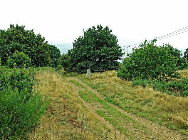
Claypits Water is a picturesque freshwater marsh located in Suffolk, England. It is a popular destination for nature enthusiasts, birdwatchers, and outdoor enthusiasts seeking a tranquil escape from city life.
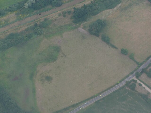
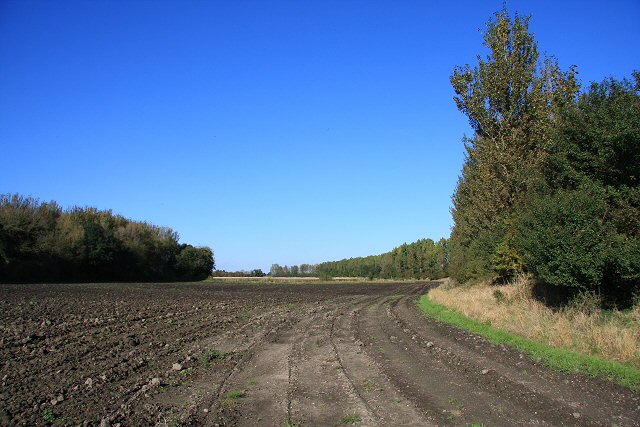
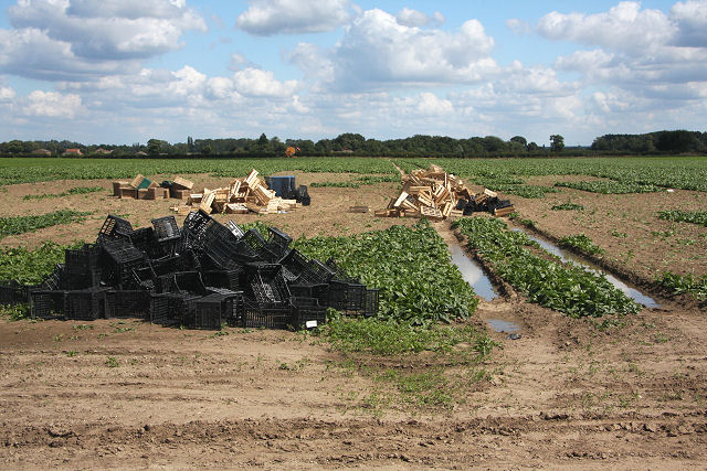
Covering an area of approximately 10 acres, Claypits Water is characterized by its diverse aquatic vegetation and abundant wildlife. The site comprises a series of interconnected pools, ponds, and marshes, creating a unique and dynamic ecosystem. The marshland is fed by natural springs and rainwater, resulting in crystal-clear, freshwater conditions.
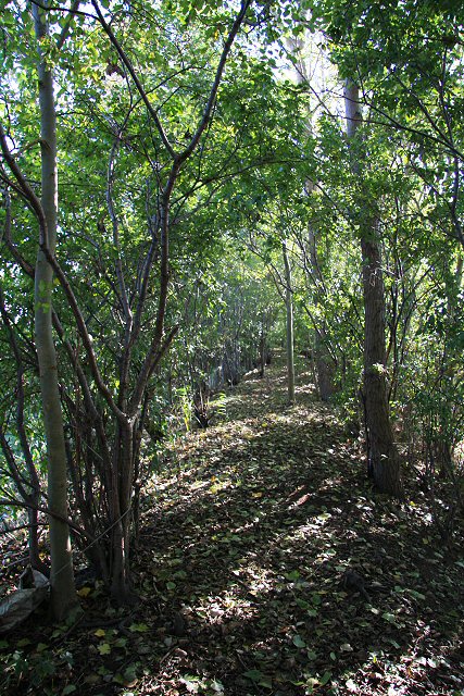
The water is surrounded by lush reed beds, providing a habitat for a wide variety of bird species. Reed warblers, marsh harriers, and bitterns are just a few examples of the numerous avian species that can be observed here throughout the year. This makes Claypits Water a prime location for birdwatching and photography.
The site is also home to a rich assortment of plant and animal life. Common water plants such as water lilies, duckweed, and bulrushes thrive in the marshy environment, while dragonflies and damselflies can be spotted darting across the water's surface. The ponds and pools are inhabited by various fish species, including carp and tench, attracting anglers looking to test their skills.
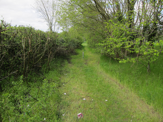
Claypits Water offers visitors the opportunity to explore its tranquil surroundings through a network of footpaths and boardwalks. These pathways allow visitors to observe the diverse flora and fauna up close, while also providing access to several bird hides strategically positioned for optimal viewing.
With its serene atmosphere, diverse wildlife, and stunning natural beauty, Claypits Water is a true gem of Suffolk's countryside, offering a peaceful retreat for those seeking to reconnect with nature.
If you have any feedback on the listing, please let us know in the comments section below.
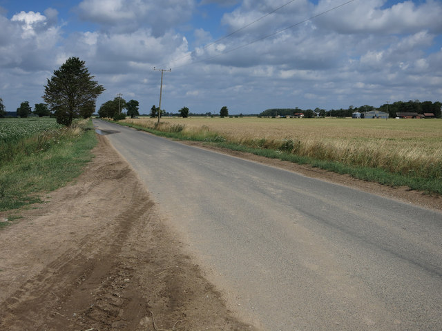
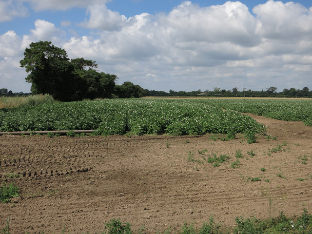
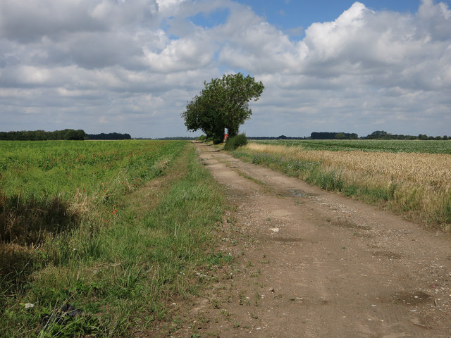
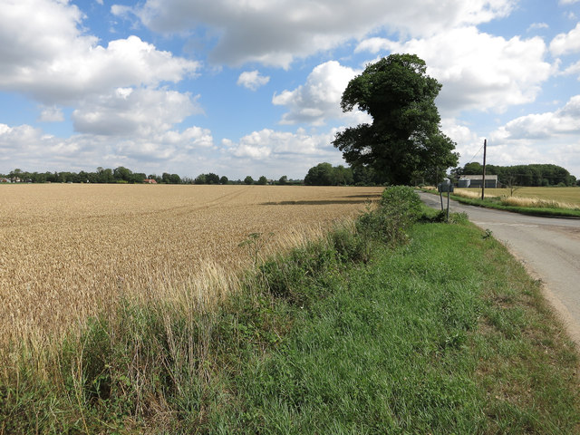
Claypits Water Images
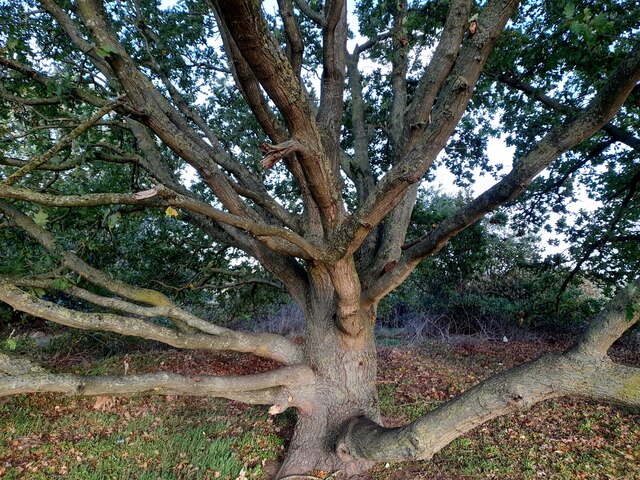
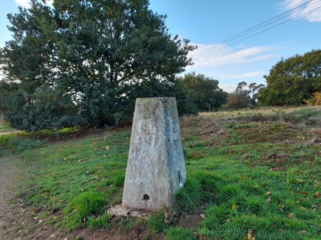
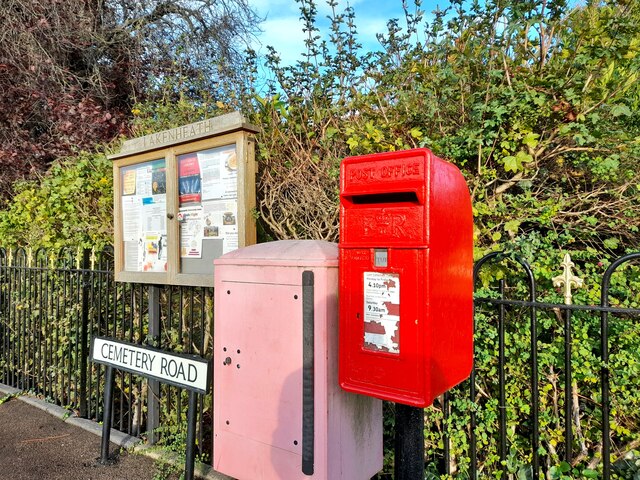
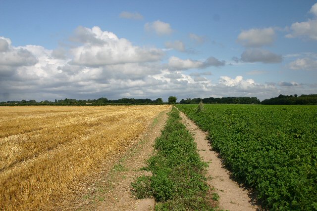
Images are sourced within 2km of 52.407234/0.51230826 or Grid Reference TL7081. Thanks to Geograph Open Source API. All images are credited.
Claypits Water is located at Grid Ref: TL7081 (Lat: 52.407234, Lng: 0.51230826)
Administrative County: Suffolk
District: West Suffolk
Police Authority: Suffolk
What 3 Words
///ejects.expand.stooping. Near Lakenheath, Suffolk
Nearby Locations
Related Wikis
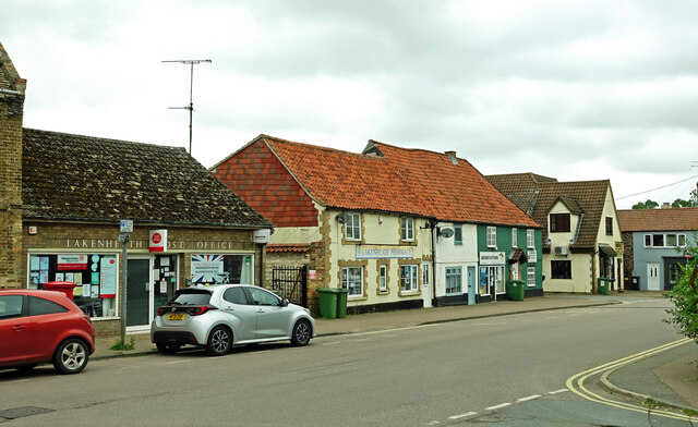
Lakenheath
Lakenheath is a village and civil parish in the West Suffolk district of Suffolk in eastern England. It has a population of 4,691 according to the 2011...

Lackford Hundred
Lackford was a hundred of Suffolk, consisting of 83,712 acres (338.77 km2). The hundred fills the north western corner of Suffolk and is triangular in...

Lakenheath Poor's Fen
Lakenheath Poor's Fen is a 5.2-hectare biological Site of Special Scientific Interest west of Lakenheath in Suffolk. This is mainly fen with diverse flora...
Lakenheath F.C.
Lakenheath Football Club is a football club based in Lakenheath, Suffolk, England. They are currently members of the Eastern Counties League Premier Division...
Nearby Amenities
Located within 500m of 52.407234,0.51230826Have you been to Claypits Water?
Leave your review of Claypits Water below (or comments, questions and feedback).