Danny Lake
Lake, Pool, Pond, Freshwater Marsh in Sussex Mid Sussex
England
Danny Lake
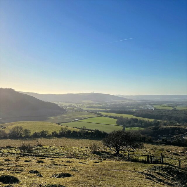
Danny Lake is a picturesque freshwater body located in Sussex, England. Nestled amidst lush surroundings, it is a popular destination for nature enthusiasts and those seeking tranquility. The lake covers an area of approximately 10 hectares and is known for its crystal-clear waters, making it ideal for various recreational activities.
Surrounded by dense woodlands, Danny Lake offers a serene and peaceful environment. Its calm waters provide an excellent spot for fishing enthusiasts, with a variety of species such as carp, pike, and roach inhabiting the lake. Anglers can be seen casting their lines from the banks or from small boats, enjoying the peaceful ambiance.
The lake’s ecosystem supports a diverse range of flora and fauna. The surrounding wetlands, known as freshwater marshes, are home to a variety of water-loving plants like reeds, rushes, and water lilies. These marshes serve as a habitat for numerous bird species, including ducks, swans, herons, and kingfishers, making it a haven for birdwatchers.
Visitors can explore the lake’s scenic beauty by taking a leisurely stroll along the winding footpaths that encircle the lake. The surrounding woodlands offer ample opportunities for hiking and wildlife spotting. The area is also equipped with picnic spots, allowing visitors to enjoy a relaxing meal amidst nature.
Overall, Danny Lake is a hidden gem in Sussex, offering a peaceful retreat for those seeking solace in nature. Its tranquil waters, diverse wildlife, and scenic surroundings make it a perfect destination for outdoor enthusiasts and those who appreciate the beauty of freshwater ecosystems.
If you have any feedback on the listing, please let us know in the comments section below.
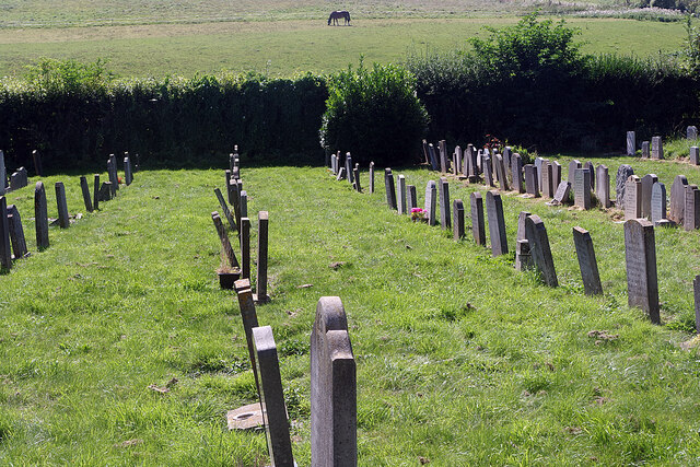
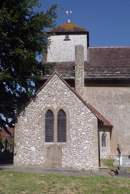
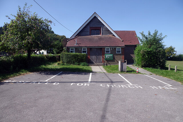
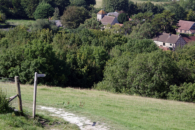
Danny Lake Images
Images are sourced within 2km of 50.923212/-0.16937249 or Grid Reference TQ2815. Thanks to Geograph Open Source API. All images are credited.
Danny Lake is located at Grid Ref: TQ2815 (Lat: 50.923212, Lng: -0.16937249)
Administrative County: West Sussex
District: Mid Sussex
Police Authority: Sussex
What 3 Words
///recorders.fillers.slurred. Near Hassocks, West Sussex
Nearby Locations
Related Wikis
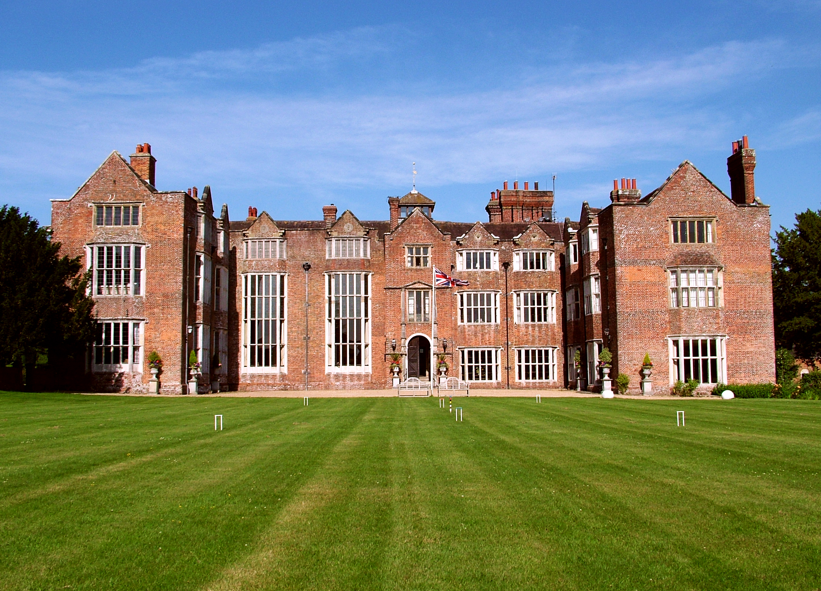
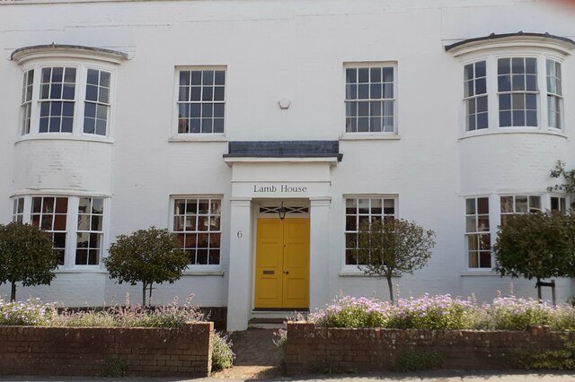
Danny House
Danny House is a Grade I listed Elizabethan red brick mansion near Hurstpierpoint in West Sussex, England. It lies at the northern foot of Wolstonbury...

Hurst Wickham
Hurst Wickham is a village in the Mid Sussex District of West Sussex, England. It lies just off the B2116 road, 2.1 miles (3.4 km) southeast of Burgess...

Hassocks
Hassocks is a village and civil parish in the Mid Sussex District of West Sussex, England. Its name is believed to derive from the tufts of grass found...
Hassocks F.C.
Hassocks Football Club is a football club based in Hassocks, near Brighton, West Sussex, England. The club is affiliated to the Sussex County Football...

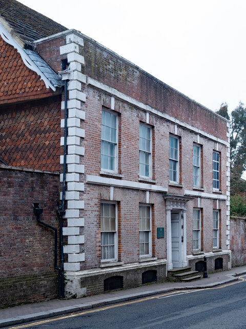
Mansion House, Hurstpierpoint
Mansion House is a prominent and historically significant Grade II* listed Georgian village property in Hurstpierpoint, West Sussex, England. The substantial...
Hurstpierpoint
Hurstpierpoint is a village in West Sussex, England, 4 miles (6.4 km) southwest of Burgess Hill, and 1.5 miles (2.4 km) west of Hassocks railway station...
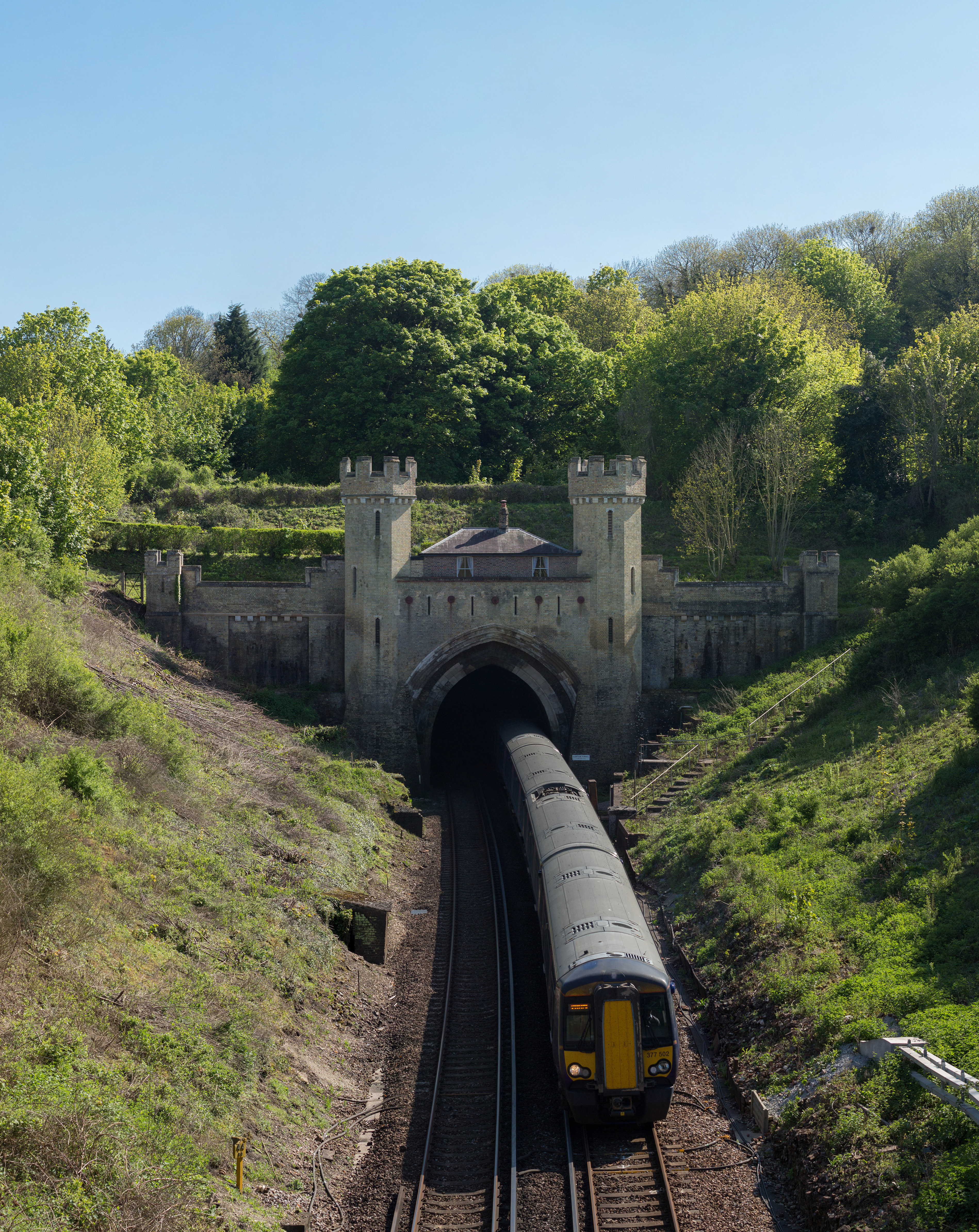
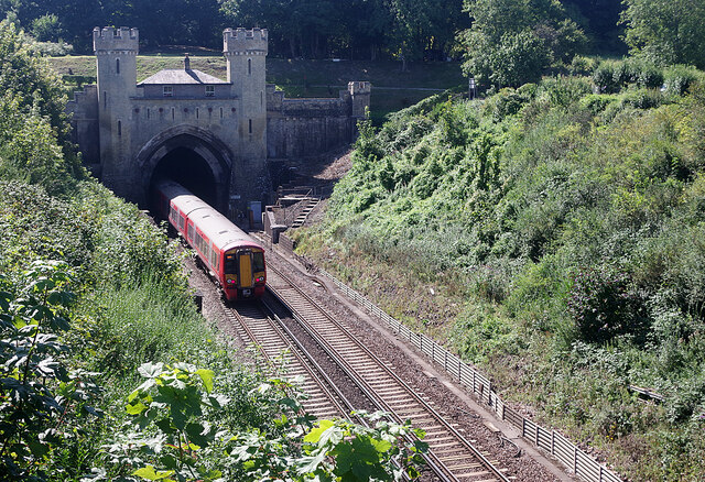
Clayton Tunnel
Clayton Tunnel is a railway tunnel located near the villages of Clayton and Pyecombe in West Sussex, between Hassocks and Preston Park railway stations...

Clayton Tunnel rail crash
The Clayton Tunnel rail crash occurred on Sunday 25 August 1861, five miles (8 km) from Brighton on the south coast of England. At the time it was the...
Nearby Amenities
Located within 500m of 50.923212,-0.16937249Have you been to Danny Lake?
Leave your review of Danny Lake below (or comments, questions and feedback).