Hammond's Pond

Lake, Pool, Pond, Freshwater Marsh in Surrey Surrey Heath

England

Hammond's Pond

Direction Sign – Signpost in Bagshot town centre Located on an island in Bagshot town centre, on junction of the B3029 High Street and The Square, Windlesham parish. 3 arms and lamp finial. See also <a title="https://www.geograph.org.uk/photo/1853870," href="https://www.geograph.org.uk/photo/1853870,">Link</a> <a title="https://www.geograph.org.uk/photo/4459418," href="https://www.geograph.org.uk/photo/4459418,">Link</a> <a title="https://www.geograph.org.uk/photo/4516021" href="https://www.geograph.org.uk/photo/4516021">Link</a> and <a title="https://www.geograph.org.uk/photo/4515974" href="https://www.geograph.org.uk/photo/4515974">Link</a>.

Milestone Society National ID: SY_SU9163
Direction Sign – Signpost in Bagshot town centre Credit: John V Nicholls

Hammond's Pond, located in Surrey, is a serene freshwater body that encompasses various natural features, including a lake, pool, pond, and freshwater marsh. Situated amidst picturesque surroundings, this water body offers a peaceful retreat for both locals and visitors alike.

The main attraction of Hammond's Pond is its expansive lake, which serves as a hub for recreational activities such as fishing, boating, and swimming. The crystal-clear waters are home to a diverse range of freshwater fish species, making it an ideal spot for anglers seeking a relaxing fishing experience. Boating enthusiasts can also take advantage of the lake's calm waters to enjoy a leisurely paddle or row.

Adjacent to the lake is a smaller pool, perfect for those looking for a more secluded and intimate swimming experience. With its shallow depths and gentle currents, the pool is suitable for families with young children or those seeking a refreshing dip in tranquil waters.

The pond itself is a smaller, more secluded body of water, offering a peaceful ambiance for nature lovers to observe local wildlife, including various bird species, amphibians, and reptiles. This natural habitat also provides a breeding ground for aquatic plants, adding to the aesthetic appeal of the area.

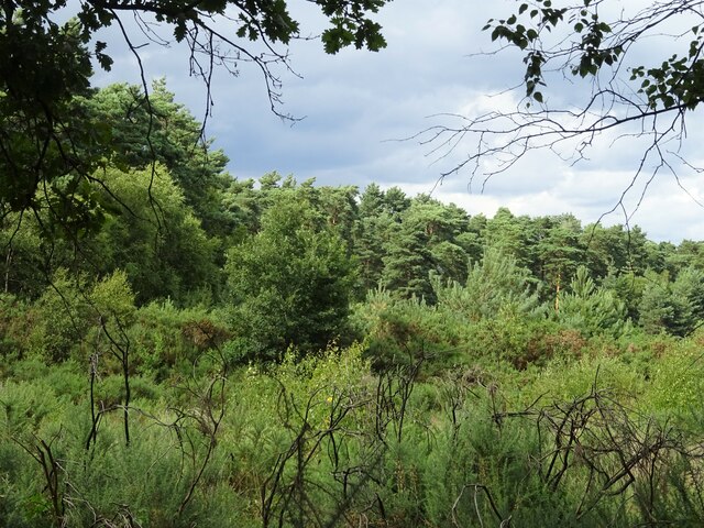
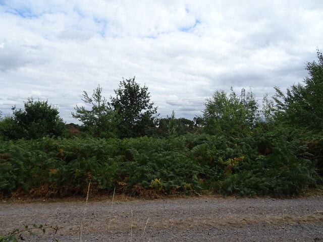
Lastly, the freshwater marsh surrounding Hammond's Pond serves as a vital ecological habitat, supporting a rich diversity of plant and animal life. Visitors can explore this marshland on designated walking trails, immersing themselves in the beauty of the surrounding wetlands.

Overall, Hammond's Pond in Surrey is a hidden gem, offering a range of recreational activities and a chance to connect with nature in a peaceful and idyllic setting.

If you have any feedback on the listing, please let us know in the comments section below.

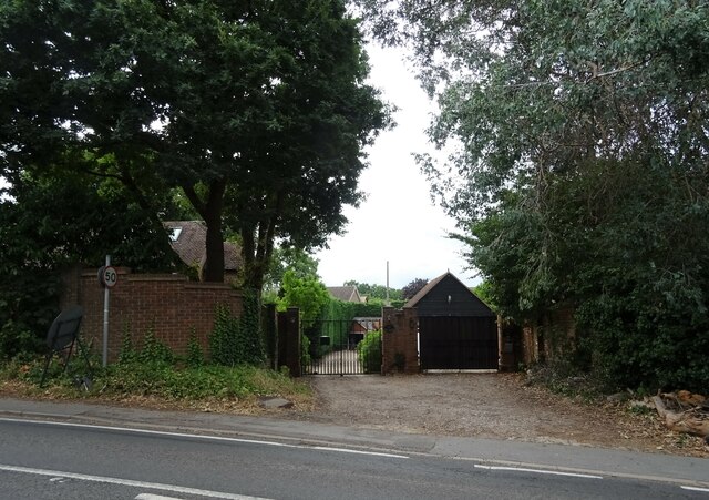
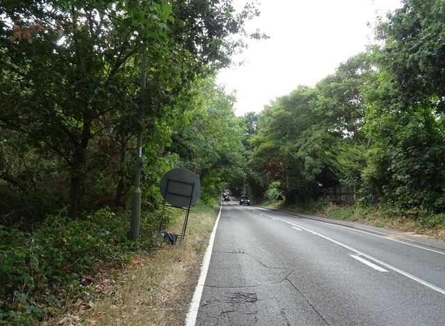
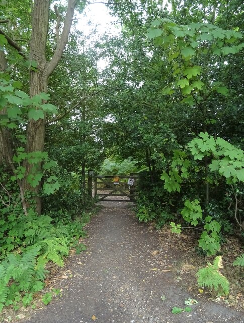
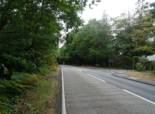
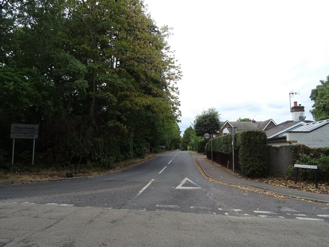
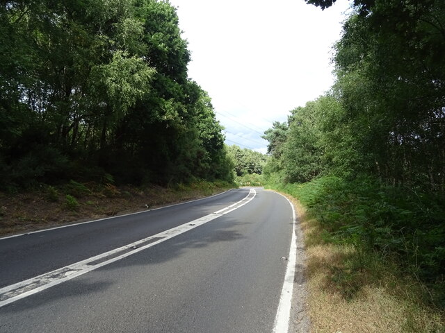
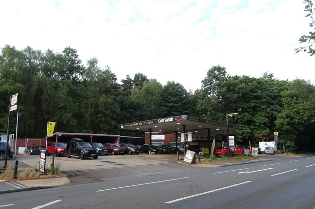
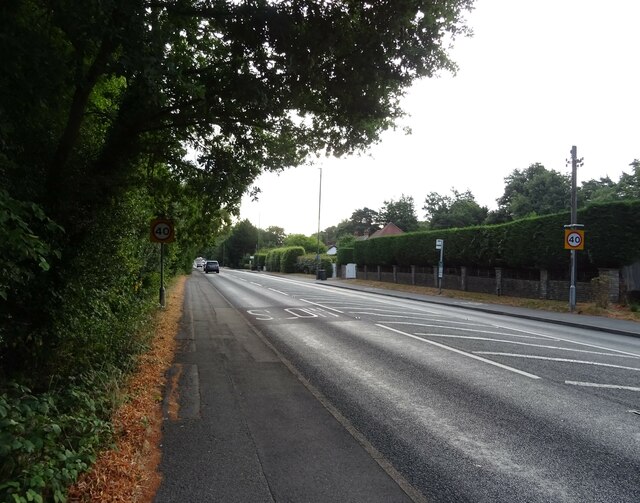
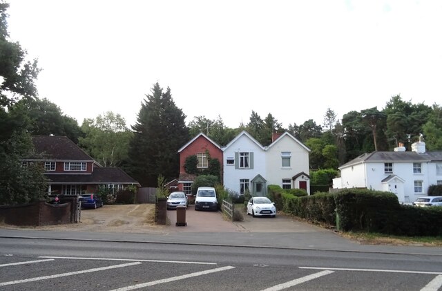
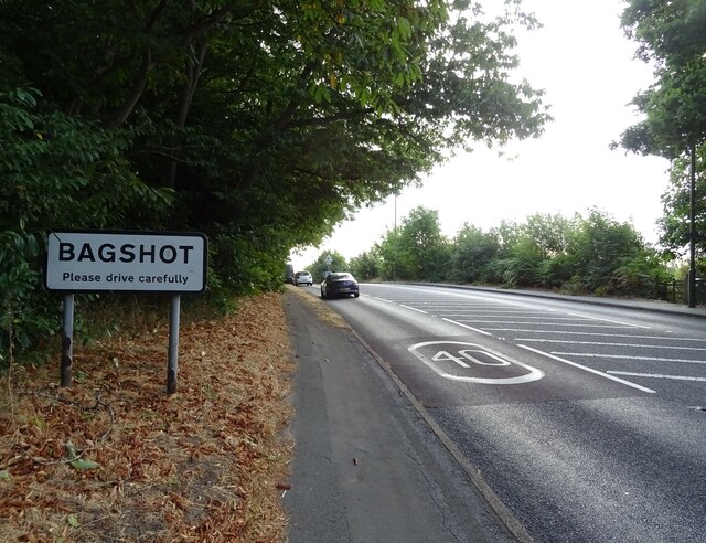
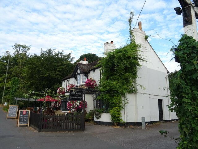
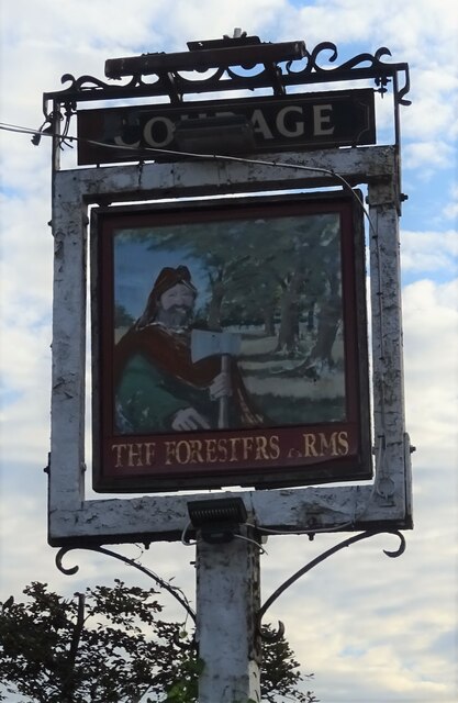
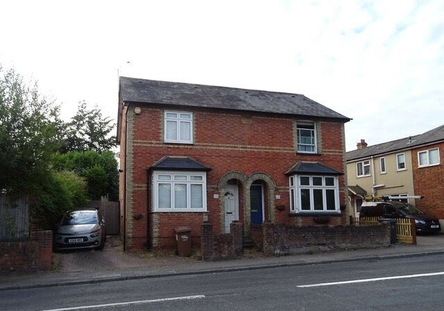
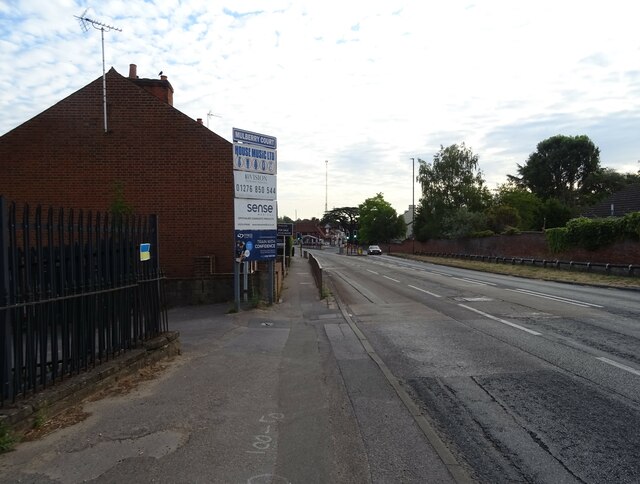
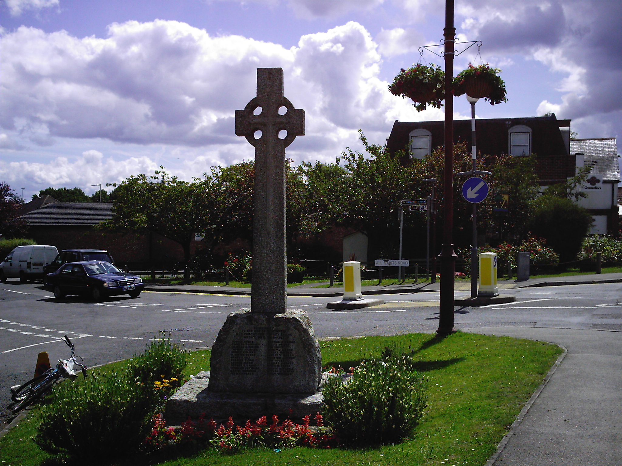
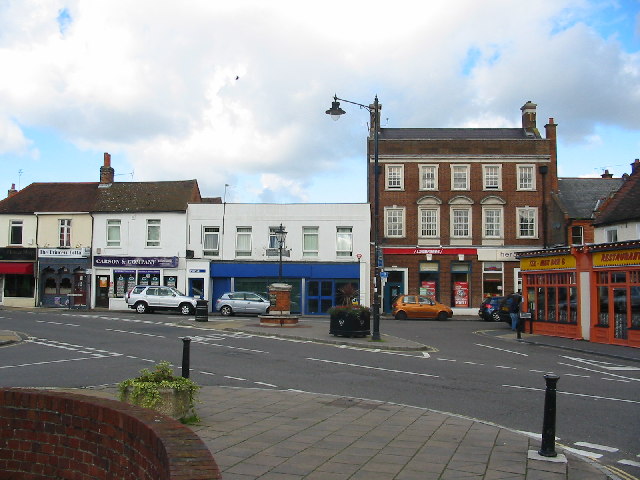
Hammond's Pond Images

Images are sourced within 2km of 51.352946/-0.68307133 or Grid Reference SU9162. Thanks to Geograph Open Source API. All images are credited.

Direction Sign – Signpost in Bagshot town centre Located on an island in Bagshot town centre, on junction of the B3029 High Street and The Square, Windlesham parish. 3 arms and lamp finial. See also <a title="https://www.geograph.org.uk/photo/1853870," href="https://www.geograph.org.uk/photo/1853870,">Link</a> <a title="https://www.geograph.org.uk/photo/4459418," href="https://www.geograph.org.uk/photo/4459418,">Link</a> <a title="https://www.geograph.org.uk/photo/4516021" href="https://www.geograph.org.uk/photo/4516021">Link</a> and <a title="https://www.geograph.org.uk/photo/4515974" href="https://www.geograph.org.uk/photo/4515974">Link</a>.

Milestone Society National ID: SY_SU9163
Direction Sign – Signpost in Bagshot town centre
Located on an island in Bagshot town centre, on junction of the B3029 High Street and The Square, Windlesham parish. 3 arms and lamp finial. See also Link Link Link and Link. Milestone Society National ID: SY_SU9163
Woodland, Turf Hill
Woodland, Turf Hill
Red Road (B311) Looking west.
Red Road (B311)
Looking west.
Westend Common South of Red Road.
Westend Common
South of Red Road.
Gateway on Red Road (B311)
Red Road (B311) Towards Frimley.
Red Road (B311)
Towards Frimley.
Path onto Westend Common From Red Road.
Path onto Westend Common
From Red Road.
Red Road (B311) Towards Frimley.
Red Road (B311)
Towards Frimley.
Macdonald Road Off Red Road (B311).
Macdonald Road
Off Red Road (B311).
Red Road (B311)
Red Road (B311)
Car sales on London Road (A30)
London Road (A30) Towards Bagshot.
London Road (A30)
Towards Bagshot.
Houses on London Road (A30)
Entering Bagshot On London Road (A30).
Entering Bagshot
On London Road (A30).
The Foresters Arms, Bagshot On London Road.
See <a href="https://www.geograph.org.uk/photo/7256326">SU9062 : Sign for the Foresters Arms, Bagshot</a> for sign.
The Foresters Arms, Bagshot
On London Road. See SU9062 : Sign for the Foresters Arms, Bagshot for sign.
Sign for the Foresters Arms, Bagshot See <a href="https://www.geograph.org.uk/photo/7256324">SU9062 : The Foresters Arms, Bagshot</a> for public house.
Sign for the Foresters Arms, Bagshot
See SU9062 : The Foresters Arms, Bagshot for public house.
Houses on the A30, Bagshot
A30 through Bagshot
A30 through Bagshot
Show me another place!

Hammond's Pond is located at Grid Ref: SU9162 (Lat: 51.352946, Lng: -0.68307133)

Administrative County: Surrey

District: Surrey Heath

Police Authority: Surrey

What 3 Words

///rarely.snapper.computers. Near Lightwater, Surrey

Nearby Locations

Hammond's Pond

Related Wikis

Bagshot Rural District

Bashot Rural District was a rural district in the administrative county of Surrey, England from 1933 to 1974, covering an area in the north-west of the...

Windlesham Arboretum

Windlesham Arboretum is between the villages of Windlesham and Lightwater in Surrey, United Kingdom, just south of Junction 3 on the M3. The arboretum...

Lightwater

Lightwater is a village in the Surrey Heath district of Surrey, England, about 27 miles (43 km) southwest of central London. Immediately surrounding towns...

Surrey Heath (UK Parliament constituency)

Surrey Heath is a constituency represented in the House of Commons of the UK Parliament since 2005 by Michael Gove, a Conservative who has also been the...

Bagshot railway station

Bagshot railway station serves the village of Bagshot, in the west of Surrey, England. The station, and all trains calling there, are operated by South...

Bagshot

Bagshot is a large village in the Surrey Heath borough of Surrey, England, approximately 26 miles (42 km) southwest of central London. In the past, Bagshot...

Windlesham

Windlesham is a village in the Surrey Heath borough of Surrey, England, approximately 25 miles (40 km) south west of central London. Its name derives from...

Pennyhill Park Hotel

Pennyhill Park Hotel is a 19th-century country house hotel and spa in Bagshot, Surrey in the south east of England. == History == The first historical...

Nearby Amenities

Located within 500m of 51.352946,-0.68307133
Crossing
Bicycle: yes
Crossing: traffic_signals
Crossing Ref: toucan
Kerb: lowered
Source: survey
Tactile Paving: yes
Lat/Long: 51.3550893/-0.6801069
Crossing
Crossing: unmarked
Kerb: lowered
Sloped Curb: yes
Source: seen on journey
Lat/Long: 51.3540439/-0.6764215
Crossing
Crossing Island: yes
Kerb: lowered
Sloped Curb: yes
Source: Bing;survey
Lat/Long: 51.3546991/-0.6791136
Crossing
Crossing: unmarked
Kerb: lowered
Sloped Curb: yes
Tactile Paving: no
Lat/Long: 51.3556271/-0.6798425
Barrier: cycle_barrier
Lat/Long: 51.3519081/-0.6892623
Crossing
Crossing: unmarked
Kerb: lowered
Sloped Curb: yes
Lat/Long: 51.353668/-0.6880224
Phone
Emergency: phone
Ref: 1455A
Lat/Long: 51.3555044/-0.6810509
Bus Stop
Badger Drive
Naptan AtcoCode: 40004403200A
Naptan Bearing: NW
Naptan CommonName: Badger Drive
Naptan Indicator: NW-bound
Naptan Landmark: Mount Pleasant Close
Naptan NaptanCode: surgatjw
Naptan Street: Badger Drive
Naptan Verified: no
Public Transport: platform
Source: naptan_import
Lat/Long: 51.3502231/-0.678768
Bus Stop
Badger Drive
Naptan AtcoCode: 40004403200B
Naptan Bearing: SE
Naptan CommonName: Badger Drive
Naptan Indicator: SE-bound
Naptan Landmark: Aplin Way
Naptan NaptanCode: surgatma
Naptan Street: Badger Drive
Naptan Verified: no
Public Transport: platform
Source: naptan_import
Lat/Long: 51.3499341/-0.6782476
Bus Stop
Stonehill Road
Naptan AtcoCode: 40004403201A
Naptan Bearing: NE
Naptan CommonName: Stonehill Road
Naptan Indicator: Just Before
Naptan Landmark: Stonehill Road
Naptan NaptanCode: surgatmd
Naptan Street: The Avenue
Naptan Verified: no
Public Transport: platform
Source: naptan_import
Lat/Long: 51.3519212/-0.6779303
Bus Stop
Stonehill Road
Naptan AtcoCode: 40004403201B
Naptan Bearing: SW
Naptan CommonName: Stonehill Road
Naptan Indicator: Just after
Naptan Landmark: Stonehill Road
Naptan NaptanCode: surgatmg
Naptan Street: The Avenue
Naptan Verified: no
Public Transport: platform
Source: naptan_import
Wheelchair: yes
Lat/Long: 51.3518462/-0.6777757
Polling Station: 2010
Lat/Long: 51.3551924/-0.6890687
Crossing
Bicycle: yes
Crossing: traffic_signals
Crossing Ref: toucan
Kerb: lowered
Source: survey
Tactile Paving: yes
Lat/Long: 51.354893/-0.6798112
Junction: give_way
Lat/Long: 51.3541321/-0.6767684
Junction: give_way
Lat/Long: 51.3543492/-0.6765449
Milestone
Distance: 45.7
Ref: A 45.7
Lat/Long: 51.3542838/-0.6841266
Crossing
Crossing: unmarked
Kerb: lowered
Sloped Curb: yes
Tactile Paving: no
Lat/Long: 51.3564516/-0.6808241
Traffic Signals
Source: seen on journey
Traffic Signals Direction: forward
Lat/Long: 51.3551339/-0.6800509
Traffic Signals
Source: Surrey Air Survey
Traffic Signals Direction: forward
Lat/Long: 51.3556833/-0.6824603
Crossing
Bicycle: yes
Crossing: traffic_signals
Crossing Ref: toucan
Kerb: lowered
Source: survey
Tactile Paving: yes
Lat/Long: 51.3557158/-0.6822153
Give Way
Direction: forward
Lat/Long: 51.3569497/-0.6823786
Crossing
Bicycle: yes
Crossing: traffic_signals
Crossing Ref: toucan
Kerb: lowered
Source: survey
Tactile Paving: yes
Lat/Long: 51.3557238/-0.6824304
Lighwater Leisure Centre
Building: yes
Leisure: sports_centre
Sport: soccer
Wheelchair: yes
Lat/Long: 51.3496702/-0.6855898
Crossing
Crossing Island: yes
Kerb: lowered
Sloped Curb: yes
Source: Bing;survey
Lat/Long: 51.3543546/-0.6778118
Crossing
Crossing: unmarked
Kerb: lowered
Sloped Curb: yes
Lat/Long: 51.3568754/-0.6825682
Crossing
Crossing Island: yes
Kerb: lowered
Sloped Curb: yes
Source: Bing;survey
Lat/Long: 51.3548106/-0.6790506
Crossing
Crossing: unmarked
Kerb: lowered
Sloped Curb: yes
Source: SAS
Lat/Long: 51.3547238/-0.6793388
Crossing
Crossing Island: yes
Kerb: lowered
Sloped Curb: yes
Source: Bing;survey
Lat/Long: 51.354492/-0.6776858
Crossing
Crossing Island: yes
Kerb: lowered
Sloped Curb: yes
Source: Bing;survey
Lat/Long: 51.354658/-0.6781821
Bench
Backrest: no
Lat/Long: 51.3511108/-0.6802874
Crossing
Crossing: unmarked
Kerb: lowered
Sloped Curb: yes
Source: Bing;survey
Lat/Long: 51.3548482/-0.6781682
Stone Hill
Place: locality
Lat/Long: 51.3536236/-0.6779545
Traffic Signals
Source: Surrey Air Survey
Traffic Signals Direction: forward
Lat/Long: 51.3556678/-0.6800595
Traffic Signals
Source: Surrey Air Survey
Traffic Signals Direction: forward
Lat/Long: 51.3556645/-0.6798114
Traffic Signals
Source: Surrey Air Survey
Traffic Signals Direction: forward
Lat/Long: 51.3556814/-0.6821927
Traffic Signals
Source: seen on journey
Traffic Signals Direction: forward
Lat/Long: 51.3548716/-0.679734
Turning Circle
Source: Surrey Air Survey
Lat/Long: 51.3567341/-0.6808817
Barrier: bollard
Lat/Long: 51.3569002/-0.6851208
Crossing
Crossing: unmarked
Kerb: lowered
Sloped Curb: yes
Source: survey
Lat/Long: 51.3567035/-0.6841217
Barrier: bollard
Lat/Long: 51.3564672/-0.6853297
Crossing
Crossing: unmarked
Kerb: lowered
Sloped Curb: yes
Source: survey
Lat/Long: 51.3559472/-0.6852735
Cafe
Lightwater Country Park Cafe
Addr City: Lightwater
Addr Postcode: GU18 5RG
Addr Street: The Avenue
Cuisine: coffee_shop
Lat/Long: 51.3507236/-0.6828479
Post Box
Collection Times: Mo-Fr 09:00; Sa 07:00
Mapillary: 216015403399678
Operator: Royal Mail
Operator Wikidata: Q638098
Post Box Mounting: pier
Post Box Type: lamp
Ref: GU19 122
Survey Date: 2020-09-30
Lat/Long: 51.3535001/-0.6898643
Motorway Junction
Bagshot
Ref: 3
Lat/Long: 51.3534525/-0.6867153
Crossing
Crossing: unmarked
Kerb: lowered
Sloped Curb: yes
Source: survey
Lat/Long: 51.3535306/-0.6896726
Barrier: bollard
Lat/Long: 51.3548388/-0.6895033
Phone
Emergency: phone
Ref: 1455B
Lat/Long: 51.3557686/-0.681322
The Scout Association
Brand: The Scout Association
Brand Wikidata: Q849740
Building: hut
Club: scout
Source: seen from bridleway
Lat/Long: 51.3518606/-0.6797362
Barrier: kerb
Lat/Long: 51.3505695/-0.6801676
Barrier: swing_gate
Lat/Long: 51.3506205/-0.68027
Give Way
Lat/Long: 51.3532246/-0.6901672
Addr City: Bagshot
Addr Housenumber: 15,16
Addr Postcode: GU19 5QN
Addr Street: Laird Court
Entrance: home
Lat/Long: 51.3540018/-0.6894441
Addr City: Bagshot
Addr Housenumber: 5,6,7,8,9,10
Addr Postcode: GU19 5QN
Addr Street: Laird Court
Entrance: home
Lat/Long: 51.3540694/-0.6893102
Give Way
Direction: forward
Lat/Long: 51.3535542/-0.6899259
Addr City: Bagshot
Addr Housenumber: 24
Addr Postcode: GU19 5QN
Addr Street: Laird Court
Entrance: home
Lat/Long: 51.353864/-0.6891327
Addr City: Bagshot
Addr Housenumber: 23
Addr Postcode: GU19 5QN
Addr Street: Laird Court
Entrance: home
Lat/Long: 51.3538804/-0.6891104
Addr City: Bagshot
Addr Housenumber: 14
Addr Postcode: GU19 5QN
Addr Street: Laird Court
Entrance: home
Lat/Long: 51.3541298/-0.6895294
Addr City: Bagshot
Addr Housenumber: 12,13
Addr Postcode: GU19 5QN
Addr Street: Laird Court
Entrance: home
Lat/Long: 51.354139/-0.6895121
Addr City: Bagshot
Addr Housenumber: 11
Addr Postcode: GU19 5QN
Addr Street: Laird Court
Entrance: home
Lat/Long: 51.3541492/-0.6894929
Entrance: main
Lat/Long: 51.3551352/-0.6891026
Entrance: main
Lat/Long: 51.3551618/-0.6891084
Power: transformer
Lat/Long: 51.3535885/-0.6893089
Give Way
Direction: backward
Lat/Long: 51.3562372/-0.6848424
Give Way
Direction: backward
Lat/Long: 51.3558374/-0.6854067
Give Way
Direction: backward
Lat/Long: 51.3542495/-0.6866399
Speed Camera
Maxspeed: 70 mph
Lat/Long: 51.354811/-0.6832929
Speed Camera
Maxspeed: 70 mph
Lat/Long: 51.3522158/-0.6891884
Barrier: yes
Lat/Long: 51.3493545/-0.6804439
Generator Method: photovoltaic
Generator Output Electricity: yes
Generator Source: solar
Generator Type: solar_photovoltaic_panel
Location: roof
Power: generator
Lat/Long: 51.3502994/-0.6802002
Generator Method: photovoltaic
Generator Output Electricity: yes
Generator Source: solar
Generator Type: solar_photovoltaic_panel
Location: roof
Power: generator
Lat/Long: 51.3498354/-0.6785104
The data included in this document is from www.openstreetmap.org. The data is made available under ODbL.

Have you been to Hammond's Pond?

Leave your review of Hammond's Pond below (or comments, questions and feedback).