Victoria Reservoir

Lake, Pool, Pond, Freshwater Marsh in Surrey Waverley

England

Victoria Reservoir

Oast House
Oast House Credit: Oast House Archive

Victoria Reservoir, located in Surrey, is a prominent freshwater body that serves as a reservoir for drinking water supply and a recreational area for local residents. Spanning an area of approximately 100 acres, this man-made lake is nestled in a picturesque setting surrounded by lush greenery and rolling hills.

Originally constructed in the late 19th century, the Victoria Reservoir was designed to store water from the local river system for distribution to nearby towns and villages. It boasts a capacity of around 1 million gallons, ensuring a stable water supply for the region. The reservoir is primarily fed by rainfall and runoff from the surrounding catchment area.

Aside from its practical function, Victoria Reservoir has become a popular spot for outdoor enthusiasts. The expansive water body offers various recreational activities such as fishing, boating, and birdwatching. Anglers can expect a diverse range of fish species, including carp, pike, and roach, making it an ideal destination for fishing enthusiasts.

The reservoir also supports a thriving ecosystem, with its shores and surrounding wetlands acting as a haven for numerous bird species. Visitors can often spot waterfowl such as ducks and swans, as well as more elusive species like herons and kingfishers. The freshwater marsh adjoining the lake further enhances its ecological value, providing a habitat for various plants, insects, and amphibians.

Overall, Victoria Reservoir is a multi-purpose water body that not only fulfills an essential role in the water supply infrastructure but also offers an idyllic setting for recreational activities and supports a diverse range of wildlife.

If you have any feedback on the listing, please let us know in the comments section below.

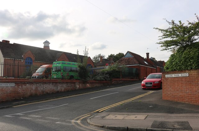
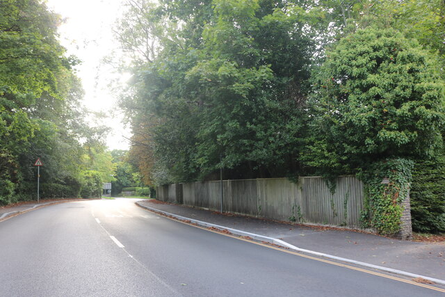
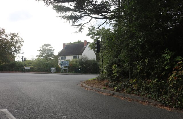
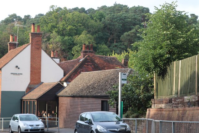
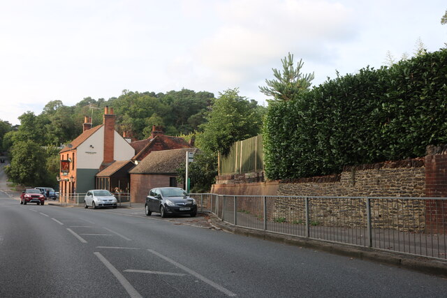
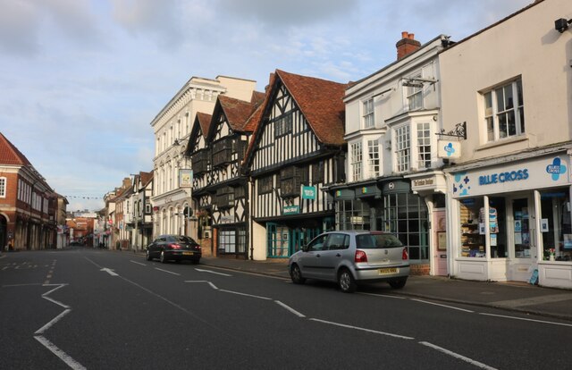
Victoria Reservoir Images

Images are sourced within 2km of 51.203773/-0.79318368 or Grid Reference SU8445. Thanks to Geograph Open Source API. All images are credited.

Oast House Single round kiln oast house (hop kiln). Missing kiln roof.

Grade II listed.
Oast House
Single round kiln oast house (hop kiln). Missing kiln roof. Grade II listed.
The Albion Tavern, Farnham
Farnham fire station
Adams Park Road, Farnham Challengers Nursery is on the left.
Adams Park Road, Farnham
Challengers Nursery is on the left.
Great Austins, Farnham
Old Farnham Lane at the junction of Frensham Road
View by Frensham Road, Bourne Looking towards The Fox pub.
View by Frensham Road, Bourne
Looking towards The Fox pub.
Frensham Road, Bourne Looking towards The Fox pub.
Frensham Road, Bourne
Looking towards The Fox pub.
House on Frensham Road, Bourne
Gong Hill entering Farnham
Temporary lights on Frensham Road, Bourne
Frensham Road, Bourne
Priory Court, Farnham
Firgrove Hill, Farnham
The Borough, Farnham
Heald Nickinson solicitors, Farnham This was Enchanted Wood Toys only a year or two ago.
Heald Nickinson solicitors, Farnham
This was Enchanted Wood Toys only a year or two ago.
Show me another place!

Victoria Reservoir is located at Grid Ref: SU8445 (Lat: 51.203773, Lng: -0.79318368)

Administrative County: Surrey

District: Waverley

Police Authority: Surrey

What 3 Words

///saying.fondest.centuries. Near Farnham, Surrey

Related Wikis

Farnham Grammar School

Farnham Grammar School is now called Farnham College which is located in Farnham, Surrey, southern England. == History == The grammar school was created...

Farnham College

Farnham College is a coeducational sixth form college in Farnham in the English county of Surrey. It has a single campus in a residential area just to...

South Farnham School

South Farnham School is a coeducational academy in Farnham, Surrey, England. It is located on two separate sites, with the Infants Section for children...

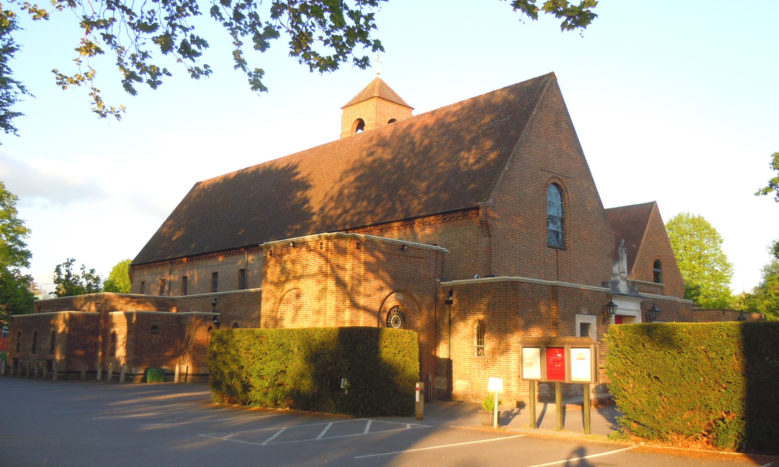
St Joan of Arc's Church, Farnham

St Joan of Arc Church is a Roman Catholic Parish church in Farnham, Surrey. It was founded in 1890 and built in its present location in 1929. It was decided...

Farnham railway station

Farnham railway station serves the town of Farnham in Surrey, England. Train services are provided by South Western Railway, with direct trains running...

Farnham Maltings

Farnham Maltings is a creative arts centre in the heart of the market town of Farnham in Surrey, England == History == Farnham Maltings was bought by the...

Green Lane Cemetery, Farnham

Green Lane Cemetery is a small cemetery on Green Lane in Farnham in Surrey, one of four cemeteries owned and maintained by Farnham Town Council. The Chapel...

Farnham Town Hall

Farnham Town Hall is a municipal building in South Street, Farnham, Surrey, England. It provides the offices and the meeting place of Farnham Town Council...

Nearby Amenities

Located within 500m of 51.203773,-0.79318368
Crossing
Crossing: uncontrolled
Crossing Ref: zebra
Kerb: lowered
Sloped Curb: yes
Lat/Long: 51.2023084/-0.7963968
Crossing
Crossing: unmarked
Kerb: lowered
Sloped Curb: yes
Lat/Long: 51.200098/-0.7961478
Bench
Lat/Long: 51.205239/-0.7962666
Tesco Express
Addr City: Farnham
Addr County: Surrey
Addr Housenumber: 29-31
Addr Postcode: GU9 8NN
Addr Street: Ridgway Road
Brand: Tesco Express
Brand Wikidata: Q98456772
Contact Website: https://www.tesco.com/store-locator/farnham/29-31-ridgway-rd
Fhrs Id: 221467
Shop: supermarket
Source Addr: FHRS Open Data
Wheelchair: yes
Lat/Long: 51.2024927/-0.7957252
Atm
RBS
Cash In: no
Drive Through: no
Fee: no
Operator: RBS
Lat/Long: 51.2025389/-0.7956947
Ridgway Court
Building: apartments
Note: Elderly people's home, I believe
Operator: Abbeyfield
Lat/Long: 51.2025127/-0.7963434
Parking
Ridgway Court
Access: private
Parking: surface
Lat/Long: 51.20281/-0.796882
Post Box
Collection Times: Mo-Fr 17:15; Sa 11:30
Post Box Type: pillar
Postal Code: GU9
Ref: GU9 140
Royal Cypher: GR
Royal Cypher Wikidata: Q33102273
Lat/Long: 51.2016576/-0.7980428
Bus Stop
Langham Recreation Ground
Bus: yes
Naptan AtcoCode: 40004411047A
Naptan Bearing: SW
Naptan CommonName: Langham Recreation Ground
Naptan Indicator: adj
Naptan Landmark: Langham Recreation Ground
Naptan NaptanCode: surdtgwj
Naptan PlusbusZoneRef: ALDRSHT
Naptan Street: Ridgeway Road
Naptan Verified: no
Public Transport: platform
Source: naptan_import
Lat/Long: 51.2018362/-0.7973585
Bus Stop
Upper Way / Ryle Road
Bench: no
Bin: no
Bus: yes
Departures Board: timetable
Lit: no
Naptan AtcoCode: 40004411313C
Naptan Bearing: NE
Naptan CommonName: Upper Way
Naptan Indicator: On
Naptan Landmark: Weydon Estate
Naptan NaptanCode: surdwjtp
Naptan PlusbusZoneRef: ALDRSHT
Naptan Street: Upper Way
Naptan Verified: no
Public Transport: platform
Shelter: yes
Source: naptan_import
Tactile Paving: no
Lat/Long: 51.2054235/-0.7997944
Bus Stop
Ridgeway Road
Bench: no
Bin: yes
Lit: no
Naptan AtcoCode: 40004411335A
Naptan Bearing: NW
Naptan CommonName: Ridgeway Road
Naptan Indicator: Just Before
Naptan Landmark: Ridgeway Road
Naptan NaptanCode: surdwmjd
Naptan PlusbusZoneRef: ALDRSHT
Naptan Street: Frensham Road
Naptan Verified: no
Shelter: no
Source: naptan_import
Lat/Long: 51.2035159/-0.7936789
Bus Stop
Ridgeway Road
Bench: no
Bin: no
Naptan AtcoCode: 40004411335B
Naptan Bearing: S
Naptan CommonName: Ridgeway Road
Naptan Indicator: Just after
Naptan Landmark: Ridgeway Road
Naptan NaptanCode: surdwmjg
Naptan PlusbusZoneRef: ALDRSHT
Naptan Street: Frensham Road
Naptan Verified: no
Shelter: no
Source: naptan_import
Lat/Long: 51.2034058/-0.793467
Bus Stop
Ridgway Hill Road
Bench: no
Bin: no
Bus: yes
Lit: yes
Naptan AtcoCode: 40004411335C
Naptan Bearing: SW
Naptan CommonName: Post Office
Naptan Indicator: adj
Naptan Landmark: Post Office
Naptan NaptanCode: surdwmjm
Naptan PlusbusZoneRef: ALDRSHT
Naptan Street: Ridgway Road
Naptan Verified: no
Public Transport: platform
Shelter: no
Source: naptan_import
Lat/Long: 51.2033288/-0.7947144
Bus Stop
Ridgway Hill Road
Bench: no
Bin: no
Bus: yes
Lit: yes
Naptan AtcoCode: 40004411335D
Naptan Bearing: NE
Naptan CommonName: Post Office
Naptan Indicator: Opp
Naptan Landmark: Post Office
Naptan NaptanCode: surdwmjp
Naptan PlusbusZoneRef: ALDRSHT
Naptan Street: Ridgway Road
Naptan Verified: no
Public Transport: platform
Shelter: no
Source: naptan_import
Lat/Long: 51.2036132/-0.7943921
Bus Stop
Sheep House
Bench: no
Bin: yes
Lit: yes
Naptan AtcoCode: 40004411336A
Naptan Bearing: NW
Naptan CommonName: Sheep House
Naptan Indicator: Just after
Naptan Landmark: Sheep House
Naptan NaptanCode: surdwmjt
Naptan PlusbusZoneRef: ALDRSHT
Naptan Street: Firgrove Hill
Naptan Verified: no
Shelter: no
Source: naptan_import
Tactile Paving: no
Lat/Long: 51.2068992/-0.79475
Bus Stop
Sheep House
Bench: no
Bin: no
Lit: yes
Naptan AtcoCode: 40004411336B
Naptan Bearing: S
Naptan CommonName: Sheep House
Naptan Indicator: Opp
Naptan Landmark: Sheep House
Naptan NaptanCode: surdwmjw
Naptan PlusbusZoneRef: ALDRSHT
Naptan Street: Firgrove Hill
Naptan Verified: no
Shelter: no
Source: naptan_import
Lat/Long: 51.2061993/-0.7940239
Bus Stop
Langham Recreation Ground
Bus: yes
Naptan AtcoCode: 40004411523A
Naptan Bearing: NE
Naptan CommonName: Langham Recreation Ground
Naptan Indicator: Opp
Naptan Landmark: Langham Recreation Ground
Naptan NaptanCode: surgjtam
Naptan PlusbusZoneRef: ALDRSHT
Naptan Street: Ridgeway Road
Naptan Verified: no
Public Transport: platform
Source: naptan_import
Lat/Long: 51.20182/-0.7975307
Crossing
Crossing: traffic_signals
Crossing Ref: pelican
Kerb: lowered
Tactile Paving: yes
Lat/Long: 51.2038582/-0.7939091
Give Way
Direction: forward
Lat/Long: 51.2019189/-0.7900914
Post Box
Brand: Royal Mail
Brand Wikidata: Q638098
Collection Times: Mo-Fr 09:00; Sa 07:00
Colour: red
Covered: yes
Drive Through: no
Material: brick
Old Ref: GU9 65
Operator: Royal Mail
Operator Wikidata: Q638098
Post Box Type: wall
Postal Code: GU9
Ref: GU9 65D
Royal Cypher: EIIR
Royal Cypher Wikidata: Q33102113
Lat/Long: 51.2017576/-0.7899593
Give Way
Direction: backward
Lat/Long: 51.2031401/-0.7910023
Give Way
Direction: forward
Lat/Long: 51.2045244/-0.7877837
Give Way
Direction: backward
Lat/Long: 51.2081089/-0.7915602
Give Way
Direction: backward
Lat/Long: 51.2015676/-0.791228
Traffic Signals
Traffic Signals: signal
Traffic Signals Direction: forward
Lat/Long: 51.203842/-0.7939524
Traffic Signals
Traffic Signals: signal
Traffic Signals Direction: backward
Lat/Long: 51.2037317/-0.7937583
Crossing
Crossing: traffic_signals
Crossing Ref: pelican
Kerb: lowered
Sloped Curb: yes
Tactile Paving: yes
Lat/Long: 51.2037807/-0.7937843
Traffic Signals
Traffic Signals: signal
Traffic Signals Direction: forward
Lat/Long: 51.2039294/-0.7936151
Traffic Signals
Traffic Signals: signal
Traffic Signals Direction: forward
Lat/Long: 51.2040938/-0.7938459
Crossing
Crossing: unmarked
Kerb: lowered
Sloped Curb: yes
Lat/Long: 51.2037423/-0.7938749
Give Way
Direction: forward
Lat/Long: 51.2035397/-0.7864332
Give Way
Direction: forward
Lat/Long: 51.2016232/-0.7900077
The Lavender Hill Company
Addr City: Farnham
Addr Housenumber: 33-35
Addr Postcode: GU9 8NN
Addr Street: Ridgway Road
Shop: florist
Website: http://www.lavenderhillcompany.com/
Lat/Long: 51.2024216/-0.7958641
Ridgway Hair & Beauty Salon
Addr City: Farnham
Addr Housenumber: 37
Addr Street: Ridgway Road
Shop: hairdresser
Lat/Long: 51.202389/-0.7959147
Morgan's Butchers and Deli
Addr City: Farnham
Addr Housenumber: 39
Addr Postcode: GU9 8NN
Addr Street: Ridgway Road
Shop: butcher
Website: http://www.morgansbutchers.co.uk/
Lat/Long: 51.2023343/-0.7960556
Loaf
Addr City: Farnham
Addr County: Surrey
Addr Housenumber: 41
Addr Postcode: GU9 8NN
Addr Street: Ridgway Road
Fhrs Id: 650289
Shop: bakery
Website: https://www.loafbakery.co.uk/
Lat/Long: 51.2023025/-0.7961471
Operator: Wine rack
Shop: wine
Lat/Long: 51.2017618/-0.7979775
Bench
Backrest: yes
Lat/Long: 51.201069/-0.7964341
Post Box
Collection Times: Mo-Fr 17:30; Sa 11:45
Drive Through: no
Operator: Royal Mail
Post Box Type: pillar
Ref: GU9 55
Royal Cypher: EIIR
Royal Cypher Wikidata: Q33102113
Lat/Long: 51.2025509/-0.7957964
Crossing
Crossing: unmarked
Kerb: lowered
Lat/Long: 51.2037681/-0.7939316
Crossing
Crossing: unmarked
Kerb: lowered
Sloped Curb: yes
Lat/Long: 51.2018388/-0.7973916
Barrier: bollard
Lat/Long: 51.2070316/-0.7946524
Barrier: bollard
Lat/Long: 51.2072937/-0.7938247
Barrier: kerb
Lat/Long: 51.2071184/-0.7943621
Post Box
Collection Times: Mo-Fr 09:00; Sa 07:00
Drive Through: no
Operator: Royal Mail
Post Box Type: lamp
Ref: GU9 46D
Royal Cypher: EIIR
Royal Cypher Wikidata: Q33102113
Lat/Long: 51.2070048/-0.7948592
Entrance: yes
Lat/Long: 51.2049921/-0.8000695
Defibrillator
Defibrillator Location: in box attached to the wall on the right of entrance
Emergency: defibrillator
Indoor: no
Ref: AHA015
Ref GB The Circuit: DB0A7248-EB7F-457E-A0D3-AF4700BD9AD8
Lat/Long: 51.2050045/-0.8000797
Defibrillator
Defibrillator Location: in box on the wall on corner of building faceing the ridgeway road below Reception sign
Emergency: defibrillator
Indoor: no
Lat/Long: 51.2025167/-0.7963353
Colour: green
Man Made: street_cabinet
Operator: British Telecom
Ref: 5
Street Cabinet: telecom
Telecom: connection_point
Telecom Medium: copper
Utility: telecom
Lat/Long: 51.2040455/-0.7939343
Colour: green
Man Made: street_cabinet
Operator: British Telecom
Ref: 37
Street Cabinet: telecom
Telecom: connection_point
Telecom Medium: copper
Utility: telecom
Lat/Long: 51.2059835/-0.7940692
Post Box
Brand: Royal Mail
Brand Wikidata: Q638098
Collection Times: Mo-Fr 09:00; Sa 07:00
Colour: red
Covered: yes
Drive Through: no
Material: brick
Operator: Royal Mail
Operator Wikidata: Q638098
Lat/Long: 51.2045541/-0.7878047
Direction: 60
Generator Method: photovoltaic
Generator Output Electricity: yes
Generator Solar Modules: 7
Generator Source: solar
Generator Type: solar_photovoltaic_panel
Location: roof
Power: generator
Lat/Long: 51.2016639/-0.7952443
Bench
Backrest: yes
Colour: black
Direction: 48
Material: plastic
Seats: 3
Lat/Long: 51.2077539/-0.7898915
Bus Stop
Great Austins
Bus: yes
Public Transport: platform
Shelter: no
Lat/Long: 51.2057856/-0.7890231
Bus Stop
Great Austins
Bus: yes
Public Transport: platform
Shelter: no
Lat/Long: 51.2056489/-0.7889693
The data included in this document is from www.openstreetmap.org. The data is made available under ODbL.

Have you been to Victoria Reservoir?

Leave your review of Victoria Reservoir below (or comments, questions and feedback).