Sand Water

Lake, Pool, Pond, Freshwater Marsh in Shetland

Scotland

Sand Water

Sand Water, near West Sandwick, at dusk
Sand Water, near West Sandwick, at dusk Credit: Mike Pennington

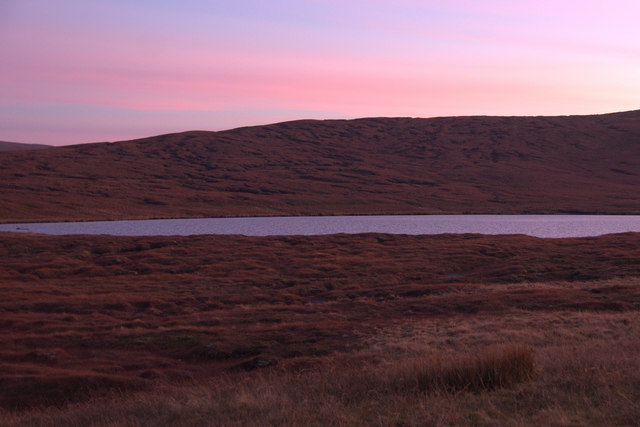
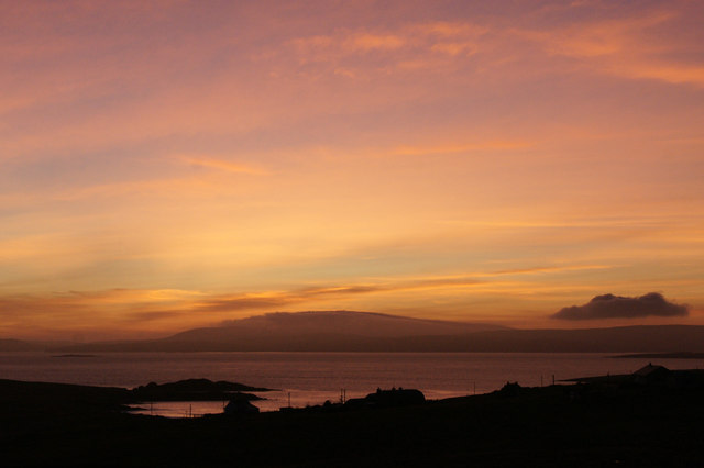
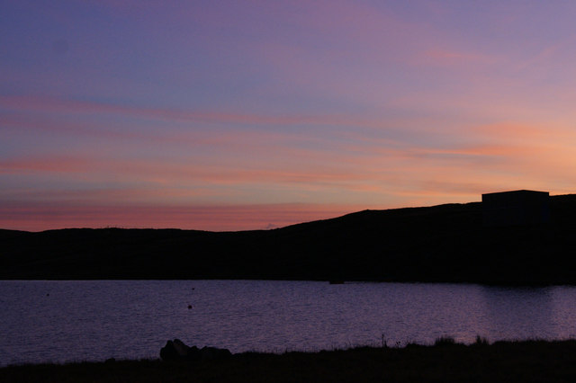
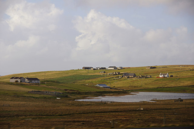
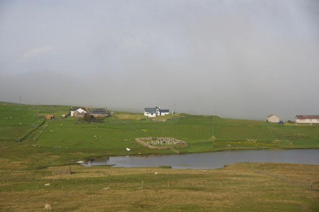
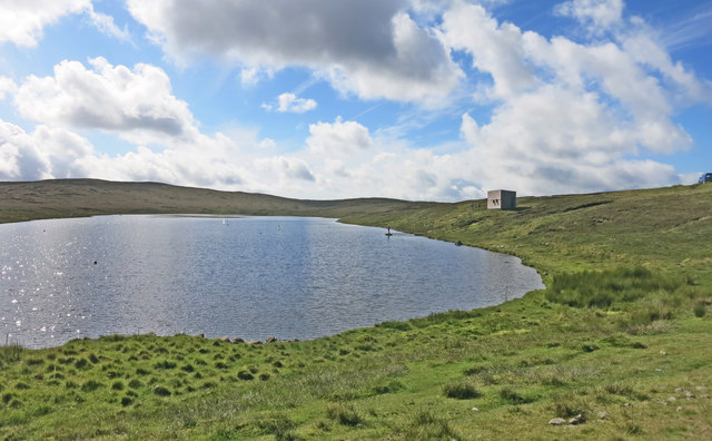
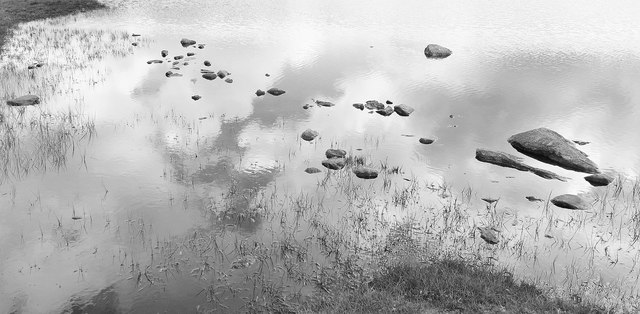
Sand Water is a picturesque freshwater loch located in the Shetland Islands, Scotland. Often referred to as a lake, pool, pond, or freshwater marsh, it is a popular destination for locals and tourists alike due to its serene beauty and diverse wildlife.

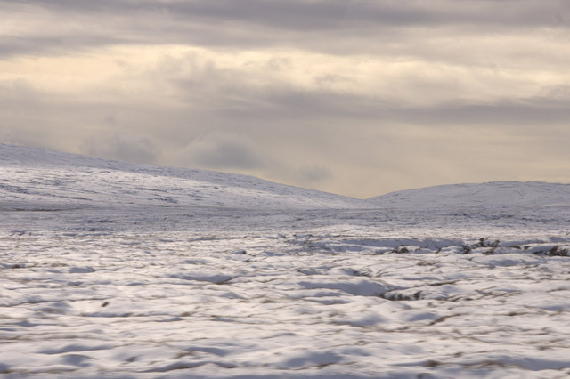
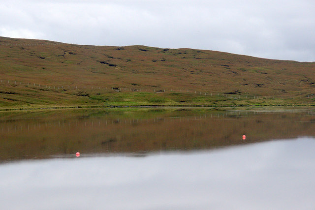
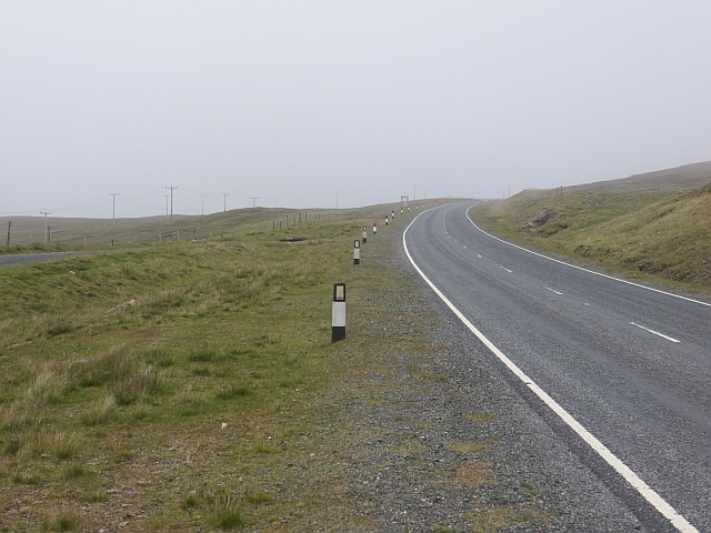
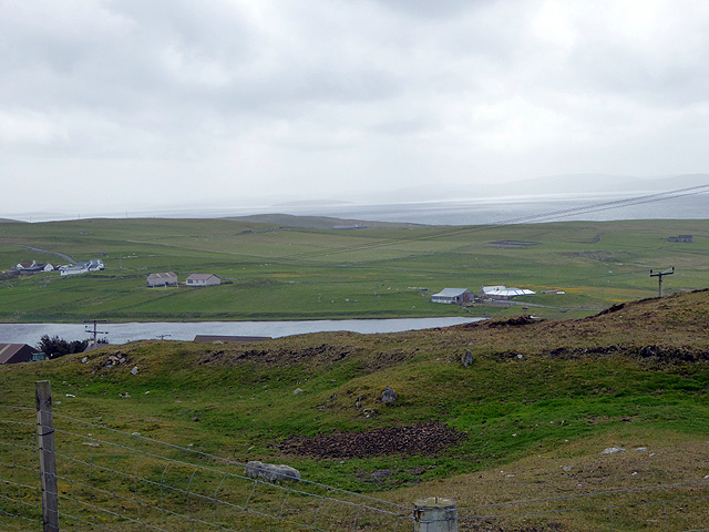
Covering an area of approximately 15 hectares, Sand Water is nestled amidst rolling green hills, offering stunning panoramic views of the surrounding landscape. It is fed by several small streams and springs, ensuring a constant flow of fresh water. The loch's depth varies, ranging from shallow areas near the edges to deeper sections in the center.

The tranquil waters of Sand Water provide an ideal habitat for a wide variety of aquatic plants and animals. The loch is home to a rich array of freshwater fish species, including brown trout and pike, making it a haven for anglers seeking a peaceful fishing experience. The surrounding marshy areas are teeming with an abundance of birdlife, such as ducks, swans, and herons, attracting birdwatchers throughout the year.

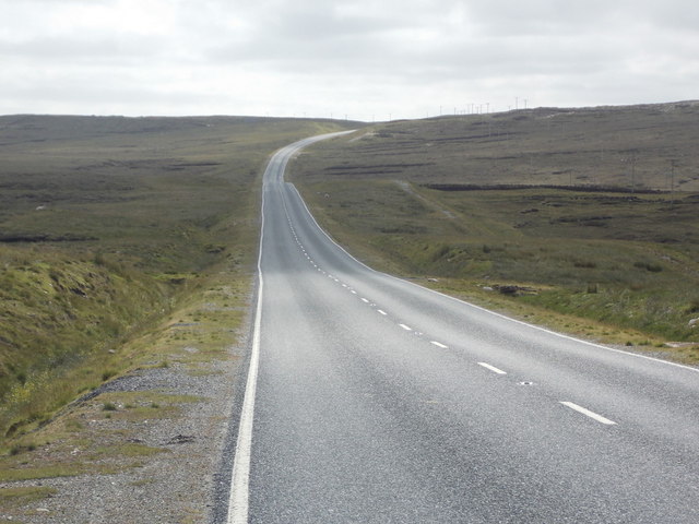
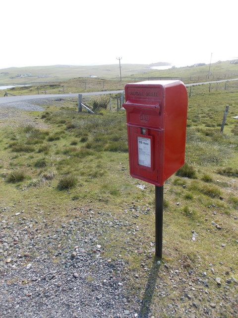
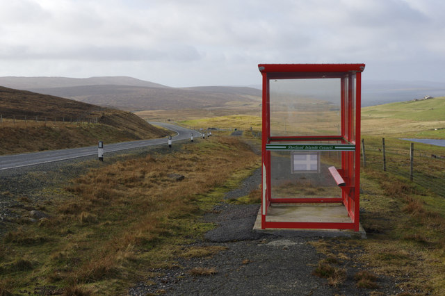
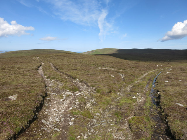
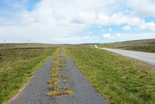
Visitors can explore Sand Water on foot by following the well-maintained walking trails that encompass the loch. The area offers opportunities for outdoor activities such as picnicking, canoeing, and wildlife photography. The calm and pristine environment make it an ideal spot for nature lovers seeking solace and relaxation.

Sand Water, with its natural beauty and diverse ecosystem, is a hidden gem in the Shetland Islands, providing a peaceful escape from the bustling world and allowing visitors to immerse themselves in the tranquility of the Scottish countryside.

If you have any feedback on the listing, please let us know in the comments section below.

Sand Water Images

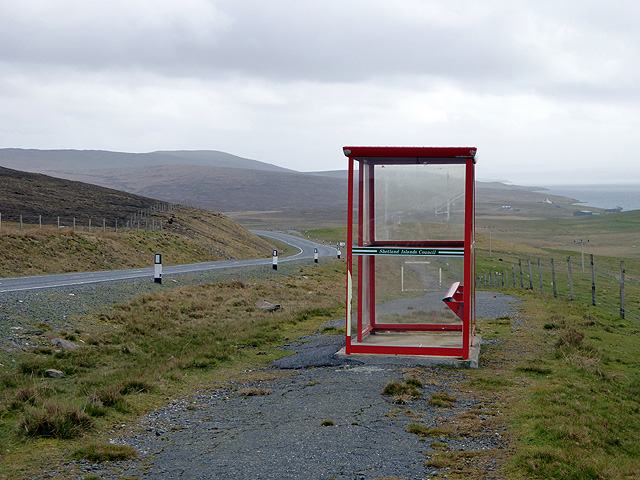
Images are sourced within 2km of 60.591101/-1.1543202 or Grid Reference HU4690. Thanks to Geograph Open Source API. All images are credited.

Sand Water, near West Sandwick, at dusk
The wild centre of Yell covered in snow
Mid Yell: the A968 heads for West Sandwick Looking along the A968, the main road across the island from Ulsta to Gutcher. It is along this stretch that the road crosses from the west side of Yell to the east.
Mid Yell: the A968 heads for West Sandwick
Looking along the A968, the main road across the island from Ulsta to Gutcher. It is along this stretch that the road crosses from the west side of Yell to the east.
Yell Sound at dusk from above West Sandwick Across the sound, after a lovely sunny day, Ronas Hill is wreathed in mist, an unusual sight in late autumn in Shetland.
Yell Sound at dusk from above West Sandwick
Across the sound, after a lovely sunny day, Ronas Hill is wreathed in mist, an unusual sight in late autumn in Shetland.
Lunga Water, near West Sandwick, at dusk
Loch of Scattlands, West Sandwick
Hjarkland: postbox № ZE2 28 This postbox stands on the main A968, on the corner of the road to West Sandwick and the hamlet to the north marked as Harkland on the 1:50,000 and 1:25,000 maps but spelt Hjarkland on larger scale maps and on local signage.
Hjarkland: postbox № ZE2 28
This postbox stands on the main A968, on the corner of the road to West Sandwick and the hamlet to the north marked as Harkland on the 1:50,000 and 1:25,000 maps but spelt Hjarkland on larger scale maps and on local signage.
Lunga Water, near West Sandwick
A968 The main road between the ferry terminals on Yell.
A968
The main road between the ferry terminals on Yell.
Bus shelter at the West Sandwick turn These simple red bus shelters, provided by the Islands Council, are ubiquitous across Shetland. This one stands on what appears to be the old road alignment by the A968 - the main route across Yell. In common with most main roads in Shetland it is well-maintained, fast and generally empty.
Bus shelter at the West Sandwick turn
These simple red bus shelters, provided by the Islands Council, are ubiquitous across Shetland. This one stands on what appears to be the old road alignment by the A968 - the main route across Yell. In common with most main roads in Shetland it is well-maintained, fast and generally empty.
West Sandwick and Loch of Scattlands A haar in Yell Sound obscured Ronas Hill and north Mainland.
West Sandwick and Loch of Scattlands
A haar in Yell Sound obscured Ronas Hill and north Mainland.
Sheepfold beside the Burn of Dalamut, near West Sandwick A sheep pund or cru in Shetland, although probably long disused.
Sheepfold beside the Burn of Dalamut, near West Sandwick
A sheep pund or cru in Shetland, although probably long disused.
Isolated bus stop near Quam At least this one has a 'bum perch'. It is often the case that regular users provide their own chairs in remote bus stops.
Isolated bus stop near Quam
At least this one has a 'bum perch'. It is often the case that regular users provide their own chairs in remote bus stops.
Lunga Water viewed from near Quam
High Road or Low Road The high road looked the better option, although it wasn't shown on the map, but it petered out after about 1/4 mile.
High Road or Low Road
The high road looked the better option, although it wasn't shown on the map, but it petered out after about 1/4 mile.
Lunga Water The same place as in <a href="https://www.geograph.org.uk/photo/579291">HU4590 : Lunga Water, Yell</a> where Mike Pennington says that the hut is used by model boat enthusiasts but he's never seen anyone here with model boats in over 20 years.
Should have been here today, Mike. If you look very closely there's a man with a model boat. (white dot, black dot mid picture)
Sorry I didn't know it was such a rare event at the time. I'd have taken a close up.
Lunga Water
The same place as in HU4590 : Lunga Water, Yell where Mike Pennington says that the hut is used by model boat enthusiasts but he's never seen anyone here with model boats in over 20 years. Should have been here today, Mike. If you look very closely there's a man with a model boat. (white dot, black dot mid picture) Sorry I didn't know it was such a rare event at the time. I'd have taken a close up.
Sky & Stones, Mill Loch
Old and New Roads This is quite a common sight. I guess it's easier to build a new road from scratch than upgrade the old one.
Old and New Roads
This is quite a common sight. I guess it's easier to build a new road from scratch than upgrade the old one.
Show me another place!

Sand Water is located at Grid Ref: HU4690 (Lat: 60.591101, Lng: -1.1543202)

Unitary Authority: Shetland Islands

Police Authority: Highlands and Islands

What 3 Words

///grief.starter.taken. Near Ulsta, Shetland Islands

Nearby Locations

Sand Water

Related Wikis

West Sandwick

West Sandwick is a settlement on the island of Yell, Shetland Islands, Scotland. It is one of the few settlements in the west of the island. West Sandwick...

Yell, Shetland

Yell (Scots: Yell) is one of the North Isles of Shetland, Scotland. In the 2011 census it had a usually resident population of 966. It is the second largest...

Mid Yell

Mid Yell is a coastal settlement on the island of Yell, the second largest of Shetland Islands, Scotland. Mid Yell, the largest settlement on the island...

Muckle Holm, Yell Sound

Muckle Holm is a small island in Shetland. It is in Yell Sound, near the Northmavine. It is 23 metres (75 ft) at its highest point. There is a lighthouse...

Nearby Amenities

Located within 500m of 60.591101,-1.1543202
Power: pole
Lat/Long: 60.5954842/-1.1523802
Power: pole
Lat/Long: 60.5951325/-1.153732
Power: pole
Lat/Long: 60.5951918/-1.1525586
Power: pole
Lat/Long: 60.5948309/-1.1538568
Power: pole
Lat/Long: 60.5945373/-1.1549458
Power: pole
Lat/Long: 60.594154/-1.1563754
Power: pole
Lat/Long: 60.5938156/-1.157628
Power: pole
Lat/Long: 60.5947559/-1.1550464
Power: pole
Lat/Long: 60.5943938/-1.1563955
Power: pole
Lat/Long: 60.5940263/-1.157742
Power: pole
Lat/Long: 60.5936845/-1.1590066
Power: pole
Lat/Long: 60.593358/-1.1601842
Power: pole
Lat/Long: 60.5935298/-1.1587116
Power: pole
Lat/Long: 60.5932085/-1.1599213
Power: pole
Lat/Long: 60.5929543/-1.1608494
Power: pole
Lat/Long: 60.5926593/-1.1619196
Power: pole
Lat/Long: 60.5923893/-1.1629308
Power: pole
Lat/Long: 60.5930504/-1.1613361
The data included in this document is from www.openstreetmap.org. The data is made available under ODbL.

Have you been to Sand Water?

Leave your review of Sand Water below (or comments, questions and feedback).