Mill Lochs

Lake, Pool, Pond, Freshwater Marsh in Shetland

Scotland

Mill Lochs

Crossing the outlet of Loch of Rusness Apart from needing to detour inland to avoid deep geos, the southwest coast of Muckle Roe offers easy walking terrain with short grass on the shallow soil formed by the disintegration of the hard granophyre into coarse sand. Paths materialise and evaporate from time to time as the terrain constrains the route, such as at the crossing point of the small stream draining Loch of Rusness. Two paths are apparent on the far side, one contouring nearer the cliffs on the right, and one diagonalling up the far side of the lochan. The latter was the one we chose, and it duly evaporated within a hundred metres.
Crossing the outlet of Loch of Rusness Credit: Andy Waddington

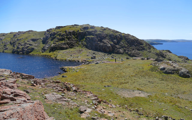
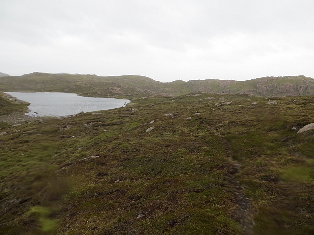
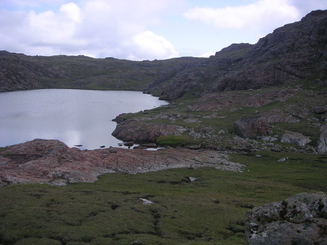
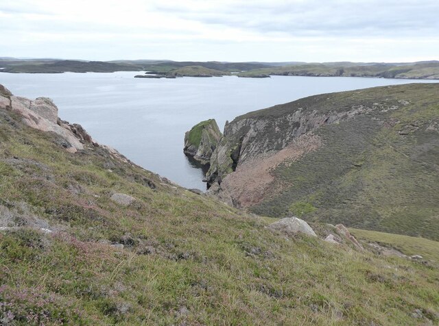
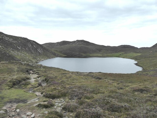
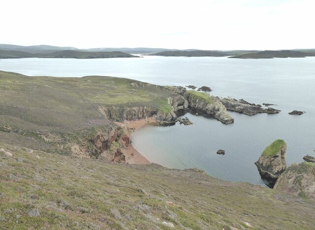
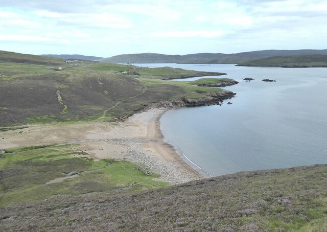
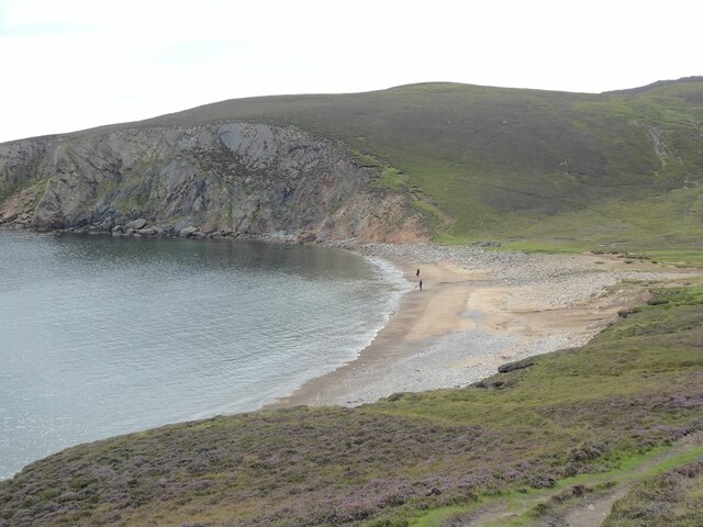
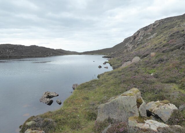
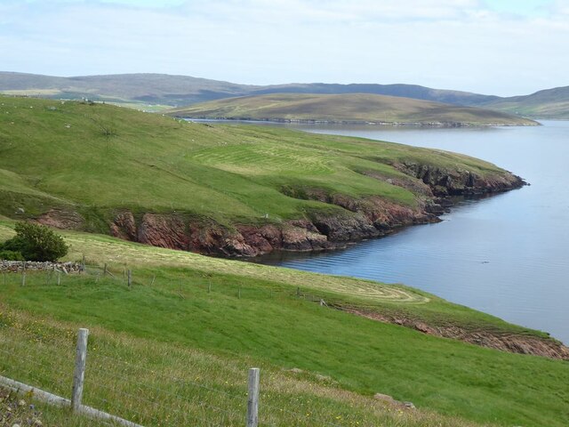
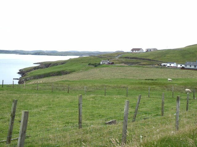
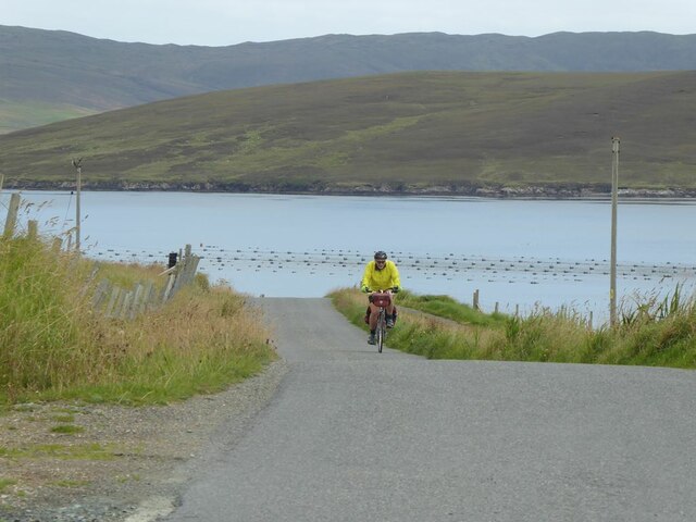
Located in the Shetland Islands, Mill Lochs is a cluster of freshwater bodies comprising several interconnected lakes, pools, ponds, and freshwater marshes. Situated in the central part of the archipelago, Mill Lochs covers an extensive area and is a prominent natural feature within the region.

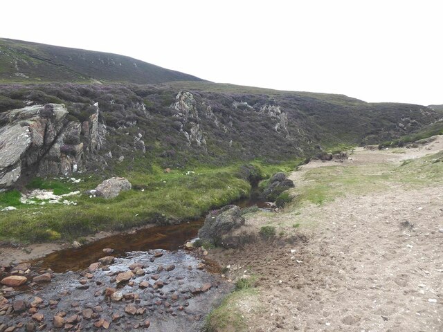
The lochs are primarily freshwater, fed by rainfall and natural springs, resulting in clear, pristine waters. The interconnected nature of the lochs allows for water exchange and provides a diverse habitat for various species of flora and fauna. The surrounding landscape is characterized by rolling hills, rocky outcrops, and extensive vegetation, providing a picturesque setting.

The diverse aquatic ecosystem of Mill Lochs supports a wide range of plant and animal life. The vegetation consists of submerged and floating species, such as water lilies, reeds, and rushes, which provide important habitats for many aquatic organisms. The lochs are home to numerous fish species, including trout and salmon, which attract anglers from near and far.

The freshwater marshes surrounding the lochs are a haven for numerous bird species, making them a popular spot for birdwatching enthusiasts. Visitors can observe a variety of waterfowl, wading birds, and raptors, including herons, swans, ducks, and ospreys.

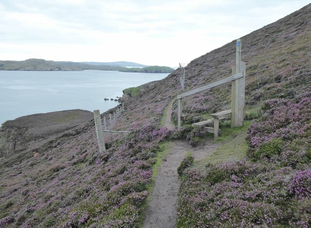
Mill Lochs offers opportunities for recreational activities, such as boating, kayaking, and fishing. The tranquil setting and abundance of wildlife make it a popular destination for nature lovers and outdoor enthusiasts alike. Additionally, the lochs serve as an important water source for the local communities, providing drinking water and supporting agricultural activities.

Overall, Mill Lochs is a remarkable natural feature in the Shetland Islands, offering a diverse and thriving ecosystem, recreational opportunities, and a place of beauty and tranquility for both locals and visitors to enjoy.

If you have any feedback on the listing, please let us know in the comments section below.
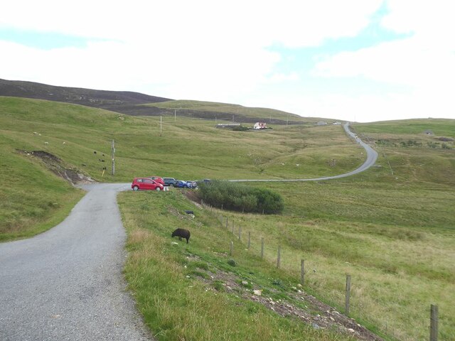
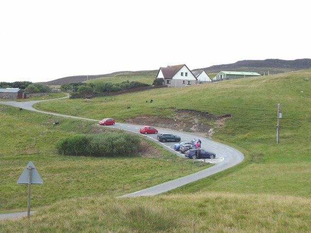
Mill Lochs Images

Images are sourced within 2km of 60.35478/-1.4237523 or Grid Reference HU3163. Thanks to Geograph Open Source API. All images are credited.

Crossing the outlet of Loch of Rusness Apart from needing to detour inland to avoid deep geos, the southwest coast of Muckle Roe offers easy walking terrain with short grass on the shallow soil formed by the disintegration of the hard granophyre into coarse sand. Paths materialise and evaporate from time to time as the terrain constrains the route, such as at the crossing point of the small stream draining Loch of Rusness. Two paths are apparent on the far side, one contouring nearer the cliffs on the right, and one diagonalling up the far side of the lochan. The latter was the one we chose, and it duly evaporated within a hundred metres.
Crossing the outlet of Loch of Rusness
Apart from needing to detour inland to avoid deep geos, the southwest coast of Muckle Roe offers easy walking terrain with short grass on the shallow soil formed by the disintegration of the hard granophyre into coarse sand. Paths materialise and evaporate from time to time as the terrain constrains the route, such as at the crossing point of the small stream draining Loch of Rusness. Two paths are apparent on the far side, one contouring nearer the cliffs on the right, and one diagonalling up the far side of the lochan. The latter was the one we chose, and it duly evaporated within a hundred metres.
Moorland by Loch of Rusness A fine and bright morning had rapidly turned to heavy rain in the afternoon. The usual crisp and gravelly Muckle Roe moorland.
Moorland by Loch of Rusness
A fine and bright morning had rapidly turned to heavy rain in the afternoon. The usual crisp and gravelly Muckle Roe moorland.
Rusness West Loch Mouth of the outflow burn from Rusness West Loch, Muckle Roe.
Rusness West Loch
Mouth of the outflow burn from Rusness West Loch, Muckle Roe.
Headland to the west of Gilsa Ayre
Gilsa Water
Gilsa Water
Two secret beaches at Bungil Accessible only by boat. At the mouth of the bay are the Burki Skerries.
Two secret beaches at Bungil
Accessible only by boat. At the mouth of the bay are the Burki Skerries.
On the path to the Muckle Roe light Beyond the stile, a railing has been installed to protect walkers traversing the extremely steep slope above Bungil.
On the path to the Muckle Roe light
Beyond the stile, a railing has been installed to protect walkers traversing the extremely steep slope above Bungil.
Sheepfold on Burki Hill
Muckle Ayre Beach on the south coast of Muckle Roe.
Muckle Ayre
Beach on the south coast of Muckle Roe.
Mill Burn Where the Mill Burn emerges onto the beach of Muckle Ayre.
Mill Burn
Where the Mill Burn emerges onto the beach of Muckle Ayre.
Muckle Ayre Beach on the south coast of Muckle Roe.
Muckle Ayre
Beach on the south coast of Muckle Roe.
Loch of Brunthill
Loch of Brunthill
End of the road at Little-Ayre The car park at the end of the road which runs along the south side of Muckle Roe caters for many walkers and cyclists, mostly taking the rough road over to South Ham at the north-west corner of the island.
End of the road at Little-Ayre
The car park at the end of the road which runs along the south side of Muckle Roe caters for many walkers and cyclists, mostly taking the rough road over to South Ham at the north-west corner of the island.
Access road to Burki Waters
View across Boat Geo The island of Linga <a href="https://www.geograph.org.uk/gridref/HU3563">HU3563</a> in the middle distance.
View across Boat Geo
The island of Linga HU3563 in the middle distance.
Littleburn Scattering of houses on the south shore of Muckle Roe.
Littleburn
Scattering of houses on the south shore of Muckle Roe.
Hill climb at Knowe Mussel farm in the sea. The island of Linga <a href="https://www.geograph.org.uk/gridref/HU3563">HU3563</a> beyond.
Hill climb at Knowe
Mussel farm in the sea. The island of Linga HU3563 beyond.
Show me another place!

Mill Lochs is located at Grid Ref: HU3163 (Lat: 60.35478, Lng: -1.4237523)

Unitary Authority: Shetland Islands

Police Authority: Highlands and Islands

What 3 Words

///simply.brisk.searched. Near Brae, Shetland Islands

Related Wikis

Muckle Roe

Muckle Roe is an island in Shetland, Scotland, in St. Magnus Bay, to the west of Mainland. It has a population of around 130 people, who mainly croft and...

Papa Little

Papa Little (Scots: Papa Little; Old Norse: Papey Litla, meaning "the little island of the priests") is an island in St Magnus Bay, Shetland, Scotland...

Linga (near Vementry)

Linga is one of the Shetland Islands, near Vementry. It is one of many islands in Shetland called Linga. The island is uninhabited. == Geography and... ==

Vementry

Vementry (Old Norse: "Vemunðarey") is an uninhabited Scottish island in Shetland on the north side of the West Mainland, lying south of Muckle Roe. �...

Linga, Busta Voe

Linga is a small, uninhabited island, 1 km (0.62 mi) east of Muckle Roe in the Shetland Islands. The island is roughly circular in shape and its highest...

Busta Voe

Busta Voe, (HU665350), in the north central Mainland, Shetland, is a sea inlet lying between the village of Brae and the island of Muckle Roe. At the head...

Mavis Grind

Mavis Grind (Old Norse: Mæfeiðs grind or Mæveiðs grind, meaning "gate of the narrow isthmus") is a narrow isthmus joining the Northmavine peninsula to...

Shetland

Shetland, also called the Shetland Islands and formerly Zetland, is an archipelago in Scotland lying between Orkney, the Faroe Islands, and Norway. It...

Have you been to Mill Lochs?

Leave your review of Mill Lochs below (or comments, questions and feedback).