Rubha Àird Druimnich
Coastal Feature, Headland, Point in Argyllshire
Scotland
Rubha Àird Druimnich
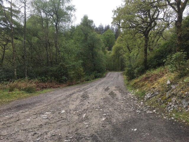
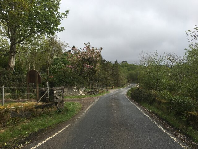
Rubha Àird Druimnich is a prominent headland located in Argyllshire, Scotland. Situated on the western coast of the country, it juts out into the Atlantic Ocean, offering breathtaking views of the surrounding landscape. The headland is characterized by its steep cliffs, which rise dramatically from the crashing waves below.
The name Rubha Àird Druimnich translates to "point of the ridge of the drumming" in English, likely referring to the rhythmic sound of the waves hitting the cliffs. The area is rich in natural beauty, with rugged terrain and an abundance of wildlife. It is a popular spot for birdwatching enthusiasts, as various species of seabirds can be observed nesting and fishing along the headland.
The headland is also home to a lighthouse, which serves as a navigational aid for ships navigating the treacherous waters off the coast. The lighthouse, with its distinctive white and red stripes, stands tall and provides a striking contrast against the rugged backdrop of the cliffs.
Visitors to Rubha Àird Druimnich can enjoy hiking along the coastal path that meanders around the headland, taking in the panoramic views and immersing themselves in the tranquility of the surroundings. The area is also a popular spot for photographers, who are drawn to the dramatic cliffs, crashing waves, and stunning sunsets that can be witnessed from this vantage point.
Overall, Rubha Àird Druimnich is a captivating coastal feature, offering a glimpse into the natural beauty and rugged charm of the Argyllshire coastline.
If you have any feedback on the listing, please let us know in the comments section below.
Rubha Àird Druimnich Images
Images are sourced within 2km of 56.676054/-5.9261419 or Grid Reference NM5960. Thanks to Geograph Open Source API. All images are credited.
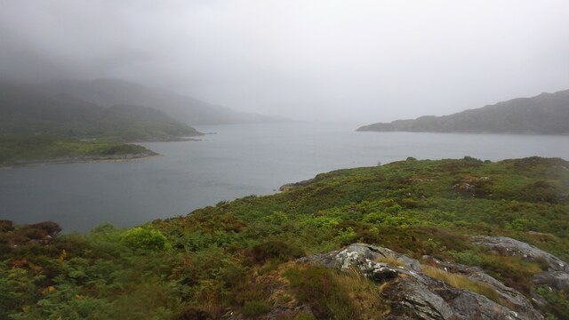
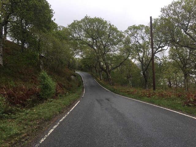


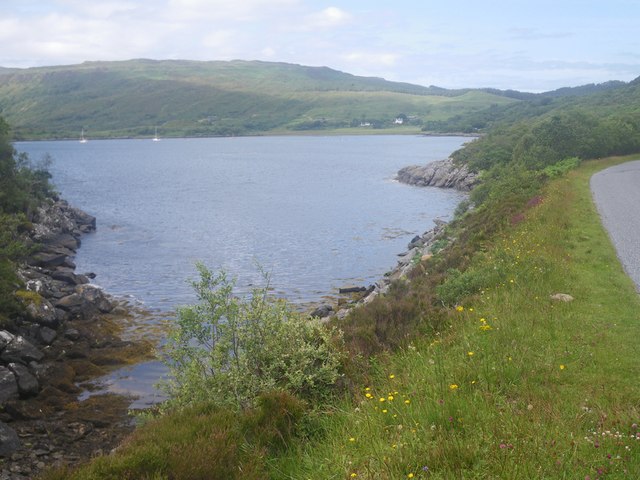
![Loch Sunart Off the B8006 near Glenbeg (on the road to the Kilchoan Ferry). I
believe the low-lying island of Oronsay is in the middle ground with the
western part of Morvern and Beinn Bhuide behind.
[Thanks to Penny Mayes for assistance in locating this image]](https://s3.geograph.org.uk/geophotos/02/49/30/2493051_8020412c.jpg)
Rubha Àird Druimnich is located at Grid Ref: NM5960 (Lat: 56.676054, Lng: -5.9261419)
Unitary Authority: Highland
Police Authority: Highlands and Islands
What 3 Words
///hiked.soulful.translated. Near Drimnin, Highland
Nearby Locations
Related Wikis

Eilean Mòr, Loch Sunart
Eilean Mòr is an uninhabited, tidal island opposite Oronsay at the entrance to Loch Sunart, an arm of the sea on the west coast of Scotland. At low tide...

Glenmore Bay
Glenmore Bay is a remote, tidal, 150° orientated, coastal embayment, located on the southern coastline of the west to east orientated Ardnamurchan peninsula...

Glenborrodale Bay
Glenborrodale Bay is a remote tidal, 200° orientated, coastal embayment, located on the southern coastline of the west to east orientated Ardnamurchan...

Oronsay, Loch Sunart
Oronsay is an uninhabited island in Loch Sunart, Scotland. It is low-lying, barren and rocky, deeply indented with sea lochs.The island encloses Loch Drumbuie...
Nearby Amenities
Located within 500m of 56.676054,-5.9261419Have you been to Rubha Àird Druimnich?
Leave your review of Rubha Àird Druimnich below (or comments, questions and feedback).