Long Plantation
Wood, Forest in Lincolnshire East Lindsey
England
Long Plantation
Long Plantation is a picturesque woodland located in Lincolnshire, England. Situated near the small village of Wood, the plantation covers a vast area of approximately 500 acres. Its strategic location on the edge of the Forest of Lincoln makes it an ideal destination for nature enthusiasts and outdoor enthusiasts alike.
The plantation boasts a diverse range of tree species, including oak, birch, and beech, which provide a rich habitat for a variety of wildlife. Visitors can explore the woodland through a network of well-maintained walking trails, allowing them to immerse themselves in the tranquility of nature.
Long Plantation is renowned for its stunning natural beauty, with the changing seasons bringing a kaleidoscope of colors to the landscape. In spring, the woodland floor is adorned with vibrant bluebells and daffodils, creating a breathtaking sight. During the summer months, the lush green canopy provides welcome shade from the sun, while autumn brings a riot of red, orange, and gold as the leaves change.
The plantation is home to an array of wildlife, including deer, foxes, and a variety of bird species. Birdwatchers can spot woodpeckers, owls, and various songbirds, making it a haven for ornithologists and bird enthusiasts. Additionally, the woodland is home to a diverse range of plant life, including rare orchids and ferns, adding to its ecological significance.
Long Plantation offers a peaceful retreat from the hustle and bustle of everyday life, providing visitors with an opportunity to reconnect with nature. Its stunning scenery, abundant wildlife, and well-maintained trails make it a must-visit destination for nature lovers and those seeking a tranquil escape in Lincolnshire.
If you have any feedback on the listing, please let us know in the comments section below.
Long Plantation Images
Images are sourced within 2km of 53.154093/0.23837685 or Grid Reference TF4964. Thanks to Geograph Open Source API. All images are credited.
Long Plantation is located at Grid Ref: TF4964 (Lat: 53.154093, Lng: 0.23837685)
Administrative County: Lincolnshire
District: East Lindsey
Police Authority: Lincolnshire
What 3 Words
///cleanest.sulk.positives. Near Burgh le Marsh, Lincolnshire
Nearby Locations
Related Wikis

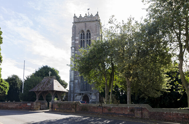
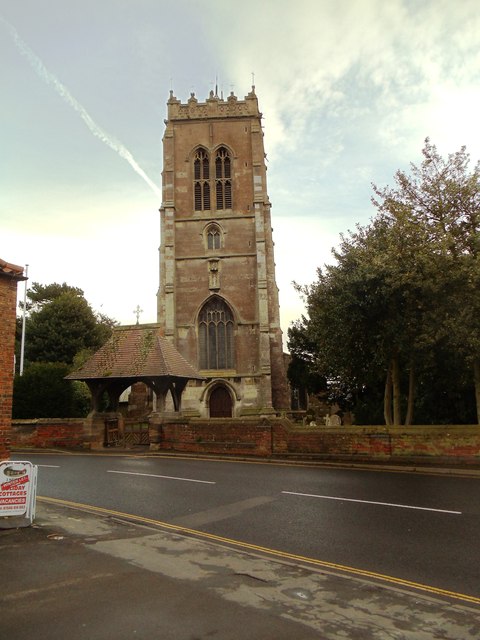
Burgh le Marsh
Burgh le Marsh is a town and civil parish in the East Lindsey district of Lincolnshire, England. == Geography == The town is built on a low hill surrounded...

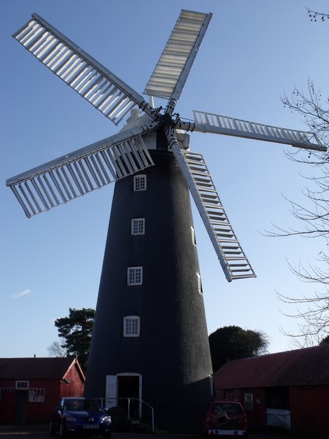
Dobson's Mill
Dobson's Mill was a working tower windmill for grinding wheat and corn. It stands in the High Street in the town of Burgh le Marsh, near Skegness in Lincolnshire...

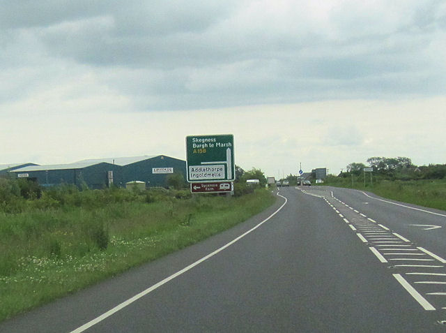
Burgh Bypass
Burgh Bypass is a bypass of the town of Burgh Le Marsh near Skegness. It was passed in 2005 and construction began in September 2006 after a lengthy campaign...

Bratoft
Bratoft is a small hamlet in the East Lindsey district of Lincolnshire, England. It is situated approximately 5 miles (8 km) east from Spilsby, 2 miles...

Croft, Lincolnshire
Croft is a small village and civil parish in the East Lindsey district of Lincolnshire, England. The village is situated approximately 2 miles (3 km) north...

Irby in the Marsh
Irby in the Marsh is a village and civil parish in the East Lindsey district of Lincolnshire, England. It is situated on the B1195 road, geographically...

Burgh-le-Marsh railway station
Burgh-le-Marsh was a railway station on the East Lincolnshire Railway which served the town of Burgh le Marsh in Lincolnshire between 1848 and 1970. It...

Orby
Orby is a village and civil parish in the East Lindsey district of Lincolnshire, England. It is situated approximately 9 miles (14 km) east from the town...
Nearby Amenities
Located within 500m of 53.154093,0.23837685Have you been to Long Plantation?
Leave your review of Long Plantation below (or comments, questions and feedback).