Broom's Plantation

Wood, Forest in Essex Uttlesford

England

Broom's Plantation

Lee and Stort Navigation: Lock no 3 - Spellbrook Lock A lock situated in what appears to be a remote stretch of the route, though a look at the map reveals that the hamlet of Spellbrook is just the other side of the railway line to the west while the landmark of Wallbury (an iron-age behemoth) is alongside to the east, though it is not seen from the canal.
Lee and Stort Navigation: Lock no 3 - Spellbrook Lock Credit: Peter S

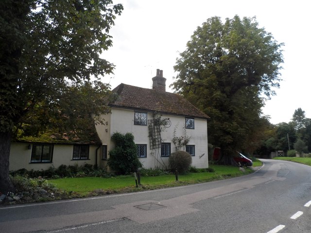
Broom's Plantation is a picturesque woodland located in Essex, England. Situated within the larger area of Wood and Forest, this plantation covers a vast expanse of approximately 200 acres. The plantation is renowned for its rich biodiversity and natural beauty, attracting nature enthusiasts and visitors seeking tranquility.

The woodland is characterized by a mix of both deciduous and evergreen trees, creating a diverse and vibrant ecosystem. Oak, beech, and birch trees dominate the landscape, providing a stunning canopy that changes with the seasons. The forest floor is covered in a thick carpet of moss, ferns, and wildflowers, creating a beautiful tapestry of colors.

Broom's Plantation is home to a wide variety of wildlife. Visitors may spot deer, foxes, and rabbits roaming freely among the trees, while a plethora of bird species, including woodpeckers and buzzards, can be observed in the sky. The woodland is also known for its abundance of insects, making it an ideal habitat for butterflies and dragonflies.

Walking trails wind their way through the plantation, allowing visitors to explore the natural wonders at their own pace. These well-maintained paths provide stunning views of the surrounding countryside and lead to hidden gems, such as a serene pond and a charming babbling brook.

Broom's Plantation is a true haven for nature lovers, offering a peaceful retreat from the hustle and bustle of everyday life. It is a place where one can immerse themselves in the beauty of nature and experience the tranquility of the woodland.

If you have any feedback on the listing, please let us know in the comments section below.

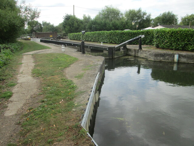
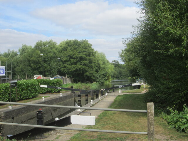
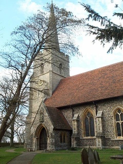
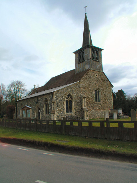
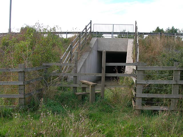
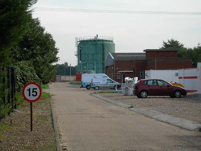
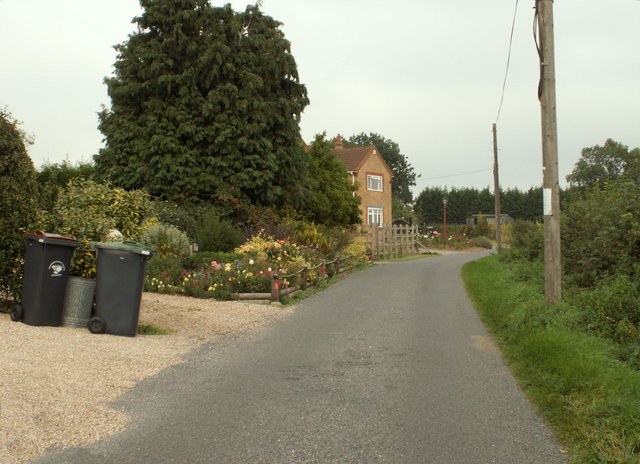
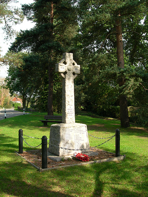
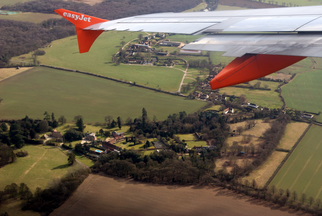
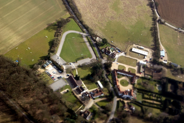
Broom's Plantation Images

Images are sourced within 2km of 51.852321/0.17216175 or Grid Reference TL4919. Thanks to Geograph Open Source API. All images are credited.

Lee and Stort Navigation: Lock no 3 - Spellbrook Lock A lock situated in what appears to be a remote stretch of the route, though a look at the map reveals that the hamlet of Spellbrook is just the other side of the railway line to the west while the landmark of Wallbury (an iron-age behemoth) is alongside to the east, though it is not seen from the canal.
Lee and Stort Navigation: Lock no 3 - Spellbrook Lock
A lock situated in what appears to be a remote stretch of the route, though a look at the map reveals that the hamlet of Spellbrook is just the other side of the railway line to the west while the landmark of Wallbury (an iron-age behemoth) is alongside to the east, though it is not seen from the canal.
Lee and Stort Navigation: Lock no 3 - Spellbrook Lock - view north
Bishop's Stortford from the air Most of the town can be seen in this view from a Birmingham bound flight from Prague.
Bishop's Stortford from the air
Most of the town can be seen in this view from a Birmingham bound flight from Prague.
Bishop's Stortford from the air Looking over Thorley Street to the town from a Birmingham bound flight from Prague.
Bishop's Stortford from the air
Looking over Thorley Street to the town from a Birmingham bound flight from Prague.
St. Giles, Great Hallingbury
St. Mary's Church, Little Hallingbury
Stile and tunnel under M11 The public footpath to Great Hallingbury crosses the M11 by means of this tunnel
Stile and tunnel under M11
The public footpath to Great Hallingbury crosses the M11 by means of this tunnel
Bishop's Stortford sewage works The entrance to the Thames Water sewage works is located in Jenkins Lane just off the A1060
Bishop's Stortford sewage works
The entrance to the Thames Water sewage works is located in Jenkins Lane just off the A1060
New Barn Lane, Little Hallingbury, Essex This is by Normandale Kennels.
New Barn Lane, Little Hallingbury, Essex
This is by Normandale Kennels.
War Memorial The memorial in the grounds of St Mary's Church, Little Hallingbury commemorates the fallen of World War I.
War Memorial
The memorial in the grounds of St Mary's Church, Little Hallingbury commemorates the fallen of World War I.
Morleys and Woodside Green from the air To the south of Great Hallingbury. Occasionally under the Stansted flightpath.
Morleys and Woodside Green from the air
To the south of Great Hallingbury. Occasionally under the Stansted flightpath.
Howe Green House from the air A private school near Great Hallingbury.

Click on this <span class="nowrap"><a title="http://www.howegreenhouse.essex.sch.uk/" rel="nofollow ugc noopener" href="http://www.howegreenhouse.essex.sch.uk/">Link</a><img style="margin-left:2px;" alt="External link" title="External link - shift click to open in new window" src="https://s1.geograph.org.uk/img/external.png" width="10" height="10"/></span> to go to their website.
Howe Green House from the air
A private school near Great Hallingbury. Click on this LinkExternal link to go to their website.
Footbridge over the M11
Church Rd bridge over the M11
New Barn Lane Bridge
Footbridge over the M11
Centuries, Great Hallingbury The date stone on the first floor says 1693. See <span class="nowrap"><a title="http://www.britishlistedbuildings.co.uk/en-120462-centuries-great-hallingbury-essex#.VewxKhFViko" rel="nofollow ugc noopener" href="http://www.britishlistedbuildings.co.uk/en-120462-centuries-great-hallingbury-essex#.VewxKhFViko">Link</a><img style="margin-left:2px;" alt="External link" title="External link - shift click to open in new window" src="https://s1.geograph.org.uk/img/external.png" width="10" height="10"/></span> for entry in British Listed Buildings.
Centuries, Great Hallingbury
The date stone on the first floor says 1693. See LinkExternal link for entry in British Listed Buildings.
Tudor Cottage, Great Hallingbury Built in the mid C15. See <span class="nowrap"><a title="http://www.britishlistedbuildings.co.uk/en-120461-tudor-cottage-great-hallingbury-essex#.VewxNhFViko" rel="nofollow ugc noopener" href="http://www.britishlistedbuildings.co.uk/en-120461-tudor-cottage-great-hallingbury-essex#.VewxNhFViko">Link</a><img style="margin-left:2px;" alt="External link" title="External link - shift click to open in new window" src="https://s1.geograph.org.uk/img/external.png" width="10" height="10"/></span> for entry in British Listed Buildings.
Tudor Cottage, Great Hallingbury
Built in the mid C15. See LinkExternal link for entry in British Listed Buildings.
Show me another place!

Broom's Plantation is located at Grid Ref: TL4919 (Lat: 51.852321, Lng: 0.17216175)

Administrative County: Essex

District: Uttlesford

Police Authority: Essex

What 3 Words

///spends.kinds.lame. Near Bishops Stortford, Hertfordshire

Nearby Locations

Broom's Plantation

Related Wikis

Rushy Mead

Rushy Mead is a 4.6-hectare (11-acre) nature reserve on the bank of the River Stort in Essex, between Sawbridgeworth and Bishop's Stortford. Until the...

The Bishop's Stortford High School

The Bishop's Stortford High School (often abbreviated to TBSHS) is a comprehensive secondary school, with a coeducational sixth form, in Bishop's Stortford...

Thorley Wash nature reserve

Thorley Wash or Thorley Flood Pound is a 17.3-hectare biological Site of Special Scientific Interest in Thorley, south of Bishop's Stortford in Hertfordshire...

South Mill Arts

South Mill Arts is a venue for theatre, contemporary arts and culture, local history, and conferences in Bishop's Stortford, Hertfordshire, England. One...

Herts and Essex Hospital

The Herts and Essex Hospital, more formally known as The Herts and Essex Community Hospital, is a community hospital in Bishop's Stortford, Hertfordshire...

Thorley, Hertfordshire

Thorley is a village and civil parish in Bishops Stortford, East Hertfordshire district of Hertfordshire, England. The parish includes the hamlets of Thorley...

Bishop's Stortford railway station

Bishop's Stortford railway station is on the West Anglia Main Line serving the town of Bishop's Stortford in Hertfordshire, England. It is 30 miles 27...

The Hertfordshire and Essex High School

The Hertfordshire and Essex High School and since 2004 named as The Hertfordshire & Essex High School and Science College, commonly referred to as Herts...

Related Videos

Bishop's Stortford in England 🏴󠁧󠁢󠁥󠁮󠁧󠁿 - 4K walking Tour 2023

Bishop's Stortford is a historic market town in the London Commuter Belt. Based on the border of Hertfordshire and Essex, just ...

Bishop's Stortford - Hertfordshire

Hertfordshire Playlist: https://www.youtube.com/playlist?list=PL3rSdzPpvGrtYAjr89xCdEXdznOyXG-hv Map Location: ...

15. Dealing With Idiots, And The Other Side Of Narrowboating In The Winter!

15. Dealing With Idiots, And The Other Side Of Narrowboating In The Winter! I Show The Not So Glamourous Side Of Narrowboat ...

Nearby Amenities

Located within 500m of 51.852321,0.17216175
Seamark Type: gate
Waterway: lock_gate
Lat/Long: 51.8519334/0.1675239
Source: yahoo
Lat/Long: 51.8499996/0.1732444
Seamark Type: gate
Waterway: lock_gate
Lat/Long: 51.8519941/0.1679348
Post Box
Collection Times: Mo-Fr 09:00; Sa 07:00
Ref: CM22 93D
Royal Cypher: EIIR
Royal Cypher Wikidata: Q33102113
Lat/Long: 51.8529463/0.1669102
Waterway: weir
Lat/Long: 51.8520918/0.1674611
Barrier: kissing_gate
Lat/Long: 51.8513872/0.1674827
Waterway: weir
Lat/Long: 51.8523164/0.1712785
Twyford
Place: hamlet
Source: https://www.stortfordhistory.co.uk/thorley/twyford/
Lat/Long: 51.8522674/0.1675839
Barrier: kissing_gate
Lat/Long: 51.8553888/0.173608
Traffic Mirror
Direction: 50
Lat/Long: 51.8515085/0.1674905
Power: substation
Lat/Long: 51.8494508/0.1732871
Colour: red and white
Marker: aerial
Material: plastic
Utility: gas
Lat/Long: 51.8496062/0.1730313
Colour: yellow
Inscription: GAS LTS
Marker: post
Material: plastic
Utility: gas
Lat/Long: 51.8495664/0.1732325
The data included in this document is from www.openstreetmap.org. The data is made available under ODbL.

Have you been to Broom's Plantation?

Leave your review of Broom's Plantation below (or comments, questions and feedback).