Cow Field

Wood, Forest in Sussex Wealden

England

Cow Field

A26 - beware elderly people There must be a home somewhere around here, but it was not obvious.
A26 - beware elderly people Credit: Robin Webster

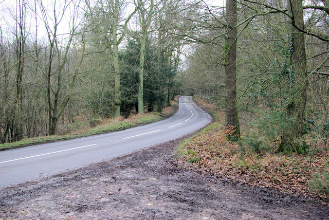
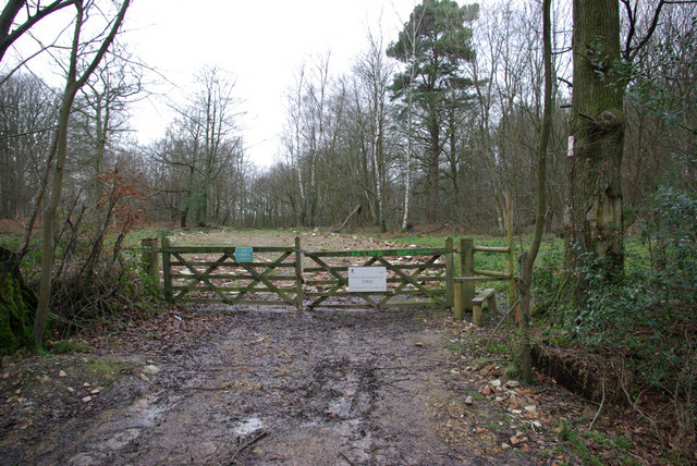
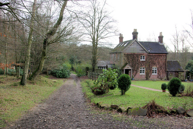
Cow Field is a picturesque woodland area located in Sussex, England. Situated within the larger Sussex Wood, this forested landscape offers a serene and tranquil setting for visitors to enjoy the natural beauty of the region.

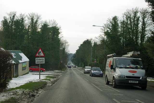
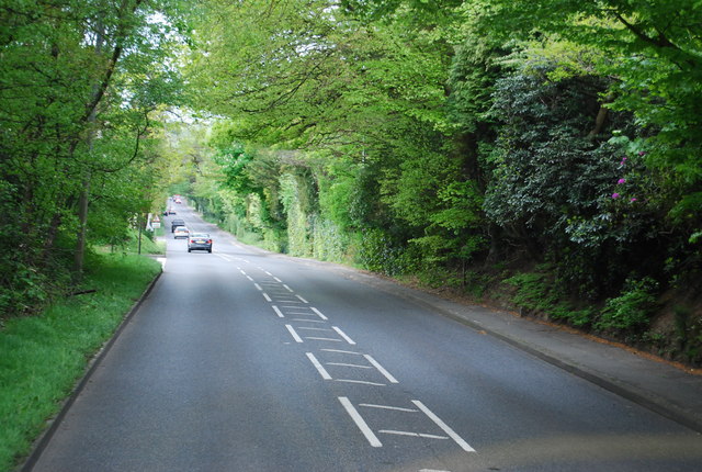
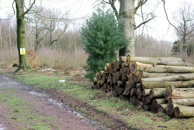
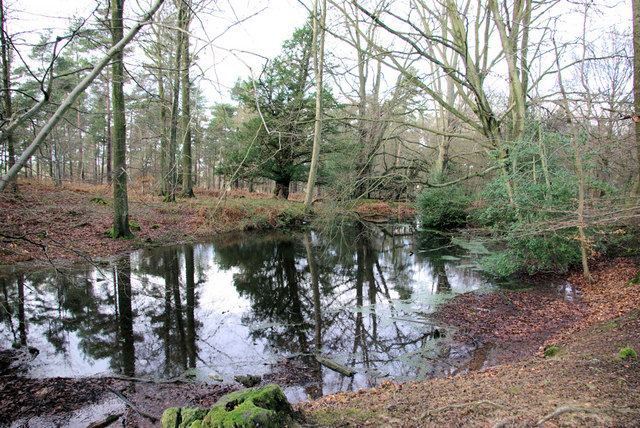
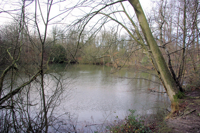
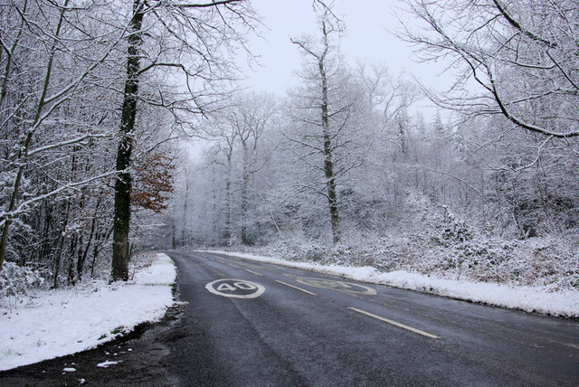
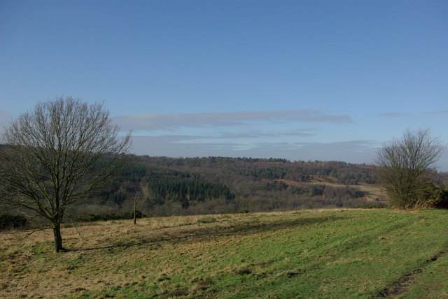
Covering an expansive area of several hectares, Cow Field is characterized by its dense collection of mature trees, including oak, beech, and birch. These towering trees provide a lush canopy that filters sunlight and creates a cool and shady atmosphere throughout the woodland. The forest floor is carpeted with a variety of wildflowers, ferns, and mosses, adding to the enchanting ambiance.

As the name suggests, Cow Field is home to a small population of grazing cows. These gentle creatures, often seen leisurely wandering through the forest, add a pastoral charm to the landscape. The cows also play a vital role in maintaining the natural balance of the ecosystem by grazing on the undergrowth and promoting biodiversity.

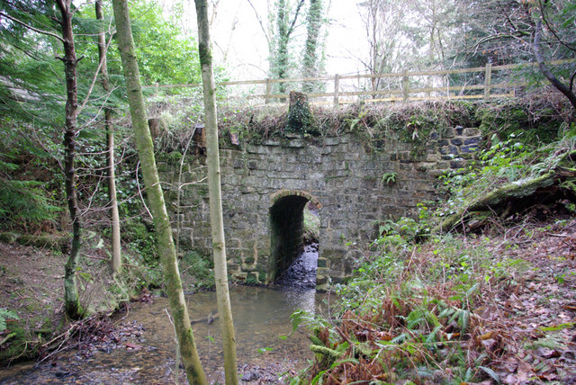
Visitors to Cow Field can enjoy a multitude of activities within its boundaries. There are numerous walking trails that meander through the forest, allowing visitors to immerse themselves in the tranquility of nature. The forest is also a haven for birdwatchers, with a diverse range of bird species inhabiting the area, including woodpeckers, owls, and various songbirds.

Overall, Cow Field is a haven for nature enthusiasts seeking a peaceful retreat in the heart of Sussex. Its verdant woodland, grazing cows, and diverse flora and fauna make it a truly idyllic destination for those looking to reconnect with nature.

If you have any feedback on the listing, please let us know in the comments section below.

Cow Field Images

Images are sourced within 2km of 51.063297/0.13448964 or Grid Reference TQ4931. Thanks to Geograph Open Source API. All images are credited.

A26 - beware elderly people There must be a home somewhere around here, but it was not obvious.
A26 - beware elderly people
There must be a home somewhere around here, but it was not obvious.
New house, Fielden Road
South View Rd off the A26
A26, Beacon Rd The A26 is a 50 mile route from Maidstone to Newhaven via Tunbridge Wells. <span class="nowrap"><a title="http://www.sabre-roads.org.uk/wiki/index.php?title=A26" rel="nofollow ugc noopener" href="http://www.sabre-roads.org.uk/wiki/index.php?title=A26">Link</a><img style="margin-left:2px;" alt="External link" title="External link - shift click to open in new window" src="https://s1.geograph.org.uk/img/external.png" width="10" height="10"/></span>
A26, Beacon Rd
The A26 is a 50 mile route from Maidstone to Newhaven via Tunbridge Wells. LinkExternal link
Crowborough Beacon Golf Club
The Half Moon Inn An attractive building at Friar's Gate on the B2188 near Crowborough.
The Half Moon Inn
An attractive building at Friar's Gate on the B2188 near Crowborough.
Fagot Stack Corner on B2188 Fagots are rarely seen here now, but stacks occur in 500 Acre Wood behind the photographer.
Fagot Stack Corner on B2188
Fagots are rarely seen here now, but stacks occur in 500 Acre Wood behind the photographer.
Gateway to 500 Acre Wood The stile is for permitted access to this wood. The public footpath through the woods starts some yards to the right. Timber was shipped out through here recently, hence the hard standing laid down and still looking rather raw.
Gateway to 500 Acre Wood
The stile is for permitted access to this wood. The public footpath through the woods starts some yards to the right. Timber was shipped out through here recently, hence the hard standing laid down and still looking rather raw.
Forestry - 500 Acre Wood Beside the public footpath through the wood.
Forestry - 500 Acre Wood
Beside the public footpath through the wood.
Pond, 500 Acre Wood Possibly resulting from ironstone digging.
Pond, 500 Acre Wood
Possibly resulting from ironstone digging.
Large Pond, 500 Acre Wood The largest of the ponds in 500 Acre Wood, probably originally dug for ironstone. This one was being fished.
Large Pond, 500 Acre Wood
The largest of the ponds in 500 Acre Wood, probably originally dug for ironstone. This one was being fished.
Strange Food If the inscription is to be believed, the pheasants in 500 Acre Wood are fed Rajah brand tikka paste, product of India.
Strange Food
If the inscription is to be believed, the pheasants in 500 Acre Wood are fed Rajah brand tikka paste, product of India.
B2188 in the Snow. There is a 40 limit throughout Ashdown Forest except for the A22.
B2188 in the Snow.
There is a 40 limit throughout Ashdown Forest except for the A22.
View from Bunker's Hill The open ground is public access Ashdown Forest, the woodland is private.
View from Bunker's Hill
The open ground is public access Ashdown Forest, the woodland is private.
Old Mill Now it appears to be someone's extended garden. The sign is for the advice of those at the nearby Crowborough training camp.
Old Mill
Now it appears to be someone's extended garden. The sign is for the advice of those at the nearby Crowborough training camp.
No Public Admittance The grounds of Crowborough Training Camp seen from the bridleway towards Crowborough.
No Public Admittance
The grounds of Crowborough Training Camp seen from the bridleway towards Crowborough.
Woodmans Cottage The track straight ahead is a public bridleway.
Woodmans Cottage
The track straight ahead is a public bridleway.
Small Bridleway Bridge Rather a small aperture but possibly associated with former flow regulation by the upstream watermill - there is a second stream which merges with this one downstream.
Small Bridleway Bridge
Rather a small aperture but possibly associated with former flow regulation by the upstream watermill - there is a second stream which merges with this one downstream.
Show me another place!

Cow Field is located at Grid Ref: TQ4931 (Lat: 51.063297, Lng: 0.13448964)

Administrative County: East Sussex

District: Wealden

Police Authority: Sussex

What 3 Words

///tortoises.craftsman.toys. Near Crowborough, East Sussex

Nearby Locations

Pump Plantation Cow Field

Related Wikis

A26 road

The A26 road is a primary route in the southeast of England, going from Maidstone to Newhaven through the counties of Kent and East Sussex. The road is...
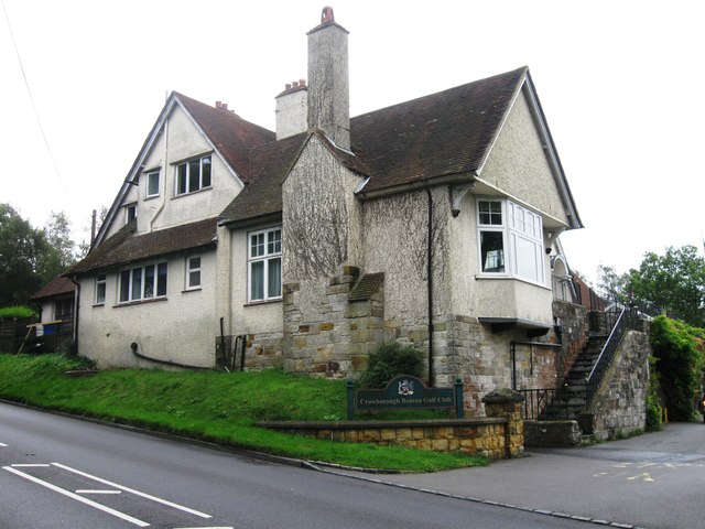
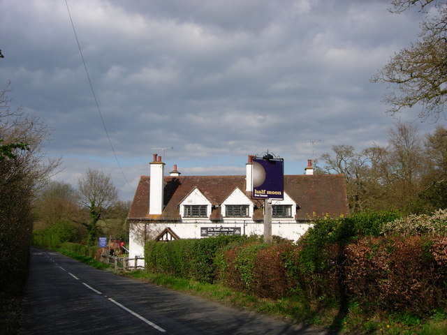
Crowborough

Crowborough is a town and civil parish in East Sussex, England, in the Weald at the edge of Ashdown Forest in the High Weald Area of Outstanding Natural...

Crowborough Community Church

Crowborough Community Church (also known as Community Church, Crowborough) is an Evangelical church in the town of Crowborough in East Sussex, England...

Pratt's Mill, Crowborough

Pratt's Mill is a tower mill at Crowborough, Sussex, England which has been truncated and converted to residential accommodation. == History == Pratt...

Poundgate

Poundgate is a hamlet in East Sussex on the A26 Uckfield Road at the junction with Chillies Road, just south of Crowborough. It has one pub, the Crow and...

Beacon Academy

Beacon Academy (formerly Beacon Community College) is a coeducational secondary school and sixth form located in Crowborough in the English county of East...

Bream Wood

Bream Wood is a 7.8-hectare (19-acre) biological Site of Special Scientific Interest north of Crowborough in East Sussex.This steep sided valley wood has...
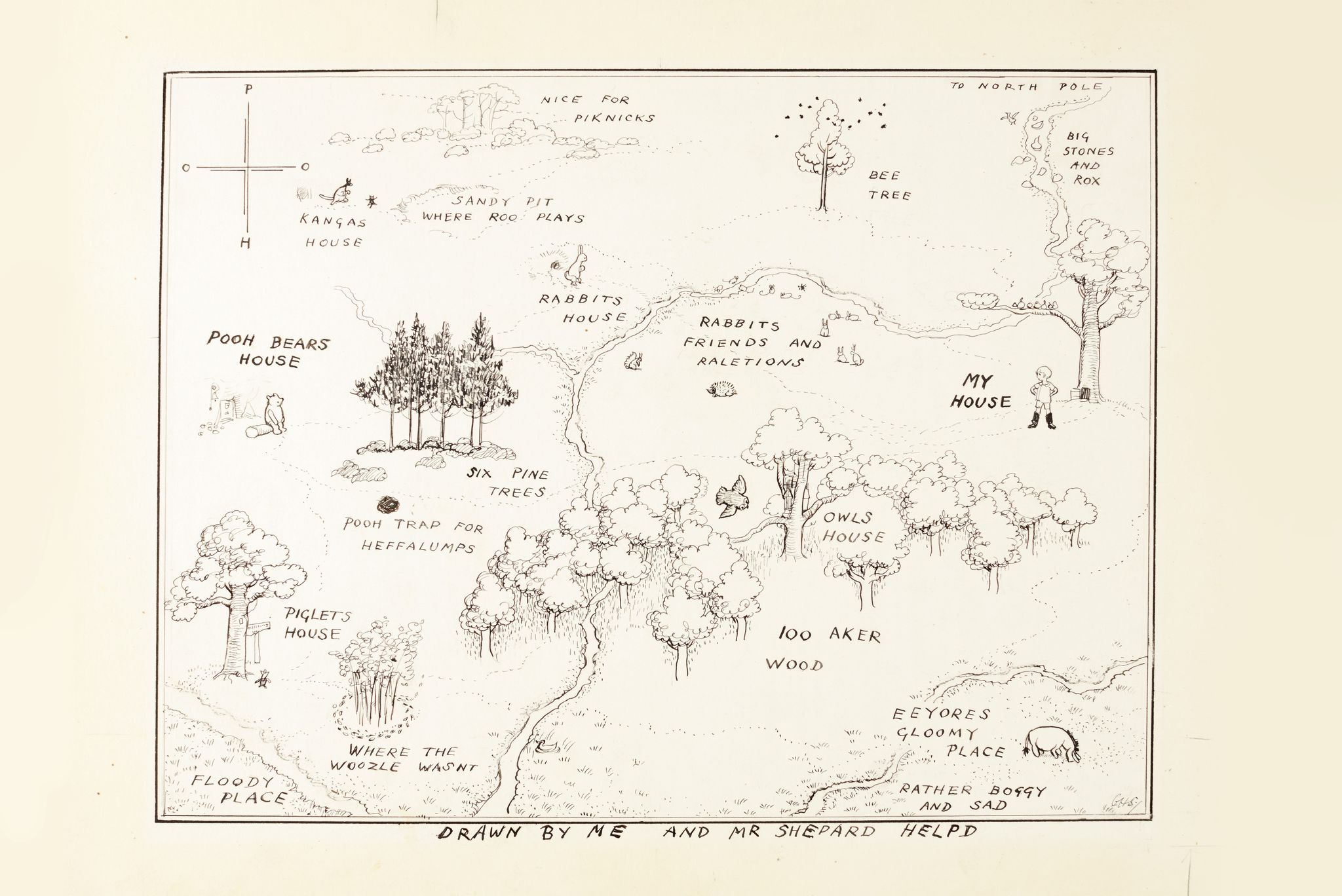
Hundred Acre Wood

The Hundred Acre Wood (also spelled as 100 Aker Wood, Hundred-Acre Wood, and 100 Acre Wood; also known as simply "The Wood") is a part of the fictional...

Related Videos

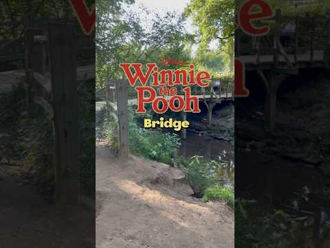
Walking to Winnie The Pooh's Bridge

Walking tour to see Winnie the Pooh's sticks bridge on a beautiful spring day in Ashdown Forest, England.

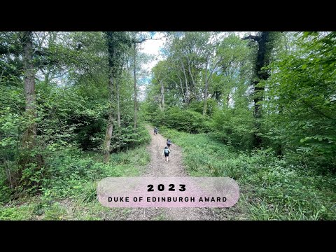
DofE bronze expedition 2023

hope you enjoy guys - ps i got bored at the end so its very blunt.

Nearby Amenities

Located within 500m of 51.063297,0.13448964
Bench
Lat/Long: 51.0654339/0.1388278
Direction: 235
Tourism: viewpoint
Lat/Long: 51.0654322/0.1387539
The data included in this document is from www.openstreetmap.org. The data is made available under ODbL.

Have you been to Cow Field?

Leave your review of Cow Field below (or comments, questions and feedback).