Doctor's Wood

Wood, Forest in Kent Sevenoaks

England

Doctor's Wood

Farm track meets Redmans Lane The track to the right goes to Homewood Farm. The track is also start of the footpath to Dalhanna. The sign is advertising Castle Farm which lies in the valley ahead.
Farm track meets Redmans Lane Credit: Trevor Harris

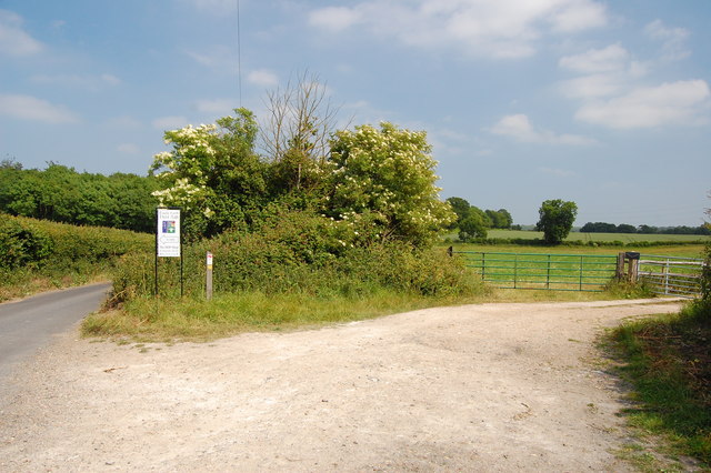
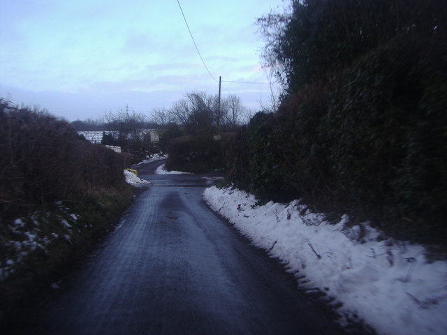
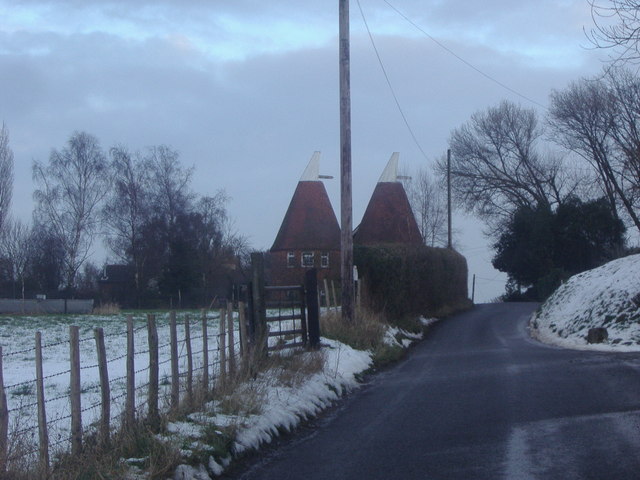
Doctor's Wood, also known as Wood, Forest, is a picturesque woodland located in the county of Kent, England. Covering an area of approximately 50 acres, it is situated near the village of Woodnesborough, just a few miles south of the historic town of Sandwich.

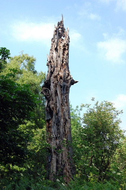
The woodland is characterized by its dense canopy of mixed deciduous and coniferous trees, creating a serene and tranquil atmosphere. The trees in Doctor's Wood include oak, beech, birch, and pine, among others, providing a diverse habitat for various wildlife species.

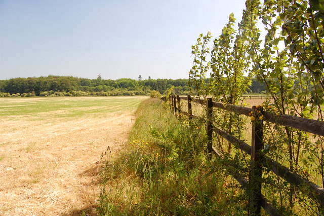
The forest floor is carpeted with a rich variety of native flora, including bluebells, primroses, and wild garlic, which create a vibrant display of colors during the spring and summer months. Several footpaths wind their way through the woodland, allowing visitors to explore and appreciate its natural beauty.

Doctor's Wood is not only a haven for nature enthusiasts, but also serves as an important ecological site. It provides a vital habitat for a range of bird species, such as woodpeckers, owls, and warblers, as well as small mammals like foxes, badgers, and squirrels.

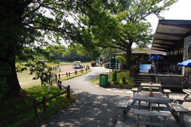
The woodland is a popular destination for leisurely walks, picnics, and nature photography. It offers a peaceful escape from the hustle and bustle of everyday life, allowing visitors to immerse themselves in the beauty of nature. Whether it's a family outing, a romantic stroll, or a solo adventure, Doctor's Wood provides a delightful retreat for all.

If you have any feedback on the listing, please let us know in the comments section below.

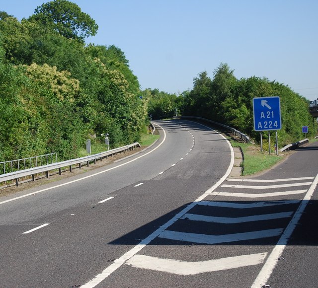
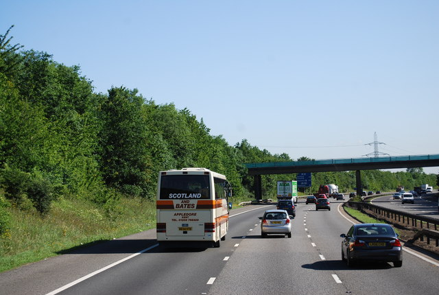
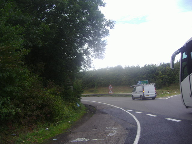
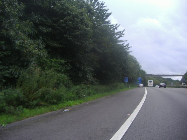
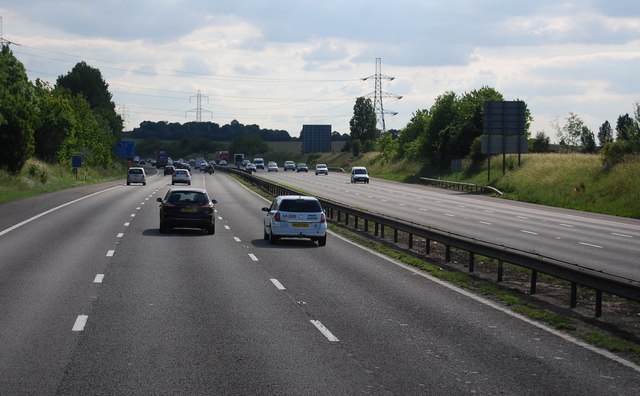
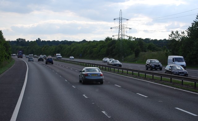
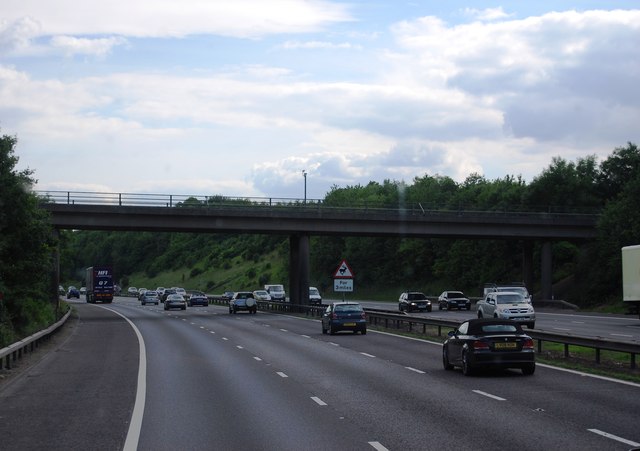
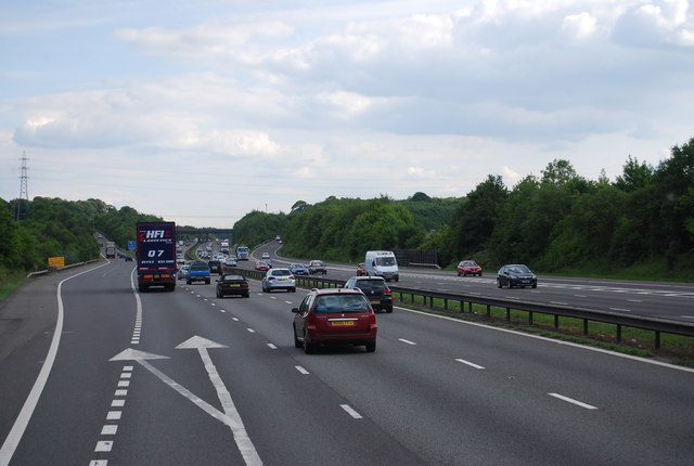
Doctor's Wood Images

Images are sourced within 2km of 51.360872/0.1474488 or Grid Reference TQ4964. Thanks to Geograph Open Source API. All images are credited.

Farm track meets Redmans Lane The track to the right goes to Homewood Farm. The track is also start of the footpath to Dalhanna. The sign is advertising Castle Farm which lies in the valley ahead.
Farm track meets Redmans Lane
The track to the right goes to Homewood Farm. The track is also start of the footpath to Dalhanna. The sign is advertising Castle Farm which lies in the valley ahead.
Dead Tree, Beechen Wood The footpath through Beechen Wood passes by this dead tree which has obviously been much pecked by woodpeckers!
Dead Tree, Beechen Wood
The footpath through Beechen Wood passes by this dead tree which has obviously been much pecked by woodpeckers!
The Clubhouse, Lullingstone Park Golf Course The scene outside the clubhouse.
The Clubhouse, Lullingstone Park Golf Course
The scene outside the clubhouse.
View from the footpath Looking south east from the path to Eynsford.
View from the footpath
Looking south east from the path to Eynsford.
Junction 4, M25 The M25 is a 117 mile orbital motorway that encircles London. It was constructed between 1975 and 1986.
The motorway is not a continuous loop as a section to the East of London at The Dartford Crossing is an A-Road.
Wikipedia; <span class="nowrap"><a title="http://en.wikipedia.org/wiki/M25_motorway" rel="nofollow ugc noopener" href="http://en.wikipedia.org/wiki/M25_motorway">Link</a><img style="margin-left:2px;" alt="External link" title="External link - shift click to open in new window" src="https://s1.geograph.org.uk/img/external.png" width="10" height="10"/></span>
Junction 4, M25
The M25 is a 117 mile orbital motorway that encircles London. It was constructed between 1975 and 1986. The motorway is not a continuous loop as a section to the East of London at The Dartford Crossing is an A-Road. Wikipedia; LinkExternal link
M25 near Parkgate Farm The M25 is a 117 mile orbital motorway that encircles London. It was constructed between 1975 and 1986.
The motorway is not a continuous loop as a section to the East of London at The Dartford Crossing is an A-Road.
Wikipedia; <span class="nowrap"><a title="http://en.wikipedia.org/wiki/M25_motorway" rel="nofollow ugc noopener" href="http://en.wikipedia.org/wiki/M25_motorway">Link</a><img style="margin-left:2px;" alt="External link" title="External link - shift click to open in new window" src="https://s1.geograph.org.uk/img/external.png" width="10" height="10"/></span>
M25 near Parkgate Farm
The M25 is a 117 mile orbital motorway that encircles London. It was constructed between 1975 and 1986. The motorway is not a continuous loop as a section to the East of London at The Dartford Crossing is an A-Road. Wikipedia; LinkExternal link
Exit 4 roundabout on the M25 Leading to Badgers Mount on the left turnoff
Exit 4 roundabout on the M25
Leading to Badgers Mount on the left turnoff
The M25 sliproad to Badgers Mount
M25 clockwise The M25 is a 117 mile orbital motorway that encircles London. It was constructed between 1975 and 1986.
The motorway is not a continuous loop as a section to the East of London at The Dartford Crossing is an A-Road.
Wikipedia; <span class="nowrap"><a title="http://en.wikipedia.org/wiki/M25_motorway" rel="nofollow ugc noopener" href="http://en.wikipedia.org/wiki/M25_motorway">Link</a><img style="margin-left:2px;" alt="External link" title="External link - shift click to open in new window" src="https://s1.geograph.org.uk/img/external.png" width="10" height="10"/></span>
M25 clockwise
The M25 is a 117 mile orbital motorway that encircles London. It was constructed between 1975 and 1986. The motorway is not a continuous loop as a section to the East of London at The Dartford Crossing is an A-Road. Wikipedia; LinkExternal link
M25 southbound The M25 is a 117 mile orbital motorway that encircles London. It was constructed between 1975 and 1986.
The motorway is not a continuous loop as a section to the East of London at The Dartford Crossing is an A-Road.
Wikipedia; <span class="nowrap"><a title="http://en.wikipedia.org/wiki/M25_motorway" rel="nofollow ugc noopener" href="http://en.wikipedia.org/wiki/M25_motorway">Link</a><img style="margin-left:2px;" alt="External link" title="External link - shift click to open in new window" src="https://s1.geograph.org.uk/img/external.png" width="10" height="10"/></span>
M25 southbound
The M25 is a 117 mile orbital motorway that encircles London. It was constructed between 1975 and 1986. The motorway is not a continuous loop as a section to the East of London at The Dartford Crossing is an A-Road. Wikipedia; LinkExternal link
Parkgate Road Bridge, M25 The M25 is a 117 mile orbital motorway that encircles London. It was constructed between 1975 and 1986.
The motorway is not a continuous loop as a section to the East of London at The Dartford Crossing is an A-Road.
Wikipedia; <span class="nowrap"><a title="http://en.wikipedia.org/wiki/M25_motorway" rel="nofollow ugc noopener" href="http://en.wikipedia.org/wiki/M25_motorway">Link</a><img style="margin-left:2px;" alt="External link" title="External link - shift click to open in new window" src="https://s1.geograph.org.uk/img/external.png" width="10" height="10"/></span>
Parkgate Road Bridge, M25
The M25 is a 117 mile orbital motorway that encircles London. It was constructed between 1975 and 1986. The motorway is not a continuous loop as a section to the East of London at The Dartford Crossing is an A-Road. Wikipedia; LinkExternal link
Junction 4, M25 The M25 is a 117 mile orbital motorway that encircles London. It was constructed between 1975 and 1986.
The motorway is not a continuous loop as a section to the East of London at The Dartford Crossing is an A-Road.
Wikipedia; <span class="nowrap"><a title="http://en.wikipedia.org/wiki/M25_motorway" rel="nofollow ugc noopener" href="http://en.wikipedia.org/wiki/M25_motorway">Link</a><img style="margin-left:2px;" alt="External link" title="External link - shift click to open in new window" src="https://s1.geograph.org.uk/img/external.png" width="10" height="10"/></span>
Junction 4, M25
The M25 is a 117 mile orbital motorway that encircles London. It was constructed between 1975 and 1986. The motorway is not a continuous loop as a section to the East of London at The Dartford Crossing is an A-Road. Wikipedia; LinkExternal link
The M25 from Parkgate Road near Lullingstone
The entrance to Lullingstone Park golf course
Entrance to The Barons, Redmans Lane
Firmingers Road at the junction of Rock Hill
Oast house on Well Hill Road
Show me another place!

Doctor's Wood is located at Grid Ref: TQ4964 (Lat: 51.360872, Lng: 0.1474488)

Administrative County: Kent

District: Sevenoaks

Police Authority: Kent

What 3 Words

///hangs.pile.skinny. Near Orpington, London

Nearby Locations

Doctor's Wood Owen Wood

Related Wikis

Well Hill

Well Hill is a small rural hamlet within the civil parish of Shoreham in the Sevenoaks District of Kent, England. It lies 3 miles south east of Orpington...

Chelsfield

Chelsfield is an area in south-east London, England, within the London Borough of Bromley and, prior to 1965, in the historic county of Kent. It lies south...

Knockholt railway station

Knockholt railway station is on the South Eastern Main Line, located in the London Borough of Bromley, Greater London. It is 16 miles 44 chains (26.6 km...

Hewitt's Chalk Bank

Hewitt's Chalk Bank is a 4-hectare (10-acre) nature reserve north-east of Pratt's Bottom in the London Borough of Bromley. It is managed by the Kent Wildlife...

Badgers Mount

Badgers Mount is a village and civil parish in the Sevenoaks District of Kent, England It is located 3.6 miles south east of Orpington and 5.6 miles north...

Goddington

Goddington is an area in south-east London, located in the London Borough of Bromley. It is situated south of Ramsden, south-east of Orpington town centre...

Ramsden, Orpington

Ramsden is an area in south-east London, generally considered a suburb of Orpington, located in the London Borough of Bromley and, prior to 1965, within...

Crockenhill

Crockenhill is a village in the Sevenoaks District of Kent, England. It is located 1 mile south of Swanley and 4.5 miles north east of Orpington, adjacent...

Nearby Amenities

Located within 500m of 51.360872,0.1474488
Power: tower
Lat/Long: 51.3629879/0.1532944
Power: tower
Lat/Long: 51.3617017/0.1502903
Power: tower
Lat/Long: 51.360319/0.1473464
Power: tower
Lat/Long: 51.3583681/0.1430205
Barrier: kissing_gate
Bicycle: no
Foot: yes
Horse: no
Motor Vehicle: no
Lat/Long: 51.3608295/0.1443865
Barrier: kissing_gate
Bicycle: no
Foot: yes
Horse: no
Motor Vehicle: no
Lat/Long: 51.3625468/0.1453658
Barrier: stile
Bicycle: no
Horse: no
Motor Vehicle: no
Stile: stepover
Lat/Long: 51.3594683/0.1501718
Barrier: kissing_gate
Bicycle: no
Foot: yes
Horse: no
Motor Vehicle: no
Lat/Long: 51.3629143/0.1507714
Barrier: kissing_gate
Bicycle: no
Foot: yes
Horse: no
Motor Vehicle: no
Lat/Long: 51.3604621/0.1504154
Barrier: kissing_gate
Bicycle: no
Foot: yes
Horse: no
Motor Vehicle: no
Lat/Long: 51.3630267/0.1506887
Barrier: kissing_gate
Bicycle: no
Foot: yes
Horse: no
Motor Vehicle: no
Lat/Long: 51.3630281/0.1501792
Barrier: stile
Bicycle: no
Foot: yes
Horse: no
Material: wood
Motor Vehicle: no
Stile: stepover
Lat/Long: 51.3610468/0.1504586
The data included in this document is from www.openstreetmap.org. The data is made available under ODbL.

Have you been to Doctor's Wood?

Leave your review of Doctor's Wood below (or comments, questions and feedback).