Chittenden Shaw
Wood, Forest in Kent Sevenoaks
England
Chittenden Shaw
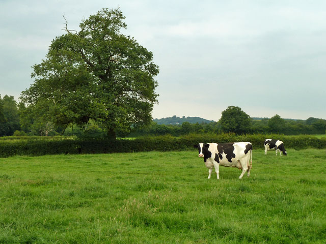
Chittenden Shaw is a small village located in the county of Kent, England, specifically situated within the Wood and Forest district. With its picturesque setting and serene atmosphere, Chittenden Shaw offers residents and visitors the perfect escape from the hustle and bustle of city life.
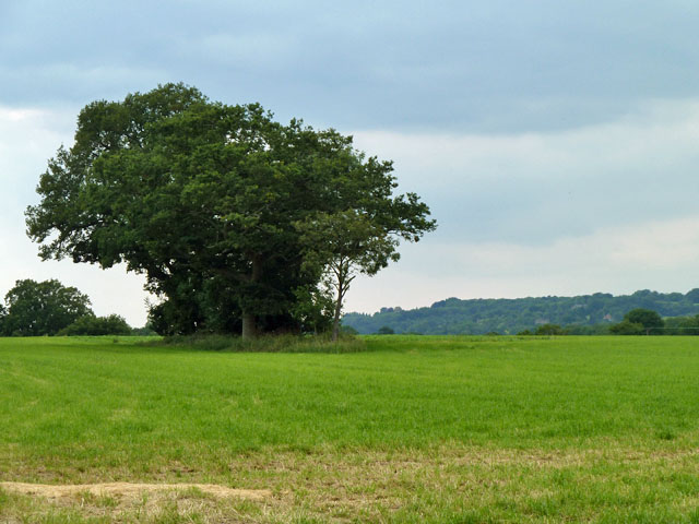
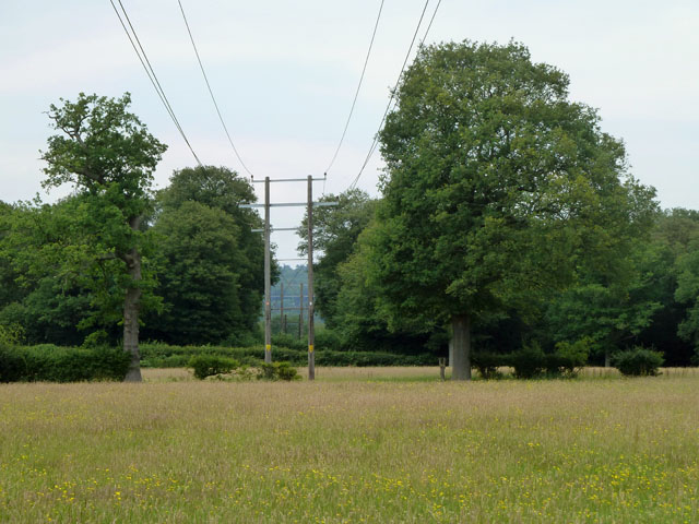
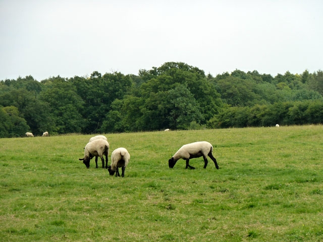
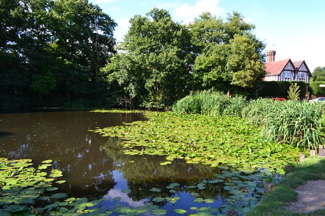
Surrounded by lush greenery and dense forests, the village is known for its natural beauty and tranquil surroundings. It is an ideal destination for nature enthusiasts and outdoor lovers, providing ample opportunities for hiking, cycling, and exploring the stunning woodlands that surround it.
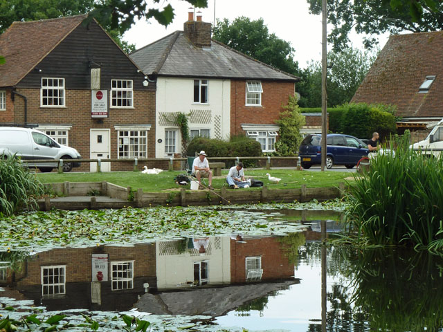
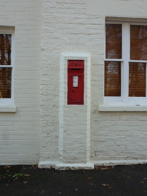
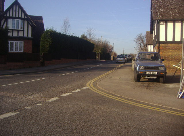
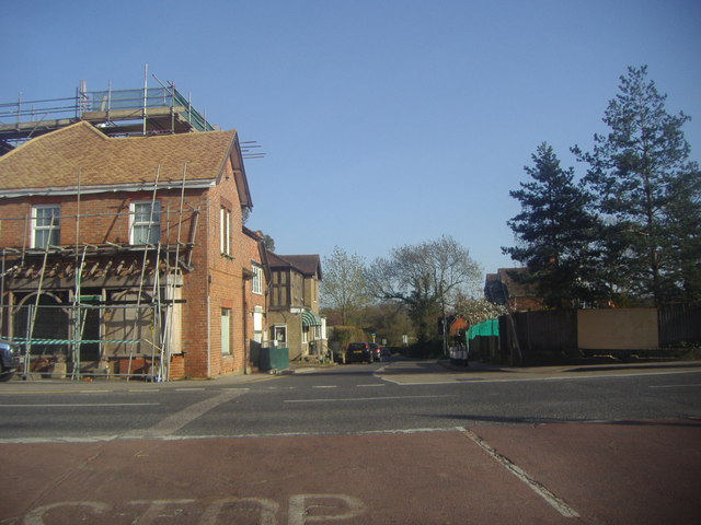
The village itself is characterized by its charming and quaint cottages, many of which date back several centuries. The architecture reflects the traditional English countryside style, adding to the village's rustic charm.
Despite its small size, Chittenden Shaw boasts a close-knit community that takes pride in preserving its rich history and traditions. The village is home to a local pub, which serves as a popular gathering spot for residents and visitors alike. It offers a warm and welcoming atmosphere, where people can enjoy a pint of local ale or indulge in traditional British cuisine.
The village is also conveniently located near several notable attractions. The historic city of Canterbury, renowned for its stunning cathedral and medieval architecture, is just a short drive away. Additionally, the beautiful coastline of Kent is within easy reach, providing opportunities for seaside walks and relaxation.
In summary, Chittenden Shaw is a charming village nestled within the woodlands and forests of Kent. With its natural beauty, historic cottages, and strong sense of community, it offers a peaceful and idyllic retreat for those seeking a break from the busy urban lifestyle.
If you have any feedback on the listing, please let us know in the comments section below.
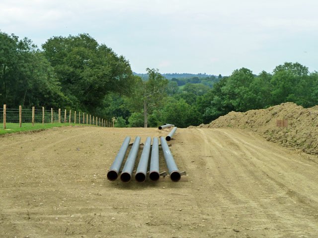
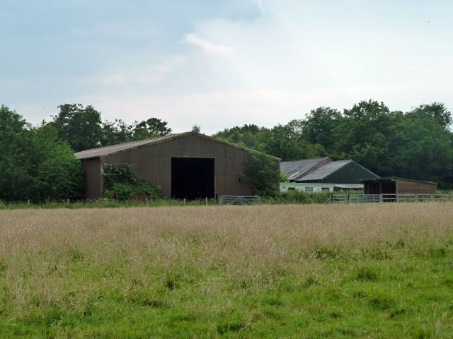
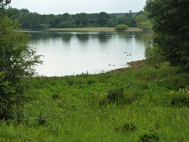
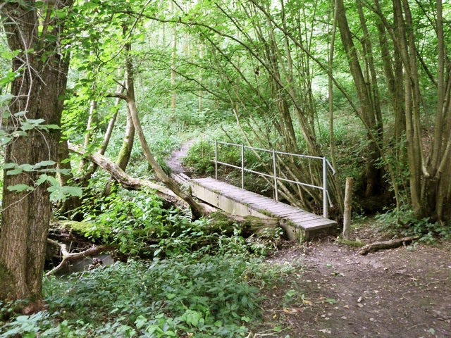
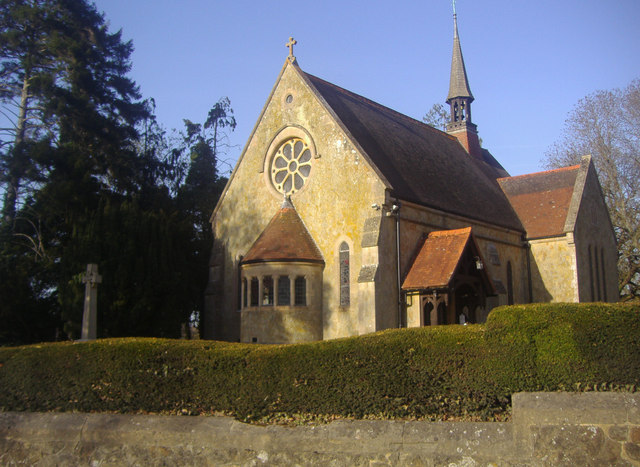
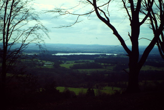
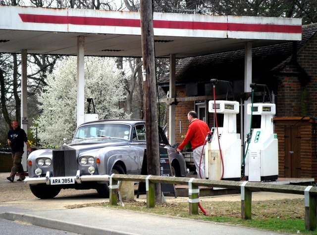
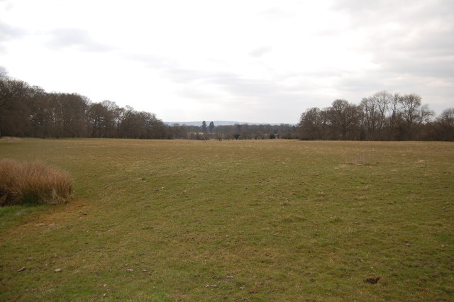
Chittenden Shaw Images
Images are sourced within 2km of 51.224991/0.12196859 or Grid Reference TQ4849. Thanks to Geograph Open Source API. All images are credited.

Chittenden Shaw is located at Grid Ref: TQ4849 (Lat: 51.224991, Lng: 0.12196859)
Administrative County: Kent
District: Sevenoaks
Police Authority: Kent
What 3 Words
///leader.volume.cable. Near Edenbridge, Kent
Nearby Locations
Related Wikis
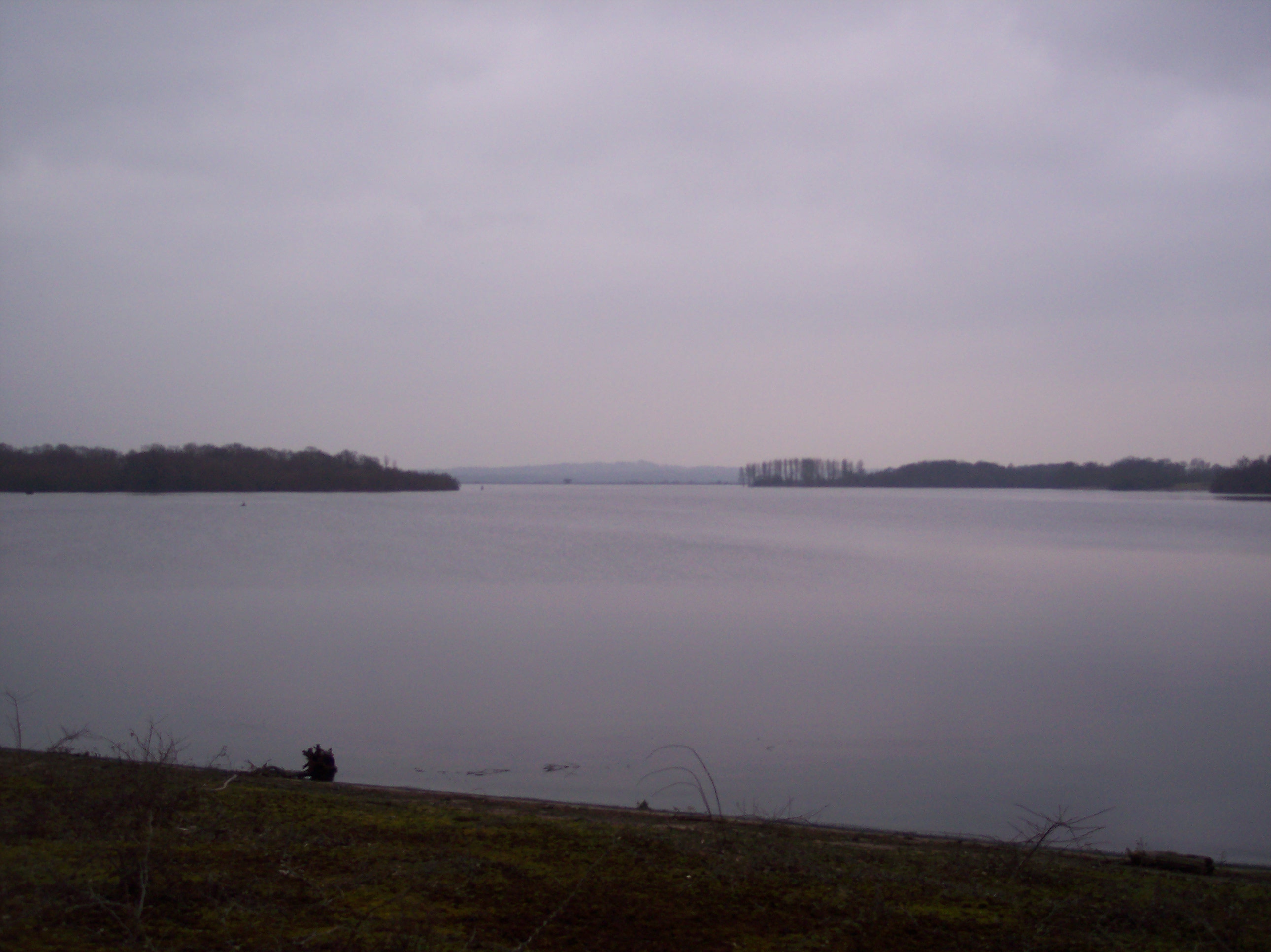
Bough Beech Reservoir
Bough Beech Reservoir is a 42-hectare (100-acre) nature reserve in Bough Beech, south-west of Sevenoaks in Kent. It was managed by the Kent Wildlife Trust...

Four Elms
Four Elms is a village within the civil parish of Hever in the Sevenoaks District of Kent, England. The village is located on a crossroads between Edenbridge...

Toys Hill
Toys Hill is a hamlet which lies within Brasted civil parish in the Sevenoaks district of Kent, England. It lies to the south of Brasted Chart, also in...

Bore Place
Bore Place (also Boar Place) was the country seat of the manor of Milbroke in Kent. The manor house was constructed in around 1745. It was originally named...

Stubbs Wood Country Park
Stubbs Wood Country Park is in Sevenoaks, in Kent, England. It is located on the Greensand Ridge, close to Ide Hill village. The site is owned and managed...

Ide Hill
Ide Hill is a village within the civil parish of Sundridge with Ide Hill, in the Sevenoaks District of Kent, England. It stands on one of the highest...

Scord's Wood and Brockhoult Mount
Scord's Wood and Brockhoult Mount is a 252.3-hectare (623-acre) biological Site of Special Scientific Interest west of Sevenoaks in Kent. Scord's Wood...

Bough Beech
Bough Beech is a hamlet in the county of Kent, England, and is south of the Bough Beech Reservoir. It is located approximately three miles east of Edenbridge...
Nearby Amenities
Located within 500m of 51.224991,0.12196859Have you been to Chittenden Shaw?
Leave your review of Chittenden Shaw below (or comments, questions and feedback).