Hoggate's Wood
Wood, Forest in Hertfordshire East Hertfordshire
England
Hoggate's Wood

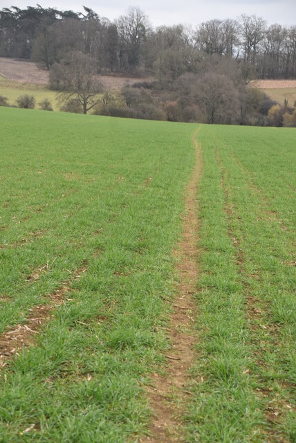
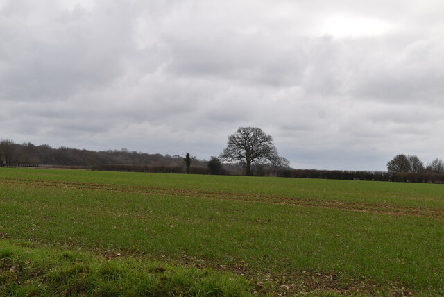
Hoggate's Wood is a picturesque woodland located in Hertfordshire, England. Situated near the village of Hoggate, it covers an area of approximately 50 acres and is a popular destination for nature lovers and outdoor enthusiasts. The wood is part of a larger forested area, consisting of a mix of deciduous and coniferous trees.
One of the notable features of Hoggate's Wood is its diverse range of flora and fauna. The woodland is home to a variety of tree species, including oak, beech, birch, and pine, which provide a rich habitat for numerous bird species, small mammals, and insects. Visitors to the wood can often spot species such as woodpeckers, owls, squirrels, and deer.
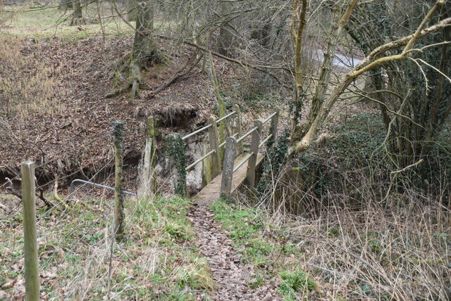
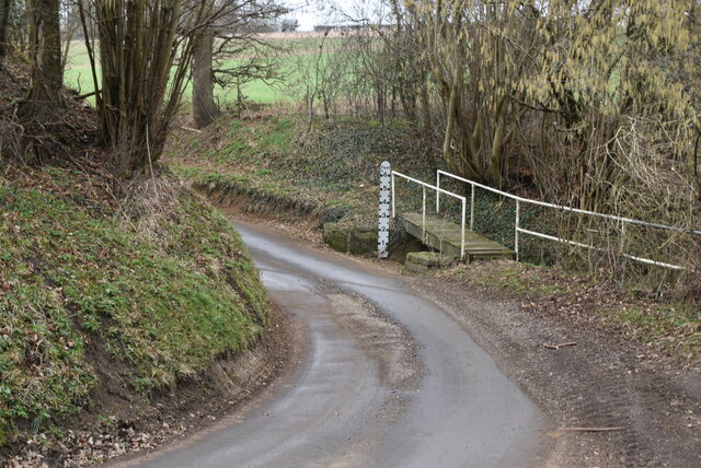
The wood offers several well-maintained walking trails, allowing visitors to explore its natural beauty at their own pace. These trails wind through the forest, offering stunning views of the surrounding landscape and opportunities for birdwatching and wildlife spotting. Additionally, there are designated picnic areas and benches for visitors to relax and enjoy the peaceful atmosphere.
Hoggate's Wood is also steeped in history. It is believed to have ancient origins and has been mentioned in historical records dating back centuries. The wood has witnessed various human activities throughout its history, including timber harvesting and charcoal production. Today, it stands as a protected area, managed by local authorities to preserve its natural and historical significance.
Overall, Hoggate's Wood is a tranquil and captivating woodland in Hertfordshire, providing a haven for nature enthusiasts and a glimpse into the region's natural and cultural heritage.
If you have any feedback on the listing, please let us know in the comments section below.
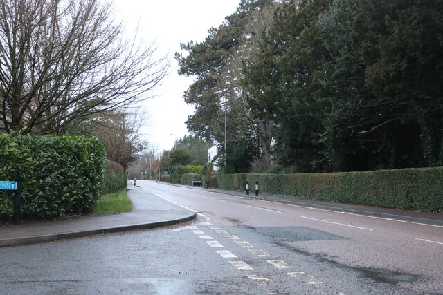
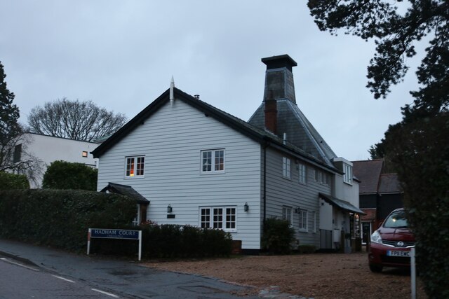
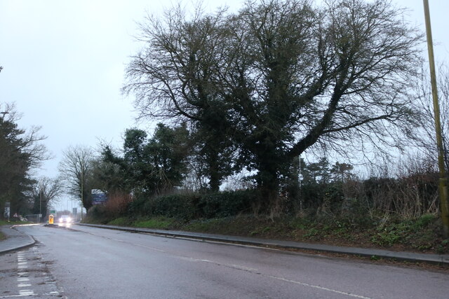
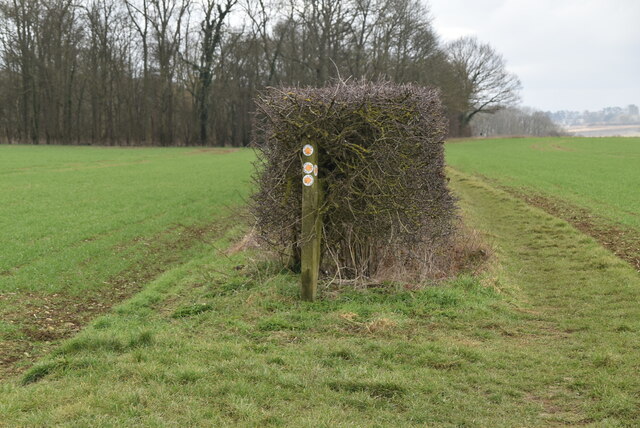
Hoggate's Wood Images
Images are sourced within 2km of 51.88255/0.14785621 or Grid Reference TL4722. Thanks to Geograph Open Source API. All images are credited.

Hoggate's Wood is located at Grid Ref: TL4722 (Lat: 51.88255, Lng: 0.14785621)
Administrative County: Hertfordshire
District: East Hertfordshire
Police Authority: Hertfordshire
What 3 Words
///boldest.state.breakaway. Near Bishops Stortford, Hertfordshire
Nearby Locations
Related Wikis

Cricket Field Lane
Cricketfield Lane is a cricket ground in Bishop's Stortford, Hertfordshire. The earliest recorded match on the ground was in 1862 between Bishop's Stortford...

Boar's Head Inn, Bishop's Stortford
The Boar's Head Inn is a Grade II* listed public house in Bishop's Stortford, Hertfordshire, England. The timber framed building was built in the late...
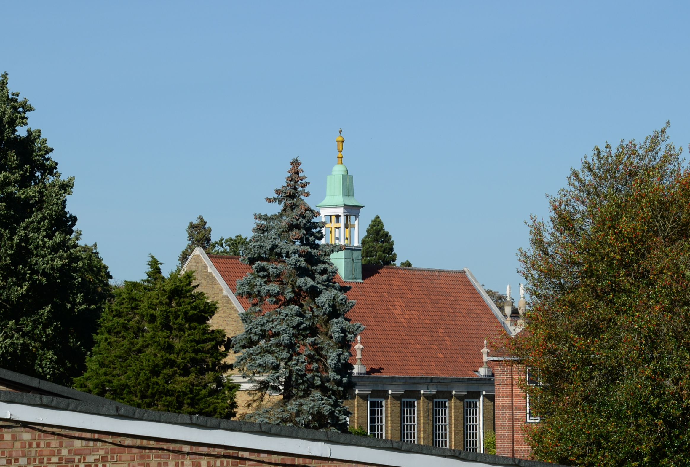
Bishop's Stortford College
Bishop's Stortford College is a private boarding and day school in the English public school tradition for more than 1,200 pupils aged 4–18, situated in...

St Mary's Catholic School, Bishop's Stortford
St Mary's Catholic School is a Roman Catholic secondary school and sixth form located in Bishop's Stortford, Hertfordshire, England. == History == In 1896...
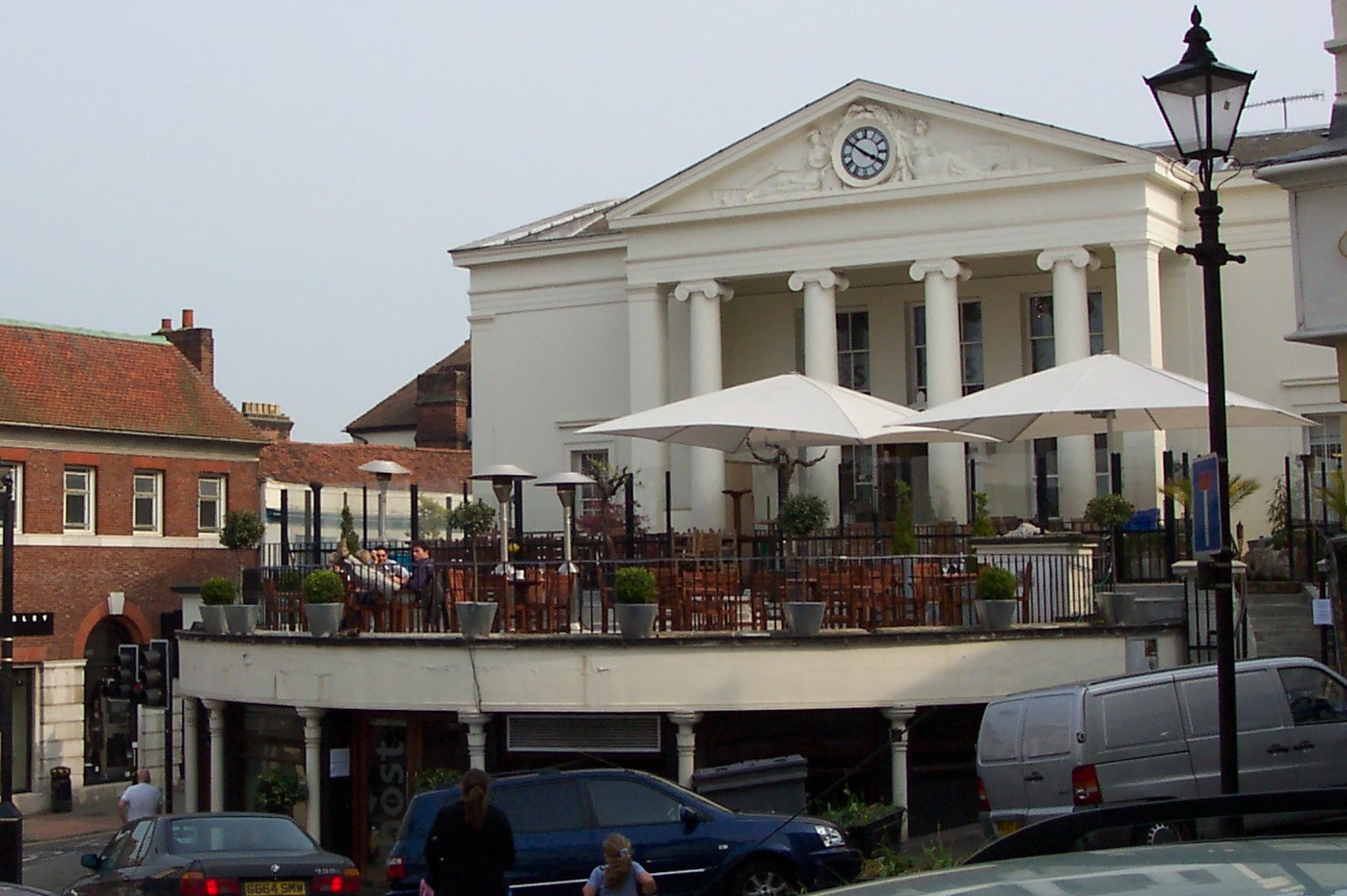
Corn Exchange, Bishop's Stortford
The Corn Exchange is a commercial building in the Market Square in Bishop's Stortford, Hertfordshire, England. The structure, which is currently used to...
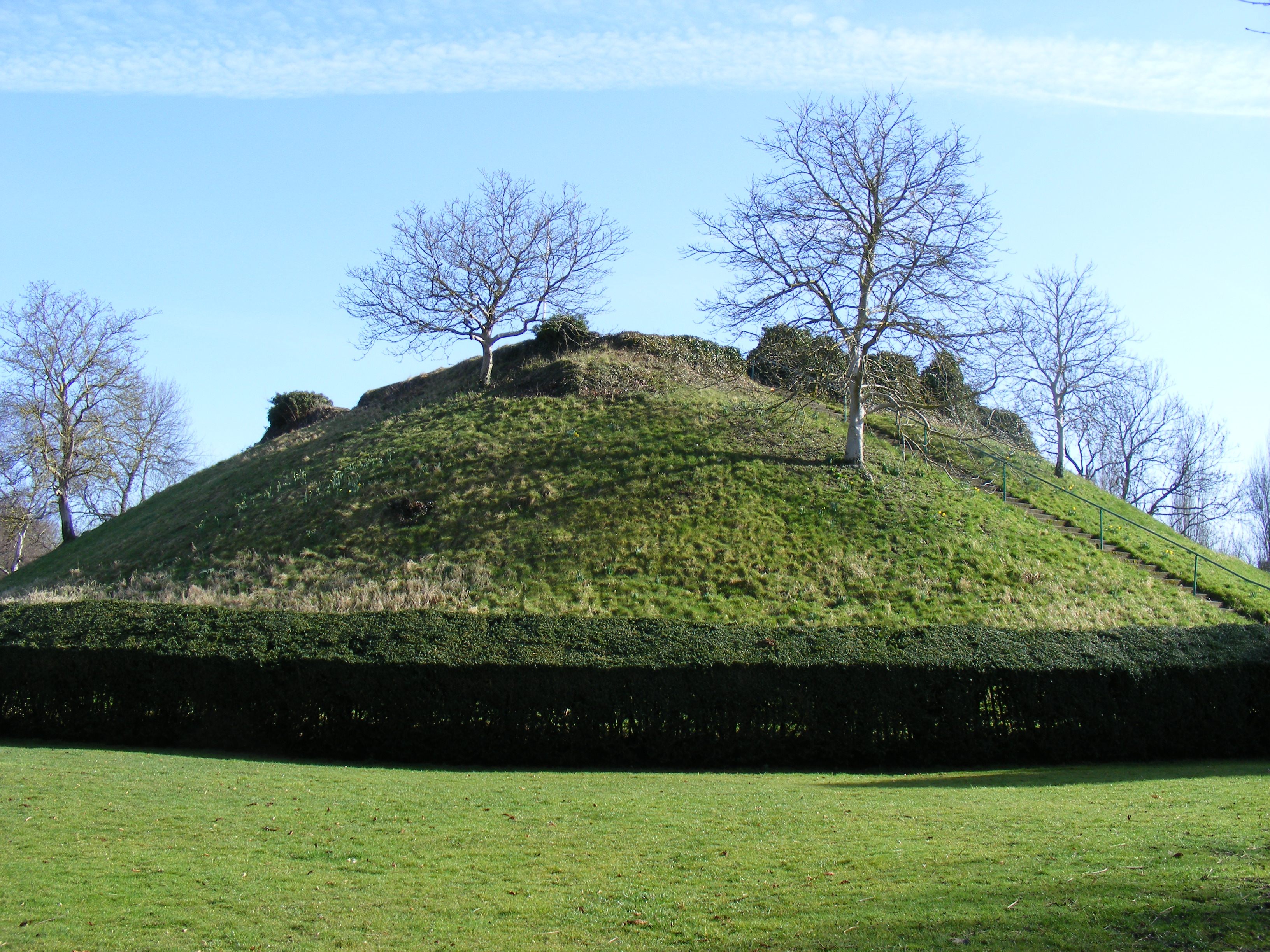
Waytemore Castle
Waytemore Castle is a ruined castle in the town of Bishop's Stortford in Hertfordshire, England. The remains are a Grade I listed structure.This began...
Hockerill Anglo-European College
Hockerill Anglo-European College (formerly known as Hockerill School) is an international state boarding school with academy status located in Bishop's...
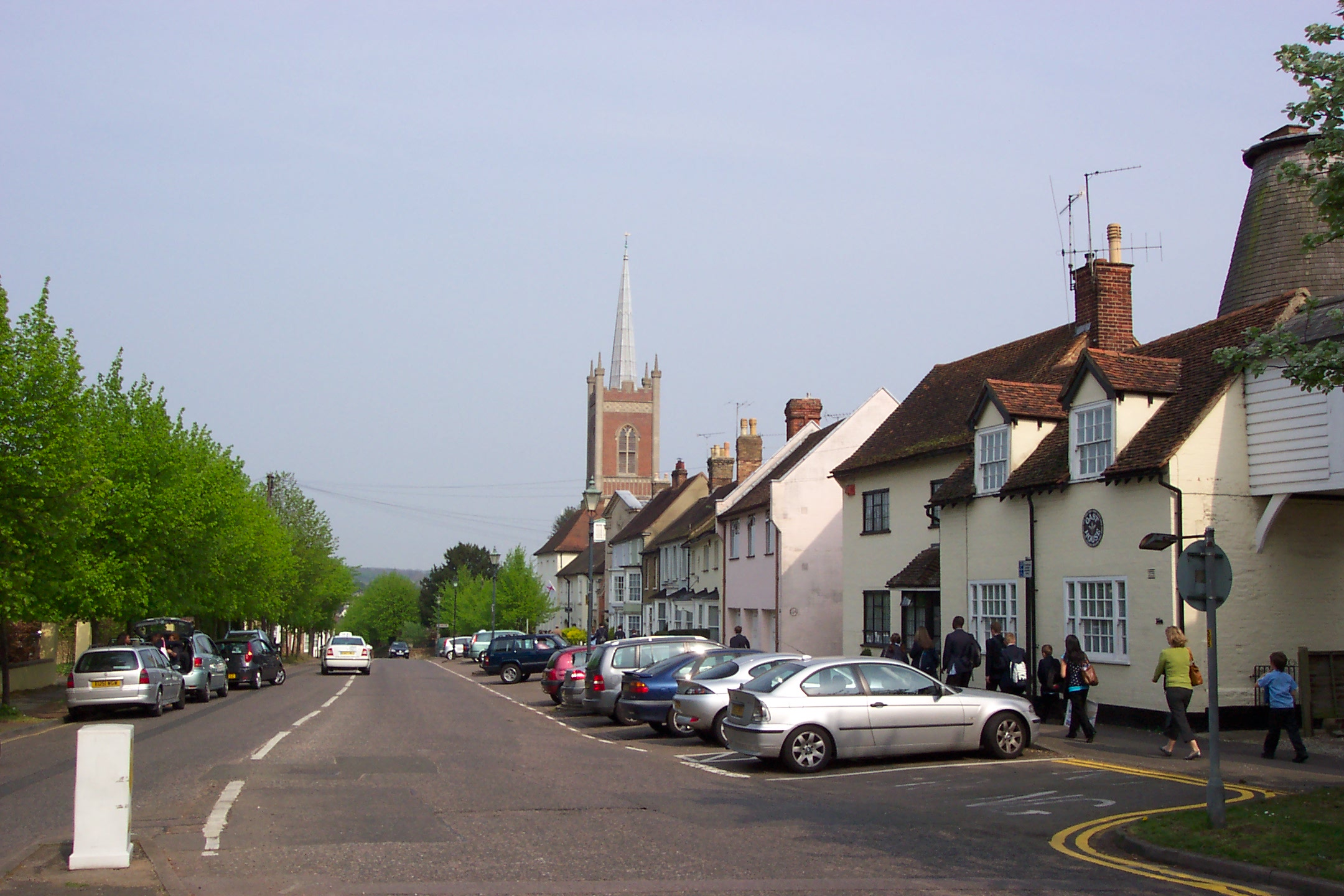
Bishop's Stortford
Bishop's Stortford is a historic market town in the London Commuter Belt. Based on the border of Hertfordshire and Essex, just west of the M11 motorway...
Nearby Amenities
Located within 500m of 51.88255,0.14785621Have you been to Hoggate's Wood?
Leave your review of Hoggate's Wood below (or comments, questions and feedback).