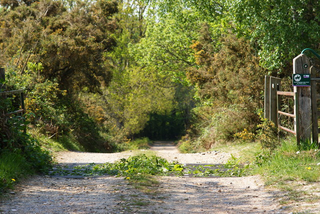
Minepit Wood

Wood, Forest in Sussex Wealden

England

Minepit Wood

Ashdown Forest Garden Centre, Sussex A large garden centre, complete with café (out of picture, to the right).
Ashdown Forest Garden Centre, Sussex Credit: Peter Trimming

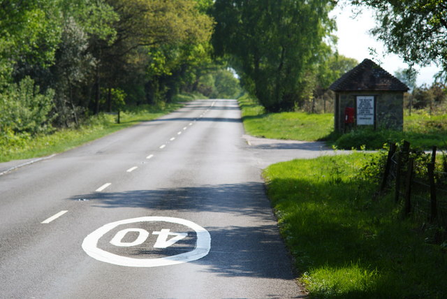
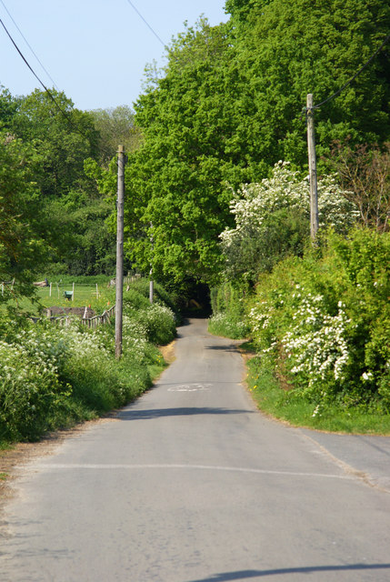
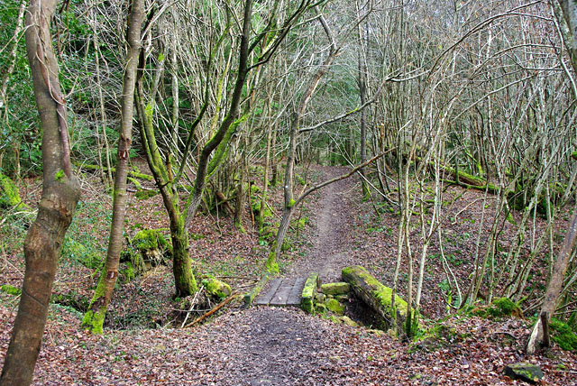
Minepit Wood is a picturesque woodland located in the county of Sussex, England. Situated in the heart of the South Downs National Park, this enchanting forest covers an area of approximately 100 acres, offering visitors a tranquil escape from the bustling city life.

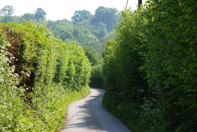
The wood is characterized by its diverse range of tree species, including oak, beech, and ash, which create a dense canopy overhead, providing shelter for a variety of wildlife. The forest floor is adorned with a rich carpet of bluebells in the spring, adding a splash of vibrant color to the landscape.

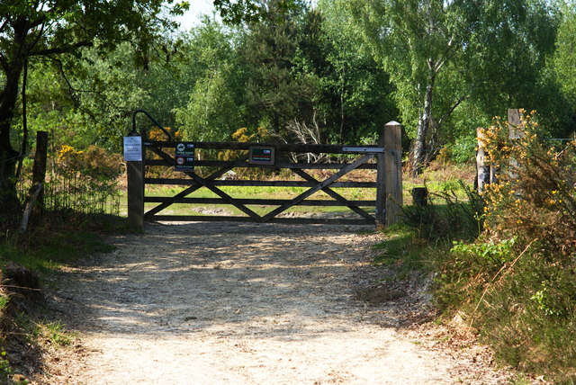
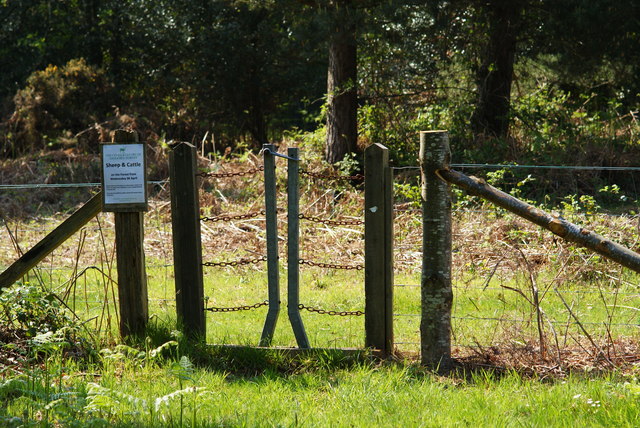
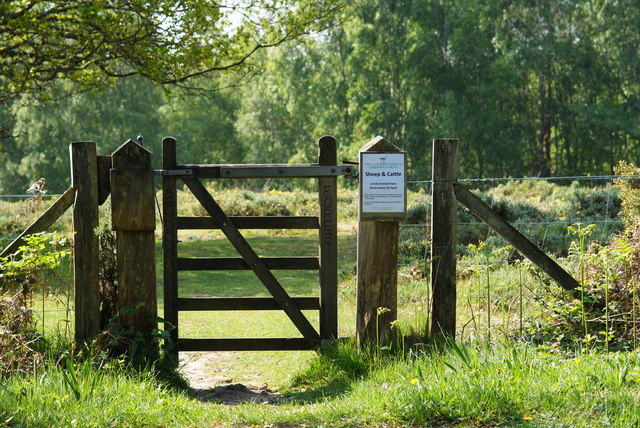
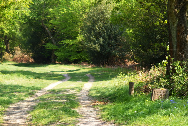
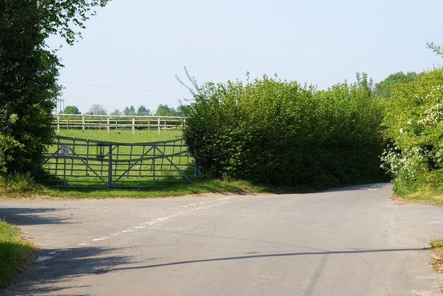
Walking through Minepit Wood, one can explore a network of well-maintained trails that wind their way through the woods, offering breathtaking views of the surrounding countryside. These paths are perfect for both leisurely strolls and more adventurous hikes, catering to visitors of all ages and fitness levels.

The woodland is also home to a thriving population of wildlife. Deer, foxes, and badgers can often be spotted roaming among the trees, while bird enthusiasts will be delighted by the presence of various species, including woodpeckers, owls, and songbirds.

Minepit Wood is a popular destination for nature lovers, photographers, and those seeking a peaceful retreat. Its natural beauty, combined with its accessibility and well-preserved trails, make it an ideal location for outdoor activities such as picnicking, birdwatching, and nature walks.

Overall, Minepit Wood in Sussex offers a serene and captivating woodland experience, inviting visitors to immerse themselves in the beauty of nature and enjoy the tranquility of this enchanting forest.

If you have any feedback on the listing, please let us know in the comments section below.

Minepit Wood Images

Images are sourced within 2km of 51.021311/0.10753538 or Grid Reference TQ4726. Thanks to Geograph Open Source API. All images are credited.

Ashdown Forest Garden Centre, Sussex A large garden centre, complete with café (out of picture, to the right).
Ashdown Forest Garden Centre, Sussex
A large garden centre, complete with café (out of picture, to the right).
Milepost at Duddleswell, Sussex Located on a bank, opposite the Duddleswell Tea Rooms. 39 miles to London; a long walk!
Milepost at Duddleswell, Sussex
Located on a bank, opposite the Duddleswell Tea Rooms. 39 miles to London; a long walk!
Postbox at Duddleswell, Sussex Located outside the Duddleswell Tea Rooms.
Postbox at Duddleswell, Sussex
Located outside the Duddleswell Tea Rooms.
Gateway to the Ashdown Forest, Sussex Photograph taken from the B2026.
Gateway to the Ashdown Forest, Sussex
Photograph taken from the B2026.
Stile Onto the Ashdown Forest, Sussex A useful stile design; especially for those with mobility problems, or with animals.
Stile Onto the Ashdown Forest, Sussex
A useful stile design; especially for those with mobility problems, or with animals.
B2026 at Fairwarp, Sussex In the foreground, the 40 MPH Ashdown Forest speed limit is marked on the road. To the right of picture, a bus shelter can be seen.
B2026 at Fairwarp, Sussex
In the foreground, the 40 MPH Ashdown Forest speed limit is marked on the road. To the right of picture, a bus shelter can be seen.
Gate Onto the Ashdown Forest, Sussex Photographed from the B2026
Gate Onto the Ashdown Forest, Sussex
Photographed from the B2026
Public Footpath at Fairwarp, Sussex Photographed from the B2026.
Public Footpath at Fairwarp, Sussex
Photographed from the B2026.
Public Footpath at Fairwarp, Sussex Looking in the direction of the Ashdown Forest, from the B2026. A sign, to the right of picture, states that riding beyond this point is by permit only.
Public Footpath at Fairwarp, Sussex
Looking in the direction of the Ashdown Forest, from the B2026. A sign, to the right of picture, states that riding beyond this point is by permit only.
B2026 at Fairwarp, Sussex Looking in the direction of the Ashdown Forest. Note the 40 MPH speed limit, marked on the road. Fairwarp Church, hidden behind trees, is located near the centre of picture. The gateway, to the church, can just be seen.
B2026 at Fairwarp, Sussex
Looking in the direction of the Ashdown Forest. Note the 40 MPH speed limit, marked on the road. Fairwarp Church, hidden behind trees, is located near the centre of picture. The gateway, to the church, can just be seen.
Nursery Lane, Fairwarp, Sussex An inviting country lane, seen from the B2026.
Nursery Lane, Fairwarp, Sussex
An inviting country lane, seen from the B2026.
Fairwarp Village Hall, Sussex Photographed from Nursery Lane.
Fairwarp Village Hall, Sussex
Photographed from Nursery Lane.
Nursery Lane, Fairwarp, Sussex A quiet country lane. Out of picture, to the left, a row of houses is hidden by the high hedge.
Nursery Lane, Fairwarp, Sussex
A quiet country lane. Out of picture, to the left, a row of houses is hidden by the high hedge.
Nursery Lane, Fairwarp, Sussex Looking in the direction of Fairwarp village. A row of houses is out of picture, to the right.
Nursery Lane, Fairwarp, Sussex
Looking in the direction of Fairwarp village. A row of houses is out of picture, to the right.
Nursery Lane, Fairwarp, Sussex Looking in the direction of Maresfield. Note the high hedges, either side of this narrow lane.
Nursery Lane, Fairwarp, Sussex
Looking in the direction of Maresfield. Note the high hedges, either side of this narrow lane.
Junction of Nursery Lane and Burrells Lane, Sussex The location is just north of the Maresfield Park estate.
Junction of Nursery Lane and Burrells Lane, Sussex
The location is just north of the Maresfield Park estate.
Duddleswell Tea Rooms
Tangled trees on edge of Ashdown Forest near Duddleswell
Show me another place!

Minepit Wood is located at Grid Ref: TQ4726 (Lat: 51.021311, Lng: 0.10753538)

Administrative County: East Sussex

District: Wealden

Police Authority: Sussex

What 3 Words

///impact.inventors.basket. Near Buxted, East Sussex
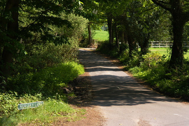
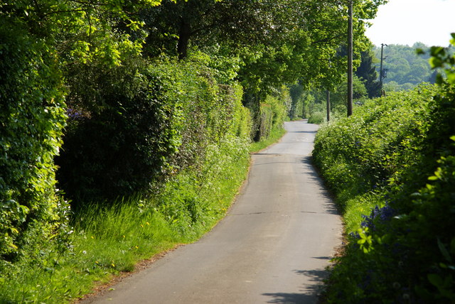
Related Wikis

Heron's Ghyll

Heron's Ghyll is a hamlet in the Wealden district of East Sussex. St John the Evangelist Church is a Catholic church in the village. There is a late 19th...

St John the Evangelist Church, Heron's Ghyll

St John's Church or St John the Evangelist Church is a Roman Catholic Parish Church in the Heron's Ghyll settlement of Buxted, East Sussex, England. It...

Temple Grove School

Temple Grove School was a preparatory school for boys, and after 1984 also for girls, originally at Parsons Green, London, later at East Sheen, London...

Brickfield Meadow

Brickfield Meadow is a 1.4-hectare (3.5-acre) nature reserve north of Maresfield in East Sussex. It is managed by the Sussex Wildlife Trust.This wildflower...
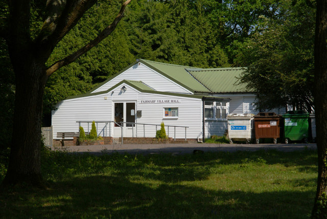
Fairwarp

Fairwarp is a small village within the civil parish of Maresfield in the Wealden district of East Sussex, England. Its nearest town is Uckfield, which...

Rock Wood

Rock Wood is a 10.4-hectare (26-acre) biological Site of Special Scientific Interest north of Uckfield in East Sussex.This ancient wood has several different...

High Hurstwood

High Hurstwood is a village in the Wealden district of East Sussex. == External links == High Hurstwood village history Holy Trinity Church, High Hurstwood...

Richard Hill (RAF officer)

Lieutenant Richard Frank Hill (28 April 1899 – 17 September 1918) was a British World War I flying ace credited with seven aerial victories. == Biography... ==

Related Videos

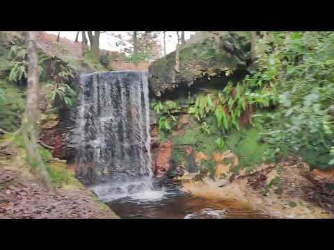
DofE bronze expedition 2023

hope you enjoy guys - ps i got bored at the end so its very blunt.

A trip to the Hundred Acre Wood (Ashdown Forest) and Pooh Corner | Hayley Warren

My birthday trip to Pooh Corner and the Hundred Acre Wood to play Poohsticks.

Nearby Amenities

Located within 500m of 51.021311,0.10753538
Ford: yes
Lat/Long: 51.0218026/0.1035044
Post Box
Collection Times: Mo-Fr 16:15; Sa 09:45
Ref: TN22 46
Lat/Long: 51.0221094/0.1018748
Herons Ghyll
Place: hamlet
Lat/Long: 51.0224339/0.1108387
Post Box
Operator: Royal Mail
Post Box Type: lamp
Ref: TN22 52
Royal Cypher: EIIR
Royal Cypher Wikidata: Q33102113
Lat/Long: 51.0238025/0.1108302
Home Farm
Place: farm
Lat/Long: 51.0213516/0.1115455
Addr Housename: Minns Cottage
Building: house
Lat/Long: 51.0219909/0.1103396
Bus Stop
Perrymans Lane
Naptan AtcoCode: 1400WE10089
Naptan NaptanCode: esudgwpw
Public Transport: platform
Lat/Long: 51.0200524/0.1087011
Bus Stop
Perrymans Lane
Public Transport: platform
Lat/Long: 51.0202221/0.1087182
Bus Stop
Church
Public Transport: platform
Lat/Long: 51.0230874/0.1107646
Bus Stop
Church
Naptan AtcoCode: 1400WE10083
Naptan NaptanCode: esudgwpa
Public Transport: platform
Lat/Long: 51.0235236/0.1106447
The data included in this document is from www.openstreetmap.org. The data is made available under ODbL.

Have you been to Minepit Wood?

Leave your review of Minepit Wood below (or comments, questions and feedback).