Firle Plantation
Wood, Forest in Sussex Lewes
England
Firle Plantation

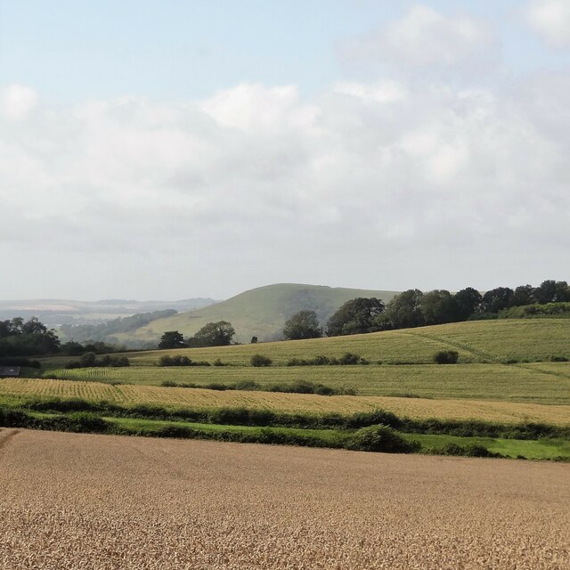
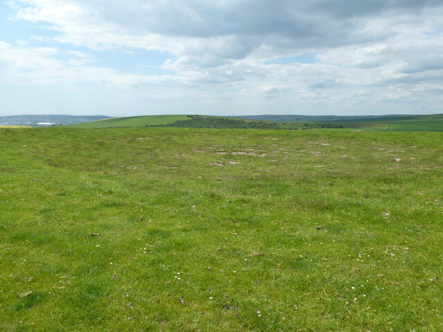
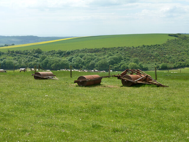
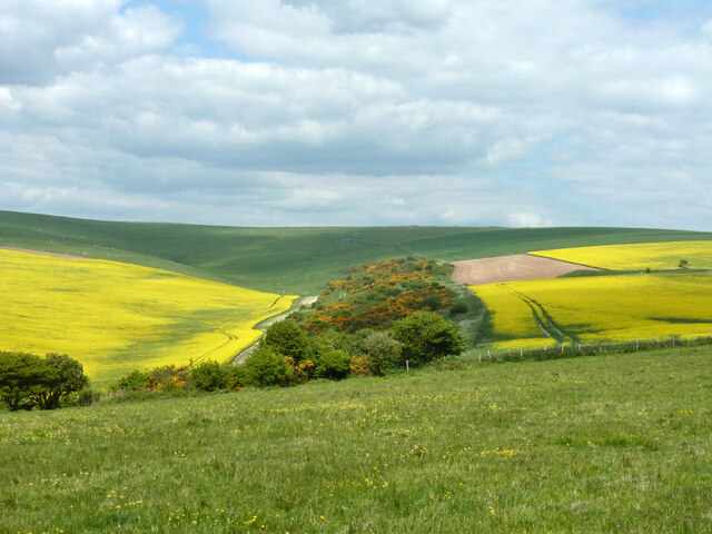
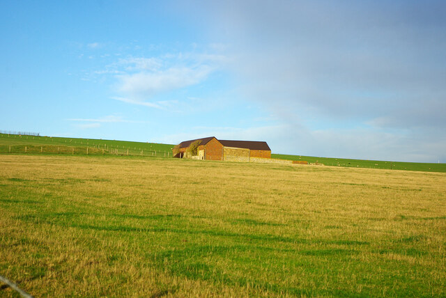
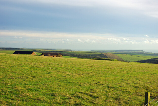
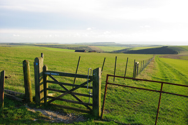
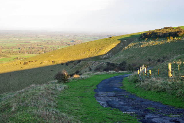
Firle Plantation, located in Sussex, England, is a picturesque woodland that spans over a vast area. The plantation is renowned for its rich history, scenic beauty, and diverse wildlife. Covering approximately 1,400 acres, the woodland consists of a mix of broadleaf and coniferous trees, creating a harmonious blend of colors throughout the seasons.
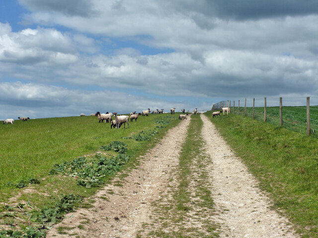
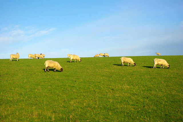
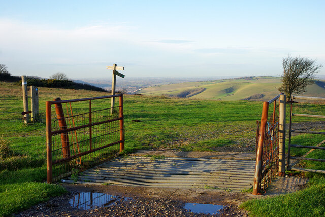
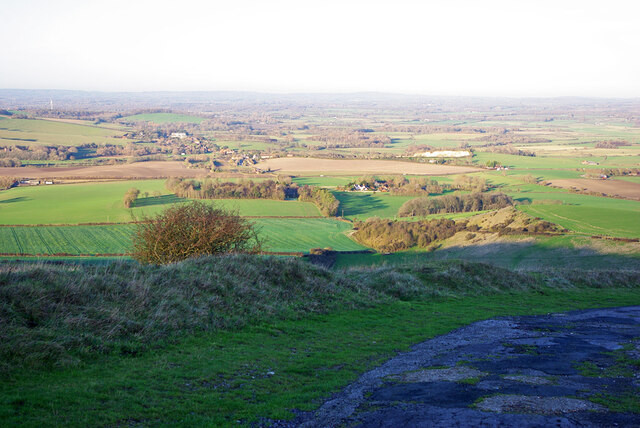
The plantation is a popular destination for nature enthusiasts and outdoor enthusiasts alike. Its well-maintained network of walking trails allows visitors to explore the woodland at their own pace. Along these trails, one can witness the abundance of flora and fauna that call Firle Plantation their home. Be it the majestic oak trees, vibrant bluebells in the spring, or the occasional sighting of deer and various bird species, there is always something to marvel at.
Apart from its natural beauty, Firle Plantation is also of historical significance. It has been under the ownership of the Gage family since the 15th century, and they have diligently managed and preserved the woodland for generations. The Gage family has implemented sustainable forestry practices, ensuring the long-term health and vitality of the plantation.
For those seeking a tranquil retreat, Firle Plantation offers several picnic spots and benches strategically placed throughout the woodland, providing visitors with a chance to relax and soak in the peaceful ambiance. Additionally, the plantation hosts various events throughout the year, including guided walks and educational programs, further enhancing visitors' experience and knowledge of the woodland.
In summary, Firle Plantation in Sussex is a captivating woodland that offers a blend of natural beauty, rich history, and recreational opportunities. With its diverse ecosystem and well-maintained trails, it has become a cherished destination for nature lovers and history enthusiasts alike.
If you have any feedback on the listing, please let us know in the comments section below.
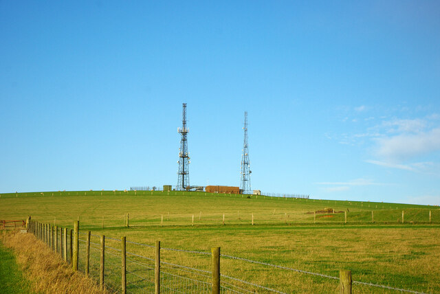
Firle Plantation Images
Images are sourced within 2km of 50.83731/0.091081876 or Grid Reference TQ4706. Thanks to Geograph Open Source API. All images are credited.
Firle Plantation is located at Grid Ref: TQ4706 (Lat: 50.83731, Lng: 0.091081876)
Administrative County: East Sussex
District: Lewes
Police Authority: Sussex
What 3 Words
///identify.removable.darting. Near Newhaven, East Sussex
Nearby Locations
Related Wikis

Firle Escarpment
Firle Escarpment is a 302.1-hectare (747-acre) biological Site of Special Scientific Interest north of Seaford in East Sussex.This is a long stretch of...
Firle Beacon
Firle Beacon is a hill in the South Downs of southern England. It is 217 metres high and is a Marilyn. It commands a far-reaching view. When the prevailing...
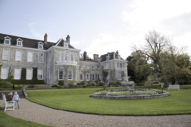
Firle Place
Firle Place is a Manor house in Firle, Sussex, United Kingdom. The Gage family have owned the land at Firle since acquiring it from the Levett family in...

Charleston Farmhouse
Charleston, in East Sussex, is a property associated with the Bloomsbury group, that is open to the public. It was the country home of Vanessa Bell and...

Firle
Firle (; Sussex dialect: Furrel ) is a village and civil parish in the Lewes district of East Sussex, England. Firle refers to an old-English/Anglo-Saxon...

Firle Hill Climb
Firle Hill Climb is a disused hillclimbing course near Lewes, East Sussex, England, sometimes referred to as Bo Peep Hill Climb. The event was celebrated...
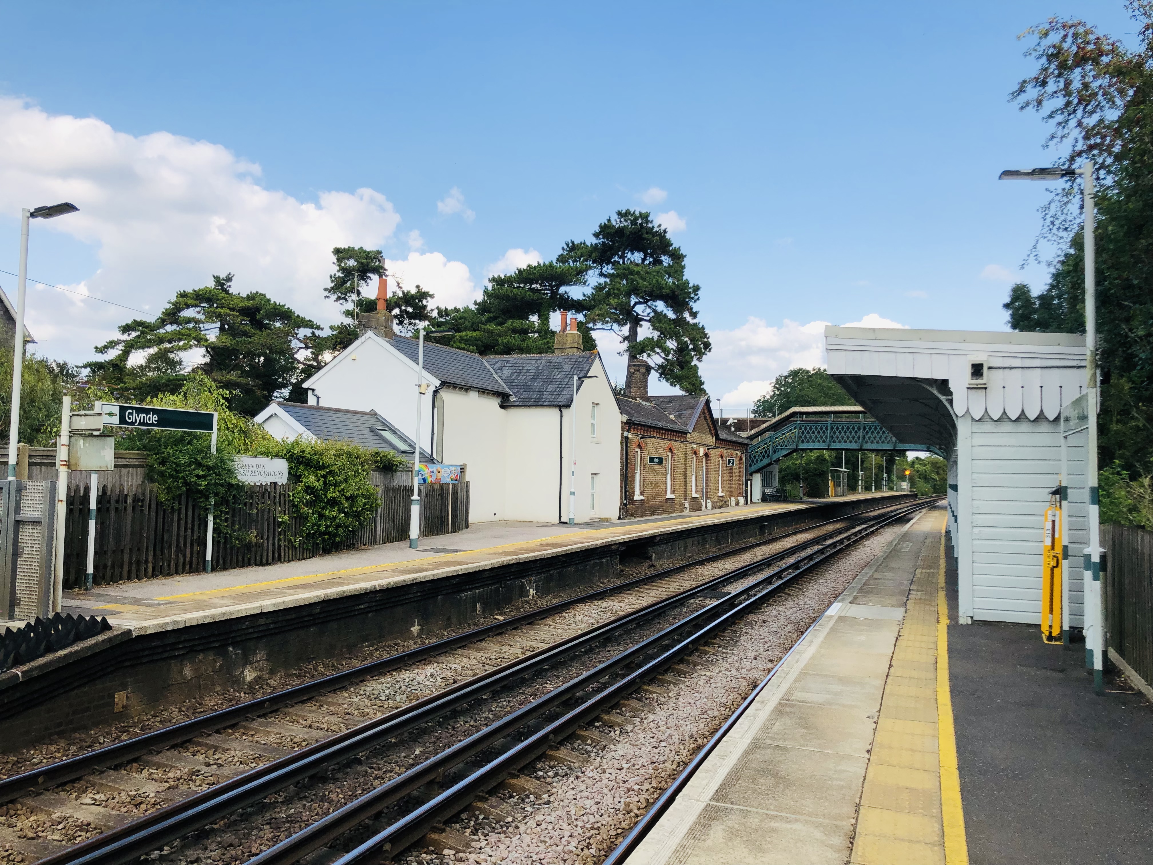
Glynde railway station
Glynde railway station serves Glynde in East Sussex. It is 53 miles 11 chains (85.5 km) from London Bridge, on the East Coastway Line and train services...

Glynde and Beddingham
Glynde and Beddingham Parish Council is a combined council of two civil parishes in the Lewes district of East Sussex. == Glynde == == Beddingham... ==
Nearby Amenities
Located within 500m of 50.83731,0.091081876Have you been to Firle Plantation?
Leave your review of Firle Plantation below (or comments, questions and feedback).