Hawfield Wood
Wood, Forest in Kent Sevenoaks
England
Hawfield Wood
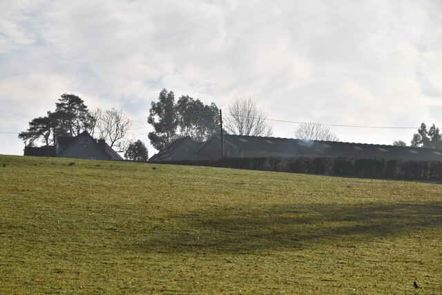
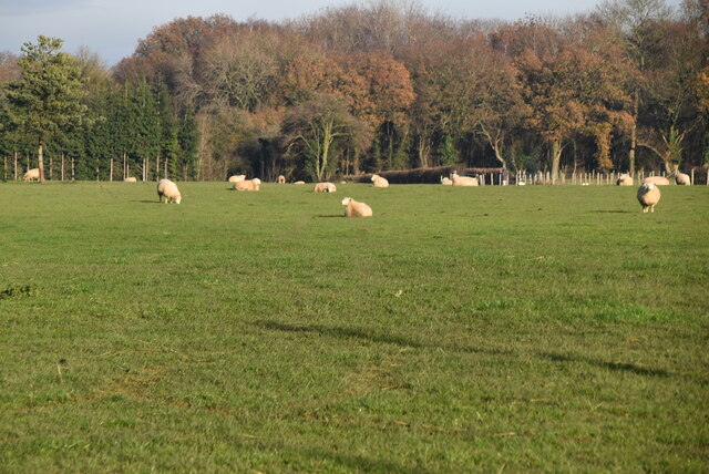
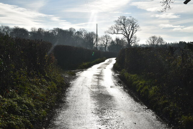
Hawfield Wood, located in the county of Kent, England, is a beautiful and serene woodland area that covers an approximate area of 100 acres. This woodland, often referred to as Hawfield Forest, is a remarkable natural asset in the region. It is situated near the village of Hawfield, surrounded by picturesque countryside and rolling hills.
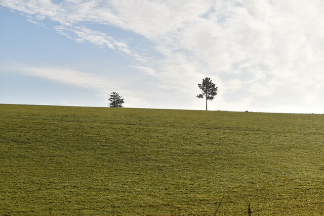
The wood is known for its diverse range of flora and fauna, making it a haven for nature enthusiasts and wildlife lovers. The dense forest consists of a variety of tree species, including oak, beech, and ash, which provide a dense canopy and a tranquil atmosphere. The forest floor is blanketed with vibrant wildflowers, ferns, and mosses, creating a stunning visual display.
Hawfield Wood is home to a plethora of wildlife, including a wide array of birds, small mammals, and insects. Birdwatchers can spot species such as woodpeckers, owls, and various woodland songbirds. The wood is also inhabited by foxes, rabbits, badgers, and deer, adding to its natural charm.
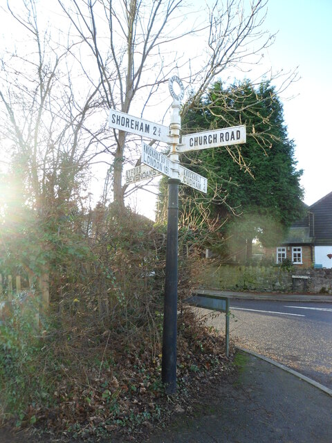
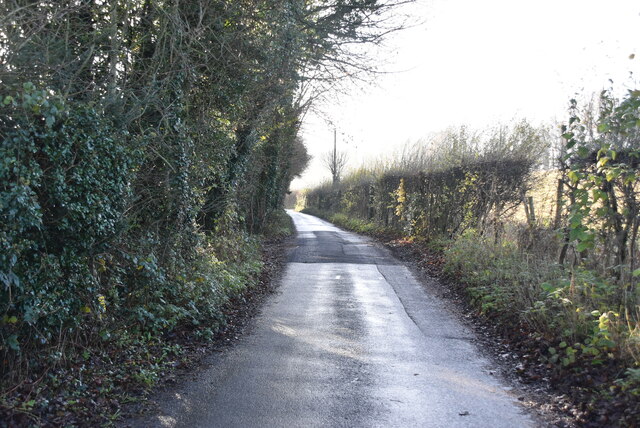
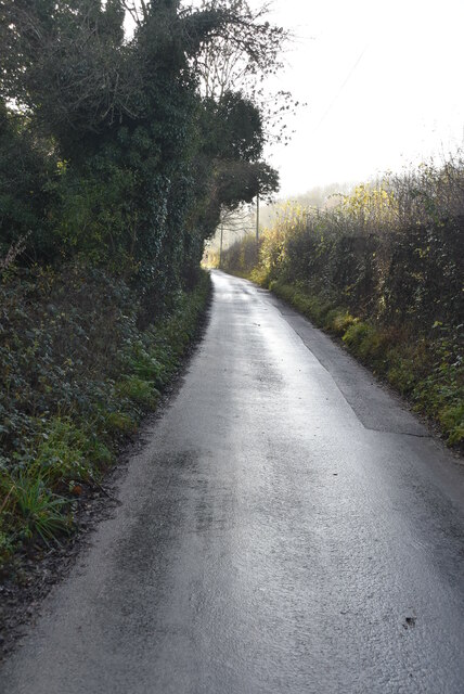
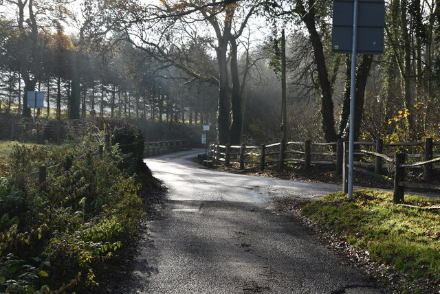
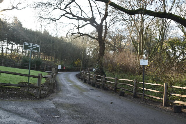
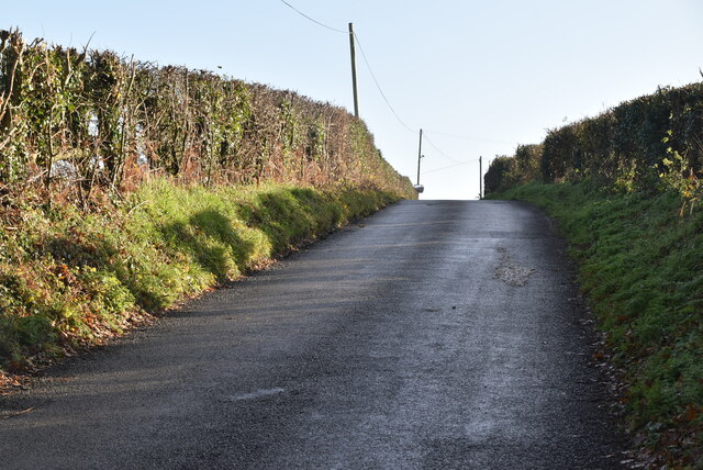
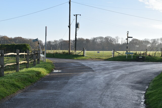
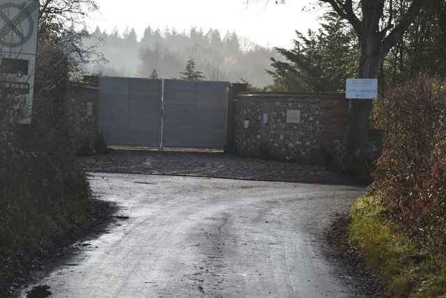
The wood offers several walking trails and footpaths, allowing visitors to explore its natural beauty at their leisure. These paths wind through the forest, offering stunning views of the landscape and providing opportunities for peaceful walks and picnics. The wood is well-maintained, with clear signage and facilities for visitors to enjoy their time in this tranquil setting.
Hawfield Wood, Kent, is a true gem in the region, offering a peaceful escape from the hustle and bustle of everyday life. Its natural beauty, diverse wildlife, and well-maintained trails make it an ideal destination for nature lovers and those seeking a serene woodland experience.
If you have any feedback on the listing, please let us know in the comments section below.
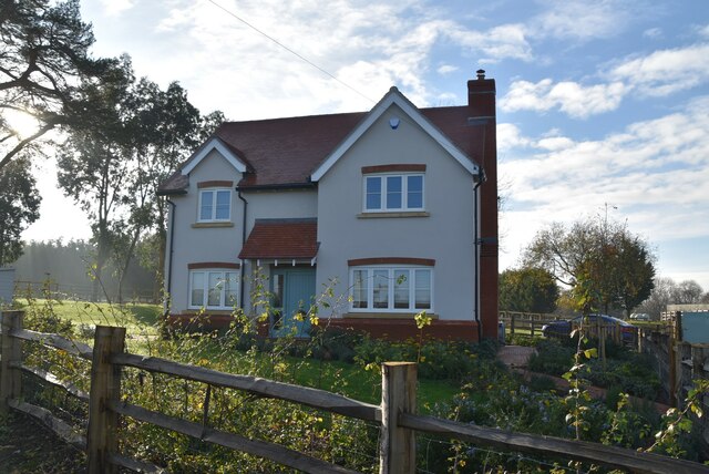
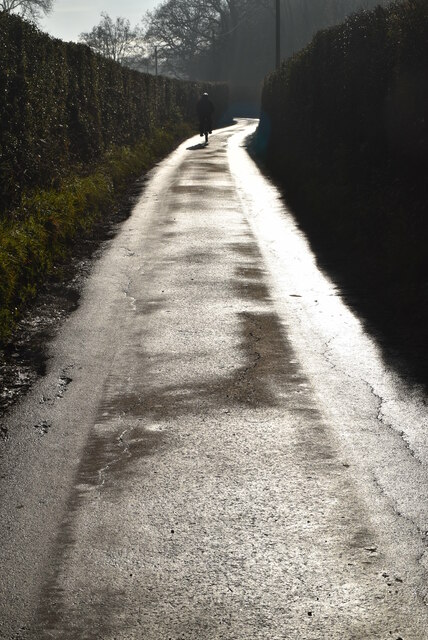
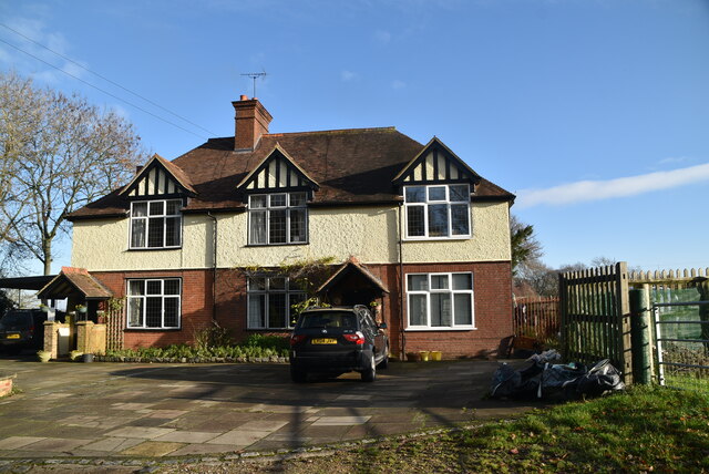
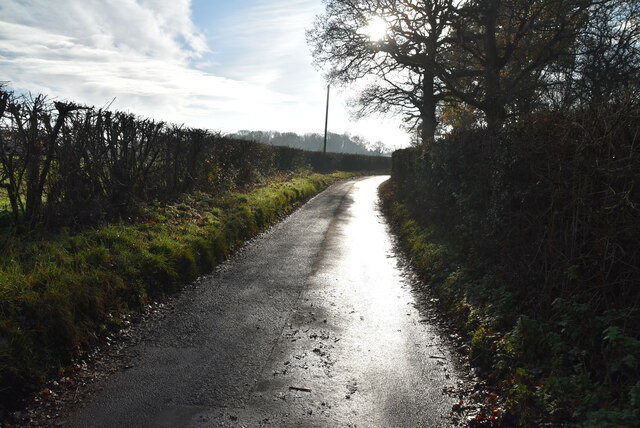
Hawfield Wood Images
Images are sourced within 2km of 51.319961/0.11291559 or Grid Reference TQ4759. Thanks to Geograph Open Source API. All images are credited.
Hawfield Wood is located at Grid Ref: TQ4759 (Lat: 51.319961, Lng: 0.11291559)
Administrative County: Kent
District: Sevenoaks
Police Authority: Kent
What 3 Words
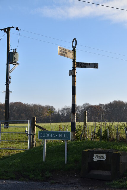
///tunes.slime.asks. Near Sundridge, Kent
Nearby Locations
Related Wikis

St Katharine's Church, Knockholt
St Katharine's Church is an Anglican parish church in the village of Knockholt and the Sevenoaks deanery. St Katharine's and St Margaret's came together...

Knockholt
Knockholt is a village and civil parish in the Sevenoaks District of Kent, England. It is located 5 mi (8 km) north west of Sevenoaks & 5.7 mi (9.2 km...

St Margaret's Church, Halstead
St Margaret's Church is an Anglican parish church in the village of Halstead and the Sevenoaks deanery, although the church also serves the village of...
Halstead, Kent
Halstead is a village and civil parish in the Sevenoaks District of Kent, England. It is located 4.7 miles south east of Orpington & 6.1 miles north west...

Pratt's Bottom
Pratt's Bottom is a village in Greater London, England, within the London Borough of Bromley and, prior to 1965, within the historic county of Kent. It...

London Borough of Bromley
The London Borough of Bromley ( ) is the largest and southeasternmost of the London boroughs that make up Greater London, bordering the county of Kent...
Horns Green
Horns Green is an area in the London Borough of Bromley located to the south of Cudham near the boundary with Kent. == References ==
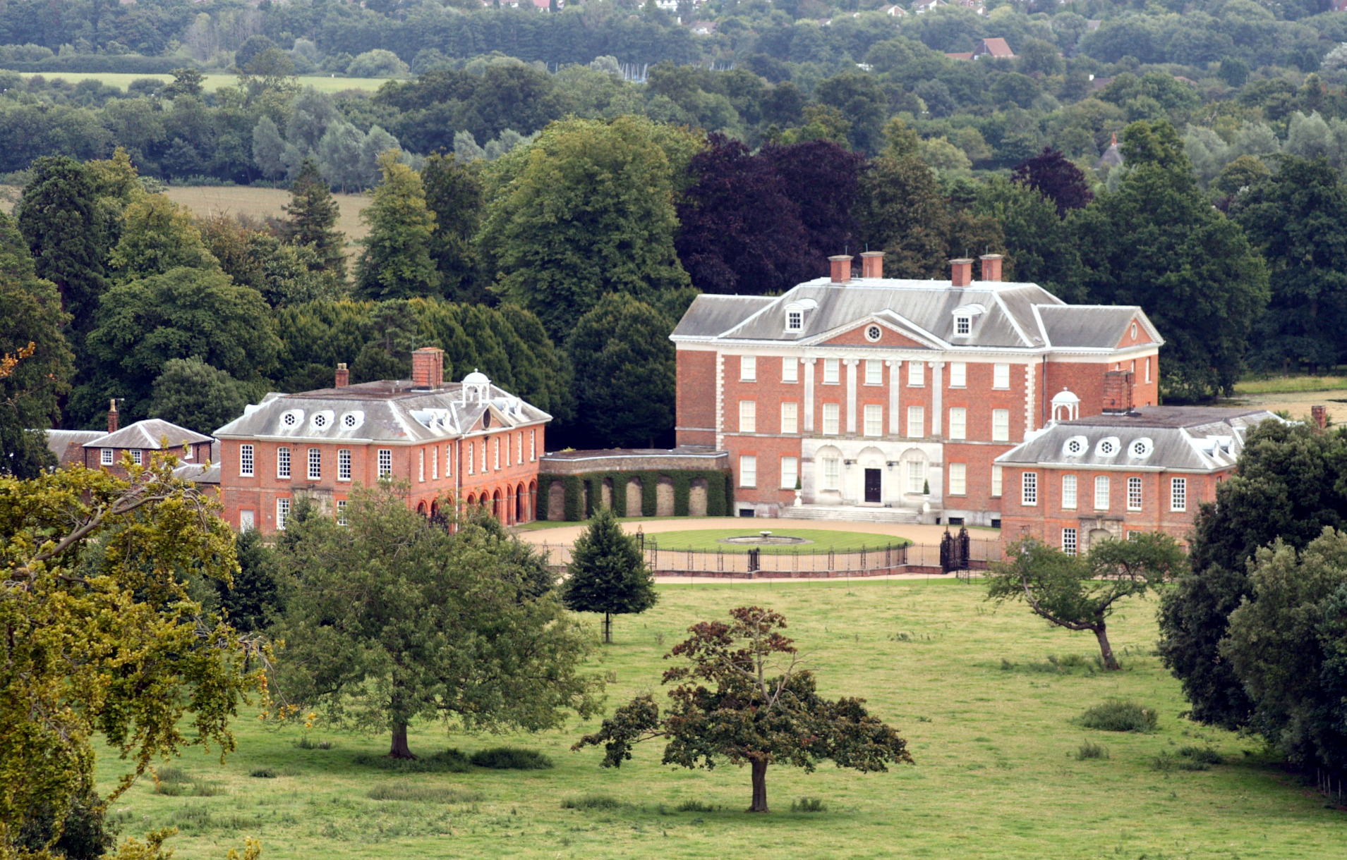
Chevening
Chevening House () is a large country house in the parish of Chevening in Kent, England. Built between 1617 and 1630 to a design reputedly by Inigo Jones...
Nearby Amenities
Located within 500m of 51.319961,0.11291559Have you been to Hawfield Wood?
Leave your review of Hawfield Wood below (or comments, questions and feedback).