Verrall's Wood
Wood, Forest in Sussex Wealden
England
Verrall's Wood
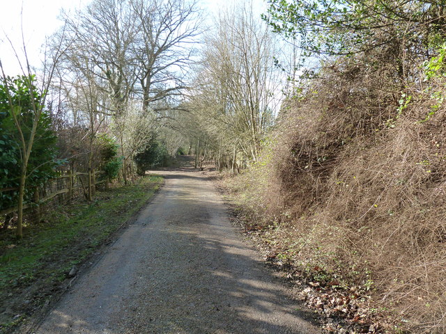
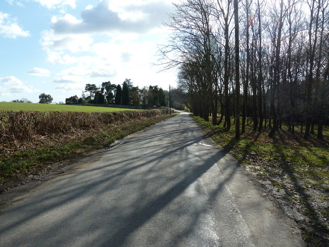
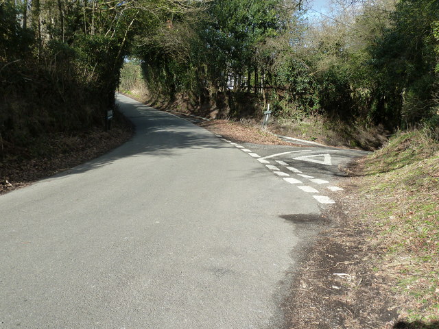
Verrall's Wood is a picturesque forest located in Sussex, England. Covering an area of approximately 100 hectares, this woodland is renowned for its natural beauty and diverse flora and fauna. The wood is named after the Verrall family, who owned and managed the land for several generations.
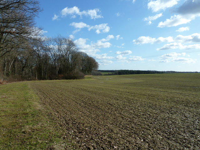
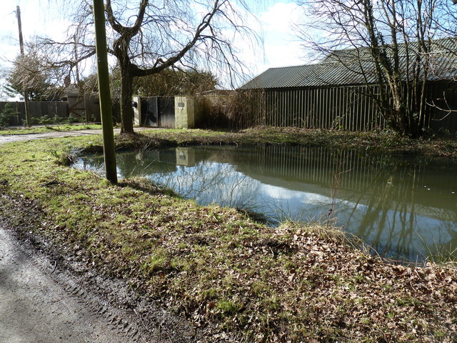
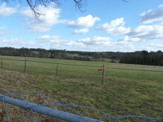
The forest is characterized by a mix of deciduous and coniferous trees, creating a unique and enchanting atmosphere. Ancient oak and beech trees dominate the landscape, providing a rich habitat for a wide range of wildlife. Visitors to Verrall's Wood can expect to see various bird species, including woodpeckers, owls, and songbirds, as well as small mammals like squirrels, rabbits, and foxes.
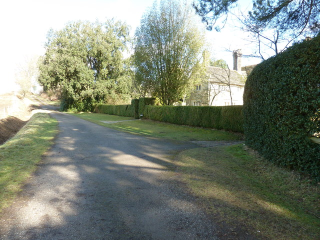
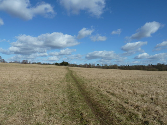
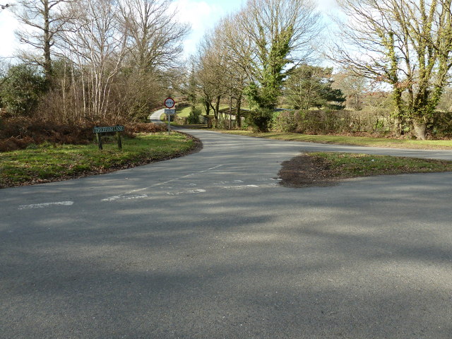
The wood is crisscrossed with well-maintained walking trails, allowing visitors to explore the area and appreciate its natural wonders. These paths lead to secluded clearings, where visitors can enjoy a peaceful picnic or simply immerse themselves in the tranquil surroundings. In spring, the forest comes alive with vibrant wildflowers, creating a stunning display of colors.
Verrall's Wood is also of historical importance, with evidence of human activity dating back to prehistoric times. Archaeological finds have included ancient tools and pottery fragments, providing insight into the lives of early settlers in the area.
Overall, Verrall's Wood is a haven of natural beauty and tranquility, offering visitors a chance to escape the hustle and bustle of everyday life and connect with nature.
If you have any feedback on the listing, please let us know in the comments section below.
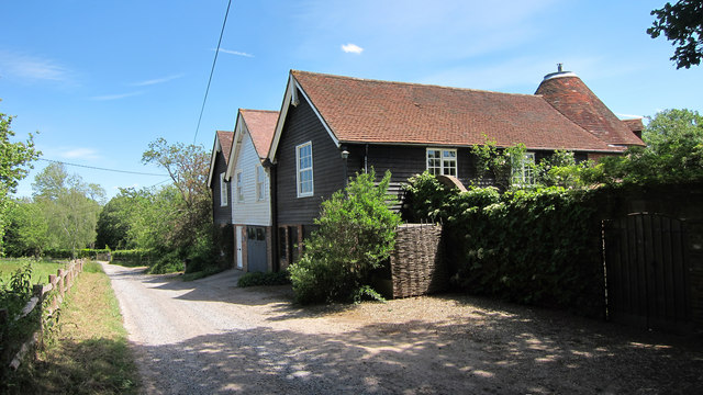
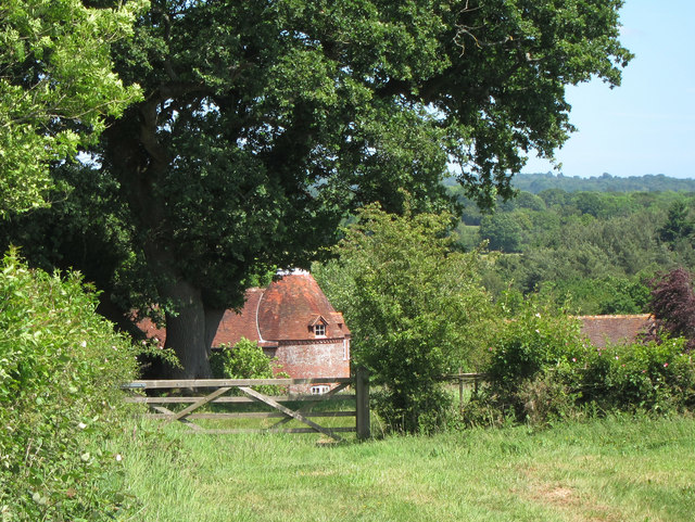
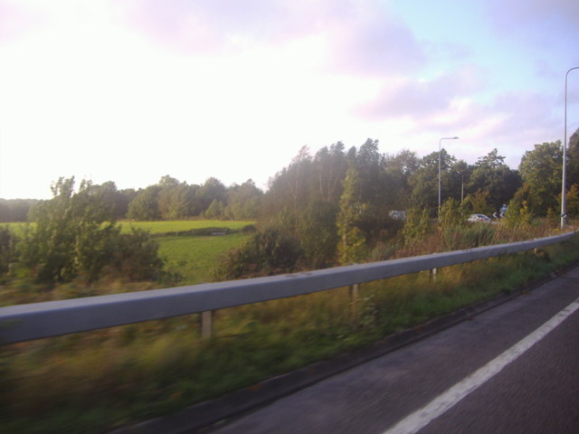
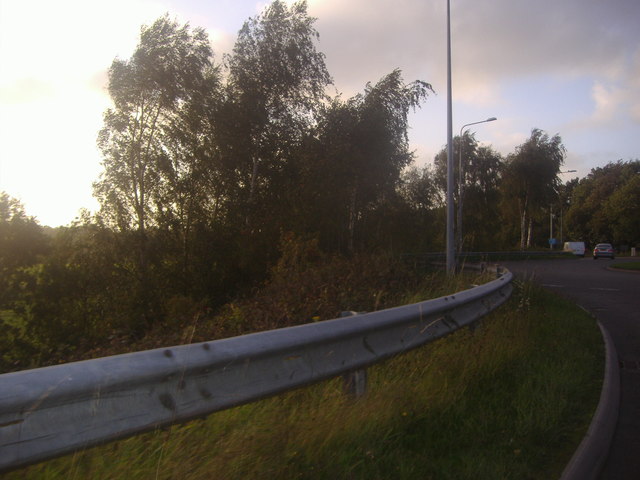
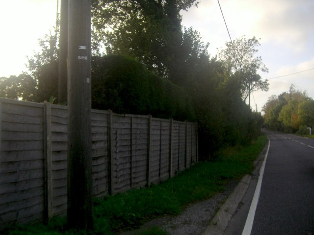
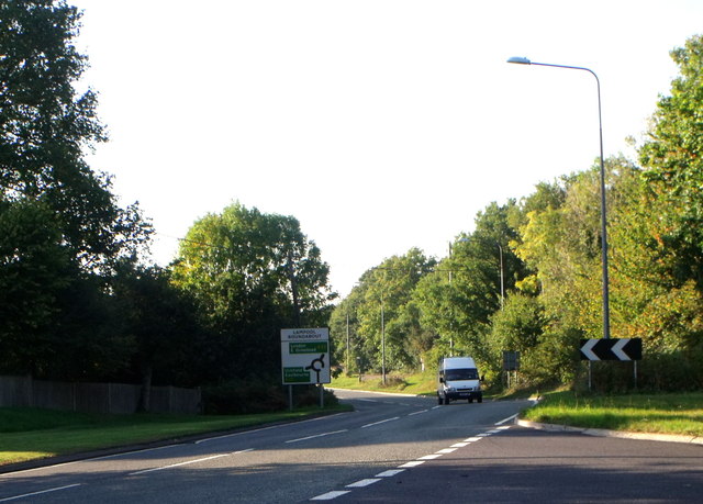
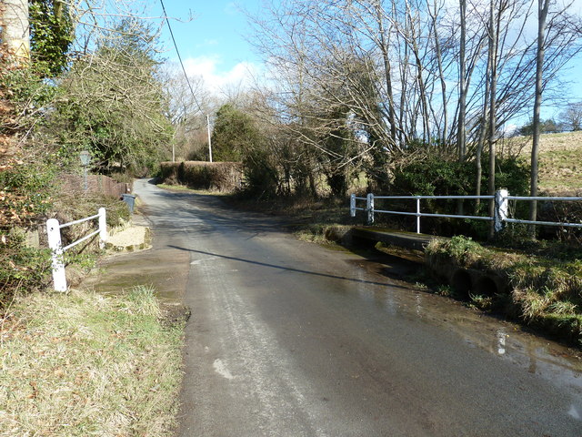
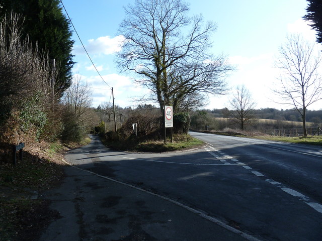
Verrall's Wood Images
Images are sourced within 2km of 51.007349/0.054715026 or Grid Reference TQ4425. Thanks to Geograph Open Source API. All images are credited.

Verrall's Wood is located at Grid Ref: TQ4425 (Lat: 51.007349, Lng: 0.054715026)
Administrative County: East Sussex
District: Wealden
Police Authority: Sussex
What 3 Words
///disarmed.scratches.devalued. Near Newick, East Sussex
Nearby Locations
Related Wikis

Piltdown Man
The Piltdown Man was a paleoanthropological fraud in which bone fragments were presented as the fossilised remains of a previously unknown early human...

Sheffield Park cricket ground
Sheffield Park is a cricket ground at the Sheffield Park estate, located near Uckfield, East Sussex, England. From 1881 to 1896 it was the home ground...

Fletching, East Sussex
Fletching is a village and civil parish in the Wealden District of East Sussex, England. It is located three miles (4.8 km) to the north-west of Uckfield...

Maresfield
Maresfield is a village and civil parish in the Wealden District of East Sussex, England. The village itself lies 1.5 miles (2.4 km) north from Uckfield...

A.F.C. Uckfield Town
A.F.C. Uckfield Town is a community football club based in Uckfield, East Sussex, England. They are currently members of the Southern Combination Premier...
A.F.C. Uckfield
Association Football Club Uckfield was a football club based in Uckfield, East Sussex, England. == History == The club was formed in 1988 as Wealden Football...

Nutley, East Sussex
Nutley is a village in the Wealden District of East Sussex, England. It lies about 5 mi (8.0 km) north-west of Uckfield, the main road being the A22. Nutley...

Piltdown
Piltdown is a series of hamlets in East Sussex, England, located south of Ashdown Forest. It is best known for the Piltdown Man hoax where amateur archaeologist...
Nearby Amenities
Located within 500m of 51.007349,0.054715026Have you been to Verrall's Wood?
Leave your review of Verrall's Wood below (or comments, questions and feedback).