Craggy Wood

Wood, Forest in Northumberland

England

Craggy Wood

Railway Embankment, Spittal the embankment is for the main line south (Edinburgh to London Kings Cross)
Railway Embankment, Spittal Credit: Kirsty Smith

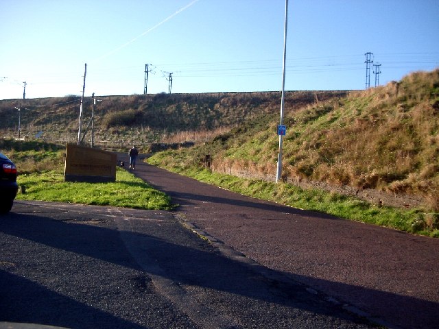
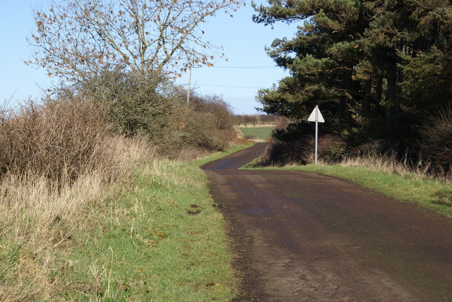
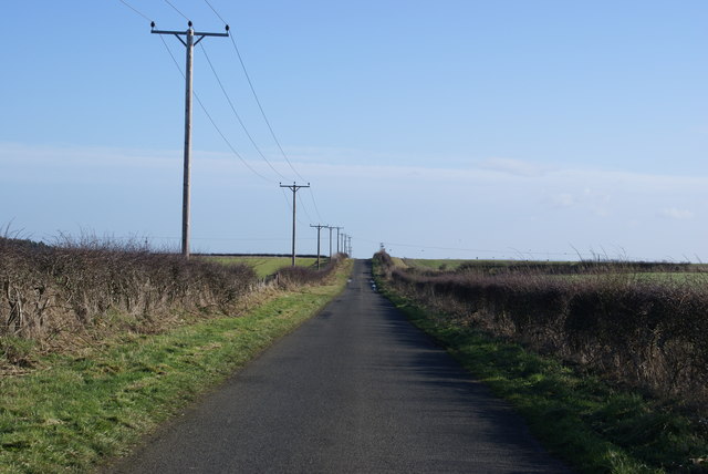
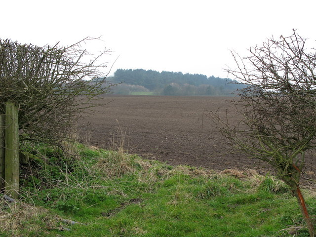
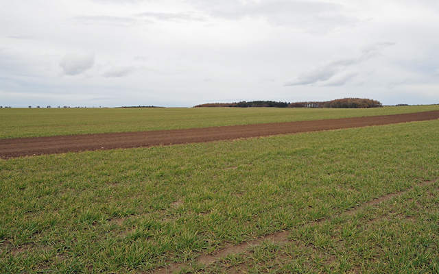
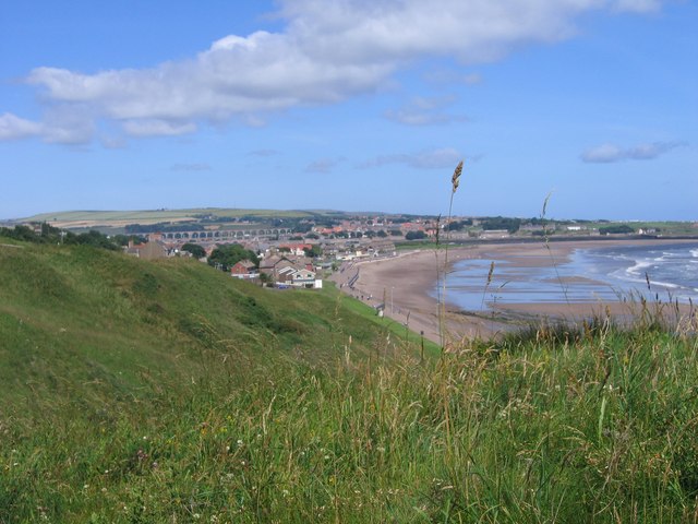
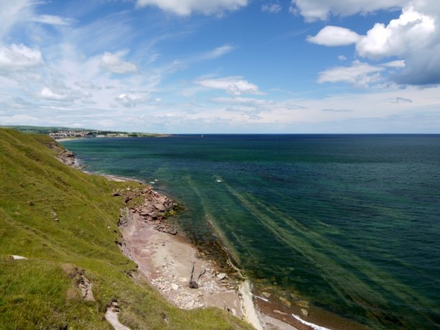
Craggy Wood, located in the picturesque county of Northumberland in northern England, is a captivating forest that offers visitors a unique and breathtaking experience. Stretching over an area of approximately 100 hectares, this woodland paradise is renowned for its rugged beauty and diverse flora and fauna.

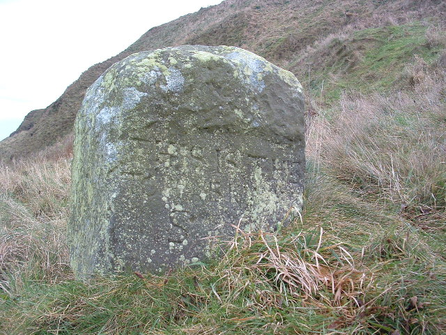
As its name suggests, Craggy Wood is characterized by its rocky terrain, featuring an assortment of weathered cliffs and boulders scattered across the landscape. These rocky formations, formed over centuries of erosion, add a dramatic element to the woodland scenery, making it a popular destination for photographers and nature enthusiasts.

The forest is primarily composed of deciduous and coniferous trees, creating a rich tapestry of colors throughout the seasons. In spring, the forest floor comes alive with vibrant wildflowers, while in autumn, the trees transform into a stunning array of red, orange, and gold hues. The wood is home to a variety of tree species, including oak, beech, birch, and pine, providing a habitat for numerous birds, mammals, and insects.

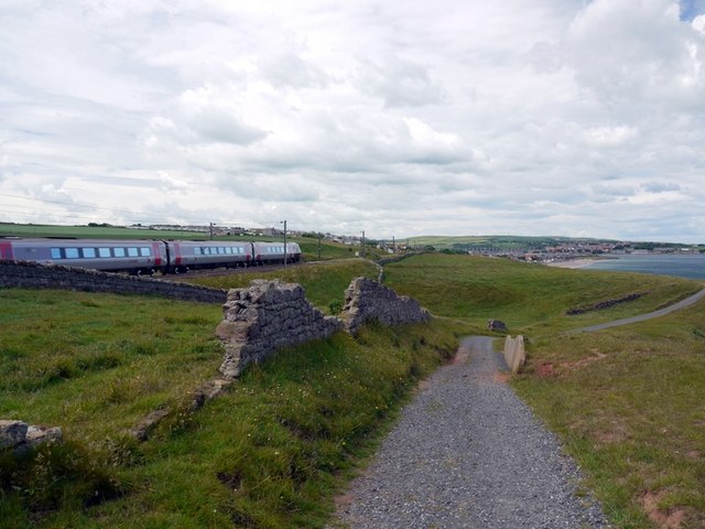
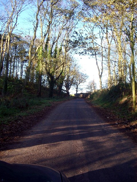
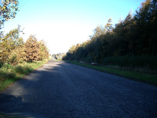
Several well-maintained trails wind their way through Craggy Wood, offering visitors the opportunity to explore its natural wonders at their own pace. These paths cater to different fitness levels and interests, from short leisurely walks to more challenging hikes that lead to panoramic viewpoints overlooking the surrounding rolling hills and valleys.

Craggy Wood is not only a haven for nature lovers but also a place of tranquility and solace. Its secluded location and unspoiled beauty make it an ideal spot for those seeking to escape the hustle and bustle of everyday life and immerse themselves in the wonders of the natural world.

If you have any feedback on the listing, please let us know in the comments section below.
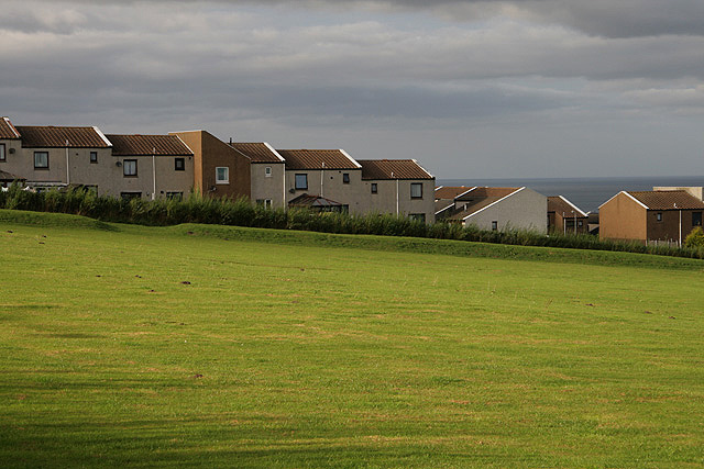
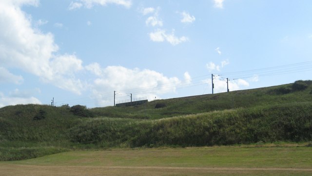
Craggy Wood Images

Images are sourced within 2km of 55.736428/-2.0022513 or Grid Reference NT9949. Thanks to Geograph Open Source API. All images are credited.

Railway Embankment, Spittal the embankment is for the main line south (Edinburgh to London Kings Cross)
Railway Embankment, Spittal
the embankment is for the main line south (Edinburgh to London Kings Cross)
Boundary Stone "This is the Boundary Stone" is the inscription roughly carved. There may be more below the grass line but I couldn't really tell. The OS has the name "Toppye Knowe" across its position so maybe that is what it is called.
Boundary Stone
"This is the Boundary Stone" is the inscription roughly carved. There may be more below the grass line but I couldn't really tell. The OS has the name "Toppye Knowe" across its position so maybe that is what it is called.
Hud's Head The fishing shiel that once stood beside "The Boundary Stone" was known as Huds Head Shiel. It, Huds Head, stand slightly higher than the Bears Head but both are usually covered at high tide.
Hud's Head
The fishing shiel that once stood beside "The Boundary Stone" was known as Huds Head Shiel. It, Huds Head, stand slightly higher than the Bears Head but both are usually covered at high tide.
Billylaw Farm An exposed site on the hilltop, but no roadside name sign. I'm sure the farm will look much more inviting on a sunny day.
Billylaw Farm
An exposed site on the hilltop, but no roadside name sign. I'm sure the farm will look much more inviting on a sunny day.
Road at Unthank
Road at Unthank
Roadside Powerlines Although taken for granted, these three-phase cables do much to visually impair the view.
Roadside Powerlines
Although taken for granted, these three-phase cables do much to visually impair the view.
Heathery Tops Newly ploughed field, view towards Catchlaw Crag over the A1 near Scremerston.
Heathery Tops
Newly ploughed field, view towards Catchlaw Crag over the A1 near Scremerston.
Farmland with Camp Wood in the Distance
View along coast north to Spittal and Berwick
Redshin Cove North-north westerly trending bands of limestone are exposed at low tide. View towards Berwick-upon-Tweed.
Redshin Cove
North-north westerly trending bands of limestone are exposed at low tide. View towards Berwick-upon-Tweed.
Train on the main-line to Berwick-upon-Tweed The track in the foreground is an of-road section of Sustrans National Cycle Route 1, also known as the Coast and Castles between Edinburgh and Newcastle <span class="nowrap"><a title="http://www.sustrans.org.uk/ncn/map/route/coast-and-castles-south" rel="nofollow ugc noopener" href="http://www.sustrans.org.uk/ncn/map/route/coast-and-castles-south">Link</a><img style="margin-left:2px;" alt="External link" title="External link - shift click to open in new window" src="https://s1.geograph.org.uk/img/external.png" width="10" height="10"/></span>
Train on the main-line to Berwick-upon-Tweed
The track in the foreground is an of-road section of Sustrans National Cycle Route 1, also known as the Coast and Castles between Edinburgh and Newcastle LinkExternal link
A World War Two lookout post This concrete and brick relic dating back to the Second World War is situated in farmland overlooking the North Sea.
A World War Two lookout post
This concrete and brick relic dating back to the Second World War is situated in farmland overlooking the North Sea.
Northumberland farmland Viewed from the public footpath to Cow Road with an old lookout post at the high point of the field <a href="https://www.geograph.org.uk/photo/1508311">NU0050 : A World War Two lookout post</a>.
Northumberland farmland
Viewed from the public footpath to Cow Road with an old lookout post at the high point of the field NU0050 : A World War Two lookout post.
Housing at Highcliffe Modern houses at the southeast edge of Highcliffe near Berwick upon Tweed, viewed from Cow Road.
Housing at Highcliffe
Modern houses at the southeast edge of Highcliffe near Berwick upon Tweed, viewed from Cow Road.
The railway embankment at Spittal near Berwick The main east coast line.
The railway embankment at Spittal near Berwick
The main east coast line.
Marshalls, Outdoor Clothing Retailer
Wood between Windyridge and Borewell on the road from Scremeston to Cocklaw Beach
Wood between Windyridge and Borewell
on the road from Scremeston to Cocklaw Beach
Layby south of Scremerston (part of old road) Nightmare conditions with the dark wood and the bright sun, so sorry, not as good as it would be if I had a better camera
Layby south of Scremerston (part of old road)
Nightmare conditions with the dark wood and the bright sun, so sorry, not as good as it would be if I had a better camera
Show me another place!

Craggy Wood is located at Grid Ref: NT9949 (Lat: 55.736428, Lng: -2.0022513)

Unitary Authority: Northumberland

Police Authority: Northumbria

What 3 Words

///films.soonest.centuries. Near Berwick-Upon-Tweed, Northumberland

Related Wikis

Scremerston

Scremerston is a village in Northumberland, England. The village lies on the North Sea coast just under 2.5 miles (4 km) south of Berwick-upon-Tweed and...

Scremerston railway station

Scremerston railway station served the village of Scremerston, Northumberland, England from 1847 to 1951 on the East Coast Main Line. == History == The...

Berwick Academy, Berwick-upon-Tweed

Berwick Academy (formerly Berwick Community High School) is a coeducational upper school and sixth form located in Berwick-upon-Tweed in the English county...

Spittal, Northumberland

Spittal is a village in northern Northumberland, England. It is part of Berwick-upon-Tweed and is situated on the coast to the east of Tweedmouth. Spittal...

Ord, Northumberland

Ord is a civil parish in Northumberland, England. According to the 2001 census it had a population 1,365, increasing slightly to 1,374 at the 2011 Census...

East Ord

East Ord is a village in Northumberland, England about 2 miles (3 km) south west of Berwick Upon Tweed. It lies on the south bank of the River Tweed adjacent...

Shielfield Park

Shielfield Park is a football stadium that is home to Berwick Rangers and Berwick Bandits speedway team. Although Berwick Rangers is a Scottish Lowland...

Tweedmouth railway station

Tweedmouth railway station was a railway station which served the Tweedmouth area of Berwick-on-Tweed in Northumberland, England. It was located on the...

Have you been to Craggy Wood?

Leave your review of Craggy Wood below (or comments, questions and feedback).