Upper Roughs
Wood, Forest in Worcestershire Wychavon
England
Upper Roughs
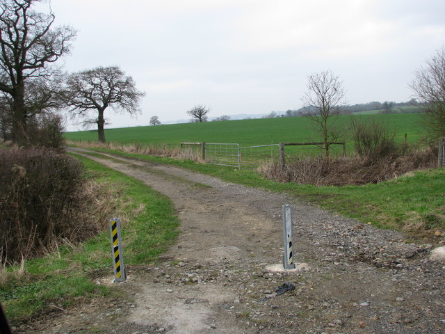
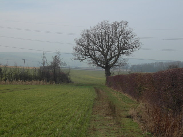
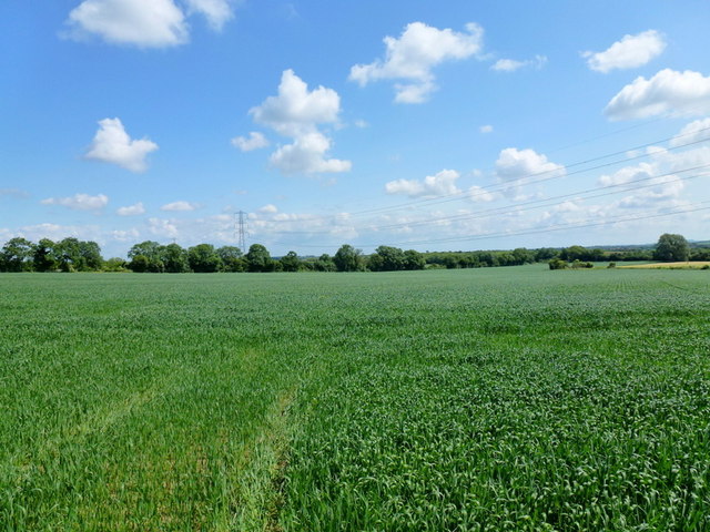
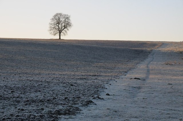
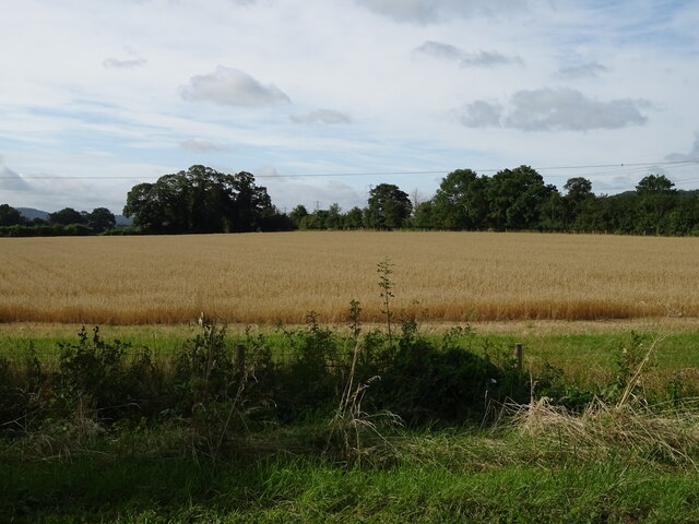
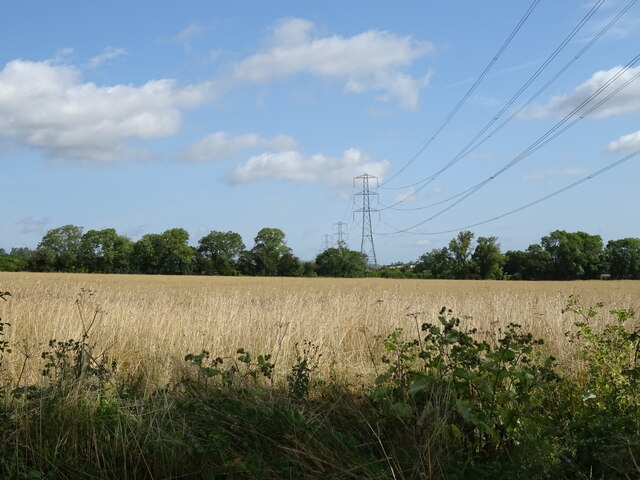
Upper Roughs is a small wood located in the county of Worcestershire, England. Situated in the northern part of the county, it forms part of the wider Forest of Worcestershire. The wood covers an area of approximately 50 acres and is known for its diverse range of flora and fauna.
The wood is primarily composed of deciduous trees such as oak, birch, and beech, which create a dense canopy and provide a habitat for various woodland creatures. The forest floor is covered in a thick layer of leaf litter, creating a natural carpet and supporting a variety of plant species, including bluebells, primroses, and wild garlic.
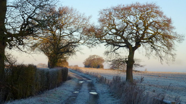
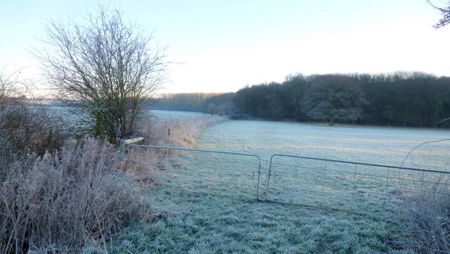
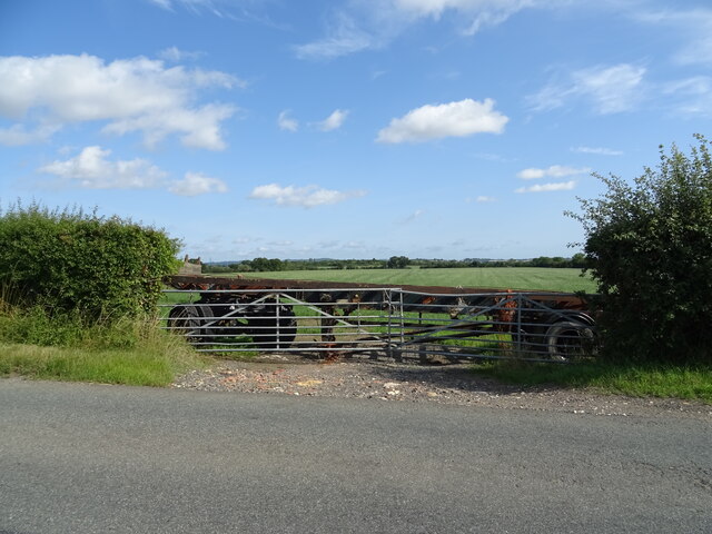
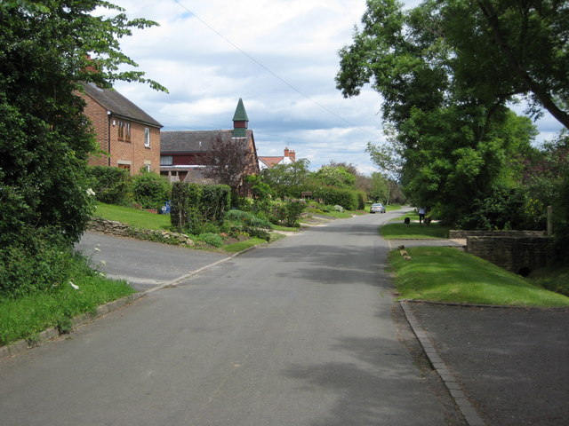
Upper Roughs is a popular destination for nature enthusiasts and walkers who enjoy exploring its tranquil surroundings. The wood is crisscrossed by numerous footpaths and trails, allowing visitors to discover its hidden corners and enjoy the beauty of the natural environment.
The wood is also home to a diverse range of wildlife. Birdwatchers can spot species such as woodpeckers, nuthatches, and tawny owls, while mammals like foxes, badgers, and squirrels can be seen scurrying through the undergrowth. The wood is also a haven for butterflies and insects, attracting enthusiasts who appreciate their delicate beauty.
Upper Roughs is a place of natural beauty and tranquility, offering visitors a chance to escape the hustle and bustle of everyday life and immerse themselves in the wonders of the Worcestershire woodlands.
If you have any feedback on the listing, please let us know in the comments section below.
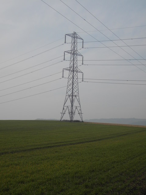
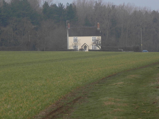
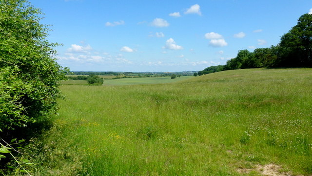
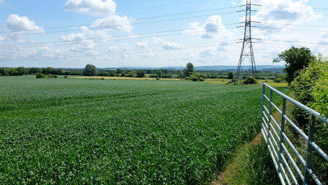
Upper Roughs Images
Images are sourced within 2km of 52.06142/-2.0021129 or Grid Reference SO9940. Thanks to Geograph Open Source API. All images are credited.
Upper Roughs is located at Grid Ref: SO9940 (Lat: 52.06142, Lng: -2.0021129)
Administrative County: Worcestershire
District: Wychavon
Police Authority: West Mercia
What 3 Words
///bossy.bloom.towel. Near Evesham, Worcestershire
Nearby Locations
Related Wikis

Kersoe
Kersoe is a hamlet in Worcestershire, England. It is at the foot of Bredon Hill an area of outstanding natural beauty.

Netherton, Worcestershire
Netherton is a hamlet with population of 50 living in 20 households. It is part of the civil parish of Elmley Castle, Bricklehampton & Netherton in...

Hinton railway station (England)
Hinton railway station was a station on the Midland Railway between Tewkesbury and Evesham, England. It opened 1 October 1864 by the Midland Railway. The...

Elmley Castle
Elmley Castle is a village and civil parish in Worcestershire, in England, United Kingdom. It is located on the north side of Bredon Hill 3 miles south...

Elmley Castle (castle)
Elmley Castle was a late 11th-century earthwork and timber castle which received stone additions in the 12th and possibly 13th centuries, located 0.5 miles...

Ashton under Hill
Ashton under Hill is a village and civil parish in the Wychavon district of Worcestershire in England. It is situated at the foot of Bredon Hill. According...

Ashton-under-Hill railway station
Ashton-under-Hill railway station was a station on the Midland Railway between Great Malvern and Evesham. It served Ashton under Hill in Worcestershire...
Bricklehampton
Bricklehampton is a village and civil parish in Worcestershire, England. In the 2021 census the population of the parish was recorded as 236. Its area...
Have you been to Upper Roughs?
Leave your review of Upper Roughs below (or comments, questions and feedback).