Calendar Plantation

Wood, Forest in Yorkshire Richmondshire

England

Calendar Plantation

Looking towards Ivy Scar Looking towards Ivy Scar from The Straights.
Looking towards Ivy Scar Credit: T Eyre

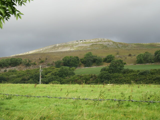
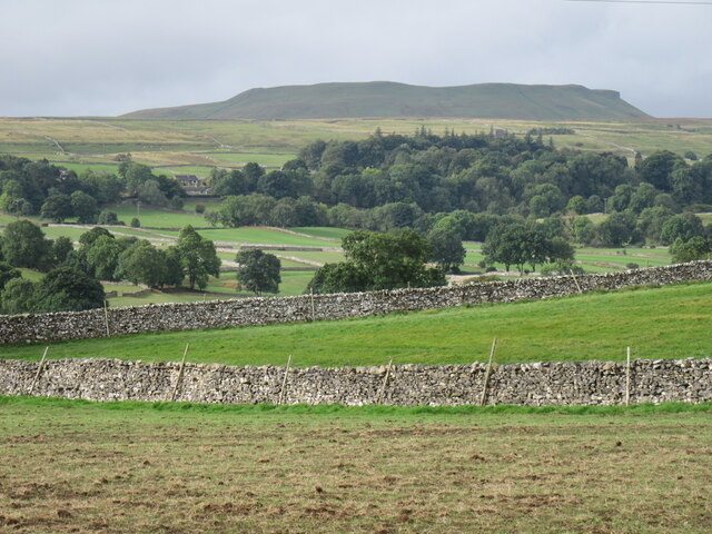
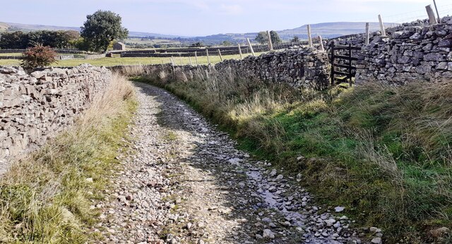
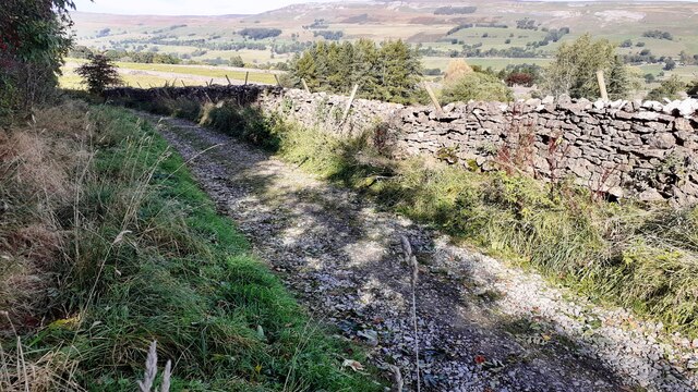
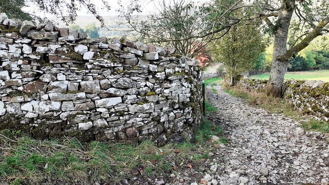
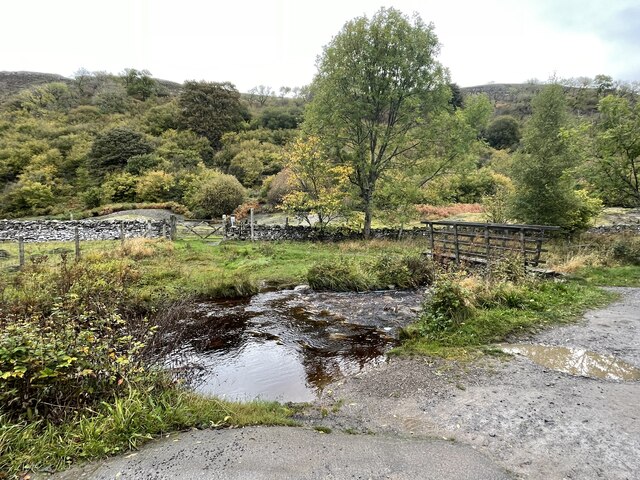
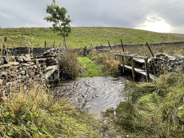
Calendar Plantation is a vast woodland area located in the picturesque region of Yorkshire, England. Covering an impressive expanse of land, it is known for its dense collection of trees and serene natural beauty. The plantation is situated in close proximity to the village of Calendar, adding to its charm and accessibility.

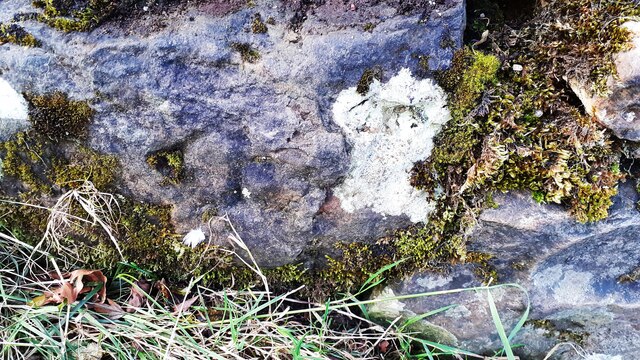
The woodland is predominantly composed of a variety of tree species, including oak, beech, and birch, which contribute to its diverse and vibrant ecosystem. The lush greenery of the plantation creates a tranquil environment, making it a popular destination for nature enthusiasts and hikers seeking a peaceful retreat.

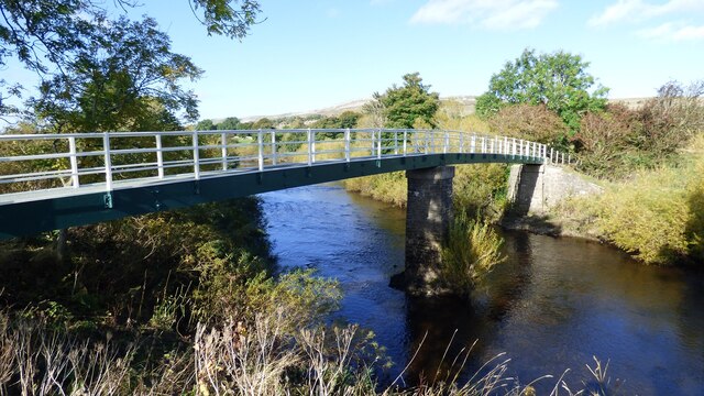
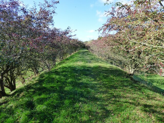
Calendar Plantation offers numerous walking trails and paths, allowing visitors to explore its enchanting landscape. The well-maintained paths wind through the trees, offering glimpses of wildlife and providing an opportunity to immerse oneself in the surrounding nature. The plantation is also home to a variety of bird species, making it a haven for birdwatchers.

In addition to its natural beauty, the plantation is historically significant, with origins dating back several centuries. It has been carefully preserved and managed, ensuring the conservation of its unique ecosystem and historical value.

Overall, Calendar Plantation in Yorkshire is a captivating woodland area that offers a blend of natural splendor and historical significance. Its vastness, diverse flora, and accessible location make it a must-visit destination for those seeking an authentic and immersive experience in the heart of Yorkshire's countryside.

If you have any feedback on the listing, please let us know in the comments section below.

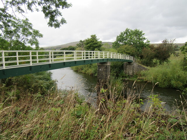
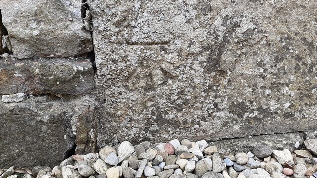
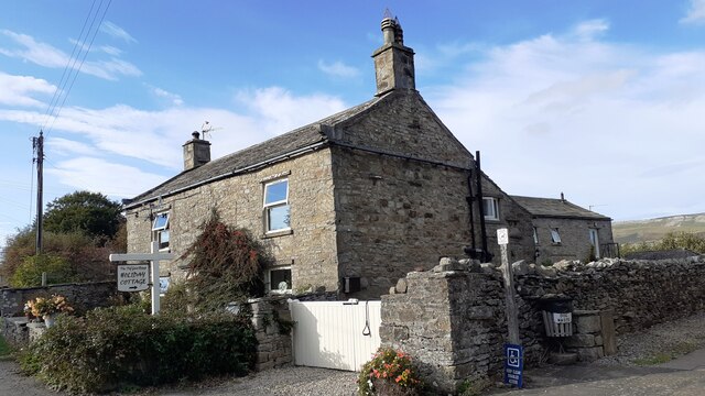
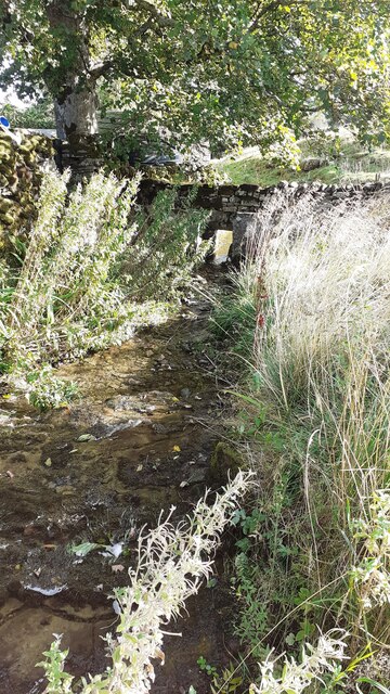
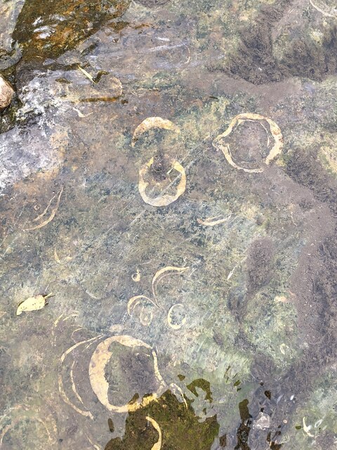
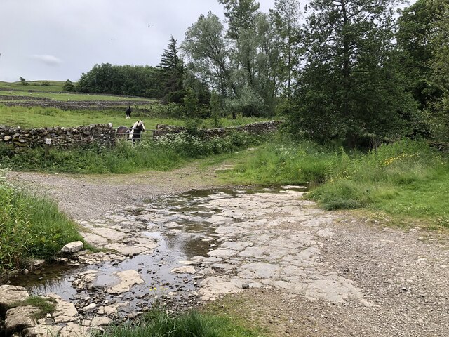
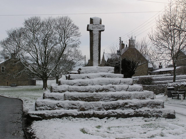
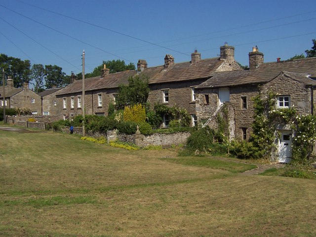
Calendar Plantation Images

Images are sourced within 2km of 54.295645/-2.0158217 or Grid Reference SD9988. Thanks to Geograph Open Source API. All images are credited.

Looking towards Ivy Scar Looking towards Ivy Scar from The Straights.
Looking towards Ivy Scar
Looking towards Ivy Scar from The Straights.
Woodhall Park Looking towards Addleborough.
Woodhall Park
Looking towards Addleborough.
River Ure near Woodhall Looking upstream.
River Ure near Woodhall
Looking upstream.
River Ure near Aysgarth Looking downstream with Penhill in the distance.
River Ure near Aysgarth
Looking downstream with Penhill in the distance.
Footbridge over the River Ure Footbridge over the River Ure near Aysgarth.
Footbridge over the River Ure
Footbridge over the River Ure near Aysgarth.
Benchmark on The Old Goat House Ordnance Survey cut mark benchmark described on the Bench Mark Database at <span class="nowrap"><a title="www.bench-marks.org.uk/bm31142" rel="nofollow ugc noopener" href="http://www.bench-marks.org.uk/bm31142">Link</a><img style="margin-left:2px;" alt="External link" title="External link - shift click to open in new window" src="https://s1.geograph.org.uk/img/external.png" width="10" height="10"/></span>
Benchmark on The Old Goat House
Ordnance Survey cut mark benchmark described on the Bench Mark Database at LinkExternal link
The Old Goat House There is an Ordnance Survey benchmark <a href="https://www.geograph.org.uk/photo/6985668">SD9788 : Benchmark on The Old Goat House</a> on the near corner, right hand face (behind the white gates), of the house
The Old Goat House
There is an Ordnance Survey benchmark SD9788 : Benchmark on The Old Goat House on the near corner, right hand face (behind the white gates), of the house
West Beck beside the Thornton Rust sheepfold 'Here sheep wash and clipping was undertaken to wash out lanolin and ticks (and salve) from sheep fleeces before clipping. The stream was blocked at the lower end of the sheep dip site by inserting a wooden slab between the two large stone slabs (which can be seen in the photo in front of the hole in the dry stone wall) set in the stream. This created a large pool into which the sheep were driven and individually washed. This practice stopped in the early 1900s. One reason was that the wool processors realised that lanolin was a valuable product which they preferred to be left in the fleeces to process themselves'.
West Beck beside the Thornton Rust sheepfold
'Here sheep wash and clipping was undertaken to wash out lanolin and ticks (and salve) from sheep fleeces before clipping. The stream was blocked at the lower end of the sheep dip site by inserting a wooden slab between the two large stone slabs (which can be seen in the photo in front of the hole in the dry stone wall) set in the stream. This created a large pool into which the sheep were driven and individually washed. This practice stopped in the early 1900s. One reason was that the wool processors realised that lanolin was a valuable product which they preferred to be left in the fleeces to process themselves'.
Track towards Thornton Rust Ordnance Survey records indicate that a benchmark levelled at 274.774m above Newlyn Datum was verified in 1954 on a stone in the dry stone wall on the left hand side of the track 4.6m past the junction of walls on the right hand side of the track.
Track towards Thornton Rust
Ordnance Survey records indicate that a benchmark levelled at 274.774m above Newlyn Datum was verified in 1954 on a stone in the dry stone wall on the left hand side of the track 4.6m past the junction of walls on the right hand side of the track.
Track descending to Thornton Rust The 1893 Map shows a  benchmark at 946.3 feet on a rock beside the left hand side of the track at this location
Track descending to Thornton Rust
The 1893 Map shows a benchmark at 946.3 feet on a rock beside the left hand side of the track at this location
Benchmark on stone at base of wall corner at NW side of footpath at Nipe End Ordnance Survey pivot benchmark shown as levelled at 243.51m above Newlyn Datum on 1978-1979 1:2500 Map
Benchmark on stone at base of wall corner at NW side of footpath at Nipe End
Ordnance Survey pivot benchmark shown as levelled at 243.51m above Newlyn Datum on 1978-1979 1:2500 Map
Bend in Nipe Lane at  Nipe End There is an Ordnance Survey benchmark <a href="https://www.geograph.org.uk/photo/6995779">SD9789 : Benchmark on stone at base of wall corner at NW side of footpath at Nipe End</a> on a stone at the base of the wall at its corner  in the middle of the image
Bend in Nipe Lane at Nipe End
There is an Ordnance Survey benchmark SD9789 : Benchmark on stone at base of wall corner at NW side of footpath at Nipe End on a stone at the base of the wall at its corner in the middle of the image
Ballowfield Ford This ford is found just off The Straights beside Ballowfield Nature Reserve.
Ballowfield Ford
This ford is found just off The Straights beside Ballowfield Nature Reserve.
Folly Lane Ford This ford is found on Folly Lane.
Folly Lane Ford
This ford is found on Folly Lane.
Footbridge over the River Ure
Disused Wensleydale railway embankment
Fossil shells in limestone bed of stream at Thornton Rust
Ford at Thornton Rust The limestone bed is full of fossil shells, easily seen on the water-wet rock as seen here: <a href="https://www.geograph.org.uk/photo/7235586">SD9788 : Fossil shells in limestone bed of stream at Thornton Rust</a>
Ford at Thornton Rust
The limestone bed is full of fossil shells, easily seen on the water-wet rock as seen here: SD9788 : Fossil shells in limestone bed of stream at Thornton Rust
Show me another place!

Calendar Plantation is located at Grid Ref: SD9988 (Lat: 54.295645, Lng: -2.0158217)

Division: North Riding

Administrative County: North Yorkshire

District: Richmondshire

Police Authority: North Yorkshire

What 3 Words

///briskly.lanes.intrigued. Near Leyburn, North Yorkshire

Related Wikis

A684 road

The A684 is an A road that runs through Cumbria and North Yorkshire, starting at Kendal, Cumbria and ending at Ellerbeck and the A19 road in North Yorkshire...

Aysgarth

Aysgarth is a village and civil parish in Wensleydale, in North Yorkshire, England. The village is in the Yorkshire Dales National Park, about 16 miles...

Carperby

Carperby is a village in the Yorkshire Dales, North Yorkshire, England. It lies 7 miles (11 km) west of Leyburn. == Etymology == The derivation of the...

Castle Dykes Henge

Castle Dykes Henge is a Class I Neolithic henge earthwork in the Yorkshire Dales National Park in North Yorkshire, England, situated between the villages...

Thornton Rust

Thornton Rust is a village and civil parish in North Yorkshire, England. It lies in the Yorkshire Dales about 2 miles (3.2 km) west of Aysgarth, high on...

Woodhall, North Yorkshire

Woodhall is a small hamlet in Wensleydale, North Yorkshire, England. It is about 2 miles (3 km) away from Askrigg and 3 miles (5 km) north west of Aysgarth...

Carperby-cum-Thoresby

Carperby-cum-Thoresby is a civil parish in the Richmondshire district of North Yorkshire, England. The parish contains the village of Carperby and the...

St Andrew's Church, Aysgarth

St Andrew's Church, Aysgarth, is a Grade II* listed parish church in the Church of England: 66  in Aysgarth, North Yorkshire. It is located on the south...

Nearby Amenities

Located within 500m of 54.295645,-2.0158217
Barrier: stile
Lat/Long: 54.2996202/-2.0157224
Barrier: stile
Lat/Long: 54.2990042/-2.0132748
Ballowfield
Is In Country Code: GB
Is In County: North Yorkshire
Is In Municipality: Richmondshire
Place: isolated_dwelling
Source: NPE
Lat/Long: 54.2994198/-2.0147189
Seata
Is In Country Code: GB
Is In County: North Yorkshire
Is In Municipality: Richmondshire
Place: locality
Source: os_25k_firstseries
Lat/Long: 54.2927578/-2.011672
Power: pole
Lat/Long: 54.2914578/-2.0160021
Power: pole
Lat/Long: 54.2934522/-2.0136954
Power: pole
Lat/Long: 54.2914046/-2.0175202
Power: pole
Lat/Long: 54.2941003/-2.0137276
Power: pole
Lat/Long: 54.2914954/-2.0135291
Power: pole
Lat/Long: 54.2914641/-2.0147415
Power: pole
Lat/Long: 54.2921435/-2.0136686
Barrier: cattle_grid
Bicycle: yes
Foot: yes
Lat/Long: 54.2961291/-2.0124317
Power: pole
Transformer: distribution
Lat/Long: 54.2949041/-2.0137449
Power: pole
Lat/Long: 54.294861/-2.0137355
Ford: stepping_stones
Lat/Long: 54.2973511/-2.010488
The data included in this document is from www.openstreetmap.org. The data is made available under ODbL.

Have you been to Calendar Plantation?

Leave your review of Calendar Plantation below (or comments, questions and feedback).