Higher Grove
Wood, Forest in Dorset
England
Higher Grove
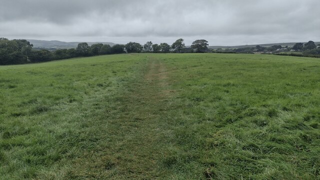
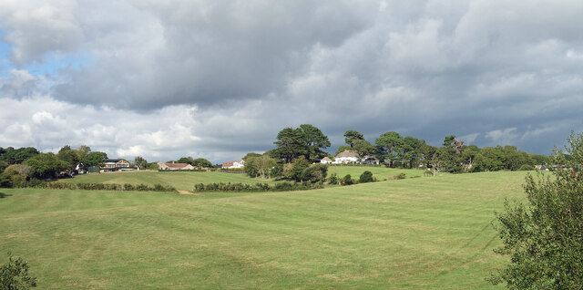
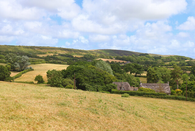
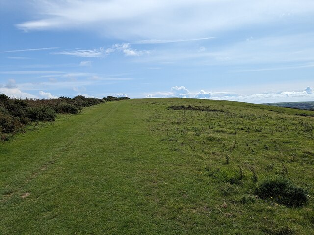
Higher Grove is a picturesque woodland area located in the county of Dorset, England. Situated in the southeastern part of the county, it covers a vast area of approximately 100 acres. The woodland is predominantly made up of a variety of tree species, including oak, beech, birch, and pine, creating a stunning and diverse landscape.
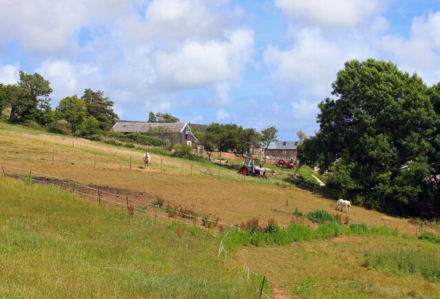
The forest is known for its tranquil and serene atmosphere, making it an ideal destination for nature enthusiasts and those seeking a peaceful retreat. The dense vegetation provides a haven for numerous wildlife species, including deer, rabbits, squirrels, and a myriad of bird species.
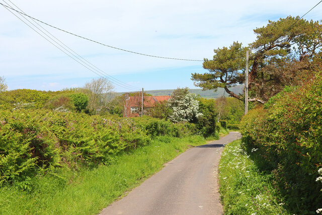
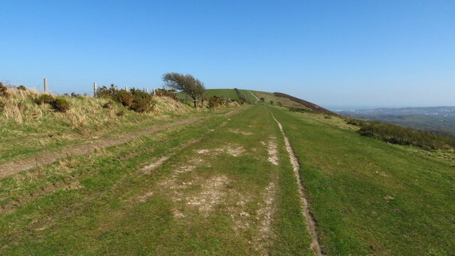
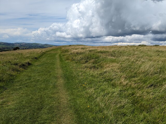
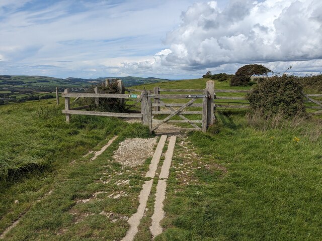
Higher Grove offers a range of recreational activities for visitors to enjoy. There are several well-maintained walking trails that meander through the forest, allowing visitors to explore the natural beauty at their own pace. The trails provide breathtaking views of the surrounding countryside, with occasional glimpses of the nearby coastline.
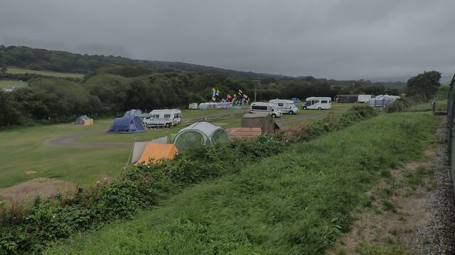
For those interested in outdoor pursuits, Higher Grove also offers designated areas for camping and picnicking. These areas are equipped with basic facilities such as picnic tables, fire pits, and restroom facilities, ensuring a comfortable and enjoyable experience for visitors.
The woodland is easily accessible, with ample parking available for visitors. Additionally, there are information boards scattered throughout the area, providing valuable insights into the flora, fauna, and history of the forest.
Overall, Higher Grove in Dorset is a captivating woodland destination that offers a serene escape from the hustle and bustle of everyday life. Its natural beauty, diverse wildlife, and recreational opportunities make it a must-visit location for nature lovers and outdoor enthusiasts alike.
If you have any feedback on the listing, please let us know in the comments section below.
Higher Grove Images
Images are sourced within 2km of 50.630731/-2.0155001 or Grid Reference SY9981. Thanks to Geograph Open Source API. All images are credited.
Higher Grove is located at Grid Ref: SY9981 (Lat: 50.630731, Lng: -2.0155001)
Unitary Authority: Dorset
Police Authority: Dorset
What 3 Words
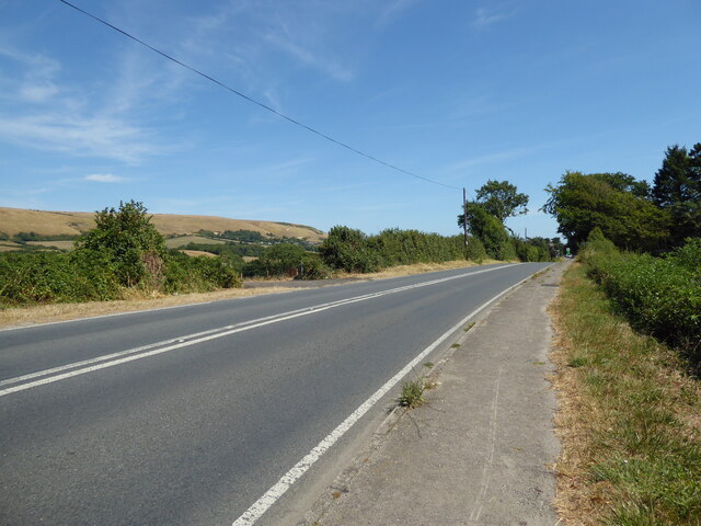
///sulky.health.caring. Near Corfe Castle, Dorset
Nearby Locations
Related Wikis

Rempstone Stone Circle
Rempstone Stone Circle (grid reference SY994820) is a stone circle located near to Corfe Castle on the Isle of Purbeck in the south-western English county...

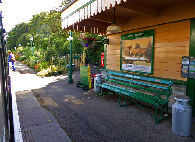
Harman's Cross
Harman's Cross is a small village on the Isle of Purbeck in Dorset, England. It is situated on the A351 road between Swanage and Corfe Castle. The village...

Woolgarston
Woolgarston is a village in Dorset, England. == External links == Media related to Woolgarston at Wikimedia Commons

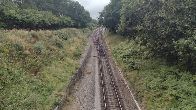
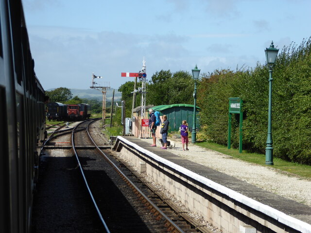
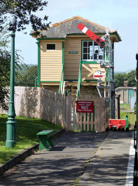
Harman's Cross railway station
Harman's Cross railway station is a railway station located in the village of Harman's Cross, on the Isle of Purbeck in the English county of Dorset. It...

Brenscombe Heath
Brenscombe Heath (grid reference SY985829) is a 34.7 hectare biological Site of Special Scientific Interest in Corfe Castle, Dorset, notified in 1985....

Nine Barrow Down
Nine Barrow Down is an elongated hill forming the northern ridge of the Purbeck Hills on the Isle of Purbeck in Dorset, England. The chalk down is part...

Rowbarrow Hundred
Rowbarrow Hundred or Rowberrow Hundred was a hundred in the county of Dorset, England, containing the following parishes: Langton Matravers Studland Swanage...

The Old Malthouse School
The Old Malthouse School (The OMH) was a preparatory school in the village of Langton Matravers near Swanage in the Isle of Purbeck, Dorset, United Kingdom...
Nearby Amenities
Located within 500m of 50.630731,-2.0155001Have you been to Higher Grove?
Leave your review of Higher Grove below (or comments, questions and feedback).